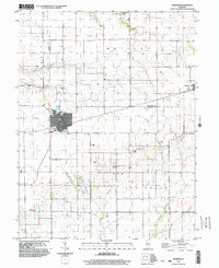
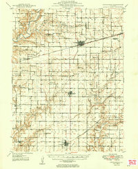
1998 Map of Windsor
USGS Topo · Published 2003About this map
The town of Windsor serves as a central hub in this late 20th-century landscape, where the border between Shelby and Moultrie counties creates a distinct north-south divide. The region is characterized by a high density of rural burial grounds and places of worship, including Ash Grove Ch and various family-named sites like Moberley Cem, Hilligoss Cem, and Templeton Cem. These sites, alongside landmarks like the Townhall at Sexson Corner, reflect a deeply rooted agricultural community structure that persisted even as infrastructure modernized.
Find a feature on this map
29 named features on this map. Tap any name to fly to it.
Don’t see what you’re looking for? This feature index may not catch every label — zoom into the map to look around manually.
Map Details
Editions of this 1998 Windsor Map
This is the sole edition of this map. No revisions or reprints were ever made.
Other maps of this area
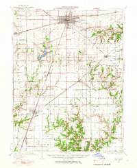
1934 · Mattoon
USGS Topo · 1:62,500
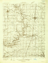
1935 · Arcola
USGS Topo · 1:48,000
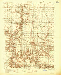
1935 · Sullivan
USGS Topo · 1:48,000
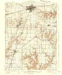
1937 · Mattoon
USGS Topo · 1:62,500
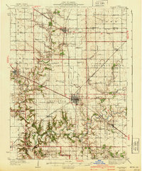
1940 · Sullivan
USGS Topo · 1:62,500
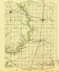
1940 · Arcola
USGS Topo · 1:62,500
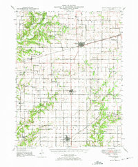
1947 · Stewardson
USGS Topo · 1:62,500
1949 · Stewardson
USGS Topo · 1:62,500

1958 · Decatur
USGS Topo · 1:250,000

1961 · Decatur
USGS Topo · 1:250,000