Old Maps of Lovington, Illinois for Hiking & Exploration
Hike through history with 19 historic maps of Lovington. Explore old trails, ghost towns, and forgotten backroads — perfect for outdoor adventurers and local explorers.
- Rediscover forgotten places: Map out old mining camps, roads, and footpaths that no longer exist on modern maps.
- Layer with modern tools: Combine with LiDAR or satellite views to plan hikes through historical terrain.
- Made for exploration: Popular among hikers, overlanders, and local history lovers.
Use these maps to find adventure and explore the hidden past of Lovington.
Lovington, IL maps
(19)- 1935 Map of Sullivan
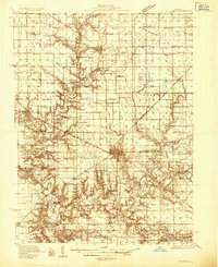 1935 Sullivan1935 Print · USGSMid-depression Moultrie County is captured here as a thriving network of small school districts and railroad sidings. Genealogists can trace family roots through dozens of local landmarks like Stringtown Sch, the Masonic Home, and Campfield Cem.3 unique versions available
 - 1940 Map of Sullivan
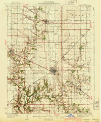 1940 Sullivan1940 Print · USGSCentral Illinois is seen here just before the Second World War, showing a landscape defined by small townships and an extensive rail network. Genealogists and local researchers can locate dozens of country schools like Hewitt Sch and Titus Sch, or trace family sites such as Wright Cem and the Masonic Home.2 unique versions available
 - 1958 Map of Decatur, 1971 Print
 1958 Decatur1971 Print · USGSCentral Illinois in the mid-twentieth century shows a landscape defined by industrial rail hubs and the creation of large reservoirs. Researchers can trace historic corridors like the Penn Central or locate landmarks such as Lincoln Log Cabin State Park and Lake Springfield.3 unique versions available
 - 1961 Map of Decatur
 1961 Decatur1961 Print · USGSCentral Illinois in the late fifties was a bustling corridor of rail lines and prairie commerce centered on the state capital. Genealogists and historians can trace the intricate connections between Springfield, Decatur, and dozens of smaller settlements like Nokomis and Arcola.2 unique versions available
 - 1983 Map of Lovington
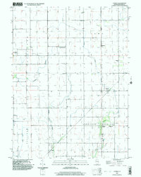
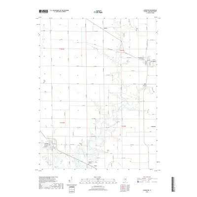
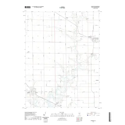
 1983 Lovington1983 Print · USGSLovington and Bethany are the primary population centers of this central Illinois landscape in the early 1980s. Genealogists can locate several burial sites like Mitchell Cem and Wright Cem, or trace the path of the Illinois Central Gulf railroad.
 - 1983 Map of Cadwell
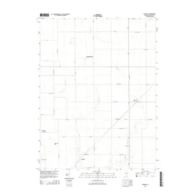
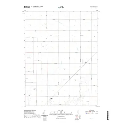
 1983 Cadwell1983 Print · USGSMoultrie County at the start of the eighties shows a classic Illinois agricultural landscape structured by rail lines and small prairie towns. Genealogists and historians can locate rural landmarks like Seass Cem, the Townhall at Fairbanks, and the siding at Chipps.
 - 1985 Map of Decatur
 1985 Decatur1985 Print · USGSCentral Illinois farming and rail hubs thrive in the mid-1980s as Decatur anchors a sprawling network of track and timber. Trace the paths of the Sangamon River and the Illinois Central Gulf RR through old towns like Cerro Gordo and Bement.2 unique versions available
 - 1998 Map of Cadwell, 2003 Print
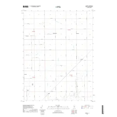
 1998 Cadwell2003 Print · USGSMoultrie County at the close of the millennium shows a landscape of enduring rural townships and scattered rail-era settlements. Researchers can pinpoint early community sites like Williamsburg, the Seass Cem, and the path of the Old Railroad Grade.
 - 1999 Map of Lovington, 2003 Print
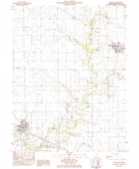
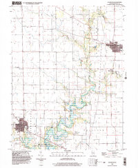 1999 Lovington2003 Print · USGSMoultrie County at the close of the century shows a landscape of steady agricultural communities and protected wetlands. Genealogists and local historians can trace family locations near Lovington and Bethany, or locate rural landmarks like Hewitt Cem and St Isadore Ch.
 - 2012 Map of Cadwell, 2012 Print
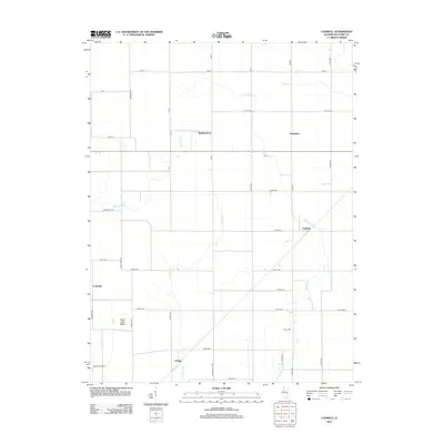 2012 Cadwell2012 Print · USGSCovers Lovington, including Cadwell, Chipps, and other nearby areas
 - 2012 Map of Lovington, 2012 Print
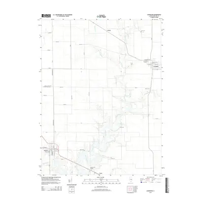
 2012 Lovington2012 Print · USGSCovers Lovington, including Bethany, Ullrich, and other nearby areas
 - 2015 Map of Lovington, 2015 Print
 2015 Lovington2015 Print · USGSCovers Lovington, including Bethany, Ullrich, and other nearby areas
 - 2015 Map of Cadwell, 2015 Print
 2015 Cadwell2015 Print · USGSCovers Lovington, including Cadwell, Chipps, and other nearby areas
 - 2018 Map of Lovington, 2018 Print
 2018 Lovington2018 Print · USGSCovers Lovington, including Bethany, Ullrich, and other nearby areas
 - 2018 Map of Cadwell, 2018 Print
 2018 Cadwell2018 Print · USGSCovers Lovington, including Cadwell, Chipps, and other nearby areas
 - 2021 Map of Lovington, 2021 Print
 2021 Lovington2021 Print · USGSCovers Lovington, including Bethany, Ullrich, and other nearby areas
 - 2021 Map of Cadwell, 2021 Print
 2021 Cadwell2021 Print · USGSCovers Lovington, including Cadwell, Chipps, and other nearby areas
 - 2024 Map of Cadwell, 2024 Print
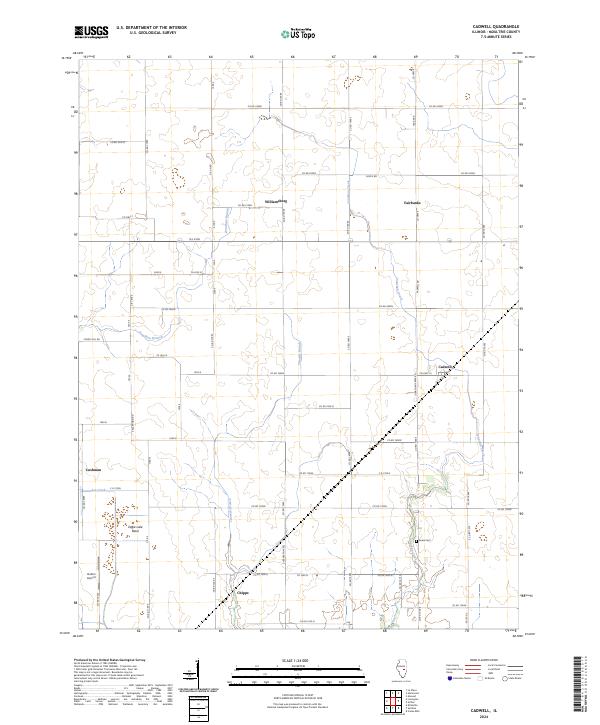 2024 Cadwell2024 Print · USGSMoultrie County at the start of the 2020s remains a landscape of historic prairie hamlets and creek-side settlements. Genealogists and local historians can trace family locations near Seass Cem, Williamsburg, and the junction at Cadwell.
 - 2024 Map of Lovington, 2024 Print
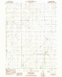
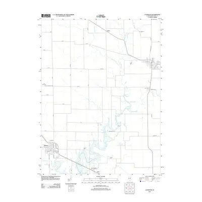
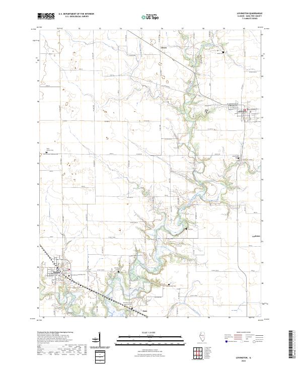 2024 Lovington2024 Print · USGSLovington and Bethany anchor this Moultrie County landscape in 2024, where the winding West Okaw River cuts through the prairie. Genealogists can trace family sites at Marrowbone Township Cem, Pea Cem, and Mitchell Cem among several others.
End of results
Showing maps 1-19 of 19
Top cities near Lovington
- Decatur historical maps
- Mattoon historical maps
- Sullivan historical maps
- Bement historical maps
- Cerro Gordo historical maps
- Long Creek historical maps
See more
Frequently asked questions
- What are the different types of historical maps available for Lovington?
- What is the oldest map of Lovington?
- Where can I purchase historical maps of Lovington for my home or office?
- Where can I download high-res historical maps of Lovington?
- Are there historical topographic maps available for Lovington?
- Is there historical aerial imagery available for Lovington?
- Where are historical maps of Lovington sourced from?