Old Maps of Buffalo Township, Illinois for Genealogy
Trace your family roots with 37 historic maps of Buffalo Township. These high-res maps reveal old neighborhoods, homesites, landmarks, and streets — helping you uncover where your ancestors lived and how the area evolved over time.
- Explore historic neighborhoods: Identify where your relatives may have lived in the 1800s or 1900s.
- Compare maps over time: Trace the changes in streets, buildings, and landmarks for multi-generational research.
- Perfect for genealogy & ancestry research: Used by family historians and researchers to map out lineage and migration.
These maps are an incredible resource for exploring your personal connection to Buffalo Township's past.
Buffalo Township, IL maps
(37)- 1930 Map of Woodsung
 1930 Woodsung1930 Print · USGSNorthern Illinois at the dawn of the 1930s shows a landscape of tight-knit farming townships linked by the Lincoln Highway. Genealogists and local historians can trace schoolhouse locations like Stone Sch and Gap Grove Sch, or locate family sites near the Prairieville Cem.
 - 1942 Map of Forreston, 1965 Print
 1942 Forreston1965 Print · USGSForreston and the surrounding Ogle County prairie are shown during a height of rail activity in the 1940s. Genealogists can trace family roots through numerous country schools like White Oak Sch and rural landmarks such as Prairie Dell Ch and Shelly Cem.2 unique versions available
 - 1945 Map of Forreston
 1945 Forreston1945 Print · USGSIn the mid-1940s, the rural landscapes of Ogle and Stephenson counties were defined by a sprawling network of one-room schoolhouses and busy rail lines. Genealogists and historians can trace family roots at West Grove Ch, Maryland, and schools like Wall Sch or Good Sch.2 unique versions available
 - 1946 Map of Sterling, 1969 Print
 1946 Sterling1969 Print · USGSThe Rock River corridor in the mid-1940s is captured here, showing the industrial heart of the region alongside its deep agricultural roots. Researchers can find dozens of country schools and cemeteries, including Buffalo Grove Sch, Zion Cem, and Oak Knoll Mem Park Cem.
 - 1948 Map of Sterling
 1948 Sterling1948 Print · USGSMid-century Sterling and Rock Falls are captured here during a time of robust rail and river activity. Genealogists can trace family roots through dozens of rural landmarks, including the Prairieville settlement, West Science Ridge Ch, and Hitt Cem.2 unique versions available
 - 1954 Map of Rockford
 1954 Rockford1954 Print · USGSThe Rock River valley and the Illinois-Wisconsin borderlands are captured here in the mid-1950s during a period of robust industrial and agricultural activity. Genealogists and historians can trace rail-era corridors like the Illinois Central RR and locate landmarks from Big Foot Prairie to Lake Geneva.
 - 1955 Map of Rockford
 1955 Rockford1955 Print · USGSThe Rock River valley and southern Wisconsin dairy country are shown here in the mid-fifties as the region's manufacturing centers grew. Genealogists and historians can trace the paths of the Chicago and North Western RR and Illinois Central RR through hubs like Rockford and Beloit.
 - 1958 Map of Aurora, 1969 Print
 1958 Aurora1969 Print · USGSNorthern Illinois in the late fifties shows a landscape of powerful river industry and expanding transport corridors. Genealogists and historians can trace the development of Aurora and Joliet or locate sites like the Elwood Ordnance Plant and Starved Rock.3 unique versions available
 - 1958 Map of Rockford, 1974 Print
 1958 Rockford1974 Print · USGSNorthern Illinois and southern Wisconsin are shown here in the mid-twentieth century as rail-dependent industrial towns began to interface with growing lakefront communities. Genealogists can trace family roots through settlements like Saylesville and Tess Corners or locate historical landmarks like the Rockford Ordnance Depot.4 unique versions available
 - 1961 Map of Aurora
 1961 Aurora1961 Print · USGSNorthern Illinois at the height of the post-war era reveals a landscape of massive industrial works and thriving river towns. Genealogists and historians can trace the paths of the Lincoln Highway or locate long-standing landmarks like the Green River Ordnance Plant and Starved Rock State Park.
 - 1963 Map of Rockford
 1963 Rockford1963 Print · USGSThe mid-century industrial corridor along the Rock River is shown here during a period of rapid post-war growth. Researchers can trace the extensive rail lines of the Chicago and North Western or locate local landmarks like the Rockford Ordnance Depot and Holy Hill.
 - 1981 Map of Rockford
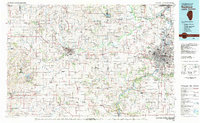 1981 Rockford1981 Print · USGSNorthern Illinois during the early eighties shows a landscape shaped by river valleys and a maturing rail network. Genealogists can trace family roots through settlements like Morseville and Buckhorn Corners while exploring the Rock River valley.2 unique versions available
 - 1983 Map of Brookville, 1984 Print
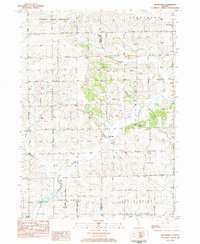 1983 Brookville1984 Print · USGSThe rural borderlands of Carroll and Ogle counties are captured here in the early 1980s, revealing a landscape of family farms and creek valleys. Genealogists can trace family sites near Brookville or locate burials at Chambers Grove Cem and Schiner Cem.
 - 1983 Map of Polo, 1984 Print
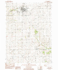 1983 Polo1984 Print · USGSDuring the early 1980s, the rural townships of Ogle and Lee Counties maintained a steady landscape of family farms and small-town centers like Polo. Researchers can locate several burial grounds including Fairmont Cem and trace old country schools like Congress Sch.
 - 1983 Map of Hazelhurst, 1984 Print
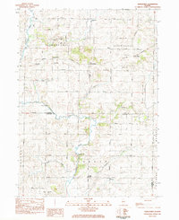 1983 Hazelhurst1984 Print · USGSWhiteside and Ogle counties are captured here in the early eighties, showcasing a landscape of creek-side hamlets and rural parish life. Genealogists can trace family footprints at Nichols Cem or follow the rails of the Burlington Northern through Hazelhurst.
 - 1983 Map of Forreston South, 1984 Print
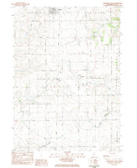 1983 Forreston South1984 Print · USGSOgle County's agricultural heartland is documented here in the early 1980s as rural life centered on crossroads like Haldane and the Illinois Central Gulf rail corridor. Researchers can locate local landmarks including the Church of the Brethren, West Branch Cem, and Goose Hollow.
 - 1985 Map of Dixon
 1985 Dixon1985 Print · USGSNorth-central Illinois in the mid-eighties was a land of river cities and expansive prairies defined by rail lines and private airfields. Researchers can locate family landmarks like Oakwood Cem, the Sword Landing Strip, and Sauk Valley College while tracing the C & N W railroad.2 unique versions available
 - 2012 Map of Brookville, 2012 Print
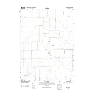 2012 Brookville2012 Print · USGSCarroll County farm country is captured here during the early twenty-first century as the landscape transitioned toward modern agricultural practices. Genealogists can locate family burial plots at the Brookville Lutheran Cem and trace the small community at Goose Hollow.
 - 2012 Map of Forreston South, 2012 Print
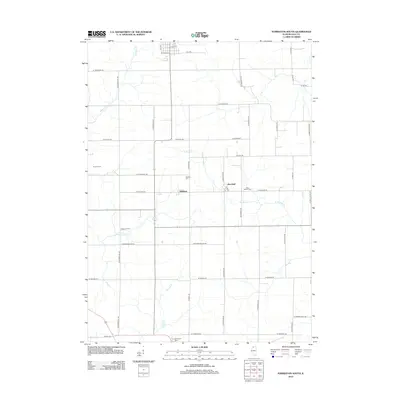 2012 Forreston South2012 Print · USGSThe rural expanses of Ogle County are captured in this early 21st-century study of the Illinois prairie. Researchers can locate specific family lands like Oakwood Farm and trace local genealogy through the Haldane Cem and West Branch Cem.
 - 2012 Map of Hazelhurst, 2012 Print
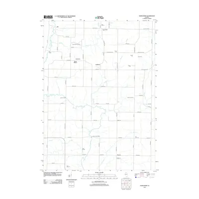 2012 Hazelhurst2012 Print · USGSThe Ogle County countryside near Eagle Point was a landscape of established farmsteads and rural crossroads in the early 21st century. Genealogists and local historians can trace legacy sites like South Elkhorn Methodist Cem, Carter Siding, and several named crossings including Wolf Bridge.
 - 2012 Map of Polo, 2012 Print
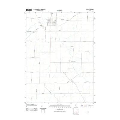 2012 Polo2012 Print · USGSThe village of Polo and its surrounding Ogle County farmstead grid are captured here in the early twenty-first century. Researchers can trace family history through Saint Mary's Cem and Reed Cem or locate the historic Buffalo Grove area.
 - 2015 Map of Hazelhurst, 2015 Print
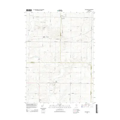 2015 Hazelhurst2015 Print · USGSThe rural borders of Ogle, Carroll, and Whiteside counties come into sharp focus in this mid-2010s survey. Genealogists can trace family landmarks and rural burial grounds like South Elkhorn Methodist Cem or find historic crossings like Wolf Bridge.
 - 2015 Map of Polo, 2015 Print
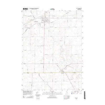 2015 Polo2015 Print · USGSOgle County's agricultural heartland is documented here in the mid-2010s, centered on the historic crossroads of Polo and the settlement at Woosung. Genealogists and local historians can trace legacy sites like Buffalo Grove Cem and Reed Cem alongside the waters of Buffalo Cr.
 - 2015 Map of Forreston South, 2015 Print
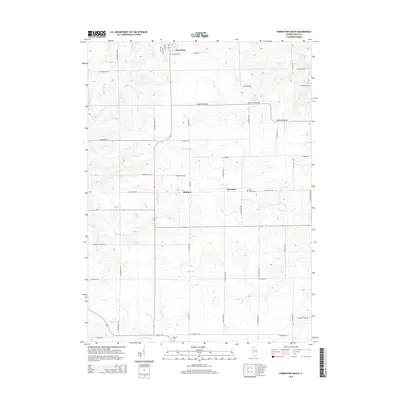 2015 Forreston South2015 Print · USGSOgle County's rural townships are documented here during the mid-2010s, showing a landscape of established farmsteads and small settlements. Genealogists can trace family locations and local landmarks such as Fairmount Cem, Haldane, and the quiet crossroads of Maryland.
 - 2015 Map of Brookville, 2015 Print
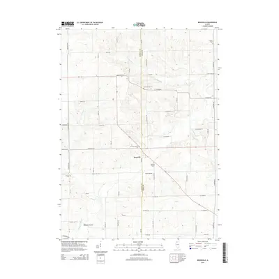 2015 Brookville2015 Print · USGSThe rural border of Carroll and Ogle Counties comes into sharp focus during this mid-2010s survey of the Illinois prairie. Researchers can trace ancestral locations through numerous burial grounds like Brookville Lutheran Cem and Schriner Cem, or follow the forks of Elkhorn Cr.
Showing maps 1-25 of 37
Top cities near Buffalo Township
- Dixon historical maps
- Sterling historical maps
- Rock Falls historical maps
- Oregon historical maps
- Mount Morris historical maps
- Palmyra historical maps
See more
Top neighborhoods of Buffalo Township
Frequently asked questions
- What are the different types of historical maps available for Buffalo Township?
- What is the oldest map of Buffalo Township?
- Where can I purchase historical maps of Buffalo Township for my home or office?
- Where can I download high-res historical maps of Buffalo Township?
- Are there historical topographic maps available for Buffalo Township?
- Is there historical aerial imagery available for Buffalo Township?
- Where are historical maps of Buffalo Township sourced from?