2000s (21st Century) Maps of Byron Township, Illinois
Explore 20 historic maps of Byron Township from the 2000s (21st Century). These maps offer a rare glimpse into what life looked like during the 2000s — showing old roads, neighborhoods, homes, and landmarks that have changed or disappeared over time.
Whether you're researching your family's past, planning a metal detecting trip, or studying how Byron Township's landscape evolved across the 2000s, these high-resolution maps are a powerful tool for exploring the history of this region.
- Focus on a specific era: All maps on this page are from the 2000s, giving you a focused view of this time period.
- See what’s changed: Compare century-old streets, trails, and buildings to today's modern landscape using overlays and satellite layers.
- Research with precision: Use these maps for genealogy, historical research, land use analysis, or educational projects.
- View, download, or print: Maps are fully viewable online in high resolution, and can be downloaded or printed for your own records.
Start exploring Byron Township's history through authentic maps from the 2000s. This is your window into the past.
Byron Township, IL maps
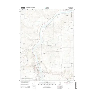
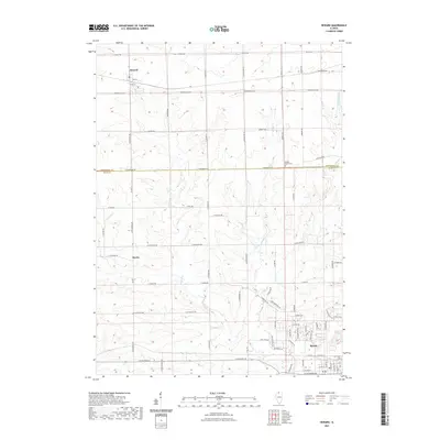
(20)- 2012 Map of Oregon, 2012 Print
 2012 Oregon2012 Print · USGSCovers Byron Township, including Oregon, Byron, and other nearby areas
 - 2012 Map of Stillman Valley, 2012 Print
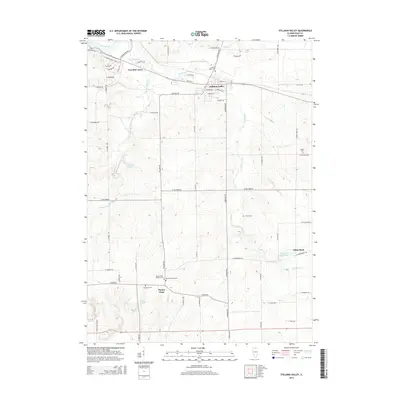
 2012 Stillman Valley2012 Print · USGSCovers Byron Township, including Byron, Stillman Valley, and other nearby areas
 - 2012 Map of Seward, 2012 Print
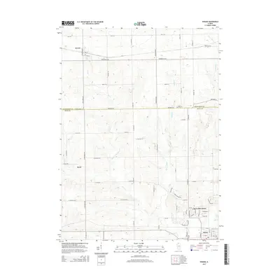
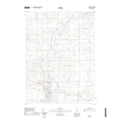
 2012 Seward2012 Print · USGSCovers Byron Township, including Byron, Seward, and other nearby areas
 - 2012 Map of Kishwaukee, 2012 Print
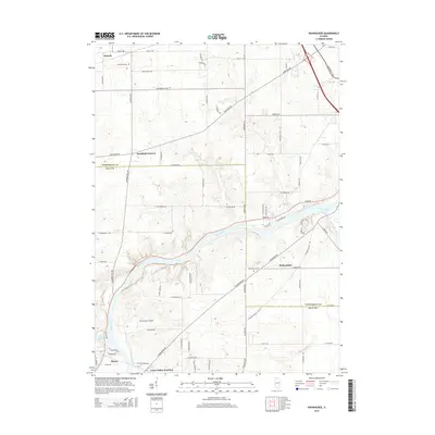
 2012 Kishwaukee2012 Print · USGSCovers Byron Township, including Rockford, Byron, and other nearby areas
 - 2015 Map of Oregon, 2015 Print
 2015 Oregon2015 Print · USGSCovers Byron Township, including Oregon, Byron, and other nearby areas
 - 2015 Map of Seward, 2015 Print
 2015 Seward2015 Print · USGSCovers Byron Township, including Byron, Seward, and other nearby areas
 - 2015 Map of Stillman Valley, 2015 Print
 2015 Stillman Valley2015 Print · USGSCovers Byron Township, including Byron, Stillman Valley, and other nearby areas
 - 2015 Map of Kishwaukee, 2015 Print
 2015 Kishwaukee2015 Print · USGSCovers Byron Township, including Rockford, Byron, and other nearby areas
 - 2018 Map of Seward, 2018 Print
 2018 Seward2018 Print · USGSCovers Byron Township, including Byron, Seward, and other nearby areas
 - 2018 Map of Stillman Valley, 2018 Print
 2018 Stillman Valley2018 Print · USGSCovers Byron Township, including Byron, Stillman Valley, and other nearby areas
 - 2018 Map of Oregon, 2018 Print
 2018 Oregon2018 Print · USGSCovers Byron Township, including Oregon, Byron, and other nearby areas
 - 2018 Map of Kishwaukee, 2018 Print
 2018 Kishwaukee2018 Print · USGSCovers Byron Township, including Rockford, Byron, and other nearby areas
 - 2021 Map of Seward, 2021 Print
 2021 Seward2021 Print · USGSCovers Byron Township, including Byron, Seward, and other nearby areas
 - 2021 Map of Kishwaukee, 2021 Print
 2021 Kishwaukee2021 Print · USGSCovers Byron Township, including Rockford, Byron, and other nearby areas
 - 2021 Map of Oregon, 2021 Print
 2021 Oregon2021 Print · USGSCovers Byron Township, including Oregon, Byron, and other nearby areas
 - 2021 Map of Stillman Valley, 2021 Print
 2021 Stillman Valley2021 Print · USGSCovers Byron Township, including Byron, Stillman Valley, and other nearby areas
 - 2024 Map of Kishwaukee, 2024 Print
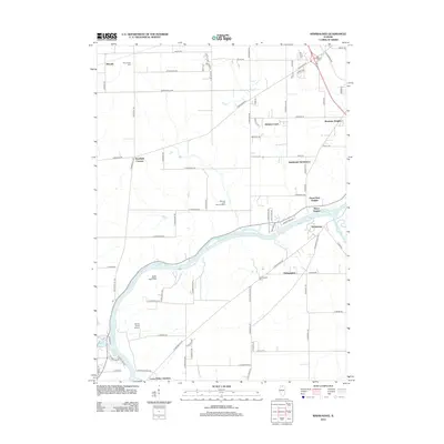
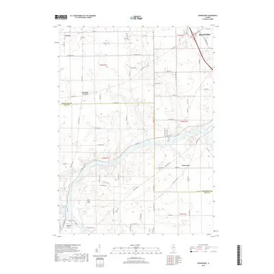
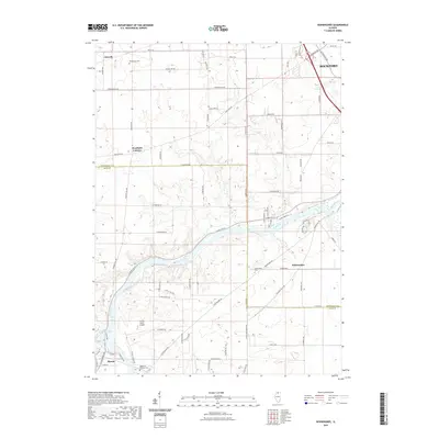
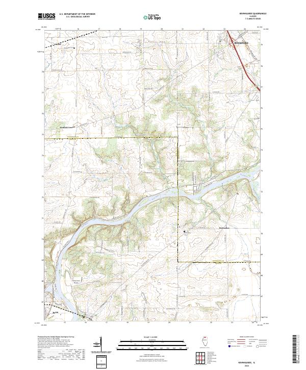 2024 Kishwaukee2024 Print · USGSThe confluence of the Rock River and Kishwaukee River defines this northern Illinois landscape in the early 2020s. Researchers can trace the rural history of the valley through small settlements like Alworth, the Winnebago Cem, and the Thrifty Acres Airport.
 - 2024 Map of Stillman Valley, 2024 Print
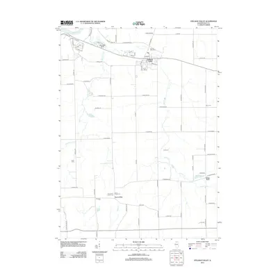
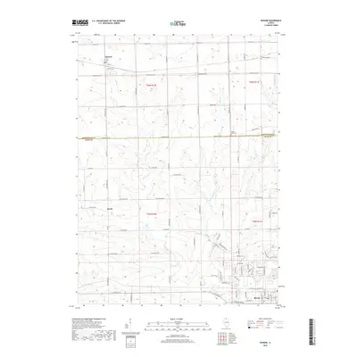
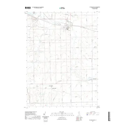
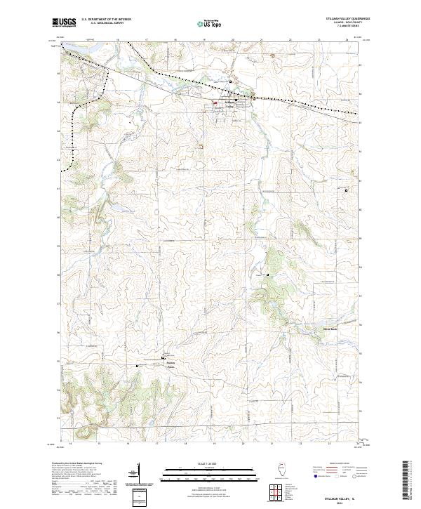 2024 Stillman Valley2024 Print · USGSOgle County's rural character and significant military history are preserved in this contemporary survey. Genealogists and historians can trace family plots at Beach Cem or Stillman Valley Cem, and visit the Stillman's Run Battlefield.
 - 2024 Map of Seward, 2024 Print
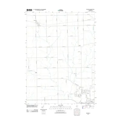
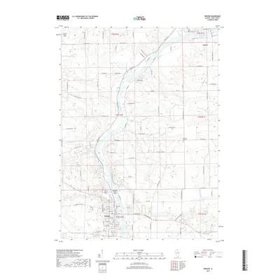
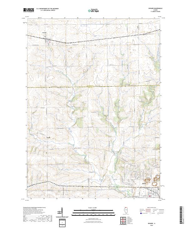 2024 Seward2024 Print · USGSThe borderlands of Winnebago and Ogle counties are documented here in the early twenty-first century, showing a landscape of structured rural townships. Genealogists and local historians can trace the roads connecting Seward, Myrtle, and Byron, while locating landmarks like Middle Creek Cem.
 - 2024 Map of Oregon, 2024 Print
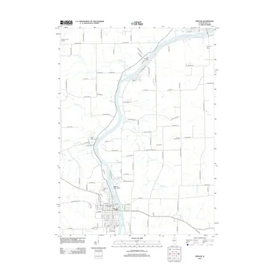
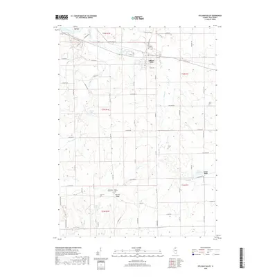
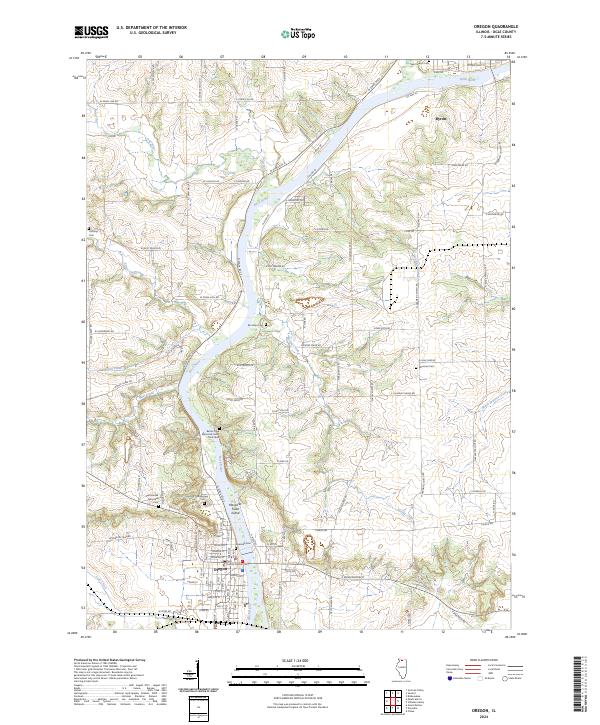 2024 Oregon2024 Print · USGSThe Rock River valley in Ogle County serves as a focal point for this contemporary survey of Oregon and Byron. Researchers can trace local lineage through numerous sites like Riverview Cem, Brooklyn Cem, and the Saint Brides Episcopal church grounds.
End of results
Showing maps 1-20 of 20
Top cities near Byron Township
- Rockford historical maps
- Loves Park historical maps
- Machesney Park historical maps
- Rochelle historical maps
- Roscoe historical maps
- Oregon historical maps
See more
Frequently asked questions
- What are the different types of historical maps available for Byron Township?
- What is the oldest map of Byron Township?
- Where can I purchase historical maps of Byron Township for my home or office?
- Where can I download high-res historical maps of Byron Township?
- Are there historical topographic maps available for Byron Township?
- Is there historical aerial imagery available for Byron Township?
- Where are historical maps of Byron Township sourced from?