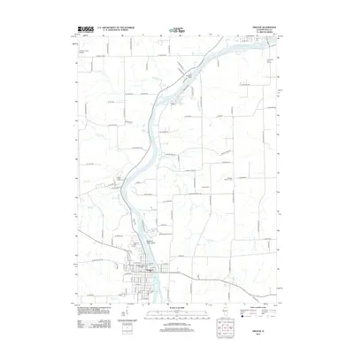
2012 Map of Oregon
USGS Topo · Published 2012About this map
The Rock River carves a deep path through Ogle County, centering on the city of Oregon. This river corridor serves as the primary orientation for the landscape, punctuated by Margaret Fuller Island and the expansive grounds of Lowden State Park on the eastern bank. The settlement pattern shows a dense grid in the town center, where the Oregon Bible College and several civic institutions are established, while the surrounding area transitions into a mix of agricultural land and specialized recreational sites like the Silver Ridge Golf Course.
Find a feature on this map
105 named features on this map. Tap any name to fly to it.
Don’t see what you’re looking for? This feature index may not catch every label — zoom into the map to look around manually.
Map Details
Editions of this 2012 Oregon Map
This is the sole edition of this map. No revisions or reprints were ever made.
Other maps of this area

1917 · Kings
USGS Topo · 1:62,500

1918 · Dixon
USGS Topo · 1:62,500

1918 · Kings
USGS Topo · 1:62,500

1922 · Oregon
USGS Topo · 1:62,500

1924 · Oregon
USGS Topo · 1:62,500

1950 · Dixon
USGS Topo · 1:62,500

1952 · Rochelle
USGS Topo · 1:62,500

1954 · Rockford
USGS Topo · 1:250,000

1955 · Rockford
USGS Topo · 1:250,000

1958 · Aurora
USGS Topo · 1:250,000