2020s Maps of Peoria County, Illinois
Explore 34 historic maps of Peoria County from the 2020s. These maps offer a rare glimpse into what life looked like during the 2020s — showing old roads, neighborhoods, homes, and landmarks that have changed or disappeared over time.
Whether you're researching your family's past, planning a metal detecting trip, or studying how Peoria County's landscape evolved across the 2020s, these high-resolution maps are a powerful tool for exploring the history of this region.
- Focus on a specific era: All maps on this page are from the 2020s, giving you a focused view of this time period.
- See what’s changed: Compare century-old streets, trails, and buildings to today's modern landscape using overlays and satellite layers.
- Research with precision: Use these maps for genealogy, historical research, land use analysis, or educational projects.
- View, download, or print: Maps are fully viewable online in high resolution, and can be downloaded or printed for your own records.
Start exploring Peoria County's history through authentic maps from the 2020s. This is your window into the past.
Peoria County, IL maps
(34)- 2021 Map of Farmington East, 2021 Print
 2021 Farmington East2021 Print · USGSCovers Peoria County, including Farmington, Trivoli, and other nearby areas
 - 2021 Map of Laura, 2021 Print
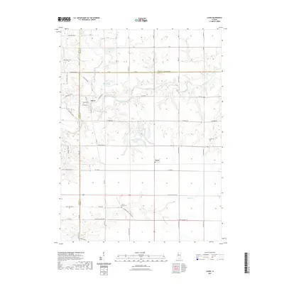 2021 Laura2021 Print · USGSCovers Peoria County, including Elmore, Laura, and other nearby areas
 - 2021 Map of Elmwood, 2021 Print
 2021 Elmwood2021 Print · USGSCovers Peoria County, including Elmwood, Brimfield, and other nearby areas
 - 2021 Map of Hanna City, 2021 Print
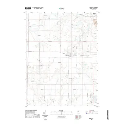 2021 Hanna City2021 Print · USGSCovers Peoria County, including Hanna City, Eden, and other nearby areas
 - 2021 Map of Peoria West, 2021 Print
 2021 Peoria West2021 Print · USGSCovers Peoria County, including Peoria, Bartonville, and other nearby areas
 - 2021 Map of Edelstein, 2021 Print
 2021 Edelstein2021 Print · USGSCovers Peoria County, including Princeville, Akron, and other nearby areas
 - 2021 Map of Oak Hill, 2021 Print
 2021 Oak Hill2021 Print · USGSCovers Peoria County, including Kickapoo, Brimfield, and other nearby areas
 - 2021 Map of Princeville, 2021 Print
 2021 Princeville2021 Print · USGSCovers Peoria County, including Princeville, Monica, and other nearby areas
 - 2021 Map of Germantown Hills, 2021 Print
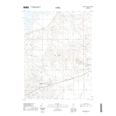 2021 Germantown Hills2021 Print · USGSCovers Peoria County, including Metamora, Germantown Hills, and other nearby areas
 - 2021 Map of Chillicothe, 2021 Print
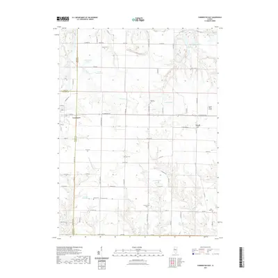
 2021 Chillicothe2021 Print · USGSCovers Peoria County, including Chillicothe, Hopewell, and other nearby areas
 - 2021 Map of Banner, 2021 Print
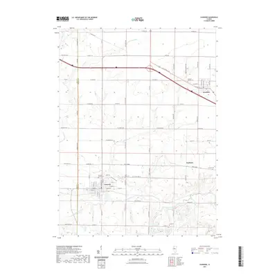
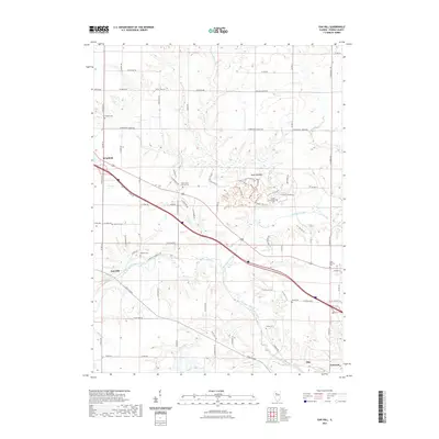
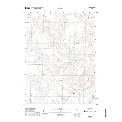 2021 Banner2021 Print · USGSCovers Peoria County, including Canton, Banner, and other nearby areas
 - 2021 Map of Pekin, 2021 Print
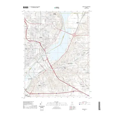
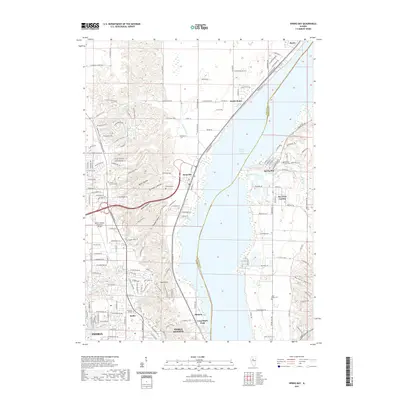
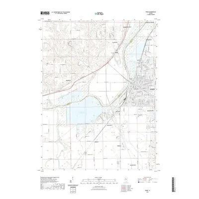 2021 Pekin2021 Print · USGSCovers Peoria County, including Pekin, Bartonville, and other nearby areas
 - 2021 Map of Rome, 2021 Print
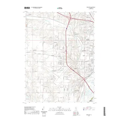
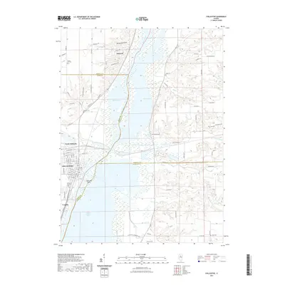
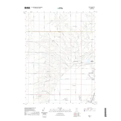 2021 Rome2021 Print · USGSCovers Peoria County, including Chillicothe, North Hampton, and other nearby areas
 - 2021 Map of Peoria East, 2021 Print
 2021 Peoria East2021 Print · USGSCovers Peoria County, including Peoria, East Peoria, and other nearby areas
 - 2021 Map of Glasford, 2021 Print
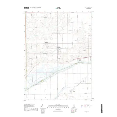 2021 Glasford2021 Print · USGSCovers Peoria County, including Glasford, Kingston Mines, and other nearby areas
 - 2021 Map of Dunlap, 2021 Print
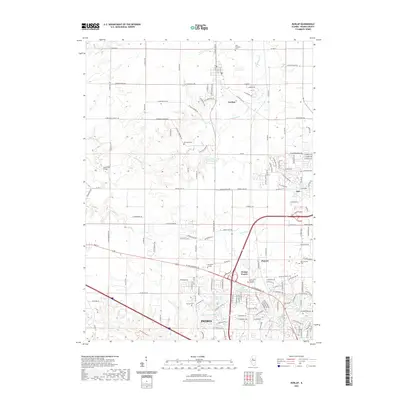 2021 Dunlap2021 Print · USGSCovers Peoria County, including Peoria, Dunlap, and other nearby areas
 - 2021 Map of Spring Bay, 2021 Print
 2021 Spring Bay2021 Print · USGSCovers Peoria County, including Peoria, Spring Bay, and other nearby areas
 - 2024 Map of Pekin, 2024 Print
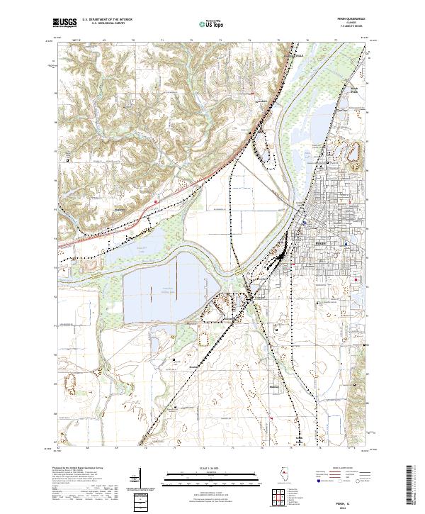 2024 Pekin2024 Print · USGSThe Illinois River valley comes into focus during the early 2020s, highlighting the industrial sprawl and residential patterns around the Tazewell County seat. Researchers can locate numerous historic burial sites like Sacred Heart Catholic Cem and trace the modern path of the Union Pacific RR past Powerton Cooling Lake.
 - 2024 Map of Banner, 2024 Print
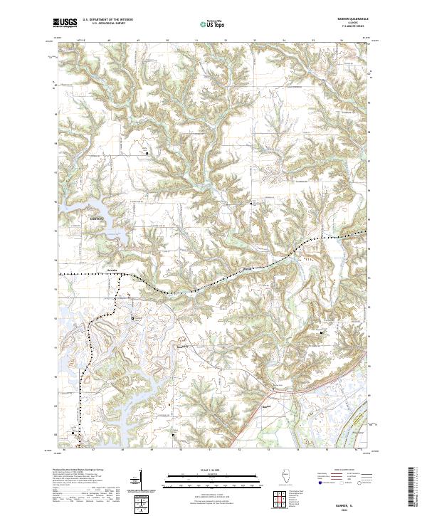 2024 Banner2024 Print · USGSEastern Fulton County is documented here in the early twenty-first century, showing the rural bluffs above the Illinois River. Genealogists can locate numerous local burial sites like Kings Hill Cem and Banner Cem, or trace the winding waters of Wildcat Creek.
 - 2024 Map of Hanna City, 2024 Print
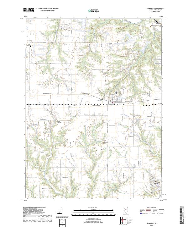 2024 Hanna City2024 Print · USGSPeoria County's agricultural heartland and growing residential lakes are documented here in the early twenty-first century. Researchers can locate several family and community burial grounds, such as Cottonwood Cem and Smithville Cem, or trace the winding course of Kickapoo Creek.
 - 2024 Map of Laura, 2024 Print
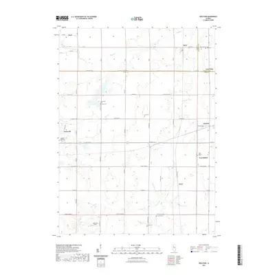
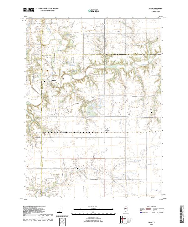 2024 Laura2024 Print · USGSPeoria and Knox Counties are captured here in the early 2020s, showcasing a landscape defined by the Spoon River and quiet rural crossroads. Researchers can trace family history at Millbrook Glendale Cem or locate the old post office in Laura.
 - 2024 Map of Farmington East, 2024 Print
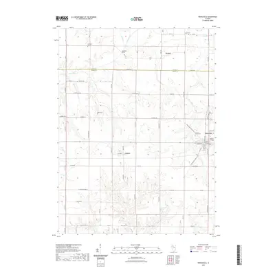
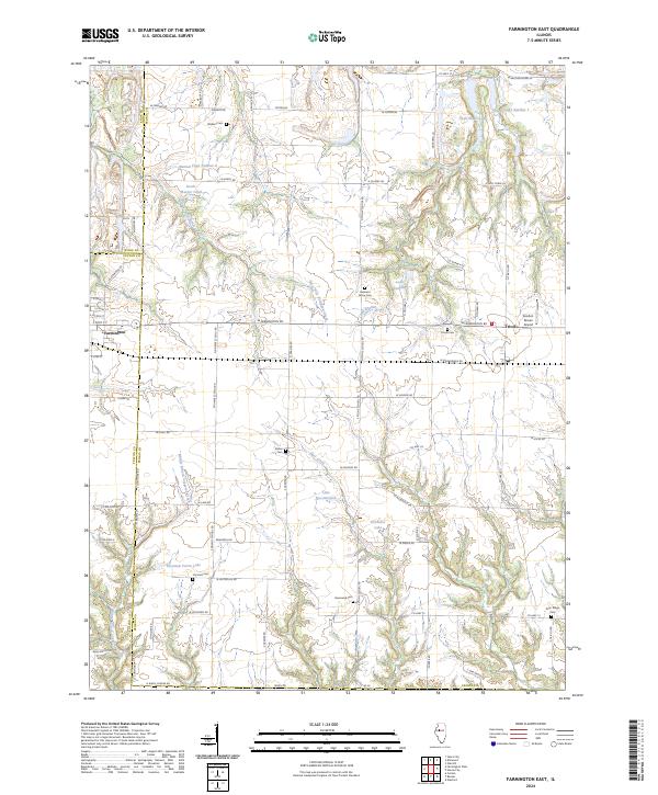 2024 Farmington East2024 Print · USGSPeoria and Fulton counties meet here in a landscape of creek-carved prairie and rural homesteads during the early 2020s. Genealogists can trace family footprints across Watkins Cem, Harkness Grove Cem, and the historic settlement of Trivoli.
 - 2024 Map of Rome, 2024 Print
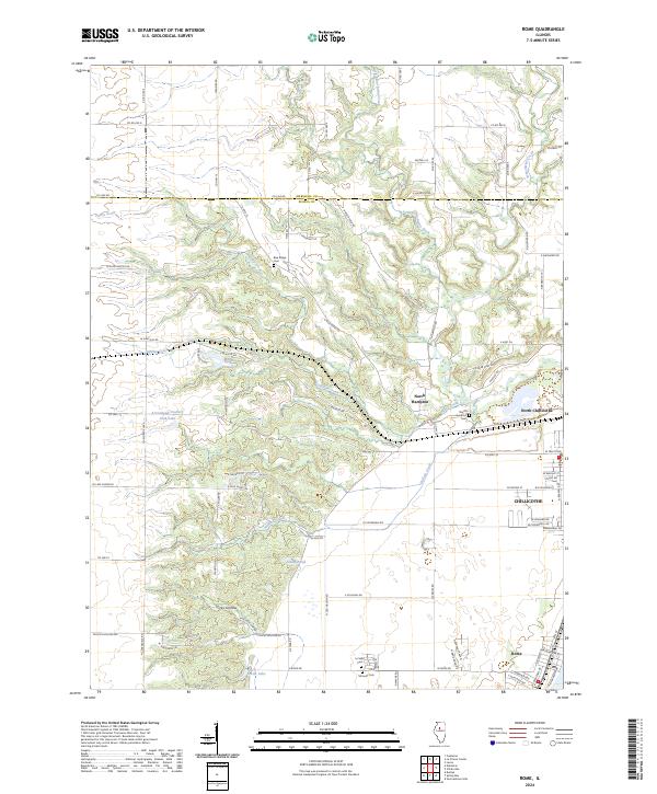 2024 Rome2024 Print · USGSAlong the Illinois River valley in the early twenty-first century, this area shows a blend of growing townships and deep creek hollows. Family historians can pinpoint Blue Ridge Cemetery or trace the drainage of Little Senachwine Creek near North Hampton.
 - 2024 Map of Princeville, 2024 Print
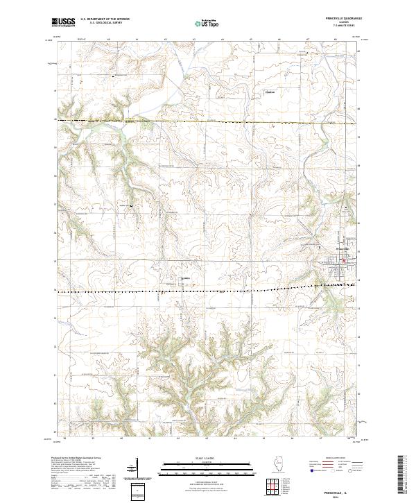 2024 Princeville2024 Print · USGSPeoria and Stark counties are shown in this modern survey of the Illinois prairie. Researchers can trace local lineage through several family and community burial sites like Stringtown Cem, Saint Mary Cem, and the Princeville Township Cem.
 - 2024 Map of Edelstein, 2024 Print
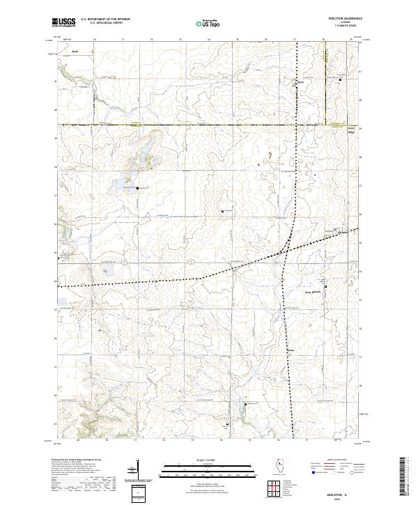 2024 Edelstein2024 Print · USGSNorth of Peoria in the 2020s, this landscape reveals the enduring rural structure of Stark and Marshall counties. Family historians can trace deep roots through numerous burial grounds like Streitmatter Cem, West Hallock Cem, and Prospect Cem.
Showing maps 1-25 of 34
Top cities of Peoria County
- Peoria historical maps
- Bartonville historical maps
- Chillicothe historical maps
- West Peoria historical maps
- Kickapoo historical maps
- Elmwood historical maps
See more
Frequently asked questions
- What are the different types of historical maps available for Peoria County?
- What is the oldest map of Peoria County?
- Where can I purchase historical maps of Peoria County for my home or office?
- Where can I download high-res historical maps of Peoria County?
- Are there historical topographic maps available for Peoria County?
- Is there historical aerial imagery available for Peoria County?
- Where are historical maps of Peoria County sourced from?