Old Maps of Hanna City, Illinois for Academic Research
Study the evolution of Hanna City with 15 high-resolution historic maps. Whether you're teaching, researching, or modeling changes in land use, these maps provide essential visual documentation of urban, environmental, and geographic change.
- Analyze long-term change: Track patterns in development, transportation, and natural features.
- Ideal for environmental or urban studies: Support academic projects with primary historical map data.
- Use in the classroom or lab: Educators and researchers rely on these maps to bring historical context to life.
These maps are a powerful tool for teaching, research, and visualizing how Hanna City has changed over the decades.
Hanna City, IL maps
(15)- 1930 Map of Glasford
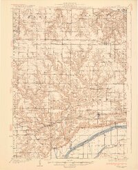 1930 Glasford1930 Print · USGSCentral Illinois river towns and upland prairie farms thrive in the late twenties between the Illinois River and Hanna City. Researchers can trace old coal operations at Baxter Mine or locate family roots at Penn Ridge Ch and Union Cemetery.3 unique versions available
 - 1948 Map of Glasford, 1965 Print
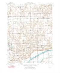 1948 Glasford1965 Print · USGSThe Illinois River valley near Glasford is captured here during the post-war era, showing a landscape defined by river commerce and coal extraction. Genealogists can locate dozens of country schools and churches, such as Graham Chapel, Blue Sch, and the Lightbody Mine.
 - 1958 Map of Peoria, 1969 Print
 1958 Peoria1969 Print · USGSCentral Illinois thrived as a hub of education and transport during the late sixties, as the new interstate system began to reshape the prairie. Genealogists and historians can trace local landmarks like Springdale Cem, Bradley University, and the sprawling grounds of Chanute AFB.4 unique versions available
 - 1961 Map of Peoria
 1961 Peoria1961 Print · USGSCentral Illinois thrived at the intersection of river trade and rail power during the late fifties. Genealogists and local historians can trace the rail networks of the Illinois Central and Wabash, alongside landmarks like Chanute AFB and Weldon Springs State Park.
 - 1963 Map of Peoria
 1963 Peoria1963 Print · USGSCentral Illinois thrived as a rail and highway crossroads during the early sixties, centered on the bustling Illinois River valley. Genealogists and historians can trace the mid-century layout of Peoria, locate the grounds of Chanute Air Force Base, and follow historic lines like the Toledo Peoria and Western Railway.
 - 1971 Map of Hanna City, 1973 Print
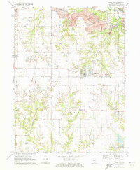 1971 Hanna City1973 Print · USGSHanna City and Logan Township are captured here in the early 1970s as industrial mining and new residential lake developments began to reshape the Peoria County prairie. Researchers can trace the Chicago and North Western tracks and locate local landmarks like the Hanna City Boys Sch and Smithville Cem.2 unique versions available
 - 1985 Map of Peoria
 1985 Peoria1985 Print · USGSThe Illinois River valley and the Tri-County area are captured here in the mid-1980s as industry and infrastructure reshaped the heart of the state. Researchers can trace the grounds of Jubilee College, locate the Stark Mine near Elmwood, or follow the busy tracks of the Norfolk and Western Railroad.
 - 1989 Map of Peoria
 1989 Peoria1989 Print · USGSThe Illinois River valley thrived as a regional center of industry, education, and transport during the late eighties. Researchers can trace the extensive rail networks of the Peoria and Pekin Union Railway or locate landmarks like Bradley University and the Peoria Air National Guard Base.
 - 1990 Map of Peoria
 1990 Peoria1990 Print · USGSCentral Illinois at the start of the nineties reveals a landscape of industrial river towns and sprawling university campuses. Researchers can trace the legacy of major institutions like Chanute Air Force Base and the University of Illinois alongside regional landmarks such as Sand Ridge State Forest.
 - 1996 Map of Hanna City, 1997 Print
 1996 Hanna City1997 Print · USGSPeoria County's rural landscape is captured here in the mid-1990s as longstanding farming communities began to interface with newer residential developments. Local historians can trace established landmarks like Texas Ch, Logan Sch, and the community of Smithville.
 - 2012 Map of Hanna City, 2012 Print
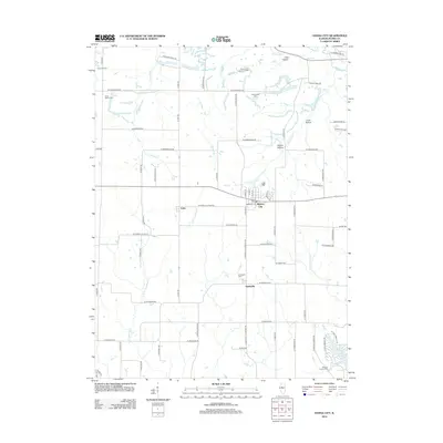 2012 Hanna City2012 Print · USGSCovers Hanna City, including Eden, Smithville, and other nearby areas
 - 2015 Map of Hanna City, 2015 Print
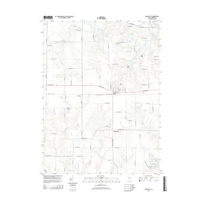 2015 Hanna City2015 Print · USGSCovers Hanna City, including Eden, Smithville, and other nearby areas
 - 2018 Map of Hanna City, 2018 Print
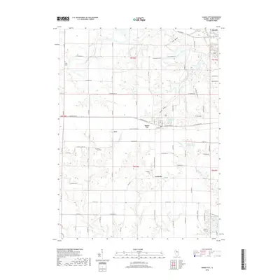 2018 Hanna City2018 Print · USGSCovers Hanna City, including Eden, Smithville, and other nearby areas
 - 2021 Map of Hanna City, 2021 Print
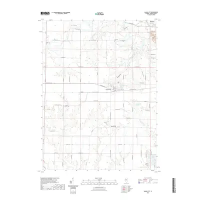 2021 Hanna City2021 Print · USGSCovers Hanna City, including Eden, Smithville, and other nearby areas
 - 2024 Map of Hanna City, 2024 Print
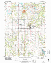
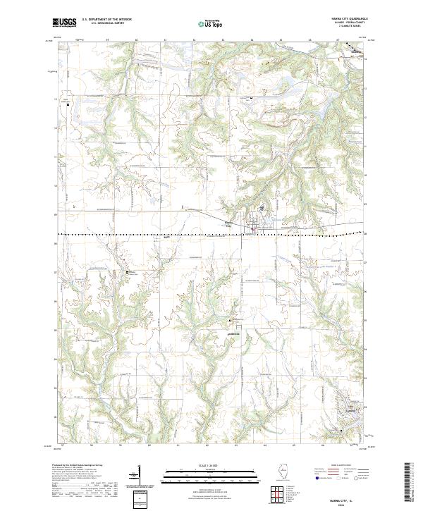 2024 Hanna City2024 Print · USGSPeoria County's agricultural heartland and growing residential lakes are documented here in the early twenty-first century. Researchers can locate several family and community burial grounds, such as Cottonwood Cem and Smithville Cem, or trace the winding course of Kickapoo Creek.
End of results
Showing maps 1-15 of 15
Top cities near Hanna City
- Peoria historical maps
- Pekin historical maps
- East Peoria historical maps
- Canton historical maps
- Bartonville historical maps
- Creve Coeur historical maps
See more
Frequently asked questions
- What are the different types of historical maps available for Hanna City?
- What is the oldest map of Hanna City?
- Where can I purchase historical maps of Hanna City for my home or office?
- Where can I download high-res historical maps of Hanna City?
- Are there historical topographic maps available for Hanna City?
- Is there historical aerial imagery available for Hanna City?
- Where are historical maps of Hanna City sourced from?