
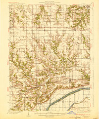
1930 Map of Glasford
USGS Topo · Published 1930About this map
The Illinois River serves as the focal point for commerce and transport in this 1927 survey, winding past the settlements of Glasford and Kingston Mines. The river landscape is a complex network of backwaters like Kerry Lake Slough, Norman Slough, and Jackass Pd, illustrating the original hydrologic character of the valley before modern alterations. Along the southern banks, the Toledo Peoria and Western Railroad links small communities such as Breeds and Rawalts, while the northern uplands are dominated by an intensive grid of rural school districts.
Find a feature on this map
98 named features on this map. Tap any name to fly to it.
Don’t see what you’re looking for? This feature index may not catch every label — zoom into the map to look around manually.
Map Details
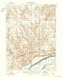
Editions of this 1930 Glasford Map
3 editions found
Other maps of this area

1893 · Dunlap
USGS Topo · 1:62,500

1898 · Dunlap
USGS Topo · 1:62,500

1905 · Peoria
USGS Topo · 1:62,500

1912 · Canton
USGS Topo · 1:62,500

1925 · Havana
USGS Topo · 1:62,500

1927 · Peoria
USGS Topo · 1:62,500

1929 · Manito
USGS Topo · 1:62,500

1932 · Dunlap
USGS Topo · 1:62,500

1932 · Manito
USGS Topo · 1:62,500

1933 · Dunlap
USGS Topo · 1:62,500