Loading...
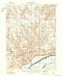
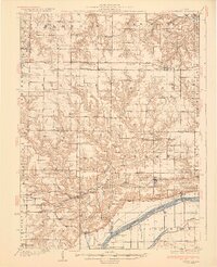
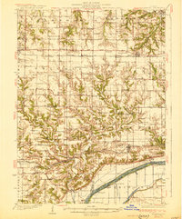
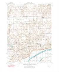
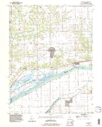
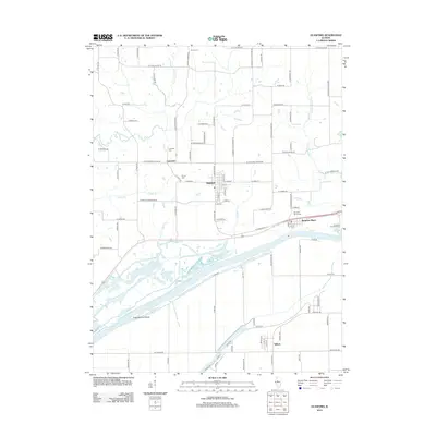
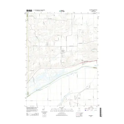
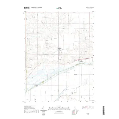
Loading map...1930 Map of Glasford
USGS Topo · Published 1950About this map
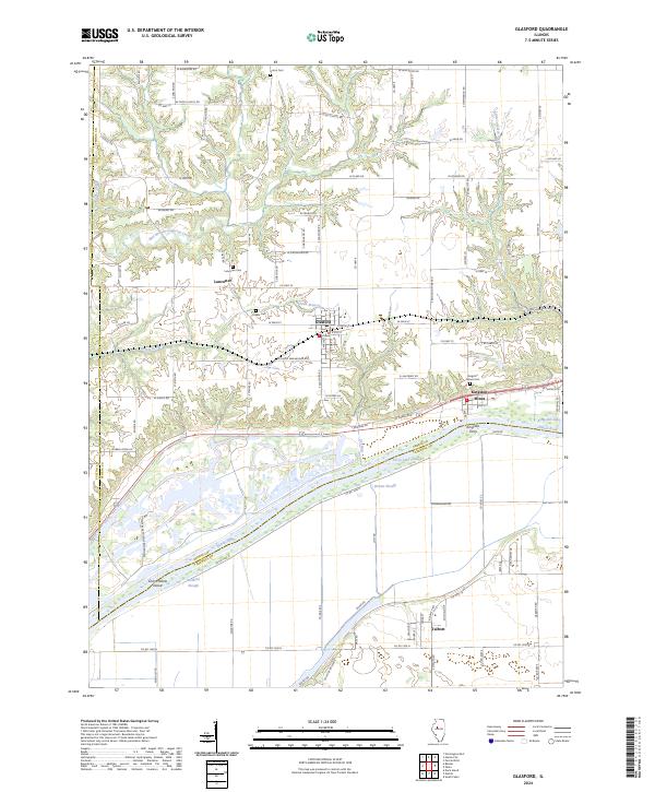
Kingston Mines and the Illinois River shoreline anchor the southeastern corner of this Illinois landscape, where coal extraction and grain transport defined the local economy. The southern reaches are dominated by the river's complex hydrology, featuring the Spring Lake Canal, Lake Slough, and the lowlands of Coal Hollow. Industrial activity is evident at the Baxter Mine and Lightbody Mine, while the Toledo Peoria and Western railroad provides the primary east-west corridor through the bluffs.
Find a feature on this map
90 named features on this map. Tap any name to fly to it.
Don’t see what you’re looking for? This feature index may not catch every label — zoom into the map to look around manually.
Map Details
Date Portrayed1930
Date Published1950
PublisherU.S. Geological Survey
Map TypeTopographic
Scale1:62,500
Physical Dimensions16.9 x 20.7 inches
Editions of this 1930 Glasford Map
3 editions found
Historical Maps of Canton Through Time
9 maps found


Featured Locations
Source Details
SourceU.S. Geological Survey
CopyrightPublic Domain