2020s Maps of Pulaski County, Illinois
Explore 20 historic maps of Pulaski County from the 2020s. These maps offer a rare glimpse into what life looked like during the 2020s — showing old roads, neighborhoods, homes, and landmarks that have changed or disappeared over time.
Whether you're researching your family's past, planning a metal detecting trip, or studying how Pulaski County's landscape evolved across the 2020s, these high-resolution maps are a powerful tool for exploring the history of this region.
- Focus on a specific era: All maps on this page are from the 2020s, giving you a focused view of this time period.
- See what’s changed: Compare century-old streets, trails, and buildings to today's modern landscape using overlays and satellite layers.
- Research with precision: Use these maps for genealogy, historical research, land use analysis, or educational projects.
- View, download, or print: Maps are fully viewable online in high resolution, and can be downloaded or printed for your own records.
Start exploring Pulaski County's history through authentic maps from the 2020s. This is your window into the past.
Pulaski County, IL maps
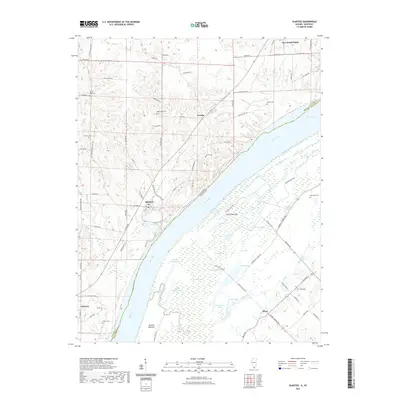
(20)- 2021 Map of Karnak, 2021 Print
 2021 Karnak2021 Print · USGSCovers Pulaski County, including Karnak, New Grand Chain, and other nearby areas
 - 2021 Map of Cache, 2021 Print
 2021 Cache2021 Print · USGSCovers Pulaski County, including Roth, Cache, and other nearby areas
 - 2021 Map of Mill Creek, 2021 Print
 2021 Mill Creek2021 Print · USGSCovers Pulaski County, including Tamms, Mill Creek, and other nearby areas
 - 2021 Map of Tamms, 2021 Print
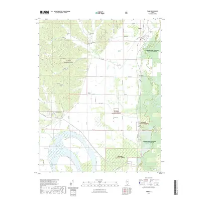 2021 Tamms2021 Print · USGSCovers Pulaski County, including Tamms, Dawleys, and other nearby areas
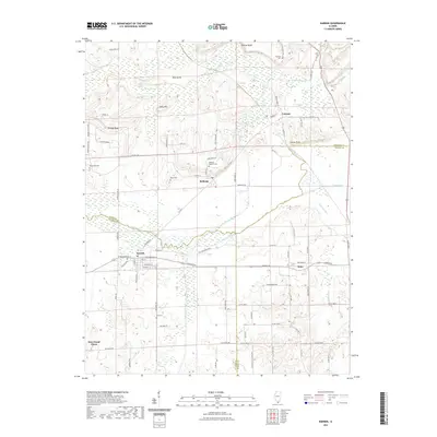
 - 2021 Map of Pulaski, 2021 Print
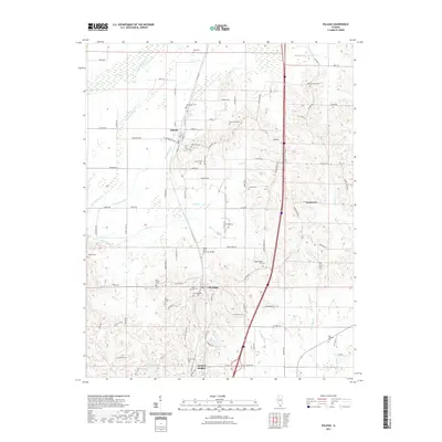 2021 Pulaski2021 Print · USGSCovers Pulaski County, including Pulaski, Pryortown, and other nearby areas
 - 2021 Map of Dongola, 2021 Print
 2021 Dongola2021 Print · USGSCovers Pulaski County, including Dongola, Ullin, and other nearby areas
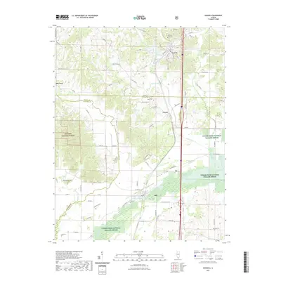
 - 2021 Map of Cypress, 2021 Print
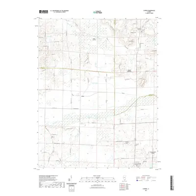 2021 Cypress2021 Print · USGSCovers Pulaski County, including Cypress, New Grand Chain, and other nearby areas
 - 2021 Map of Olmsted, 2021 Print
 2021 Olmsted2021 Print · USGSCovers Pulaski County, including Olmsted, New Grand Chain, and other nearby areas
 - 2021 Map of Cairo, 2021 Print
 2021 Cairo2021 Print · USGSCovers Pulaski County, including Cairo, Mounds, and other nearby areas
 - 2022 Map of Barlow, 2022 Print
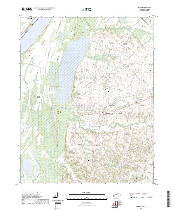 2022 Barlow2022 Print · USGSThe riverfront and wetlands of Ballard County are captured here in the early 2020s, centered on the community of Barlow. Family historians can locate numerous burial sites like Old Hazelwood Cem and Bridgewater Graveyard near the shores of the Ohio River.
 - 2022 Map of Bandana, 2022 Print
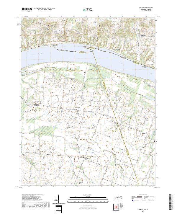 2022 Bandana2022 Print · USGSThe northern tip of Kentucky meets the Illinois border along the Ohio River in this detailed study of Ballard and McCracken counties. Researchers can trace family history through numerous rural burial sites like Providence Cem and explore local landmarks from Monkeys Eyebrow to Hillerman Rock.
 - 2024 Map of Tamms, 2024 Print
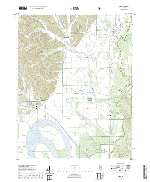 2024 Tamms2024 Print · USGSSouthern Illinois agricultural and forest lands are captured in this recent survey, centered on the Tamms and Olive Branch communities. Genealogists can locate numerous burial sites like McCrite Cem and Solomon Cem near the Cache River.
 - 2024 Map of Cypress, 2024 Print
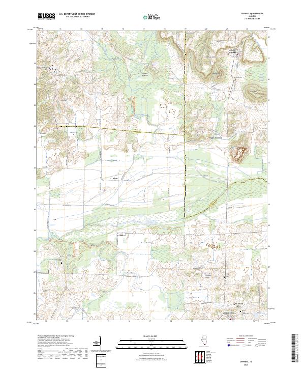 2024 Cypress2024 Print · USGSSouthern Illinois at the crossroads of Union, Johnson, and Pulaski counties reveals a rich network of bottomlands and settlements. Researchers can trace local history through the Grand Chain area, Shawnee Community College, and the sprawling Cypress Creek National Wildlife Refuge.
 - 2024 Map of Dongola, 2024 Print
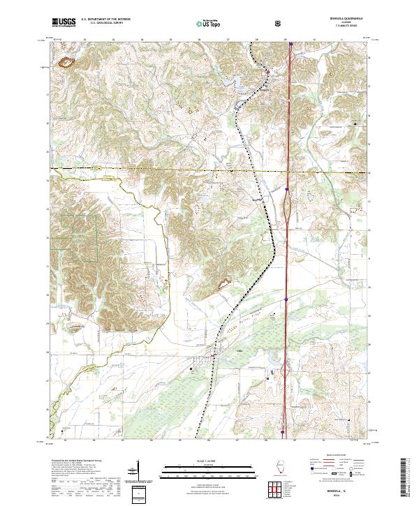 2024 Dongola2024 Print · USGSSouthern Illinois bottomlands and ridges come alive in this recent survey of the Cache River corridor. Trace local family history through American Legion Cem and Ullin Cem, or follow the Canadian National rail line through Dongola and Wetaug.
 - 2024 Map of Olmsted, 2024 Print
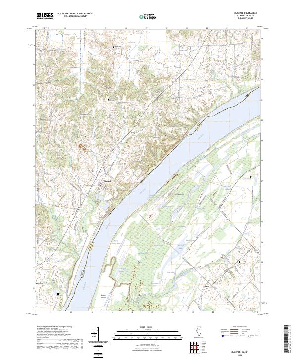 2024 Olmsted2024 Print · USGSThe Illinois-Kentucky border comes alive in this contemporary survey of the Ohio River valley. Genealogists can locate family landmarks like Bethlehem Cem and Lyerly Cem or trace the riverfront at Olmsted and America.
 - 2024 Map of Cache, 2024 Print
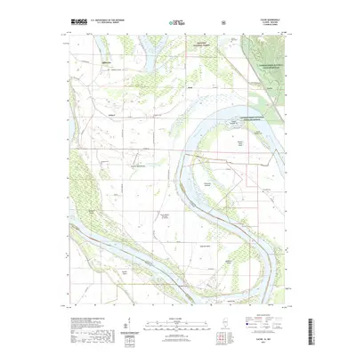
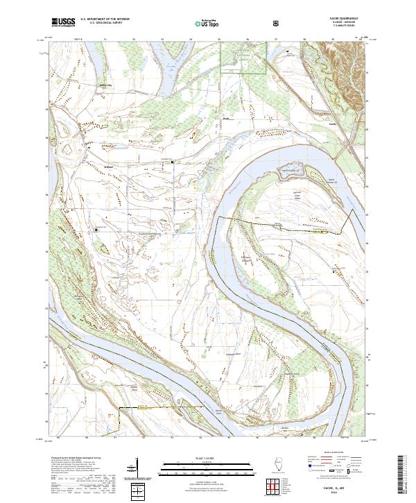 2024 Cache2024 Print · USGSThe confluence of river and floodplains in southern Illinois is captured here, showing how the Mississippi River channel defines the state border. Genealogists can locate several burial grounds like Bumgard Cem and Thompson Cem near the historic Dogtooth Bend area.
 - 2024 Map of Pulaski, 2024 Print
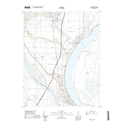
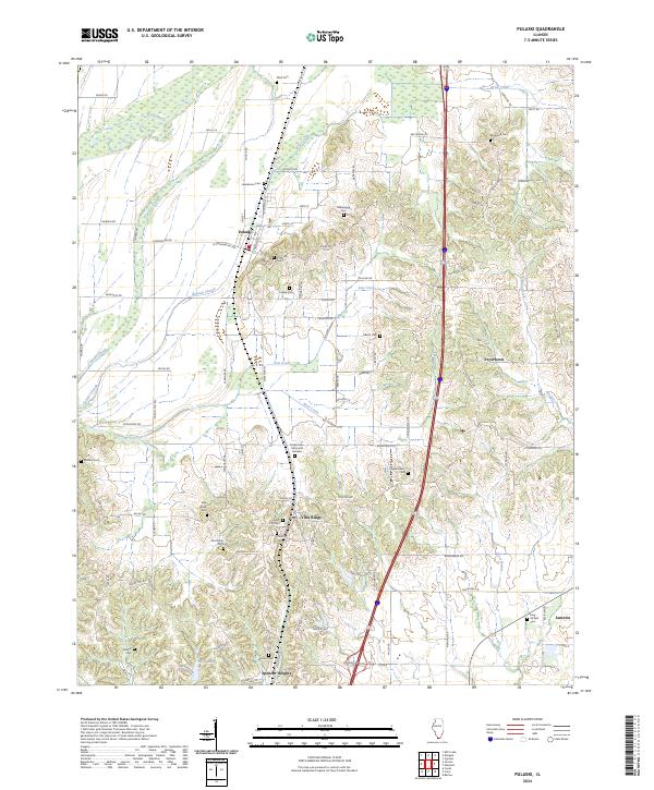 2024 Pulaski2024 Print · USGSSouthern Illinois at the start of the 2020s shows a landscape of deep-rooted rural communities and extensive wetland conservation. Trace family histories through local landmarks like Rose Hill Cem and settlements such as Villa Ridge and Pryortown.
 - 2024 Map of Mill Creek, 2024 Print
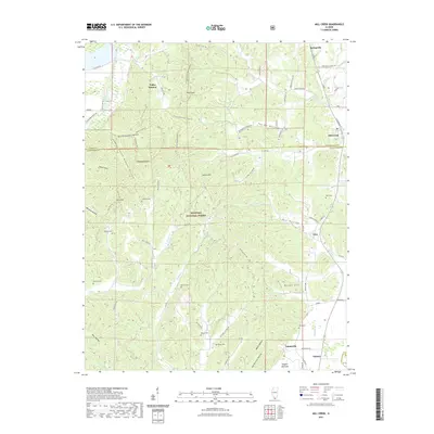
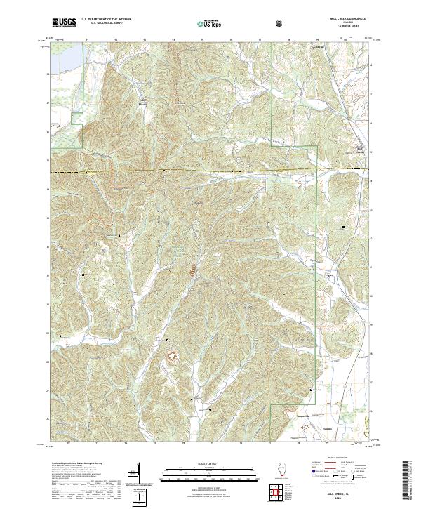 2024 Mill Creek2024 Print · USGSThe borderlands of Union and Alexander counties are shown here in modern detail, where the Shawnee National Forest meets early settlements. Researchers can trace numerous local burial sites like McCrite Cem and Honey Cem, or locate the Cauble School and Valley Mission.
 - 2024 Map of Karnak, 2024 Print
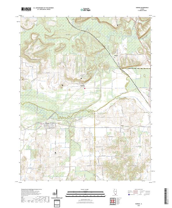 2024 Karnak2024 Print · USGSSouthern Illinois wetlands and small-town junctions are captured here in the early twenty-first century. Researchers can trace family sites near Belknap Masonic Cem, explore the corridors of Karnak, or follow the Cache River past Wildcat Bluff.
 - 2024 Map of Cairo, 2024 Print
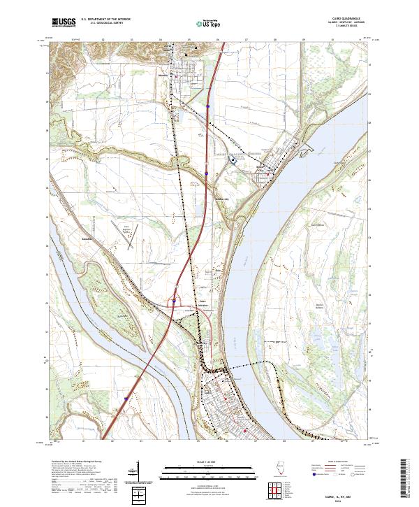 2024 Cairo2024 Print · USGSThe confluence of the Ohio and Mississippi Rivers in southern Illinois creates a landscape of deep historical and civic importance. Researchers can trace the layout of Cairo and Mound City, finding landmarks like the Mound City National Cemetery and Alexander County Courthouse.
End of results
Showing maps 1-20 of 20
Top cities of Pulaski County
- Mounds historical maps
- Ullin historical maps
- Mound City historical maps
- Karnak historical maps
- Olmsted historical maps
- Pulaski historical maps
See more
Frequently asked questions
- What are the different types of historical maps available for Pulaski County?
- What is the oldest map of Pulaski County?
- Where can I purchase historical maps of Pulaski County for my home or office?
- Where can I download high-res historical maps of Pulaski County?
- Are there historical topographic maps available for Pulaski County?
- Is there historical aerial imagery available for Pulaski County?
- Where are historical maps of Pulaski County sourced from?