Old Maps of Percy, Illinois for Metal Detecting
Plan your next treasure hunt with 17 historic maps of Percy. Find old homesites, ghost towns, trails, and gathering spots that may be lost to time — perfect for identifying promising metal detecting locations.
- Locate forgotten sites: Uncover places like long-lost settlements, abandoned rail lines, or gathering spots.
- Plan better hunts: Use map overlays combined with LiDAR or satellite views to narrow in on historically rich areas.
- Made for detectorists: Thousands of hobbyists use these maps to discover relics, coins, and hidden history.
Use these historic maps to boost your research and find new opportunities beneath the surface of Percy.
Percy, IL maps
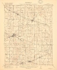
(17)- 1914 Map of Coulterville, 1965 Print
 1914 Coulterville1965 Print · USGSSouthern Illinois during the height of the steam era reveals a landscape of thriving rail hubs and rural school districts. Genealogists and local historians can trace the foundations of Sparta, Coulterville, and Steeleville alongside dozens of named country schools like Brick School and Temple School.
 - 1917 Map of Coulterville
 1917 Coulterville1917 Print · USGSSouthern Illinois during the early twentieth century was defined by its coal-belt junctions and a dense grid of rural schoolhouses. Genealogists and historians can trace family locations near landmarks like Lost Prairie School, the Illinois Central rail lines, and the growing town of Sparta.3 unique versions available
 - 1958 Map of Belleville, 1973 Print
 1958 Belleville1973 Print · USGSSouthern Illinois during the mid-twentieth century reveals a landscape of industrial growth and massive new reservoirs. Genealogists and historians can trace the paths of the Illinois Central RR through towns like Centralia or locate landmarks such as Emerald Mound and the Looking Glass Prairie.3 unique versions available
 - 1962 Map of Belleville
 1962 Belleville1962 Print · USGSSouthern Illinois in the late fifties reveals a landscape of industrial growth and ancient landmarks before the full expansion of the interstate system. Genealogists can trace family names and rural post offices near Centralia, Salem, and the historic Monks Mound.
 - 1965 Map of Percy, 1966 Print
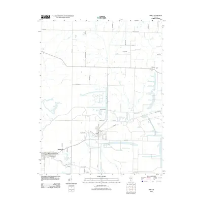
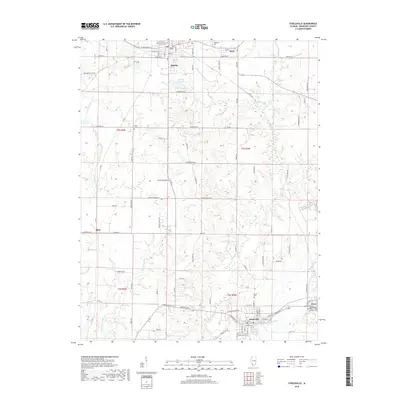
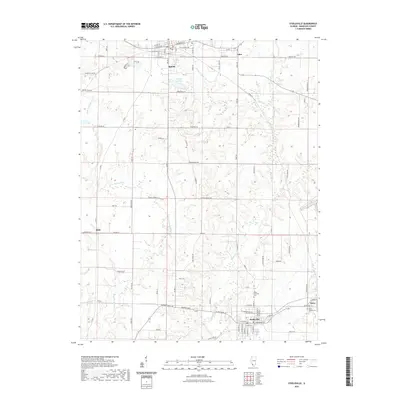
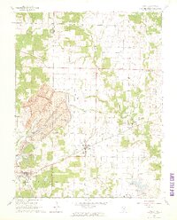 1965 Percy1966 Print · USGSRandolph and Perry Counties are shown in the mid-1960s, just as coal extraction was reshaping the Southern Illinois landscape. Genealogists and historians can trace the massive Strip Mine near Percy or locate family sites like Weitzel Cem and the Lost Prairie Sch.3 unique versions available
 - 1965 Map of Steeleville, 1966 Print
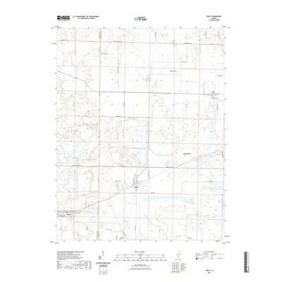
 1965 Steeleville1966 Print · USGSRandolph County's coal and rail corridors are frozen in time during the mid-sixties, from the streets of Sparta to the mills of Steeleville. Researchers can trace old family sites at Union Ch and Peace Cem or locate industrial landmarks like the local STRIP MINE.2 unique versions available
 - 1985 Map of Pinckneyville
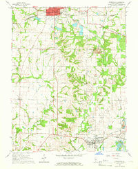
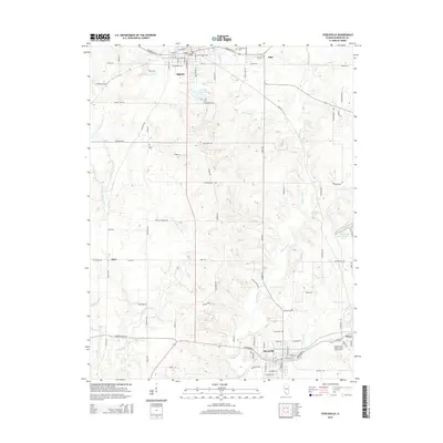
 1985 Pinckneyville1985 Print · USGSSouthern Illinois in the mid-eighties shows a landscape of prairie farms, coal extraction, and vital rail corridors. Researchers can trace the rail-side growth of Venedy Station and New Memphis Station or locate landmarks like St Libory Church and Memorial Gardens Cem.2 unique versions available
 - 2012 Map of Steeleville, 2012 Print
 2012 Steeleville2012 Print · USGSCovers Percy, including Sparta, Steeleville, and other nearby areas
 - 2012 Map of Percy, 2012 Print
 2012 Percy2012 Print · USGSCovers Percy, including Cutler, Jamestown, and other nearby areas
 - 2015 Map of Percy, 2015 Print
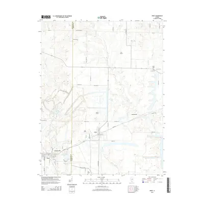 2015 Percy2015 Print · USGSCovers Percy, including Cutler, Jamestown, and other nearby areas
 - 2015 Map of Steeleville, 2015 Print
 2015 Steeleville2015 Print · USGSCovers Percy, including Sparta, Steeleville, and other nearby areas
 - 2018 Map of Percy, 2018 Print
 2018 Percy2018 Print · USGSCovers Percy, including Cutler, Jamestown, and other nearby areas
 - 2018 Map of Steeleville, 2018 Print
 2018 Steeleville2018 Print · USGSCovers Percy, including Sparta, Steeleville, and other nearby areas
 - 2021 Map of Steeleville, 2021 Print
 2021 Steeleville2021 Print · USGSCovers Percy, including Sparta, Steeleville, and other nearby areas
 - 2021 Map of Percy, 2021 Print
 2021 Percy2021 Print · USGSCovers Percy, including Cutler, Jamestown, and other nearby areas
 - 2024 Map of Percy, 2024 Print
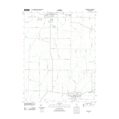
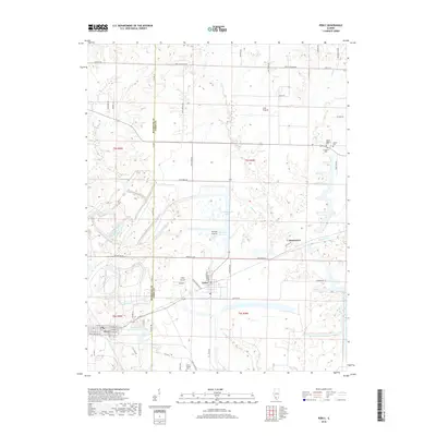
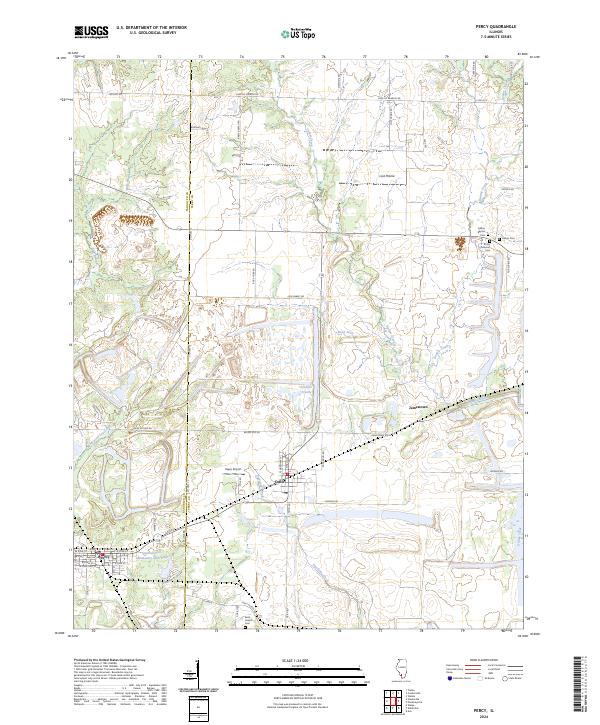 2024 Percy2024 Print · USGSThe Randolph and Perry County borderlands come alive in this recent survey of Cutler and Percy. Local historians can trace family roots at Galum Baptist Cem or locate rural landmarks like Hepp Airport and Jamestown.
 - 2024 Map of Steeleville, 2024 Print
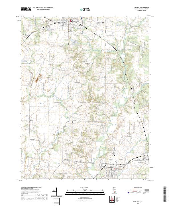 2024 Steeleville2024 Print · USGSRandolph County's river-carved landscape is documented here in the early twenty-first century, showing the enduring rural hubs of Steeleville and Sparta. Researchers can trace local lineage through the Peace Lutheran Cem and follow old routes like the Shawneetwon Trl.
End of results
Showing maps 1-17 of 17
Top cities near Percy
- Chester historical maps
- Pinckneyville historical maps
- Sparta historical maps
- Steeleville historical maps
- Marissa historical maps
- Coulterville historical maps
See more
Frequently asked questions
- What are the different types of historical maps available for Percy?
- What is the oldest map of Percy?
- Where can I purchase historical maps of Percy for my home or office?
- Where can I download high-res historical maps of Percy?
- Are there historical topographic maps available for Percy?
- Is there historical aerial imagery available for Percy?
- Where are historical maps of Percy sourced from?