Old Maps of Ruma, Illinois for Genealogy
Trace your family roots with 38 historic maps of Ruma. These high-res maps reveal old neighborhoods, homesites, landmarks, and streets — helping you uncover where your ancestors lived and how the area evolved over time.
- Explore historic neighborhoods: Identify where your relatives may have lived in the 1800s or 1900s.
- Compare maps over time: Trace the changes in streets, buildings, and landmarks for multi-generational research.
- Perfect for genealogy & ancestry research: Used by family historians and researchers to map out lineage and migration.
These maps are an incredible resource for exploring your personal connection to Ruma's past.
Ruma, IL maps
(38)- 1912 Map of Baldwin, 1967 Print
 1912 Baldwin1967 Print · USGSRandolph and St. Clair counties come alive in this early twentieth-century survey of the Kaskaskia River valley. Genealogists can trace family footprints across dozens of local school sites, including Charter Oak School, Stringtown School, and the rural community of Schuline.
 - 1914 Map of Baldwin
 1914 Baldwin1914 Print · USGSSouthern Illinois farm country and the meandering Kaskaskia River define this 1910s landscape. Genealogists can locate nearly thirty named schoolhouses, including Hiawassie School and Risdon School, alongside the early routes of the Illinois Southern railroad.2 unique versions available
 - 1915 Map of Renault
 1915 Renault1915 Print · USGSThe Illinois river bluffs and the American Bottom appear here in the early twentieth century as a landscape of thriving rail-side villages and rural schools. You can trace early family sites like Stuptown Church, the historic Ruma Convent, and landings at Prairie du Rocher.4 unique versions available
 - 1940 Map of Renault, 1955 Print
 1940 Renault1955 Print · USGSThe Illinois-Missouri borderlands come to life in the 1940s, highlighting the river-driven economy and rural community structure of the Mississippi valley. Genealogists can trace family footprints through dozens of local landmarks, from the Ruma Convent to historic schoolhouses like Yankeetown School and Foster School.2 unique versions available
 - 1942 Map of Baldwin, 1960 Print
 1942 Baldwin1960 Print · USGSMid-century southwestern Illinois reveals a landscape of river-bend settlements and extensive rail networks. Genealogists can locate many local landmarks like Jordan Grove School, the Mobile and Ohio rail line, and the village of Evansville along the Kaskaskia River.
 - 1949 Map of Saint Louis
 1949 Saint Louis1949 Print · USGSGreater St. Louis and its surrounding river valleys are captured here just after the war, showing the metropolitan core and the rural Ozark fringe. Researchers can trace the sprawling rail network of the Wabash RR or locate landmarks like Meramec Caverns Airport and Scott Air Force Base.2 unique versions available
 - 1958 Map of Belleville, 1973 Print
 1958 Belleville1973 Print · USGSSouthern Illinois during the mid-twentieth century reveals a landscape of industrial growth and massive new reservoirs. Genealogists and historians can trace the paths of the Illinois Central RR through towns like Centralia or locate landmarks such as Emerald Mound and the Looking Glass Prairie.3 unique versions available
 - 1962 Map of St. Louis
 1962 St. Louis1962 Print · USGSThe mid-century gateway to the west shows the metropolitan expansion of St Louis alongside its critical river confluences. Genealogists and historians can trace the rail corridors of the Missouri Pacific RR and settlements from Fulton to De Soto.
 - 1962 Map of Belleville
 1962 Belleville1962 Print · USGSSouthern Illinois in the late fifties reveals a landscape of industrial growth and ancient landmarks before the full expansion of the interstate system. Genealogists can trace family names and rural post offices near Centralia, Salem, and the historic Monks Mound.
 - 1963 Map of St. Louis, 1970 Print
 1963 St. Louis1970 Print · USGSSt. Louis and its surrounding river valleys are captured here during the peak of mid-century suburban expansion and industrial activity. Trace the historic rail routes of the Norfolk and Western Ry or locate the St Louis Ordnance Plant and early stretches of US Highway 66.4 unique versions available
 - 1966 Map of St. Louis
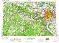 1966 St. Louis1966 Print · USGSThe St. Louis metropolitan area and its surrounding river valleys are captured here during the mid-sixties era of suburban growth and industrial strength. Genealogists and historians can trace the foundations of local communities through sites like Old Pioneer Cem, Parks College, and the Jefferson Barracks Military Reservation.
 - 1970 Map of Ames, 1972 Print
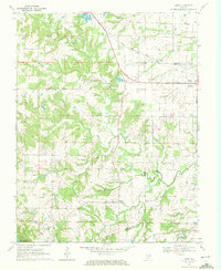 1970 Ames1972 Print · USGSMonroe and Randolph Counties are captured here in the early 1970s, showing a landscape of traditional farmsteads and rural parish life. Researchers can trace family history through sites like St Patrick Sch Cem, Nelson Cem, and the rail corridor of the Gulf Mobile and Ohio.
 - 1970 Map of Prairie Du Rocher, 1972 Print
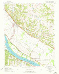 1970 Prairie Du Rocher1972 Print · USGSThe Mississippi River floodplain and limestone bluffs define the Randolph County borderlands around the 1970s. Genealogists and historians can trace rail-side settlements like Prairie du Rocher, the Modoc Rock Shelter National Historic Site, and riverfront sites at Mudds Landing.3 unique versions available
 - 1970 Map of Red Bud, 1972 Print
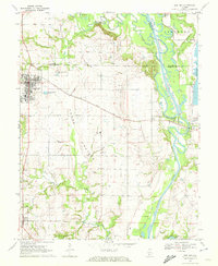 1970 Red Bud1972 Print · USGSRed Bud and the surrounding Horse Prairie are captured here at the start of the 1970s during a period of significant river engineering. Researchers can trace family sites like Brickley Cemetery or follow the Gulf Mobile and Ohio rail line past Trinity School.3 unique versions available
 - 1970 Map of Evansville, 1972 Print
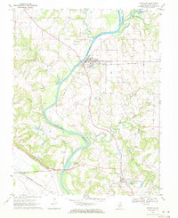 1970 Evansville1972 Print · USGSRandolph County's river valley comes alive in the early seventies as the Kaskaskia River winds past rural settlements and active rail lines. Researchers can trace family history through sites like St Johns Ch, Ellis Grove, and McCormick Cem.2 unique versions available
 - 1985 Map of Pinckneyville
 1985 Pinckneyville1985 Print · USGSSouthern Illinois in the mid-eighties shows a landscape of prairie farms, coal extraction, and vital rail corridors. Researchers can trace the rail-side growth of Venedy Station and New Memphis Station or locate landmarks like St Libory Church and Memorial Gardens Cem.2 unique versions available
 - 1985 Map of Festus, 1987 Print
 1985 Festus1987 Print · USGSThe Mississippi River corridor and Ozark foothills appear here in the mid-1980s, documenting a landscape of industrial river towns and forest preserves. Trace the development of Festus, Crystal City, and De Soto or locate sites like Mastodon State Park.
 - 1993 Map of Prairie Du Rocher, 1996 Print
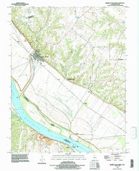 1993 Prairie Du Rocher1996 Print · USGSThe Illinois-Missouri river border in the early nineties shows a landscape of river-bottom farming and historic bluff-side settlements. Genealogists and researchers can locate family landmarks at Modoc, Thomure, and Little Rock Landing.
 - 2012 Map of Evansville, 2012 Print
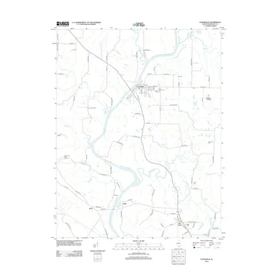 2012 Evansville2012 Print · USGSRandolph County's riverfront and rural settlements are captured here in the early twenty-first century as they border the Kaskaskia River. Family historians can pinpoint local landmarks like Saint Peters Cem, McCormick Cem, and the small community of Roots.
 - 2012 Map of Red Bud, 2012 Print
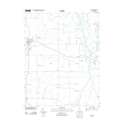 2012 Red Bud2012 Print · USGSRandolph County's agricultural heartland and the Kaskaskia River valley are documented here in the early twenty-first century. Genealogists and local historians can trace rural family roots through Saint John Cem, the small community of Ruma, and landmarks like the Voges Airstrip.
 - 2012 Map of Ames, 2012 Print
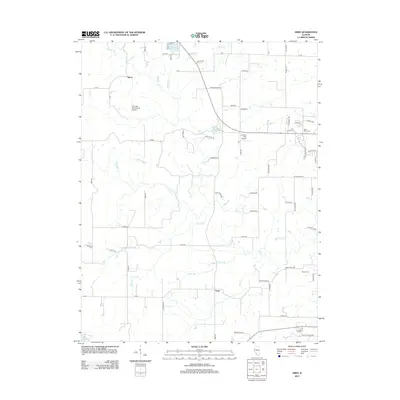 2012 Ames2012 Print · USGSThe rural expanses of Randolph County are captured here in the early twenty-first century, centered on the communities of Ames and Tipton. Genealogists and local historians can trace family roots at Saint Johns Cem or find aviation landmarks like Our Lady Immaculata Airport.
 - 2012 Map of Prairie du Rocher, 2012 Print
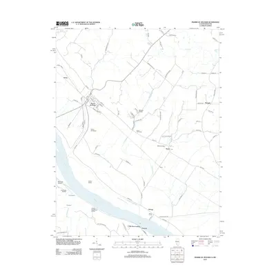 2012 Prairie du Rocher2012 Print · USGSThe Mississippi River bottoms and adjacent bluffs come into focus in 2012, showing the enduring layout of French colonial-era settlements. Researchers can trace river landings such as Mudds Landing, the ancient Modoc Rock Shelter, and the small community of Marigold.
 - 2015 Map of Ames, 2015 Print
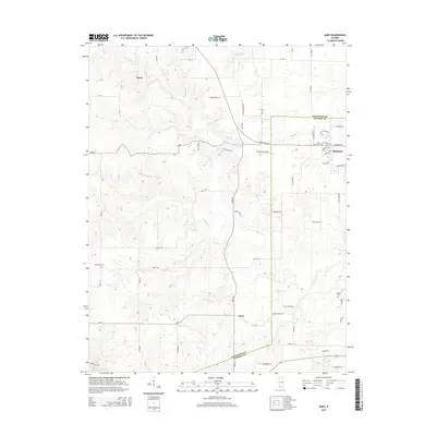 2015 Ames2015 Print · USGSThe rural borderlands of Randolph and Monroe Counties are captured here in the mid-2010s. Genealogists can locate several local burial sites like Saint Johns Cem and Nelson Cem, or trace the drainage of Horse Cr near Ames.
 - 2015 Map of Red Bud, 2015 Print
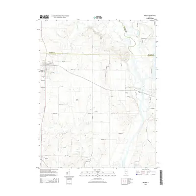 2015 Red Bud2015 Print · USGSThe Randolph and Monroe County border region comes into focus during the mid-2010s, centered on the growing town of Red Bud. Researchers can trace rural cemeteries like Brickey Cem and follow the path of the Kaskaskia River past the community of Grigg.
 - 2015 Map of Evansville, 2015 Print
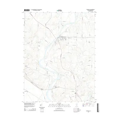 2015 Evansville2015 Print · USGSIn the river valley of Randolph County, this mid-2010s survey shows the winding Kaskaskia River corridor from Evansville to Ellis Grove. Genealogists and researchers can trace local family landmarks like Saint Boniface Cem, Stipe Cem, and the community at Roots.
Showing maps 1-25 of 38
Top cities near Ruma
- Waterloo historical maps
- Chester historical maps
- Sainte Genevieve historical maps
- Sparta historical maps
- Red Bud historical maps
- New Athens historical maps
See more
Frequently asked questions
- What are the different types of historical maps available for Ruma?
- What is the oldest map of Ruma?
- Where can I purchase historical maps of Ruma for my home or office?
- Where can I download high-res historical maps of Ruma?
- Are there historical topographic maps available for Ruma?
- Is there historical aerial imagery available for Ruma?
- Where are historical maps of Ruma sourced from?