Old Maps of Broadway Historic District, Rock Island for Academic Research
Study the evolution of Broadway Historic District with 24 high-resolution historic maps. Whether you're teaching, researching, or modeling changes in land use, these maps provide essential visual documentation of urban, environmental, and geographic change.
- Analyze long-term change: Track patterns in development, transportation, and natural features.
- Ideal for environmental or urban studies: Support academic projects with primary historical map data.
- Use in the classroom or lab: Educators and researchers rely on these maps to bring historical context to life.
These maps are a powerful tool for teaching, research, and visualizing how Broadway Historic District has changed over the decades.
Broadway Historic District, Rock Island maps
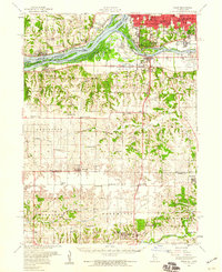
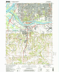
(24)- 1891 Map of Davenport
 1891 Davenport1891 Print · USGSCovers Broadway Historic District, including Davenport, Moline, and other nearby areas
 - 1894 Map of Davenport
 1894 Davenport1894 Print · USGSCovers Broadway Historic District, including Davenport, Moline, and other nearby areas4 unique versions available
 - 1901 Map of Rock Island
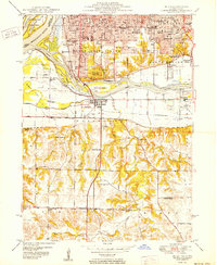
 1901 Rock Island1901 Print · USGSCovers Broadway Historic District, including Davenport, Moline, and other nearby areas2 unique versions available
 - 1910 Map of Rock Island, 1949 Print
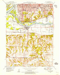
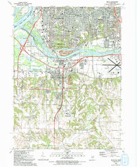
 1910 Rock Island1949 Print · USGSCovers Broadway Historic District, including Davenport, Moline, and other nearby areas
 - 1912 Map of Milan
 1912 Milan1912 Print · USGSCovers Broadway Historic District, including Davenport, Moline, and other nearby areas7 unique versions available
 - 1944 Map of Milan, 1958 Print
 1944 Milan1958 Print · USGSCovers Broadway Historic District, including Davenport, Moline, and other nearby areas
 - 1948 Map of Milan, 1955 Print
 1948 Milan1955 Print · USGSCovers Broadway Historic District, including Davenport, Moline, and other nearby areas
 - 1949 Map of Davenport
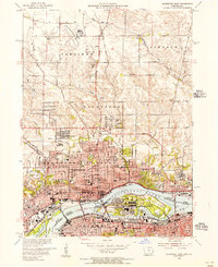
 1949 Davenport1949 Print · USGSCovers Broadway Historic District, including Davenport, Moline, and other nearby areas
 - 1950 Map of Milan
 1950 Milan1950 Print · USGSCovers Broadway Historic District, including Davenport, Moline, and other nearby areas2 unique versions available
 - 1953 Map of Davenport East, 1956 Print
 1953 Davenport East1956 Print · USGSCovers Broadway Historic District, including Davenport, Moline, and other nearby areas3 unique versions available
 - 1953 Map of Milan, 1956 Print
 1953 Milan1956 Print · USGSCovers Broadway Historic District, including Davenport, Moline, and other nearby areas3 unique versions available
 - 1953 Map of Milan, 1959 Print
 1953 Milan1959 Print · USGSCovers Broadway Historic District, including Davenport, Moline, and other nearby areas
 - 1958 Map of Davenport, 1968 Print
 1958 Davenport1968 Print · USGSCovers Broadway Historic District, including Cedar Rapids, Davenport, and other nearby areas2 unique versions available
 - 1961 Map of Davenport
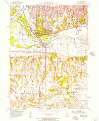
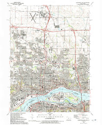
 1961 Davenport1961 Print · USGSCovers Broadway Historic District, including Cedar Rapids, Davenport, and other nearby areas
 - 1962 Map of Davenport
 1962 Davenport1962 Print · USGSCovers Broadway Historic District, including Cedar Rapids, Davenport, and other nearby areas
 - 1984 Map of Davenport, 1985 Print
 1984 Davenport1985 Print · USGSCovers Broadway Historic District, including Davenport, Moline, and other nearby areas2 unique versions available
 - 1984 Map of Aledo, 1985 Print
 1984 Aledo1985 Print · USGSCovers Broadway Historic District, including Davenport, Moline, and other nearby areas
 - 1989 Map of Aledo
 1989 Aledo1989 Print · USGSCovers Broadway Historic District, including Davenport, Moline, and other nearby areas
 - 1991 Map of Davenport East, 1992 Print
 1991 Davenport East1992 Print · USGSCovers Broadway Historic District, including Davenport, Moline, and other nearby areas
 - 1992 Map of Milan
 1992 Milan1992 Print · USGSCovers Broadway Historic District, including Davenport, Moline, and other nearby areas
 - 1993 Map of Davenport East, 1999 Print
 1993 Davenport East1999 Print · USGSCovers Broadway Historic District, including Davenport, Moline, and other nearby areas
 - 2000 Map of Milan, 2001 Print
 2000 Milan2001 Print · USGSCovers Broadway Historic District, including Davenport, Moline, and other nearby areas
 - 2022 Map of Davenport East, 2022 Print
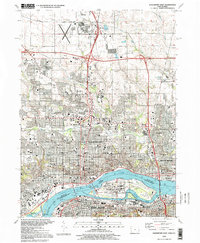
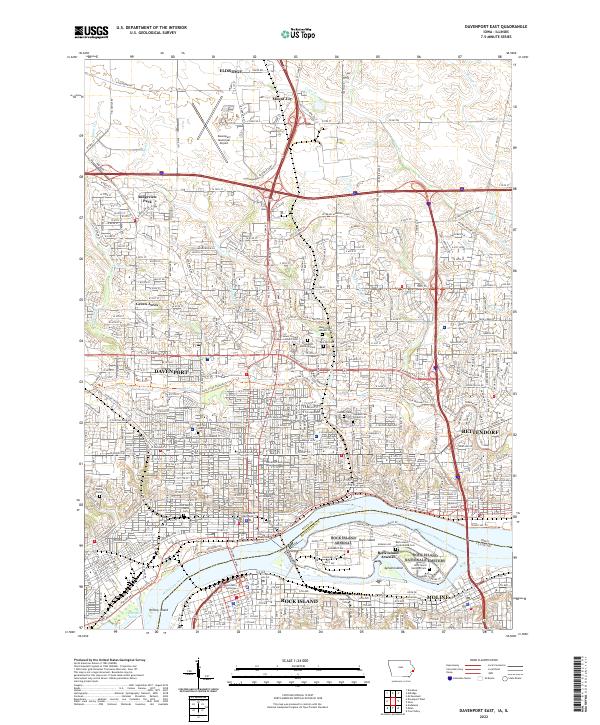 2022 Davenport East2022 Print · USGSCovers Broadway Historic District, including Davenport, Moline, and other nearby areas
 - 2024 Map of Milan, 2024 Print
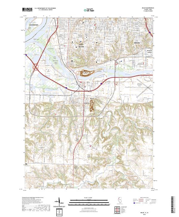 2024 Milan2024 Print · USGSCovers Broadway Historic District, including Davenport, Moline, and other nearby areas
End of results
Showing maps 1-24 of 24
Frequently asked questions
- What are the different types of historical maps available for Broadway Historic District?
- What is the oldest map of Broadway Historic District?
- Where can I purchase historical maps of Broadway Historic District for my home or office?
- Where can I download high-res historical maps of Broadway Historic District?
- Are there historical topographic maps available for Broadway Historic District?
- Is there historical aerial imagery available for Broadway Historic District?
- Where are historical maps of Broadway Historic District sourced from?