Old Maps of Broadway Historic District, Rock Island for Metal Detecting
Plan your next treasure hunt with 24 historic maps of Broadway Historic District. Find old homesites, ghost towns, trails, and gathering spots that may be lost to time — perfect for identifying promising metal detecting locations.
- Locate forgotten sites: Uncover places like long-lost settlements, abandoned rail lines, or gathering spots.
- Plan better hunts: Use map overlays combined with LiDAR or satellite views to narrow in on historically rich areas.
- Made for detectorists: Thousands of hobbyists use these maps to discover relics, coins, and hidden history.
Use these historic maps to boost your research and find new opportunities beneath the surface of Broadway Historic District.
Broadway Historic District, Rock Island maps
(24)- 1891 Map of Davenport
 1891 Davenport1891 Print · USGSCovers Broadway Historic District, including Davenport, Moline, and other nearby areas
 - 1894 Map of Davenport
 1894 Davenport1894 Print · USGSCovers Broadway Historic District, including Davenport, Moline, and other nearby areas4 unique versions available
 - 1901 Map of Rock Island
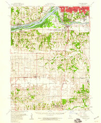
 1901 Rock Island1901 Print · USGSCovers Broadway Historic District, including Davenport, Moline, and other nearby areas2 unique versions available
 - 1910 Map of Rock Island, 1949 Print
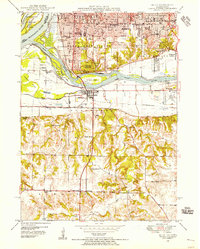
 1910 Rock Island1949 Print · USGSCovers Broadway Historic District, including Davenport, Moline, and other nearby areas
 - 1912 Map of Milan
 1912 Milan1912 Print · USGSCovers Broadway Historic District, including Davenport, Moline, and other nearby areas7 unique versions available
 - 1944 Map of Milan, 1958 Print
 1944 Milan1958 Print · USGSCovers Broadway Historic District, including Davenport, Moline, and other nearby areas
 - 1948 Map of Milan, 1955 Print
 1948 Milan1955 Print · USGSCovers Broadway Historic District, including Davenport, Moline, and other nearby areas
 - 1949 Map of Davenport
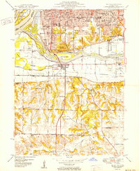
 1949 Davenport1949 Print · USGSCovers Broadway Historic District, including Davenport, Moline, and other nearby areas
 - 1950 Map of Milan
 1950 Milan1950 Print · USGSCovers Broadway Historic District, including Davenport, Moline, and other nearby areas2 unique versions available
 - 1953 Map of Davenport East, 1956 Print
 1953 Davenport East1956 Print · USGSCovers Broadway Historic District, including Davenport, Moline, and other nearby areas3 unique versions available
 - 1953 Map of Milan, 1956 Print
 1953 Milan1956 Print · USGSCovers Broadway Historic District, including Davenport, Moline, and other nearby areas3 unique versions available
 - 1953 Map of Milan, 1959 Print
 1953 Milan1959 Print · USGSCovers Broadway Historic District, including Davenport, Moline, and other nearby areas
 - 1958 Map of Davenport, 1968 Print
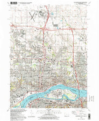
 1958 Davenport1968 Print · USGSCovers Broadway Historic District, including Cedar Rapids, Davenport, and other nearby areas2 unique versions available
 - 1961 Map of Davenport
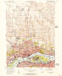
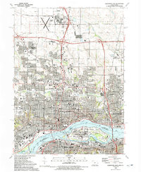
 1961 Davenport1961 Print · USGSCovers Broadway Historic District, including Cedar Rapids, Davenport, and other nearby areas
 - 1962 Map of Davenport
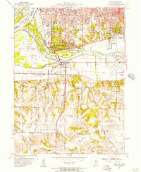
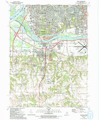
 1962 Davenport1962 Print · USGSCovers Broadway Historic District, including Cedar Rapids, Davenport, and other nearby areas
 - 1984 Map of Davenport, 1985 Print
 1984 Davenport1985 Print · USGSCovers Broadway Historic District, including Davenport, Moline, and other nearby areas2 unique versions available
 - 1984 Map of Aledo, 1985 Print
 1984 Aledo1985 Print · USGSCovers Broadway Historic District, including Davenport, Moline, and other nearby areas
 - 1989 Map of Aledo
 1989 Aledo1989 Print · USGSCovers Broadway Historic District, including Davenport, Moline, and other nearby areas
 - 1991 Map of Davenport East, 1992 Print
 1991 Davenport East1992 Print · USGSCovers Broadway Historic District, including Davenport, Moline, and other nearby areas
 - 1992 Map of Milan
 1992 Milan1992 Print · USGSCovers Broadway Historic District, including Davenport, Moline, and other nearby areas
 - 1993 Map of Davenport East, 1999 Print
 1993 Davenport East1999 Print · USGSCovers Broadway Historic District, including Davenport, Moline, and other nearby areas
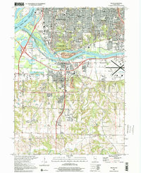
 - 2000 Map of Milan, 2001 Print
 2000 Milan2001 Print · USGSCovers Broadway Historic District, including Davenport, Moline, and other nearby areas
 - 2022 Map of Davenport East, 2022 Print
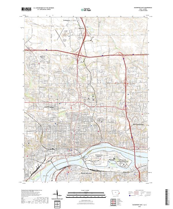 2022 Davenport East2022 Print · USGSCovers Broadway Historic District, including Davenport, Moline, and other nearby areas
 - 2024 Map of Milan, 2024 Print
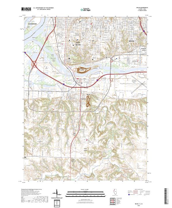 2024 Milan2024 Print · USGSCovers Broadway Historic District, including Davenport, Moline, and other nearby areas
End of results
Showing maps 1-24 of 24
Frequently asked questions
- What are the different types of historical maps available for Broadway Historic District?
- What is the oldest map of Broadway Historic District?
- Where can I purchase historical maps of Broadway Historic District for my home or office?
- Where can I download high-res historical maps of Broadway Historic District?
- Are there historical topographic maps available for Broadway Historic District?
- Is there historical aerial imagery available for Broadway Historic District?
- Where are historical maps of Broadway Historic District sourced from?