Old Maps of Fayetteville, Illinois for Metal Detecting
Plan your next treasure hunt with 19 historic maps of Fayetteville. Find old homesites, ghost towns, trails, and gathering spots that may be lost to time — perfect for identifying promising metal detecting locations.
- Locate forgotten sites: Uncover places like long-lost settlements, abandoned rail lines, or gathering spots.
- Plan better hunts: Use map overlays combined with LiDAR or satellite views to narrow in on historically rich areas.
- Made for detectorists: Thousands of hobbyists use these maps to discover relics, coins, and hidden history.
Use these historic maps to boost your research and find new opportunities beneath the surface of Fayetteville.
Fayetteville, IL maps
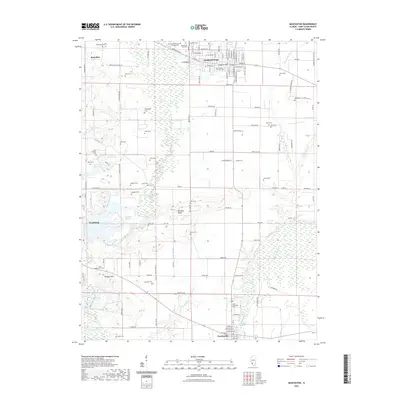
(19)- 1912 Map of New Athens
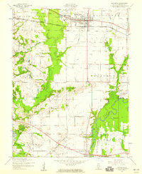
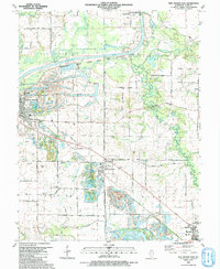
 1912 New Athens1912 Print · USGSThe St. Clair County prairies in the early nineteen-hundreds were a bustling corridor of river commerce and rail expansion. Genealogists and historians can locate vanished landmarks like Lementon, dozens of country schools, and the Kaskaskia River oxbows.2 unique versions available
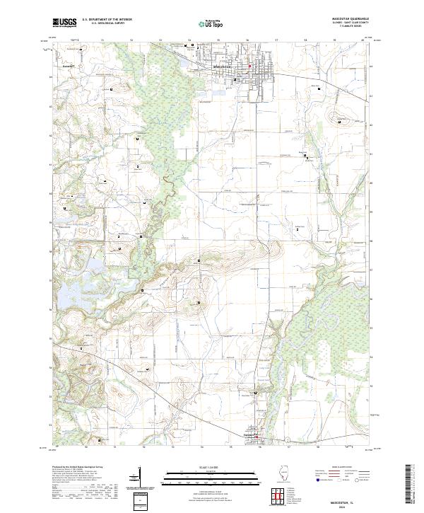
 - 1954 Map of Mascoutah, 1959 Print
 1954 Mascoutah1959 Print · USGSSt. Clair County in the 1950s shows a transition from rural crossroads to growing rail towns. Genealogists can trace family names at Schneblin Cem and Knobeloch Cem, or locate long-closed schools like Jefferson Sch.4 unique versions available
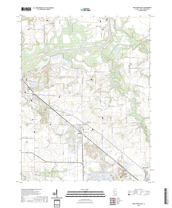
 - 1954 Map of New Athens East, 1959 Print
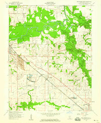 1954 New Athens East1959 Print · USGSSt. Clair County in the mid-1950s reveals a landscape where the river economy meets the emerging industrial footprint of strip mining and oil. Genealogists can locate family landmarks like St Agatha Cem and Dutch Hill Cem, or trace the railroad through Lenzburg.4 unique versions available
 - 1954 Map of New Athens, 1960 Print
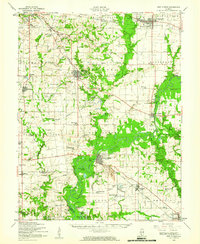 1954 New Athens1960 Print · USGSSt. Clair County in the mid-fifties is captured here along the bends of the Kaskaskia River and its tributary rail lines. Genealogists can trace family names at Sturm Cem, Oak Ridge Cem, and rural schoolhouses like Five Points Sch.
 - 1958 Map of Belleville, 1973 Print
 1958 Belleville1973 Print · USGSSouthern Illinois during the mid-twentieth century reveals a landscape of industrial growth and massive new reservoirs. Genealogists and historians can trace the paths of the Illinois Central RR through towns like Centralia or locate landmarks such as Emerald Mound and the Looking Glass Prairie.3 unique versions available
 - 1962 Map of Belleville
 1962 Belleville1962 Print · USGSSouthern Illinois in the late fifties reveals a landscape of industrial growth and ancient landmarks before the full expansion of the interstate system. Genealogists can trace family names and rural post offices near Centralia, Salem, and the historic Monks Mound.
 - 1985 Map of Pinckneyville
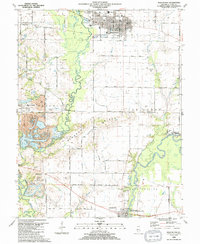
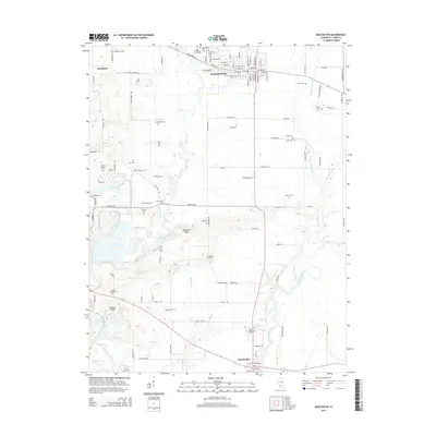
 1985 Pinckneyville1985 Print · USGSSouthern Illinois in the mid-eighties shows a landscape of prairie farms, coal extraction, and vital rail corridors. Researchers can trace the rail-side growth of Venedy Station and New Memphis Station or locate landmarks like St Libory Church and Memorial Gardens Cem.2 unique versions available
 - 1990 Map of Mascoutah, 1991 Print
 1990 Mascoutah1991 Print · USGSSt. Clair County at the start of the nineties reveals a landscape of established coal mining and deep-rooted family farms. Genealogists can locate numerous small burial plots like John Mueller Cem and trace the industrial footprint of the River King Mine No 1.
 - 1991 Map of New Athens East
 1991 New Athens East1991 Print · USGSSt. Clair County's river-fed plains appear in the early nineties, centered on the Kaskaskia River valley. Genealogists can trace family names through sites like Zion Ch Cem, St Peters Cem, and the small settlement of Darmstadt.
 - 2012 Map of New Athens East, 2012 Print
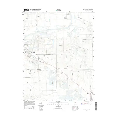
 2012 New Athens East2012 Print · USGSCovers Fayetteville, including New Athens, Marissa, and other nearby areas
 - 2012 Map of Mascoutah, 2012 Print
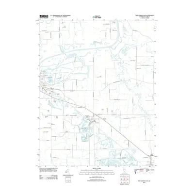
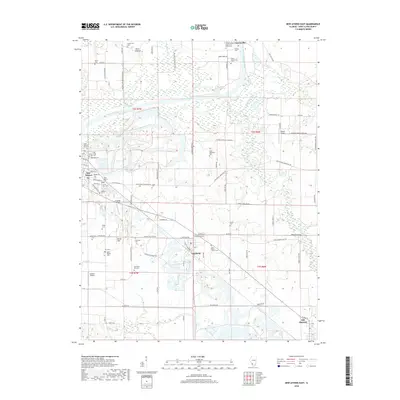
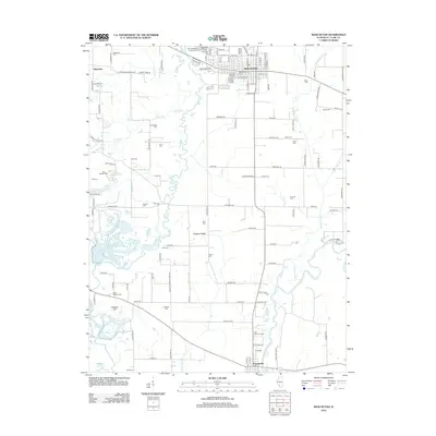 2012 Mascoutah2012 Print · USGSCovers Fayetteville, including Mascoutah, Freeburg, and other nearby areas
 - 2015 Map of Mascoutah, 2015 Print
 2015 Mascoutah2015 Print · USGSCovers Fayetteville, including Mascoutah, Freeburg, and other nearby areas
 - 2015 Map of New Athens East, 2015 Print
 2015 New Athens East2015 Print · USGSCovers Fayetteville, including New Athens, Marissa, and other nearby areas
 - 2018 Map of New Athens East, 2018 Print
 2018 New Athens East2018 Print · USGSCovers Fayetteville, including New Athens, Marissa, and other nearby areas
 - 2018 Map of Mascoutah, 2018 Print
 2018 Mascoutah2018 Print · USGSCovers Fayetteville, including Mascoutah, Freeburg, and other nearby areas
 - 2021 Map of New Athens East, 2021 Print
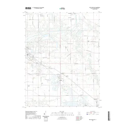 2021 New Athens East2021 Print · USGSCovers Fayetteville, including New Athens, Marissa, and other nearby areas
 - 2021 Map of Mascoutah, 2021 Print
 2021 Mascoutah2021 Print · USGSCovers Fayetteville, including Mascoutah, Freeburg, and other nearby areas
 - 2024 Map of New Athens East, 2024 Print
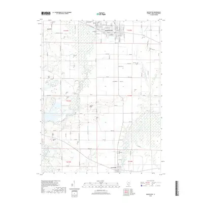
 2024 New Athens East2024 Print · USGSSt. Clair County in the modern era maintains its deep connection to the Kaskaskia River and its early settlements. Genealogists and historians can locate numerous small burial sites like Saint Agatha Cem and Pulliam Cem or trace the distinct layouts of New Athens and Lenzburg.
 - 2024 Map of Mascoutah, 2024 Print
 2024 Mascoutah2024 Print · USGSMascoutah and Fayetteville are captured in this modern survey of the St. Clair County countryside. Trace ancestral roots at Mascoutah City Cem, follow the Southern Ry, or explore the banks of Silver Creek and the Kaskaskia River.
End of results
Showing maps 1-19 of 19
Top cities near Fayetteville
- Belleville historical maps
- O'Fallon historical maps
- Fairview Heights historical maps
- Swansea historical maps
- Shiloh historical maps
- Mascoutah historical maps
See more
Frequently asked questions
- What are the different types of historical maps available for Fayetteville?
- What is the oldest map of Fayetteville?
- Where can I purchase historical maps of Fayetteville for my home or office?
- Where can I download high-res historical maps of Fayetteville?
- Are there historical topographic maps available for Fayetteville?
- Is there historical aerial imagery available for Fayetteville?
- Where are historical maps of Fayetteville sourced from?