2000s (21st Century) Maps of Freeburg, Illinois
Explore 10 historic maps of Freeburg from the 2000s (21st Century). These maps offer a rare glimpse into what life looked like during the 2000s — showing old roads, neighborhoods, homes, and landmarks that have changed or disappeared over time.
Whether you're researching your family's past, planning a metal detecting trip, or studying how Freeburg's landscape evolved across the 2000s, these high-resolution maps are a powerful tool for exploring the history of this region.
- Focus on a specific era: All maps on this page are from the 2000s, giving you a focused view of this time period.
- See what’s changed: Compare century-old streets, trails, and buildings to today's modern landscape using overlays and satellite layers.
- Research with precision: Use these maps for genealogy, historical research, land use analysis, or educational projects.
- View, download, or print: Maps are fully viewable online in high resolution, and can be downloaded or printed for your own records.
Start exploring Freeburg's history through authentic maps from the 2000s. This is your window into the past.
Freeburg, IL maps
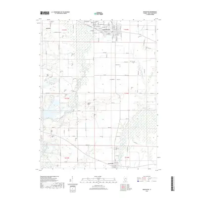
(10)- 2012 Map of Freeburg, 2012 Print
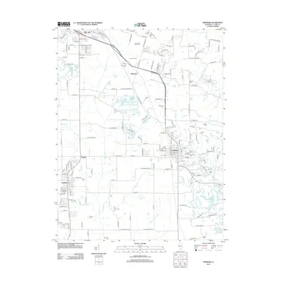 2012 Freeburg2012 Print · USGSCovers Freeburg, including Belleville, Smithton, and other nearby areas
 - 2012 Map of Mascoutah, 2012 Print
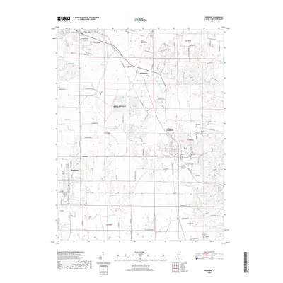
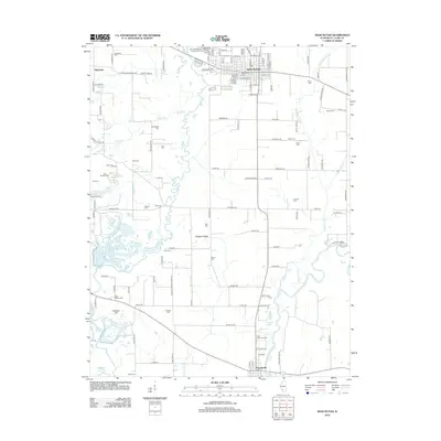 2012 Mascoutah2012 Print · USGSCovers Freeburg, including Mascoutah, Fayetteville, and other nearby areas
 - 2015 Map of Mascoutah, 2015 Print
 2015 Mascoutah2015 Print · USGSCovers Freeburg, including Mascoutah, Fayetteville, and other nearby areas
 - 2015 Map of Freeburg, 2015 Print
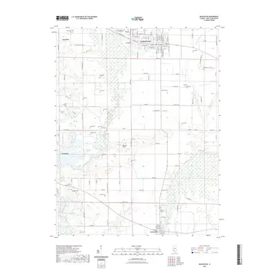
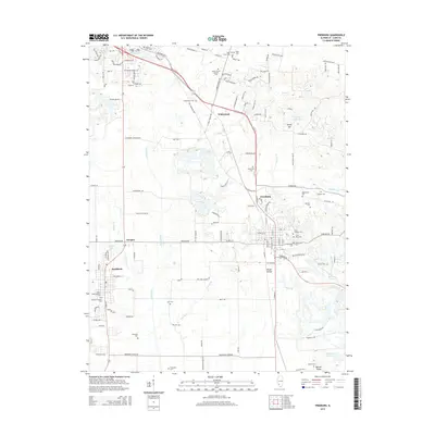 2015 Freeburg2015 Print · USGSCovers Freeburg, including Belleville, Smithton, and other nearby areas
 - 2018 Map of Mascoutah, 2018 Print
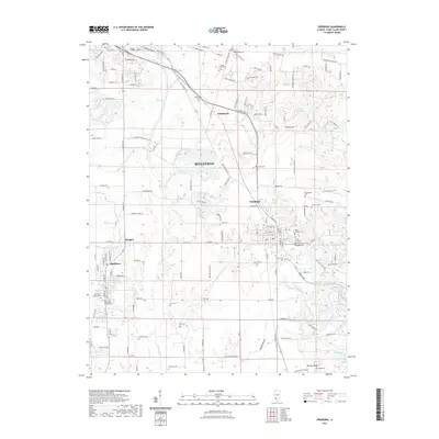
 2018 Mascoutah2018 Print · USGSCovers Freeburg, including Mascoutah, Fayetteville, and other nearby areas
 - 2018 Map of Freeburg, 2018 Print
 2018 Freeburg2018 Print · USGSCovers Freeburg, including Belleville, Smithton, and other nearby areas
 - 2021 Map of Mascoutah, 2021 Print
 2021 Mascoutah2021 Print · USGSCovers Freeburg, including Mascoutah, Fayetteville, and other nearby areas
 - 2021 Map of Freeburg, 2021 Print
 2021 Freeburg2021 Print · USGSCovers Freeburg, including Belleville, Smithton, and other nearby areas
 - 2024 Map of Freeburg, 2024 Print
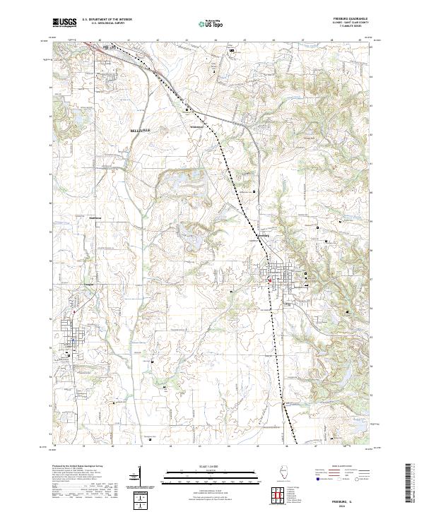 2024 Freeburg2024 Print · USGSSt. Clair County's rural and suburban landscape is captured in this recent survey, showcasing the enduring settlements between Freeburg and Belleville. Genealogists can trace decades of local history through dozens of named cemeteries, from Rittenhouse Cem to B'Nai Israel Cem.
 - 2024 Map of Mascoutah, 2024 Print
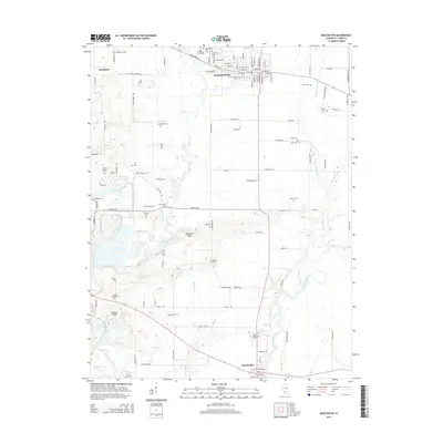
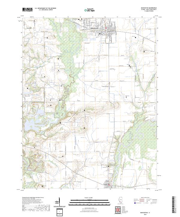 2024 Mascoutah2024 Print · USGSMascoutah and Fayetteville are captured in this modern survey of the St. Clair County countryside. Trace ancestral roots at Mascoutah City Cem, follow the Southern Ry, or explore the banks of Silver Creek and the Kaskaskia River.
End of results
Showing maps 1-10 of 10
Top cities near Freeburg
- Belleville historical maps
- O'Fallon historical maps
- Collinsville historical maps
- East St. Louis historical maps
- Fairview Heights historical maps
- Swansea historical maps
See more
Frequently asked questions
- What are the different types of historical maps available for Freeburg?
- What is the oldest map of Freeburg?
- Where can I purchase historical maps of Freeburg for my home or office?
- Where can I download high-res historical maps of Freeburg?
- Are there historical topographic maps available for Freeburg?
- Is there historical aerial imagery available for Freeburg?
- Where are historical maps of Freeburg sourced from?