Old Maps of Strasburg, Illinois for Academic Research
Study the evolution of Strasburg with 19 high-resolution historic maps. Whether you're teaching, researching, or modeling changes in land use, these maps provide essential visual documentation of urban, environmental, and geographic change.
- Analyze long-term change: Track patterns in development, transportation, and natural features.
- Ideal for environmental or urban studies: Support academic projects with primary historical map data.
- Use in the classroom or lab: Educators and researchers rely on these maps to bring historical context to life.
These maps are a powerful tool for teaching, research, and visualizing how Strasburg has changed over the decades.
Strasburg, IL maps
(19)- 1947 Map of Stewardson, 1965 Print
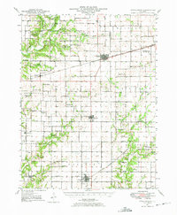 1947 Stewardson1965 Print · USGSMid-century Shelby County is mapped here as a thriving agricultural landscape defined by its rural schools and rail junctions. Genealogists can locate family landmarks like Rincker Cem and East Salem School, or trace the rail lines through Stewardson.
 - 1949 Map of Stewardson
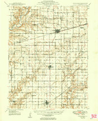 1949 Stewardson1949 Print · USGSShelby and Moultrie counties thrive as a vital rail and farming hub at the close of the 1940s. Researchers can locate dozens of country landmarks like Jordan Chapel, Rincker Cem, and North Liberty Sch along the region's busy rail lines.2 unique versions available
 - 1958 Map of Decatur, 1971 Print
 1958 Decatur1971 Print · USGSCentral Illinois in the mid-twentieth century shows a landscape defined by industrial rail hubs and the creation of large reservoirs. Researchers can trace historic corridors like the Penn Central or locate landmarks such as Lincoln Log Cabin State Park and Lake Springfield.3 unique versions available
 - 1961 Map of Decatur
 1961 Decatur1961 Print · USGSCentral Illinois in the late fifties was a bustling corridor of rail lines and prairie commerce centered on the state capital. Genealogists and historians can trace the intricate connections between Springfield, Decatur, and dozens of smaller settlements like Nokomis and Arcola.2 unique versions available
 - 1981 Map of Stewardson East, 1982 Print
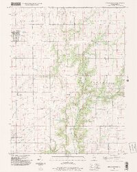
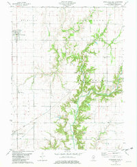 1981 Stewardson East1982 Print · USGSThe Shelby County prairie in the early eighties is defined by the rail lines and river bends between Strasburg and Stewardson. Trace family history through Rincker Cem, Gaskill Chapel, and the rural crossroads of Trowbridge.
 - 1981 Map of Stewardson West, 1982 Print
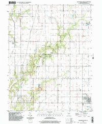
 1981 Stewardson West1982 Print · USGSShelby County's rural townships and conservation lands are captured here during the early eighties. Genealogists and local historians can trace the foundations of Stewardson and Mode or locate ancestral sites like Wesley Chapel and Rockford Cem.
 - 1986 Map of Effingham
 1986 Effingham1986 Print · USGSCentral Illinois during the mid-eighties was a hub of rail travel and water recreation centered on the new reservoirs. Genealogists and historians can trace the rural landscape between Mattoon and Effingham, locating landmarks like St Paul Ch and Eagle Creek State Park.2 unique versions available
 - 1998 Map of Stewardson East, 2003 Print
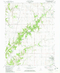
 1998 Stewardson East2003 Print · USGSShelby County farmland and the river bottoms come into focus at the end of the century. You can trace generations of local history through family-named landmarks like Swedish Cem, Gaskill Chapel, and the settlement of Trowbridge.
 - 1998 Map of Stewardson West, 2003 Print
 1998 Stewardson West2003 Print · USGSShelby County at the close of the twentieth century shows a landscape of deep timber and quiet prairie townships. Genealogists and historians can trace family ties at St Pauls Cem or Union Cem, and follow the Old Railroad Grade past Herborn.
 - 2012 Map of Stewardson East, 2012 Print
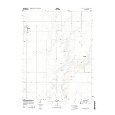
 2012 Stewardson East2012 Print · USGSCovers Strasburg, including Stewardson, Kingman, and other nearby areas
 - 2012 Map of Stewardson West, 2012 Print
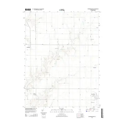
 2012 Stewardson West2012 Print · USGSCovers Strasburg, including Stewardson, Clarksburg, and other nearby areas
 - 2015 Map of Stewardson East, 2015 Print
 2015 Stewardson East2015 Print · USGSCovers Strasburg, including Stewardson, Kingman, and other nearby areas
 - 2015 Map of Stewardson West, 2015 Print
 2015 Stewardson West2015 Print · USGSCovers Strasburg, including Stewardson, Clarksburg, and other nearby areas
 - 2018 Map of Stewardson West, 2018 Print
 2018 Stewardson West2018 Print · USGSCovers Strasburg, including Stewardson, Clarksburg, and other nearby areas
 - 2018 Map of Stewardson East, 2018 Print
 2018 Stewardson East2018 Print · USGSCovers Strasburg, including Stewardson, Kingman, and other nearby areas
 - 2021 Map of Stewardson East, 2021 Print
 2021 Stewardson East2021 Print · USGSCovers Strasburg, including Stewardson, Kingman, and other nearby areas
 - 2021 Map of Stewardson West, 2021 Print
 2021 Stewardson West2021 Print · USGSCovers Strasburg, including Stewardson, Clarksburg, and other nearby areas
 - 2024 Map of Stewardson West, 2024 Print
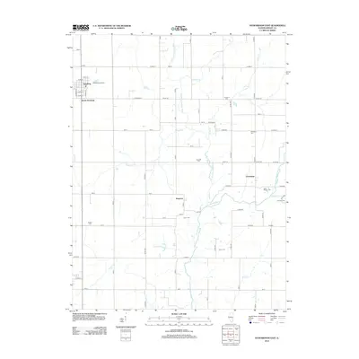
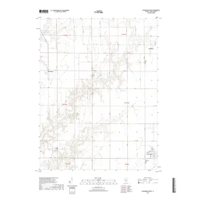
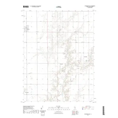
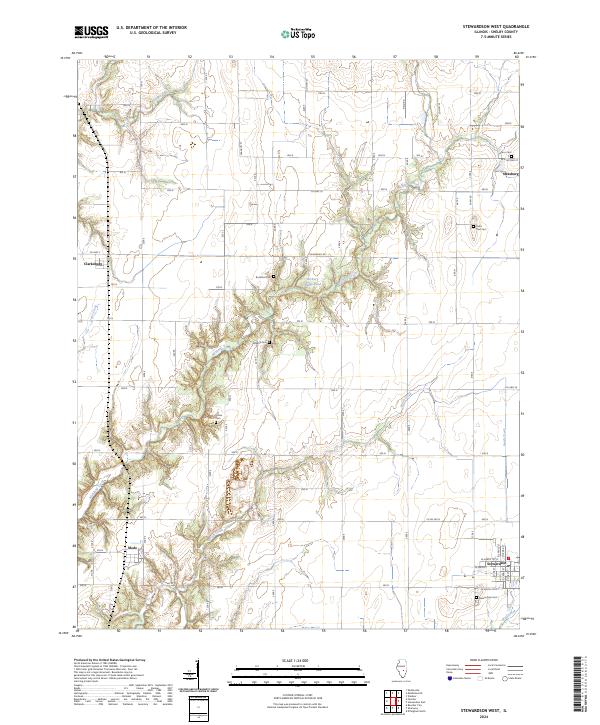 2024 Stewardson West2024 Print · USGSShelby County’s rural character is preserved here in the early twenty-first century, showing the enduring layout of prairie farmsteads and small towns. Researchers can trace family sites at Grace Cem or Saint Paul Cem and follow the paths of Richland Creek through Mode and Stewardson.
 - 2024 Map of Stewardson East, 2024 Print
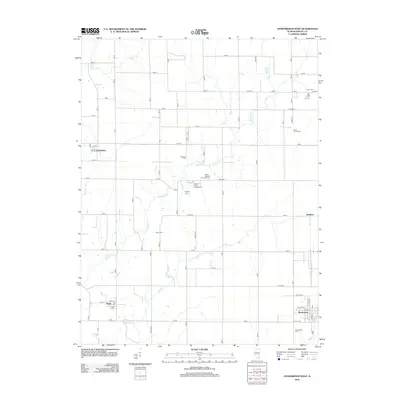
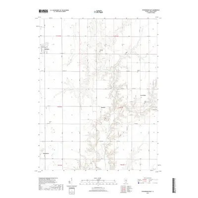
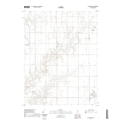
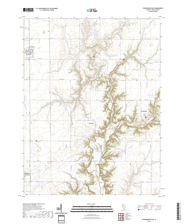 2024 Stewardson East2024 Print · USGSShelby County's agricultural heartland is documented here in the early twenty-first century, showing the enduring rural layout around Strasburg and Stewardson. Researchers can locate numerous family burial sites such as Rincker Cem and Span Cem along the West Branch Little Wabash River.
End of results
Showing maps 1-19 of 19
Top cities near Strasburg
- Mattoon historical maps
- Effingham historical maps
- Shelbyville historical maps
- Sullivan historical maps
- Neoga historical maps
- Teutopolis historical maps
See more
Frequently asked questions
- What are the different types of historical maps available for Strasburg?
- What is the oldest map of Strasburg?
- Where can I purchase historical maps of Strasburg for my home or office?
- Where can I download high-res historical maps of Strasburg?
- Are there historical topographic maps available for Strasburg?
- Is there historical aerial imagery available for Strasburg?
- Where are historical maps of Strasburg sourced from?