Old Maps of Cedarville, Illinois for Hiking & Exploration
Hike through history with 20 historic maps of Cedarville. Explore old trails, ghost towns, and forgotten backroads — perfect for outdoor adventurers and local explorers.
- Rediscover forgotten places: Map out old mining camps, roads, and footpaths that no longer exist on modern maps.
- Layer with modern tools: Combine with LiDAR or satellite views to plan hikes through historical terrain.
- Made for exploration: Popular among hikers, overlanders, and local history lovers.
Use these maps to find adventure and explore the hidden past of Cedarville.
Cedarville, IL maps
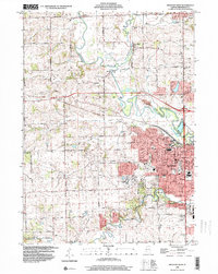
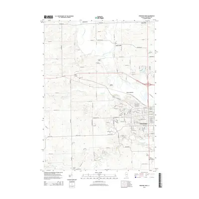
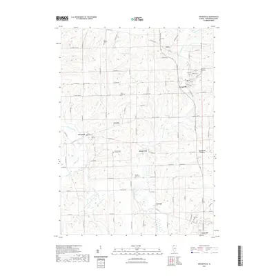
(20)- 1939 Map of Freeport
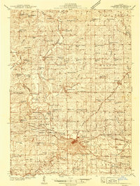 1939 Freeport1939 Print · USGSStephenson County in the late thirties is a landscape of thriving rail junctions and rural school districts. Genealogists can trace family roots through dozens of local landmarks like St James Cem, Browns Mill, and small hubs like Orangeville or Pearl City.2 unique versions available
 - 1944 Map of Freeport
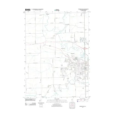
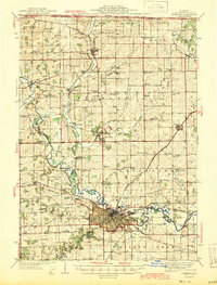 1944 Freeport1944 Print · USGSThe Stephenson County seat and its outlying townships are shown in the 1940s at the peak of their rail-and-river connectivity. Researchers can trace rural school districts like Champion Hill Sch or locate ancestors at Oakland Cem and St James Cem.
 - 1954 Map of Rockford
 1954 Rockford1954 Print · USGSThe Rock River valley and the Illinois-Wisconsin borderlands are captured here in the mid-1950s during a period of robust industrial and agricultural activity. Genealogists and historians can trace rail-era corridors like the Illinois Central RR and locate landmarks from Big Foot Prairie to Lake Geneva.
 - 1955 Map of Rockford
 1955 Rockford1955 Print · USGSThe Rock River valley and southern Wisconsin dairy country are shown here in the mid-fifties as the region's manufacturing centers grew. Genealogists and historians can trace the paths of the Chicago and North Western RR and Illinois Central RR through hubs like Rockford and Beloit.
 - 1958 Map of Rockford, 1974 Print
 1958 Rockford1974 Print · USGSNorthern Illinois and southern Wisconsin are shown here in the mid-twentieth century as rail-dependent industrial towns began to interface with growing lakefront communities. Genealogists can trace family roots through settlements like Saylesville and Tess Corners or locate historical landmarks like the Rockford Ordnance Depot.4 unique versions available
 - 1963 Map of Rockford
 1963 Rockford1963 Print · USGSThe mid-century industrial corridor along the Rock River is shown here during a period of rapid post-war growth. Researchers can trace the extensive rail lines of the Chicago and North Western or locate local landmarks like the Rockford Ordnance Depot and Holy Hill.
 - 1971 Map of Orangeville, 1974 Print
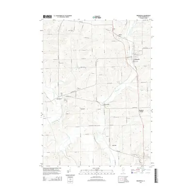
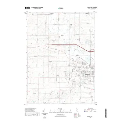
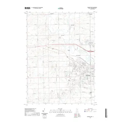
 1971 Orangeville1974 Print · USGSNorthwest Illinois sits at the edge of the Wisconsin border in the early seventies, where the Pecatonica River meets a network of rail-side villages. Researchers can locate many family landmarks including Silent Hill Cemetery, Richland Salem Church, and the winding Illinois Central Gulf Railroad.
 - 1971 Map of Freeport West, 1974 Print
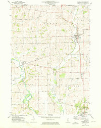
 1971 Freeport West1974 Print · USGSFreeport's western expansion meets the rolling farmland of Stephenson County in the early seventies, as the Pecatonica River winds through Harlem township. Researchers can trace historic family burial sites at Hart Cem and Grandview Cem or locate the original campus layout of Highland Community College.2 unique versions available
 - 1981 Map of Rockford
 1981 Rockford1981 Print · USGSNorthern Illinois during the early eighties shows a landscape shaped by river valleys and a maturing rail network. Genealogists can trace family roots through settlements like Morseville and Buckhorn Corners while exploring the Rock River valley.2 unique versions available
 - 1998 Map of Freeport West, 2000 Print
 1998 Freeport West2000 Print · USGSStephenson County at the turn of the millennium shows the growth of Freeport alongside established rural hamlets. Researchers can trace family sites at Martin Cem, find early schools like Empire Sch, or follow the Pecatonica River past Scioto Mills.
 - 2012 Map of Orangeville, 2012 Print
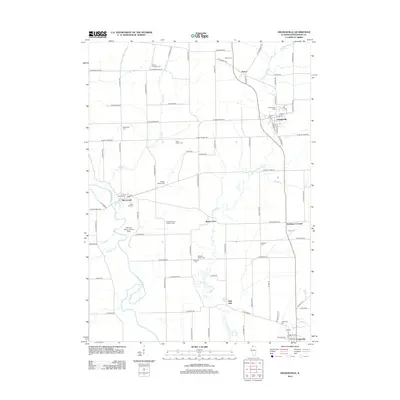 2012 Orangeville2012 Print · USGSCovers Cedarville, including Oneco, Orangeville, and other nearby areas
 - 2012 Map of Freeport West, 2012 Print
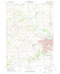
 2012 Freeport West2012 Print · USGSCovers Cedarville, including Freeport, Scioto Mills, and other nearby areas
 - 2015 Map of Orangeville, 2015 Print
 2015 Orangeville2015 Print · USGSCovers Cedarville, including Oneco, Orangeville, and other nearby areas
 - 2015 Map of Freeport West, 2015 Print
 2015 Freeport West2015 Print · USGSCovers Cedarville, including Freeport, Scioto Mills, and other nearby areas
 - 2018 Map of Freeport West, 2018 Print
 2018 Freeport West2018 Print · USGSCovers Cedarville, including Freeport, Scioto Mills, and other nearby areas
 - 2018 Map of Orangeville, 2018 Print
 2018 Orangeville2018 Print · USGSCovers Cedarville, including Oneco, Orangeville, and other nearby areas
 - 2021 Map of Freeport West, 2021 Print
 2021 Freeport West2021 Print · USGSCovers Cedarville, including Freeport, Scioto Mills, and other nearby areas
 - 2021 Map of Orangeville, 2021 Print
 2021 Orangeville2021 Print · USGSCovers Cedarville, including Oneco, Orangeville, and other nearby areas
 - 2024 Map of Freeport West, 2024 Print
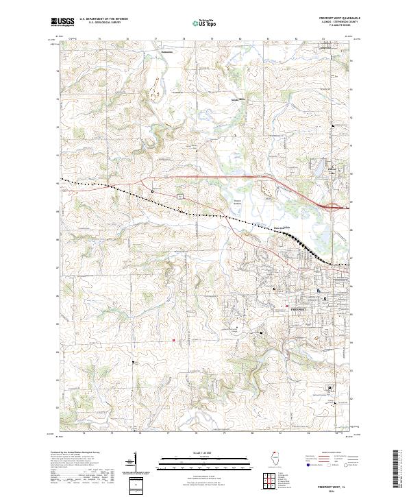 2024 Freeport West2024 Print · USGSThe western edge of Stephenson County comes into focus in this recent survey of the lands around the Pecatonica River. Genealogists can trace family heritage across numerous named burial grounds like Harlem Center Cem, Oakland Cem, and Grandview Cem.
 - 2024 Map of Orangeville, 2024 Print
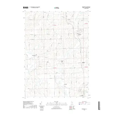
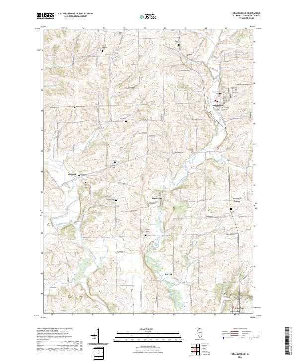 2024 Orangeville2024 Print · USGSNorthern Illinois farm country and the meandering Pecatonica River define this Stephenson County landscape. Genealogists can trace family roots through numerous sites like Richland Salem Lutheran Cem and Silent Hill Cem near McConnell.
End of results
Showing maps 1-20 of 20
Top cities near Cedarville
- Freeport historical maps
- Monroe historical maps
- Lena historical maps
- Rock Grove historical maps
- Oneco historical maps
- Florence historical maps
See more
Frequently asked questions
- What are the different types of historical maps available for Cedarville?
- What is the oldest map of Cedarville?
- Where can I purchase historical maps of Cedarville for my home or office?
- Where can I download high-res historical maps of Cedarville?
- Are there historical topographic maps available for Cedarville?
- Is there historical aerial imagery available for Cedarville?
- Where are historical maps of Cedarville sourced from?