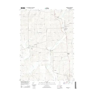
2015 Map of Orangeville
USGS Topo · Published 2015About this map
Orangeville and McConnell serve as the primary hubs of this Stephenson County landscape, where the Pecatonica River and its tributaries carve through the farmland. The map documents a dense distribution of rural burial sites, such as the Richland Salem Lutheran Cem and Mount Pleasant Cem, reflecting the early pioneer settlement patterns of the region. The modern Jane Addams Trl follows a north-south corridor through Orangeville, repurposing a former transportation route for contemporary use.
Find a feature on this map
78 named features on this map. Tap any name to fly to it.
Don’t see what you’re looking for? This feature index may not catch every label — zoom into the map to look around manually.
Map Details
Editions of this 2015 Orangeville Map
This is the sole edition of this map. No revisions or reprints were ever made.
Other maps of this area
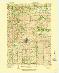
1920 · Monroe
USGS Topo · 1:62,500
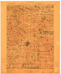
1922 · Monroe
USGS Topo · 1:62,500
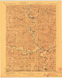
1923 · South Wayne
USGS Topo · 1:62,500
1937 · Lena
USGS Topo · 1:48,000
1939 · Freeport
USGS Topo · 1:48,000
1942 · Lena
USGS Topo · 1:62,500
1943 · Lena
USGS Topo · 1:62,500
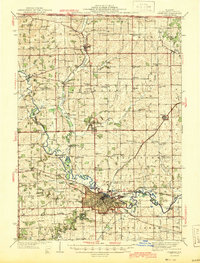
1944 · Freeport
USGS Topo · 1:62,500
1954 · Rockford
USGS Topo · 1:250,000
1955 · Rockford
USGS Topo · 1:250,000