2020s Maps of Union County, Illinois
Explore 25 historic maps of Union County from the 2020s. These maps offer a rare glimpse into what life looked like during the 2020s — showing old roads, neighborhoods, homes, and landmarks that have changed or disappeared over time.
Whether you're researching your family's past, planning a metal detecting trip, or studying how Union County's landscape evolved across the 2020s, these high-resolution maps are a powerful tool for exploring the history of this region.
- Focus on a specific era: All maps on this page are from the 2020s, giving you a focused view of this time period.
- See what’s changed: Compare century-old streets, trails, and buildings to today's modern landscape using overlays and satellite layers.
- Research with precision: Use these maps for genealogy, historical research, land use analysis, or educational projects.
- View, download, or print: Maps are fully viewable online in high resolution, and can be downloaded or printed for your own records.
Start exploring Union County's history through authentic maps from the 2020s. This is your window into the past.
Union County, IL maps
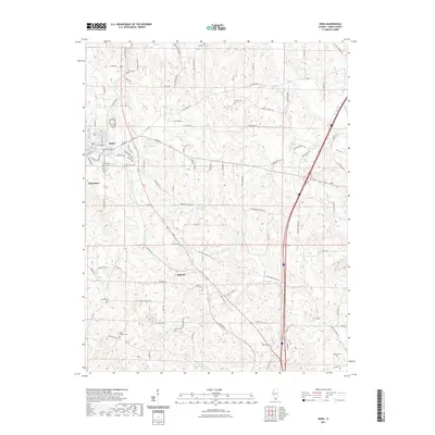
(25)- 2021 Map of Mill Creek, 2021 Print
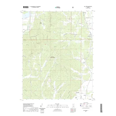 2021 Mill Creek2021 Print · USGSCovers Union County, including Tamms, Mill Creek, and other nearby areas
 - 2021 Map of Makanda, 2021 Print
 2021 Makanda2021 Print · USGSCovers Union County, including Cobden, Makanda, and other nearby areas
 - 2021 Map of Ware, 2021 Print
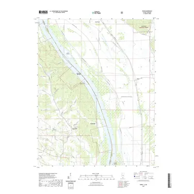 2021 Ware2021 Print · USGSCovers Union County, including Ware, Moccasin Springs, and other nearby areas
 - 2021 Map of Jonesboro, 2021 Print
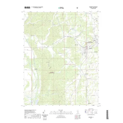 2021 Jonesboro2021 Print · USGSCovers Union County, including Anna, Jonesboro, and other nearby areas
 - 2021 Map of Anna, 2021 Print
 2021 Anna2021 Print · USGSCovers Union County, including Anna, Jonesboro, and other nearby areas
 - 2021 Map of Cobden, 2021 Print
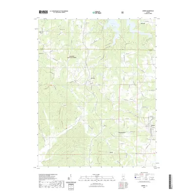 2021 Cobden2021 Print · USGSCovers Union County, including Cobden, Makanda, and other nearby areas
 - 2021 Map of Mount Pleasant, 2021 Print
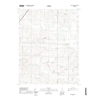 2021 Mount Pleasant2021 Print · USGSCovers Union County, including Mount Pleasant, Elvira, and other nearby areas
 - 2021 Map of Lick Creek, 2021 Print
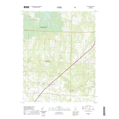 2021 Lick Creek2021 Print · USGSCovers Union County, including Lick Creek, The Hall, and other nearby areas
 - 2021 Map of Dongola, 2021 Print
 2021 Dongola2021 Print · USGSCovers Union County, including Dongola, Ullin, and other nearby areas
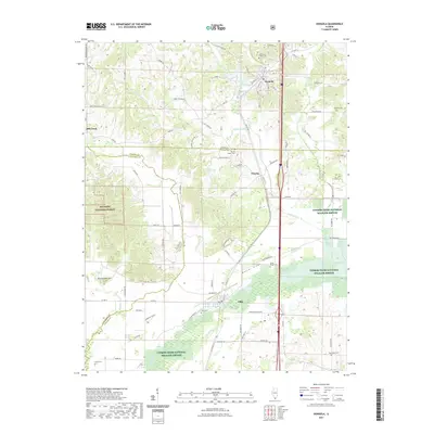
 - 2021 Map of Cypress, 2021 Print
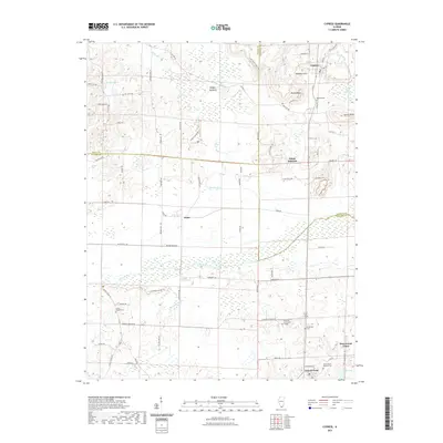 2021 Cypress2021 Print · USGSCovers Union County, including Cypress, New Grand Chain, and other nearby areas
 - 2021 Map of Wolf Lake, 2021 Print
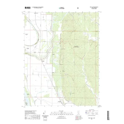 2021 Wolf Lake2021 Print · USGSCovers Union County, including Grand Tower, Wolf Lake, and other nearby areas
 - 2021 Map of McClure, 2021 Print
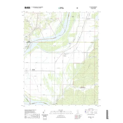 2021 McClure2021 Print · USGSCovers Union County, including Cape Girardeau, McClure, and other nearby areas
 - 2021 Map of Neelys Landing, 2021 Print
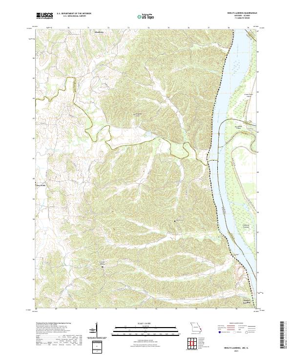 2021 Neelys Landing2021 Print · USGSThe Mississippi River border between Missouri and Illinois remains a land of river islands and rural bluffs in the early twenty-first century. Researchers can trace family roots at New Bethel Baptist Church Cem and the riverfront at Neelys Landing.
 - 2024 Map of Cypress, 2024 Print
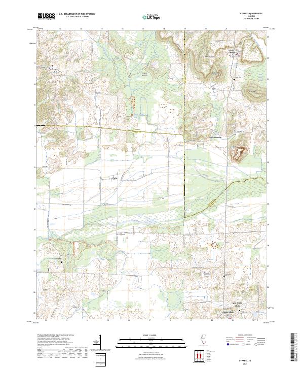 2024 Cypress2024 Print · USGSSouthern Illinois at the crossroads of Union, Johnson, and Pulaski counties reveals a rich network of bottomlands and settlements. Researchers can trace local history through the Grand Chain area, Shawnee Community College, and the sprawling Cypress Creek National Wildlife Refuge.
 - 2024 Map of Lick Creek, 2024 Print
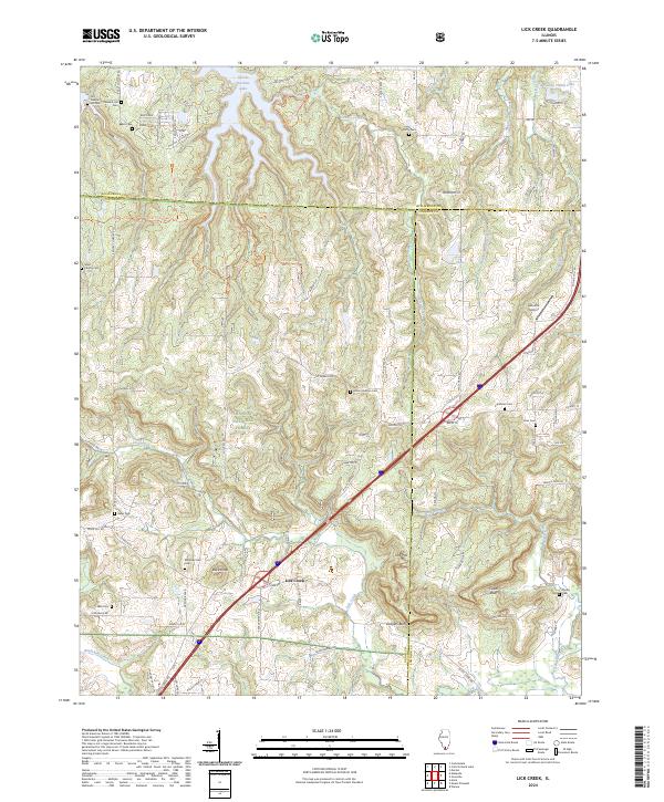 2024 Lick Creek2024 Print · USGSSouthern Illinois at the junction of three counties remains a landscape of deep woods and family history in this recent survey. Genealogists can locate several remote burial sites such as Mount Hebron Cem and Keller Cem, or trace the winding River-To-River Trl through Panther Den.
 - 2024 Map of Dongola, 2024 Print
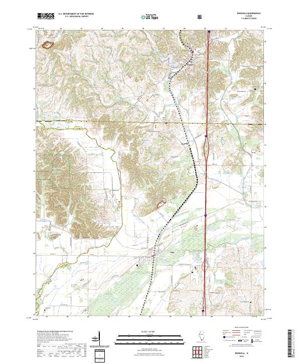 2024 Dongola2024 Print · USGSSouthern Illinois bottomlands and ridges come alive in this recent survey of the Cache River corridor. Trace local family history through American Legion Cem and Ullin Cem, or follow the Canadian National rail line through Dongola and Wetaug.
 - 2024 Map of Anna, 2024 Print
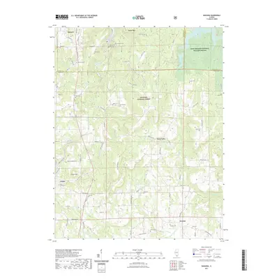
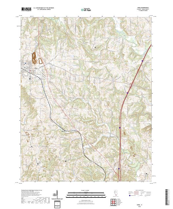 2024 Anna2024 Print · USGSSouthern Illinois hill country comes into focus in this recent survey of Union County. Genealogists and local historians can trace the rural landscape surrounding Anna and Balcom, locating family burial sites at Kimmel Cem and Hinkle Cem.
 - 2024 Map of McClure, 2024 Print
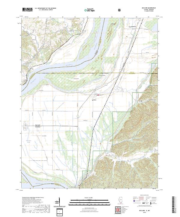 2024 McClure2024 Print · USGSSouthern Illinois river life is captured here along the Mississippi corridor in the modern day. Researchers can locate family landmarks and rural communities such as Hobbs Chapel Cem, the settlement of McClure, and the wooded terrain of Dongola Hollow.
 - 2024 Map of Wolf Lake, 2024 Print
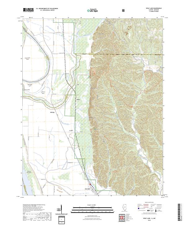 2024 Wolf Lake2024 Print · USGSSouthern Illinois river bottoms and forest highlands meet in this modern survey of the Big Muddy River corridor. Researchers can trace the layout of Aldridge and Wolf Lake or explore the trails of the Clear Springs Wilderness and Lead Mine Trl.
 - 2024 Map of Mount Pleasant, 2024 Print
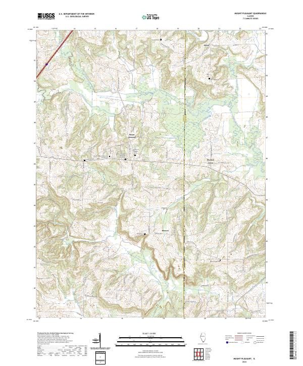 2024 Mount Pleasant2024 Print · USGSThe crossroads of Union and Johnson counties are captured here in the contemporary era, showing a landscape defined by the Cache River and deep-rooted rural communities. Trace local family history through numerous landmarks like Mount Zion Cem and the Mount Pleasant Mennonite Church.
 - 2024 Map of Ware, 2024 Print
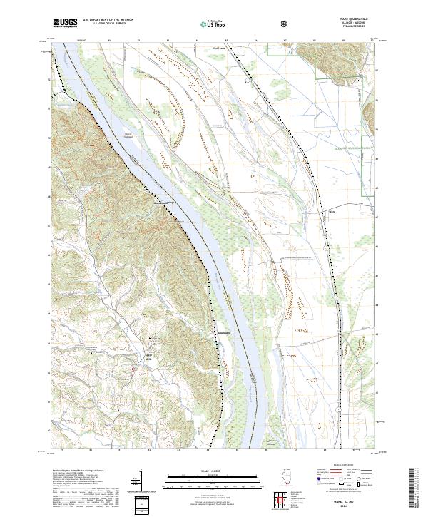 2024 Ware2024 Print · USGSThe Illinois-Missouri borderlands along the Mississippi River come to life in this contemporary survey of Union County. Researchers can trace ancestral sites at Egypt Mills and find family landmarks like Keyser Cem and Trinity Lutheran Church-Cem.
 - 2024 Map of Jonesboro, 2024 Print
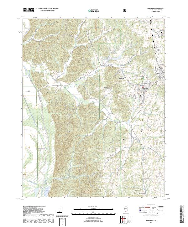 2024 Jonesboro2024 Print · USGSJonesboro and Anna anchor this modern survey of the Shawnee National Forest during the mid-2020s. Genealogists can trace family heritage across the landscape through locations like Casper Church Cem, Kimmel Cem, and Dutch Mills.
 - 2024 Map of Cobden, 2024 Print
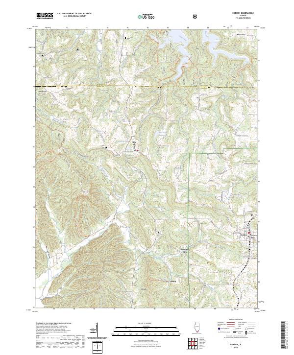 2024 Cobden2024 Print · USGSThe Shawnee Hills of southern Illinois appear in high detail during the early 2020s, centered on the high orchards and ridges of Union County. Researchers can trace remote family burial grounds like Stearns Cem or locate old landmarks such as Iron Mtn and Kaolin.
 - 2024 Map of Makanda, 2024 Print
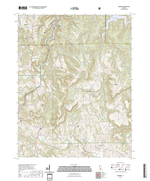 2024 Makanda2024 Print · USGSSouthern Illinois at the edge of the Shawnee National Forest comes to life in this detailed survey of the Jackson and Union county border. Researchers can trace family history through sites like Makanda Cem or explore the rugged terrain near Tiptop Knob and Little Grassy Lake.
 - 2024 Map of Mill Creek, 2024 Print
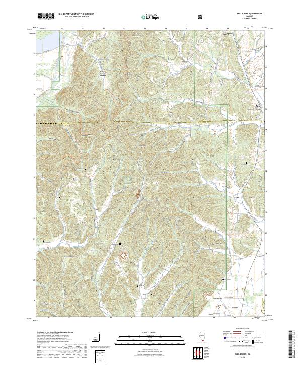 2024 Mill Creek2024 Print · USGSThe borderlands of Union and Alexander counties are shown here in modern detail, where the Shawnee National Forest meets early settlements. Researchers can trace numerous local burial sites like McCrite Cem and Honey Cem, or locate the Cauble School and Valley Mission.
End of results
Showing maps 1-25 of 25
Top cities of Union County
- Anna historical maps
- Jonesboro historical maps
- Cobden historical maps
- Dongola historical maps
- Alto Pass historical maps
- Mill Creek historical maps
Frequently asked questions
- What are the different types of historical maps available for Union County?
- What is the oldest map of Union County?
- Where can I purchase historical maps of Union County for my home or office?
- Where can I download high-res historical maps of Union County?
- Are there historical topographic maps available for Union County?
- Is there historical aerial imagery available for Union County?
- Where are historical maps of Union County sourced from?