2010s Maps of Union County, Illinois
Explore 39 historic maps of Union County from the 2010s. These maps offer a rare glimpse into what life looked like during the 2010s — showing old roads, neighborhoods, homes, and landmarks that have changed or disappeared over time.
Whether you're researching your family's past, planning a metal detecting trip, or studying how Union County's landscape evolved across the 2010s, these high-resolution maps are a powerful tool for exploring the history of this region.
- Focus on a specific era: All maps on this page are from the 2010s, giving you a focused view of this time period.
- See what’s changed: Compare century-old streets, trails, and buildings to today's modern landscape using overlays and satellite layers.
- Research with precision: Use these maps for genealogy, historical research, land use analysis, or educational projects.
- View, download, or print: Maps are fully viewable online in high resolution, and can be downloaded or printed for your own records.
Start exploring Union County's history through authentic maps from the 2010s. This is your window into the past.
Union County, IL maps
(39)- 2012 Map of Neelys Landing, 2012 Print
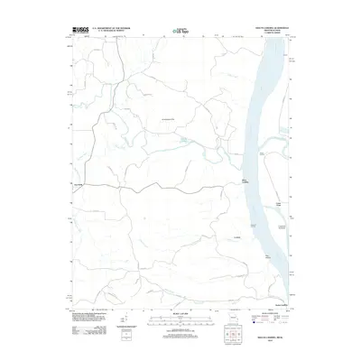 2012 Neelys Landing2012 Print · USGSThe Mississippi River borderlands come alive in this early twenty-first-century survey of the river's Missouri and Illinois banks. Researchers can trace the heritage of river commerce through sites like Neelys Landing, Hines Landing, and the inland community of New Wells.
 - 2012 Map of Anna, 2012 Print
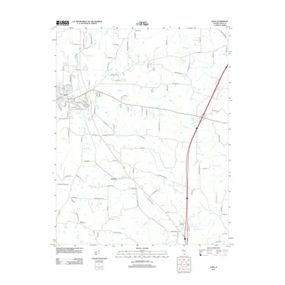 2012 Anna2012 Print · USGSUnion County, Illinois, at the start of the twenty-first century reveals a landscape where the community of Anna meets the winding Cache River bottoms. Researchers can trace family history through numerous rural landmarks like Karakar Cem, Union Cem, and the small settlement of Balcom.
 - 2012 Map of Jonesboro, 2012 Print
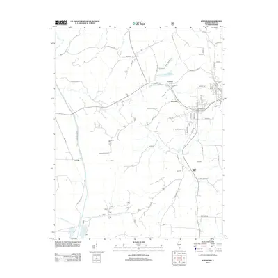 2012 Jonesboro2012 Print · USGSThe southern Illinois landscape near Jonesboro comes into focus in the early 2010s, showing a mix of national forest land and agricultural river bottoms. Researchers can trace rural lineages through the Kimmel Cem and Grieb Cem or locate old sites like Hamburg Hill and the Atwood Lookout Tower.
 - 2012 Map of Dongola, 2012 Print
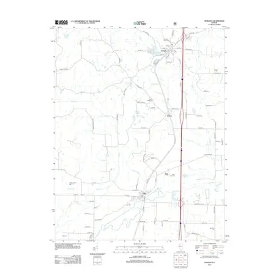 2012 Dongola2012 Print · USGSSouthern Illinois during the early 2010s shows a landscape of river-basin settlements and rural crossroads between the Cache River and Dongola. Genealogists can trace family connections at American Legion Cem, New Hope Cem, or the hilltop Mount Pisgah Cem.
 - 2012 Map of Cobden, 2012 Print
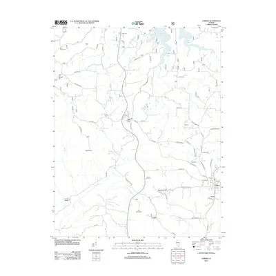 2012 Cobden2012 Print · USGSThe Shawnee Hills of southern Illinois are captured here in the early twenty-first century, showing the enduring rural layout of Union County. Researchers can locate local landmarks like Alto Pass, Bald Knob, and the village of Kaolin near the Mount Tabor Cem.
 - 2012 Map of Mill Creek, 2012 Print
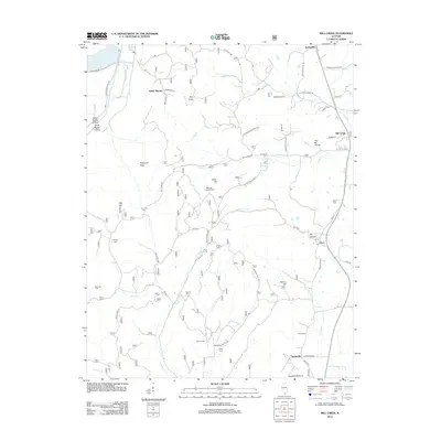 2012 Mill Creek2012 Print · USGSSouthern Illinois at the start of the decade reveals a landscape of small hamlets and rugged hollows between the Mississippi floodplain and the interior hills. Genealogists can trace family burial sites at Honey Cem or Palmer Cem and explore named locales like Elco and You-Be Hollow.
 - 2012 Map of Cypress, 2012 Print
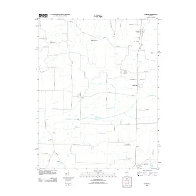 2012 Cypress2012 Print · USGSSouthern Illinois river lowlands and rural crossroads are captured here in the early 2010s. Genealogists and local historians can trace family ties at Masonic Cem, explore the Shawnee Community College campus, or locate the small settlements of Perks and New Grand Chain.
 - 2012 Map of Mount Pleasant, 2012 Print
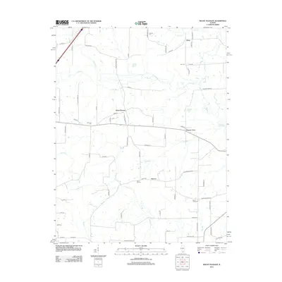 2012 Mount Pleasant2012 Print · USGSSouthern Illinois agricultural life and bottomland drainage define this Union County landscape in the early 2010s. Researchers can trace historic family burial sites and rural hamlets like Elvira, Moscow, and Mount Zion Cem along the Cache River.
 - 2012 Map of Makanda, 2012 Print
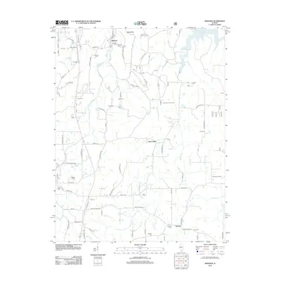 2012 Makanda2012 Print · USGSSouthern Illinois hill country comes alive in the early twenty-first century, showing a landscape defined by high ridges and deep-seated family history. Genealogists can trace a wealth of burial sites including Sheppard Cem, Treece Cem, and Sitter Cem.
 - 2012 Map of Lick Creek, 2012 Print
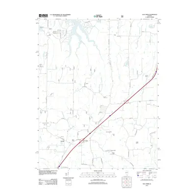 2012 Lick Creek2012 Print · USGSSouthern Illinois in the early twenty-first century reveals a landscape shaped by rural settlements and family heritage. Genealogists and historians can trace numerous burial sites like Old Pleasant Hill Cem and Mount Hebron Cem near the shores of Devils Kitchen Lake.
 - 2012 Map of Ware, 2012 Print
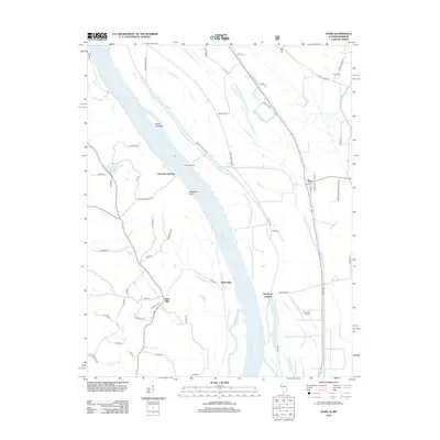 2012 Ware2012 Print · USGSThe Illinois-Missouri borderlands along the Mississippi River come to life in this detailed 2012 survey. Local historians and genealogists can trace river-town roots through Hamburg Landing, the Hamburg School, and family sites like Rallo Cem and Egypt Mills.
 - 2012 Map of McClure, 2012 Print
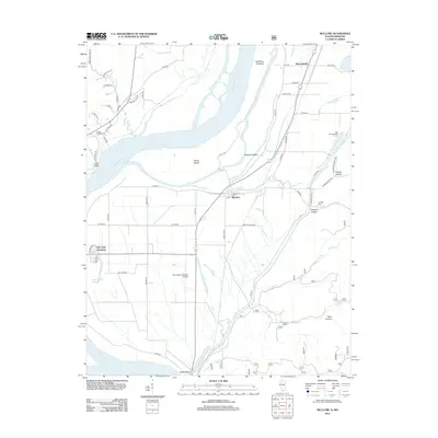 2012 McClure2012 Print · USGSThe Mississippi River floodplain and the Shawnee National Forest meet in this early 2010s survey of the Illinois-Missouri border. Researchers can trace the legacy of local families and industry through sites like Hobbs Chapel Cem, Reynoldsville, and the Big Inch Pipe Line.
 - 2012 Map of Wolf Lake, 2012 Print
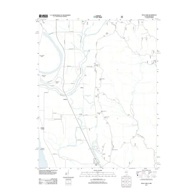 2012 Wolf Lake2012 Print · USGSThis early twenty-first-century survey captures the riverfront of Jackson County where the river bluffs meet the bottomlands. Researchers can trace historic river access points and settlements like Kings Ferry, Aldridge, and the namesake Wolf Lake.
 - 2015 Map of Neelys Landing, 2015 Print
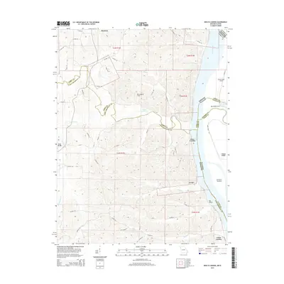 2015 Neelys Landing2015 Print · USGSThe Mississippi River corridor along the Missouri-Illinois border is documented here in the early twenty-first century. Researchers can trace riverside history at Neelys Landing or locate Union Point and Dog Hollow along the shoreline.
 - 2015 Map of Anna, 2015 Print
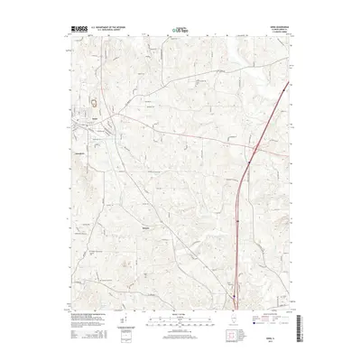 2015 Anna2015 Print · USGSSouthern Illinois at the turn of the decade reveals the connected communities of Anna and Jonesboro alongside a complex rural road network. Researchers can trace family history through several local burial sites, including Mission Chapel Cem and Union Cem.
 - 2015 Map of Jonesboro, 2015 Print
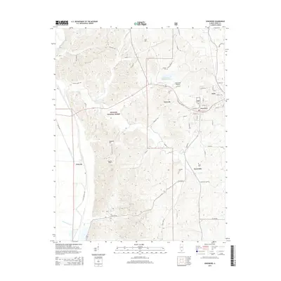 2015 Jonesboro2015 Print · USGSSouthern Illinois hill country meets the Mississippi bottomlands in this modern topographic study of the Anna and Jonesboro area. Genealogists and local historians can trace family-named sites like Kimmel Cem, Kratzinger Hollow, and the rural settlement of Dutch Mills.
 - 2015 Map of Dongola, 2015 Print
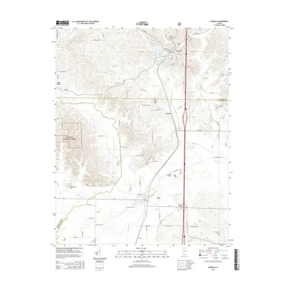 2015 Dongola2015 Print · USGSSouthern Illinois at the crossroads of Union and Pulaski counties reveals a landscape of river bottoms and wooded ridges in this recent survey. Researchers can locate numerous local landmarks including Ullin City Cem, the campus of Shawnee Community College, and Egyptian Ridge.
 - 2015 Map of Cobden, 2015 Print
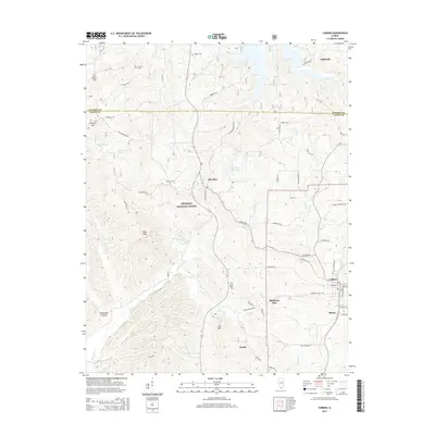 2015 Cobden2015 Print · USGSSouthern Illinois at the edge of the Shawnee Hills is captured here in the mid-2010s, showing a landscape of high ridges and deep hollows. Researchers can trace family history at Hagler Cem or Mount Tabor Cem and locate landmarks like Bald Knob and the Alto Pass Reservoir.
 - 2015 Map of Makanda, 2015 Print
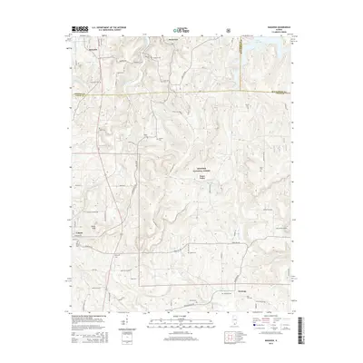 2015 Makanda2015 Print · USGSSouthern Illinois hill country appears in high detail during the mid-2010s, centering on the wooded ridges of the Shawnee National Forest. Researchers can locate dozens of family burial sites like Lirley Cem and Vancil Cem or trace the early course of the Cache River.
 - 2015 Map of Cypress, 2015 Print
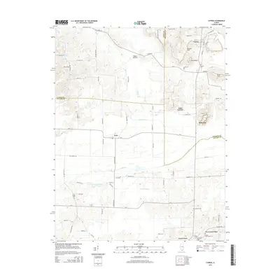 2015 Cypress2015 Print · USGSSouthern Illinois wetlands and rail junctions meet in this mid-2010s survey of the Cache River bottomlands. Researchers can locate family sites at Masonic Cemetery or trace old routes through Perks, Joppa Junction, and Grand Chain.
 - 2015 Map of Lick Creek, 2015 Print
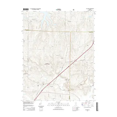 2015 Lick Creek2015 Print · USGSSouthern Illinois in the mid-2010s reveals a landscape defined by the wooded ridges of the Shawnee National Forest. Genealogists and historians can locate numerous small burial sites like Mount Hebron Cem and prominent natural features such as Drapers Bluff.
 - 2015 Map of Ware, 2015 Print
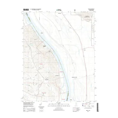 2015 Ware2015 Print · USGSThe Mississippi River corridor near the Illinois-Missouri border comes to life in this mid-2010s study. Genealogists and local historians can trace family land near Egypt Mills, find the Rallo Cem, or explore river landings like Hamburg Landing.
 - 2015 Map of Mill Creek, 2015 Print
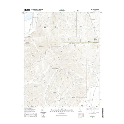 2015 Mill Creek2015 Print · USGSSouthern Illinois at the edge of the Shawnee National Forest reveals a landscape of ridge-top settlements and creek-bottom homesteads. Genealogists can trace several local burial sites including McCrite Cem, Provo Cem, and Sims Cem near Elco.
 - 2015 Map of Mount Pleasant, 2015 Print
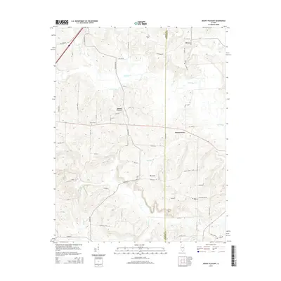 2015 Mount Pleasant2015 Print · USGSSouthern Illinois at the mid-decade reveals a quiet rural landscape centered on Mount Pleasant and the Cache River. Genealogists can trace family footprints through numerous local landmarks like Mount Pisgah Cem and Mount Zion Cem.
 - 2015 Map of Wolf Lake, 2015 Print
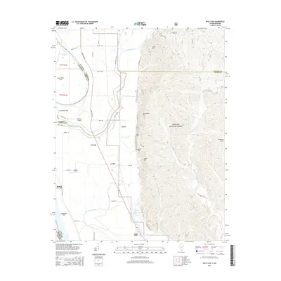 2015 Wolf Lake2015 Print · USGSSouthern Illinois river life meets the bluffs of the Shawnee National Forest in this mid-2010s survey. Researchers can trace the drainage of the Mississippi floodplain through Running Lake Ditch and locate the small settlements of Aldridge and Wolf Lake.
Showing maps 1-25 of 39
Top cities of Union County
- Anna historical maps
- Jonesboro historical maps
- Cobden historical maps
- Dongola historical maps
- Alto Pass historical maps
- Mill Creek historical maps
Frequently asked questions
- What are the different types of historical maps available for Union County?
- What is the oldest map of Union County?
- Where can I purchase historical maps of Union County for my home or office?
- Where can I download high-res historical maps of Union County?
- Are there historical topographic maps available for Union County?
- Is there historical aerial imagery available for Union County?
- Where are historical maps of Union County sourced from?