Old Maps of Du Bois, Illinois for Metal Detecting
Plan your next treasure hunt with 10 historic maps of Du Bois. Find old homesites, ghost towns, trails, and gathering spots that may be lost to time — perfect for identifying promising metal detecting locations.
- Locate forgotten sites: Uncover places like long-lost settlements, abandoned rail lines, or gathering spots.
- Plan better hunts: Use map overlays combined with LiDAR or satellite views to narrow in on historically rich areas.
- Made for detectorists: Thousands of hobbyists use these maps to discover relics, coins, and hidden history.
Use these historic maps to boost your research and find new opportunities beneath the surface of Du Bois.
Du Bois, IL maps
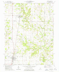
(10)- 1926 Map of Duquoin
 1926 Duquoin1926 Print · USGSSouthern Illinois coal country is at its industrial peak in the mid-twenties, with thriving rail towns and active collieries. You can trace early 20th-century family roots at Young's Chapel or locate old operations like the Big Ben Mine and Old Keller Mine.3 unique versions available
 - 1958 Map of Belleville, 1973 Print
 1958 Belleville1973 Print · USGSSouthern Illinois during the mid-twentieth century reveals a landscape of industrial growth and massive new reservoirs. Genealogists and historians can trace the paths of the Illinois Central RR through towns like Centralia or locate landmarks such as Emerald Mound and the Looking Glass Prairie.3 unique versions available
 - 1962 Map of Belleville
 1962 Belleville1962 Print · USGSSouthern Illinois in the late fifties reveals a landscape of industrial growth and ancient landmarks before the full expansion of the interstate system. Genealogists can trace family names and rural post offices near Centralia, Salem, and the historic Monks Mound.
 - 1975 Map of Tamaroa, 1977 Print
 1975 Tamaroa1977 Print · USGSThe rail-and-river landscape of Perry and Washington Counties comes to life in this mid-seventies survey of the Illinois interior. Genealogists and historians can trace the Tamaroa Oil Field, the village of Tamaroa, and local landmarks like Antioch Cem and Curlee Cem.
 - 1985 Map of Pinckneyville
 1985 Pinckneyville1985 Print · USGSSouthern Illinois in the mid-eighties shows a landscape of prairie farms, coal extraction, and vital rail corridors. Researchers can trace the rail-side growth of Venedy Station and New Memphis Station or locate landmarks like St Libory Church and Memorial Gardens Cem.2 unique versions available
 - 2012 Map of Tamaroa, 2012 Print
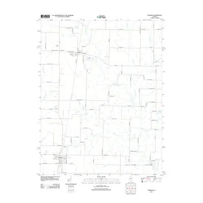 2012 Tamaroa2012 Print · USGSCovers Du Bois, including Tamaroa, Jefferson County, and other nearby areas
 - 2015 Map of Tamaroa, 2015 Print
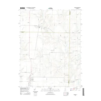 2015 Tamaroa2015 Print · USGSCovers Du Bois, including Tamaroa, Jefferson County, and other nearby areas
 - 2018 Map of Tamaroa, 2018 Print
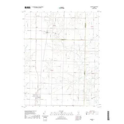 2018 Tamaroa2018 Print · USGSCovers Du Bois, including Tamaroa, Jefferson County, and other nearby areas
 - 2021 Map of Tamaroa, 2021 Print
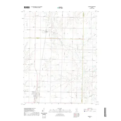 2021 Tamaroa2021 Print · USGSCovers Du Bois, including Tamaroa, Jefferson County, and other nearby areas
 - 2024 Map of Tamaroa, 2024 Print
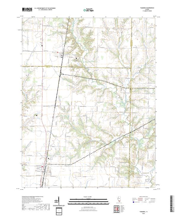 2024 Tamaroa2024 Print · USGSThe prairie and creek-cut landscapes of southern Illinois appear here in recent detail, centered on the villages of Tamaroa and Du Bois. Researchers can trace old family roots through several landmarks including Antioch Cemetery, Little Beaucoup Creek, and Saint Charles Cemetery.
End of results
Showing maps 1-10 of 10
Top cities near Du Bois
- Du Quoin historical maps
- Pinckneyville historical maps
- Nashville historical maps
- Sesser historical maps
- Tamaroa historical maps
- Irvington historical maps
See more
Frequently asked questions
- What are the different types of historical maps available for Du Bois?
- What is the oldest map of Du Bois?
- Where can I purchase historical maps of Du Bois for my home or office?
- Where can I download high-res historical maps of Du Bois?
- Are there historical topographic maps available for Du Bois?
- Is there historical aerial imagery available for Du Bois?
- Where are historical maps of Du Bois sourced from?