Old Maps of Okawville, Illinois for Genealogy
Trace your family roots with 11 historic maps of Okawville. These high-res maps reveal old neighborhoods, homesites, landmarks, and streets — helping you uncover where your ancestors lived and how the area evolved over time.
- Explore historic neighborhoods: Identify where your relatives may have lived in the 1800s or 1900s.
- Compare maps over time: Trace the changes in streets, buildings, and landmarks for multi-generational research.
- Perfect for genealogy & ancestry research: Used by family historians and researchers to map out lineage and migration.
These maps are an incredible resource for exploring your personal connection to Okawville's past.
Okawville, IL maps
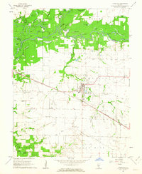
(11)- 1910 Map of Okawville
 1910 Okawville1910 Print · USGSEastern St. Clair and Washington counties appear here in the early 1900s, where the winding river bottomlands met the expanding railroad. Local historians can trace the development of Okawville along the Louisville & Nashville RR or find rural landmarks like Stone Church and Woodland School.2 unique versions available
 - 1940 Map of Okawville, 1958 Print
 1940 Okawville1958 Print · USGSSouthwestern Illinois at the start of the 1940s remains a landscape of tight-knit farming hamlets and river-bottom wetlands. Researchers can trace the heritage of German settlements and rail stops from St Libory and Darmstadt to the mineral springs area of Okawville.
 - 1958 Map of Belleville, 1973 Print
 1958 Belleville1973 Print · USGSSouthern Illinois during the mid-twentieth century reveals a landscape of industrial growth and massive new reservoirs. Genealogists and historians can trace the paths of the Illinois Central RR through towns like Centralia or locate landmarks such as Emerald Mound and the Looking Glass Prairie.3 unique versions available
 - 1962 Map of Belleville
 1962 Belleville1962 Print · USGSSouthern Illinois in the late fifties reveals a landscape of industrial growth and ancient landmarks before the full expansion of the interstate system. Genealogists can trace family names and rural post offices near Centralia, Salem, and the historic Monks Mound.
 - 1962 Map of Okawville, 1963 Print
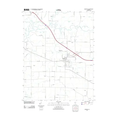
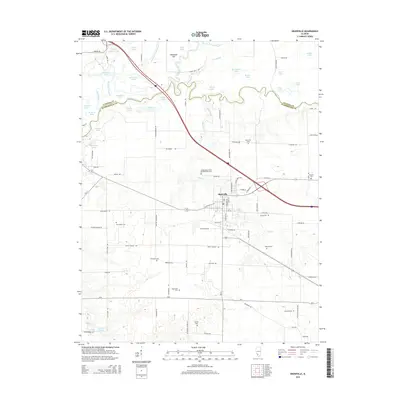
 1962 Okawville1963 Print · USGSWashington County during the early 1960s reveals a landscape defined by the winding Kaskaskia River and the steady commerce of the rail lines. Researchers can trace ancestral roots through numerous local landmarks like St Pauls Ch, Klasing Sch, and the IOOF Cem.2 unique versions available
 - 1985 Map of Pinckneyville
 1985 Pinckneyville1985 Print · USGSSouthern Illinois in the mid-eighties shows a landscape of prairie farms, coal extraction, and vital rail corridors. Researchers can trace the rail-side growth of Venedy Station and New Memphis Station or locate landmarks like St Libory Church and Memorial Gardens Cem.2 unique versions available
 - 2012 Map of Okawville, 2012 Print
 2012 Okawville2012 Print · USGSCovers Okawville, including Clinton County, Washington County, and other nearby areas
 - 2015 Map of Okawville, 2015 Print
 2015 Okawville2015 Print · USGSCovers Okawville, including Clinton County, Washington County, and other nearby areas
 - 2018 Map of Okawville, 2018 Print
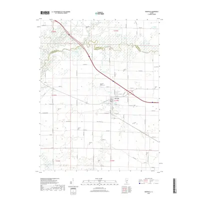 2018 Okawville2018 Print · USGSCovers Okawville, including Clinton County, Washington County, and other nearby areas
 - 2021 Map of Okawville, 2021 Print
 2021 Okawville2021 Print · USGSCovers Okawville, including Clinton County, Washington County, and other nearby areas
 - 2024 Map of Okawville, 2024 Print
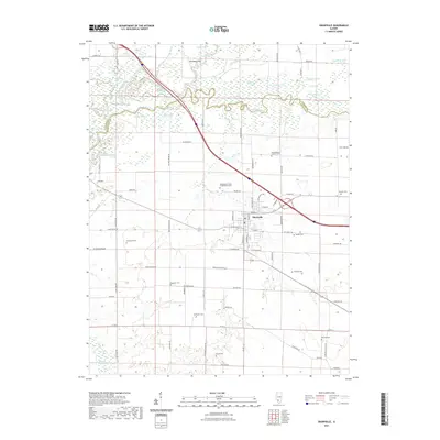
 2024 Okawville2024 Print · USGSModern-day Okawville and the Kaskaskia River valley are captured in this recent survey of Washington and Clinton counties. Genealogists can trace family heritage through numerous local sites like Harrymans Cem, Ebenezer Cem, and Saint Barbara Catholic Cem.
End of results
Showing maps 1-11 of 11
Top cities near Okawville
- Breese historical maps
- Carlyle historical maps
- New Baden historical maps
- Nashville historical maps
- Trenton historical maps
- Marissa historical maps
See more
Frequently asked questions
- What are the different types of historical maps available for Okawville?
- What is the oldest map of Okawville?
- Where can I purchase historical maps of Okawville for my home or office?
- Where can I download high-res historical maps of Okawville?
- Are there historical topographic maps available for Okawville?
- Is there historical aerial imagery available for Okawville?
- Where are historical maps of Okawville sourced from?