Old Maps of Ellery, Illinois for Academic Research
Study the evolution of Ellery with 11 high-resolution historic maps. Whether you're teaching, researching, or modeling changes in land use, these maps provide essential visual documentation of urban, environmental, and geographic change.
- Analyze long-term change: Track patterns in development, transportation, and natural features.
- Ideal for environmental or urban studies: Support academic projects with primary historical map data.
- Use in the classroom or lab: Educators and researchers rely on these maps to bring historical context to life.
These maps are a powerful tool for teaching, research, and visualizing how Ellery has changed over the decades.
Ellery, IL maps
(11)- 1943 Map of Albion, 1969 Print
 1943 Albion1969 Print · USGSEdwards County and its neighbors are captured here in the 1940s, showing a landscape defined by the winding Little Wabash River and the Southern rail line. Genealogists can locate numerous rural landmarks like Wanbor Cem, Samsville, and the Curtisville Sch.
 - 1946 Map of Albion
 1946 Albion1946 Print · USGSEdwards and Wayne Counties are shown in the mid-1940s as a thriving network of rural school districts and small rail towns. Genealogists can trace family homesteads near Albion and Bone Gap or locate vanished landmarks like Blacks Store and Beech Bluff Sch.
 - 1958 Map of Belleville, 1973 Print
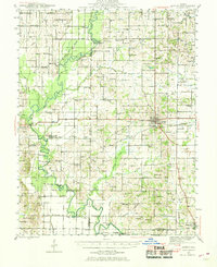
 1958 Belleville1973 Print · USGSSouthern Illinois during the mid-twentieth century reveals a landscape of industrial growth and massive new reservoirs. Genealogists and historians can trace the paths of the Illinois Central RR through towns like Centralia or locate landmarks such as Emerald Mound and the Looking Glass Prairie.3 unique versions available
 - 1962 Map of Belleville
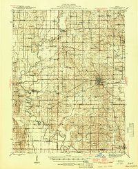
 1962 Belleville1962 Print · USGSSouthern Illinois in the late fifties reveals a landscape of industrial growth and ancient landmarks before the full expansion of the interstate system. Genealogists can trace family names and rural post offices near Centralia, Salem, and the historic Monks Mound.
 - 1971 Map of Golden Gate, 1973 Print
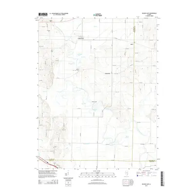
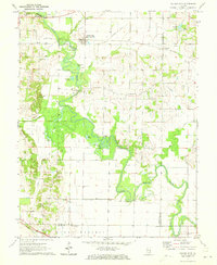 1971 Golden Gate1973 Print · USGSSoutheastern Illinois in the early 1970s is characterized by the winding oxbows of the Little Wabash River and active riverfront industry. Genealogists can trace several family burial sites including Wilson Cem and Stewart Cem, while historians can locate the Old Iron Bridge and Southern Railway corridor.
 - 1982 Map of Mount Vernon
 1982 Mount Vernon1982 Print · USGSSouthern Illinois and Southwestern Indiana meet here during a period of significant regional water management and transit growth. Researchers can trace the development of Rend Lake and locate vanished rail stops along the Southern RR near Bluford and Golden Gate.
 - 2012 Map of Golden Gate, 2012 Print
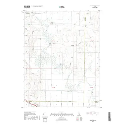
 2012 Golden Gate2012 Print · USGSCovers Ellery, including Golden Gate, Scottsville, and other nearby areas
 - 2015 Map of Golden Gate, 2015 Print
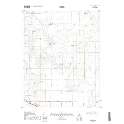
 2015 Golden Gate2015 Print · USGSCovers Ellery, including Golden Gate, Scottsville, and other nearby areas
 - 2018 Map of Golden Gate, 2018 Print
 2018 Golden Gate2018 Print · USGSCovers Ellery, including Golden Gate, Scottsville, and other nearby areas
 - 2021 Map of Golden Gate, 2021 Print
 2021 Golden Gate2021 Print · USGSCovers Ellery, including Golden Gate, Scottsville, and other nearby areas
 - 2024 Map of Golden Gate, 2024 Print
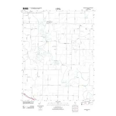
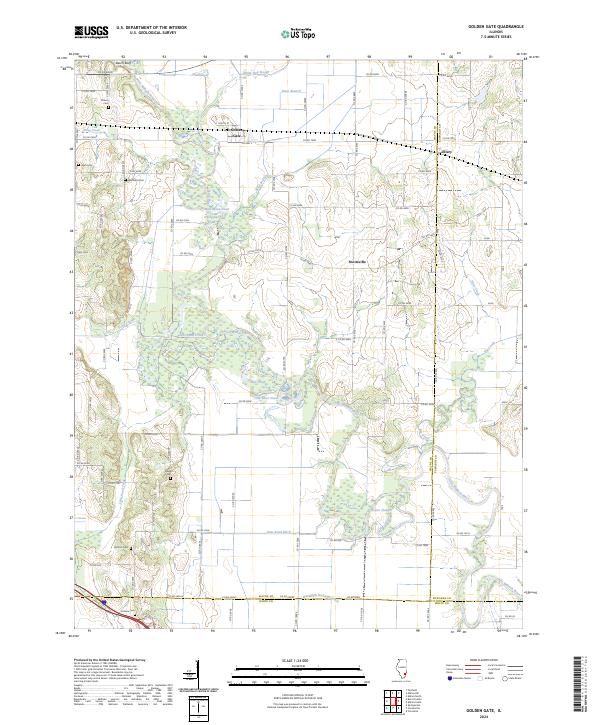 2024 Golden Gate2024 Print · USGSSoutheastern Illinois farming country is captured here in the early twenty-first century along the winding Little Wabash River. Researchers can locate numerous local burial sites like Antioch Cem and Windland Cem or trace the early community footprints of Golden Gate and Ellery.
End of results
Showing maps 1-11 of 11
Top cities near Ellery
- Fairfield historical maps
- Albion historical maps
- Grayville historical maps
- West Salem historical maps
- New Harmony historical maps
- Mill Shoals historical maps
See more
Frequently asked questions
- What are the different types of historical maps available for Ellery?
- What is the oldest map of Ellery?
- Where can I purchase historical maps of Ellery for my home or office?
- Where can I download high-res historical maps of Ellery?
- Are there historical topographic maps available for Ellery?
- Is there historical aerial imagery available for Ellery?
- Where are historical maps of Ellery sourced from?