2020s Maps of White County, Illinois
Explore 28 historic maps of White County from the 2020s. These maps offer a rare glimpse into what life looked like during the 2020s — showing old roads, neighborhoods, homes, and landmarks that have changed or disappeared over time.
Whether you're researching your family's past, planning a metal detecting trip, or studying how White County's landscape evolved across the 2020s, these high-resolution maps are a powerful tool for exploring the history of this region.
- Focus on a specific era: All maps on this page are from the 2020s, giving you a focused view of this time period.
- See what’s changed: Compare century-old streets, trails, and buildings to today's modern landscape using overlays and satellite layers.
- Research with precision: Use these maps for genealogy, historical research, land use analysis, or educational projects.
- View, download, or print: Maps are fully viewable online in high resolution, and can be downloaded or printed for your own records.
Start exploring White County's history through authentic maps from the 2020s. This is your window into the past.
White County, IL maps
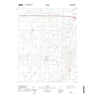
(28)- 2021 Map of Golden Gate, 2021 Print
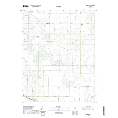 2021 Golden Gate2021 Print · USGSCovers White County, including Golden Gate, Scottsville, and other nearby areas
 - 2021 Map of Centerville, 2021 Print
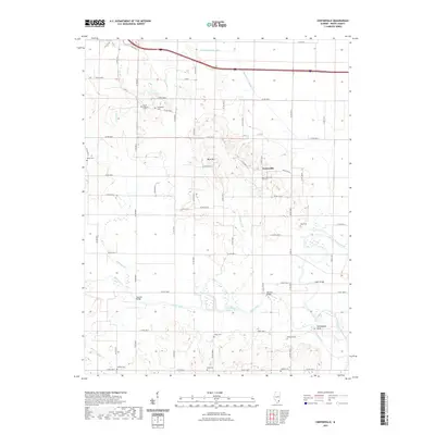 2021 Centerville2021 Print · USGSCovers White County, including Centerville, United States, and other nearby areas
 - 2021 Map of Springerton, 2021 Print
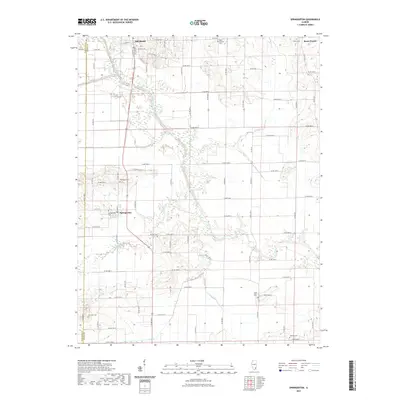 2021 Springerton2021 Print · USGSCovers White County, including Mill Shoals, Springerton, and other nearby areas
 - 2021 Map of Burnt Prairie, 2021 Print
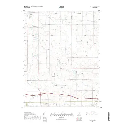 2021 Burnt Prairie2021 Print · USGSCovers White County, including Fairfield, Mill Shoals, and other nearby areas
 - 2021 Map of Crossville, 2021 Print
 2021 Crossville2021 Print · USGSCovers White County, including Grayville, Crossville, and other nearby areas
 - 2021 Map of Maunie, 2021 Print
 2021 Maunie2021 Print · USGSCovers White County, including Maunie, Rising Sun, and other nearby areas
 - 2021 Map of Enfield, 2021 Print
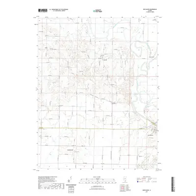
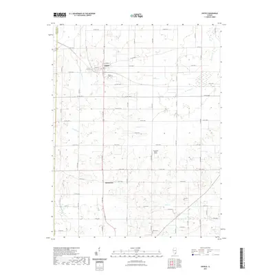 2021 Enfield2021 Print · USGSCovers White County, including Enfield, Sacramento, and other nearby areas
 - 2021 Map of Carmi, 2021 Print
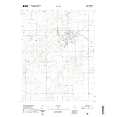 2021 Carmi2021 Print · USGSCovers White County, including Carmi, Brownsville, and other nearby areas
 - 2021 Map of Albion South, 2021 Print
 2021 Albion South2021 Print · USGSCovers White County, including Albion, Grayville, and other nearby areas
 - 2021 Map of Emma, 2021 Print
 2021 Emma2021 Print · USGSCovers White County, including Emma, New Haven, and other nearby areas
 - 2021 Map of Norris City, 2021 Print
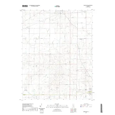
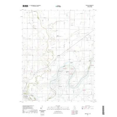
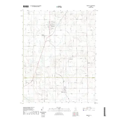 2021 Norris City2021 Print · USGSCovers White County, including Norris City, Omaha, and other nearby areas
 - 2021 Map of New Haven, 2021 Print
 2021 New Haven2021 Print · USGSCovers White County, including New Haven, Iron, and other nearby areas
 - 2021 Map of Grayville, 2021 Print
 2021 Grayville2021 Print · USGSCovers White County, including Grayville, Browns, and other nearby areas
 - 2022 Map of New Harmony, 2022 Print
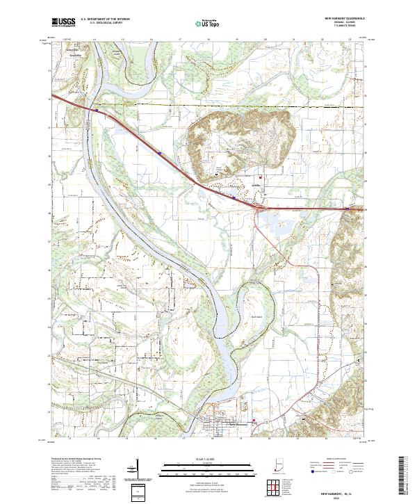 2022 New Harmony2022 Print · USGSThe Illinois-Indiana borderlands along the Wabash River are captured here in the early twenty-first century, showing a landscape shaped by shifting waters and historic town sites. Researchers can trace family roots at Mount Pleasant Cem or explore the river's path around Bull Island and Ribeyre Island.
 - 2022 Map of Solitude, 2022 Print
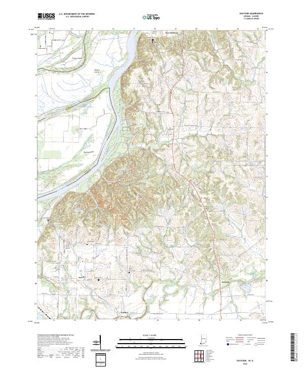 2022 Solitude2022 Print · USGSThe Indiana-Illinois border along the Wabash River comes into focus in this recent survey of Posey County. Researchers can trace the communal roots of New Harmony, locate the Harmonist Cem, or find smaller settlements like Savah and Solitude.
 - 2024 Map of Norris City, 2024 Print
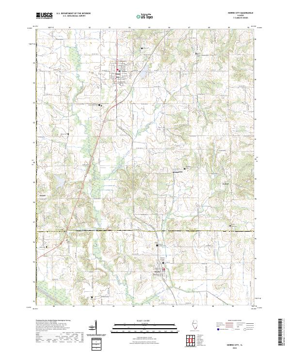 2024 Norris City2024 Print · USGSSouthern Illinois farm country is meticulously detailed in this recent survey of White and Gallatin Counties. Researchers can locate numerous ancestral sites including the Independent Order of Odd Fellows Cem, Hazel Ridge Cem, and the settlement of Roland.
 - 2024 Map of New Haven, 2024 Print
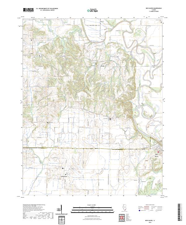 2024 New Haven2024 Print · USGSGallatin and White counties are mapped in the modern era, showing the enduring rural layout of the Little Wabash River valley. Genealogists can locate several family burial sites, such as the Garrison Family Cemetery and Swan Cemetery, alongside the old community of Herald.
 - 2024 Map of Centerville, 2024 Print
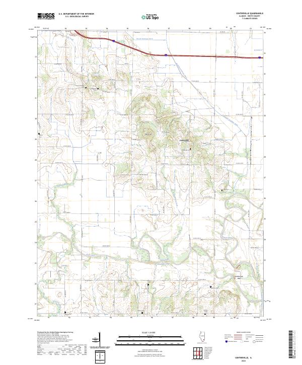 2024 Centerville2024 Print · USGSWhite County’s river-bound landscape is captured here in the 2020s, showing the intersection of the Little Wabash River and rural settlement. Genealogists can locate numerous local burial sites including Old Bethel Cem, Salem Cem, and Hadden Cem.
 - 2024 Map of Maunie, 2024 Print
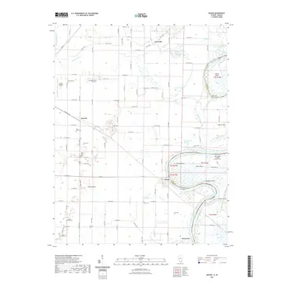
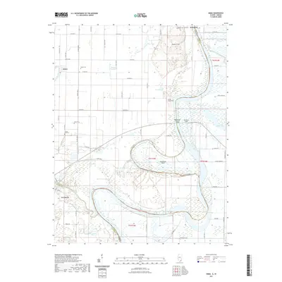
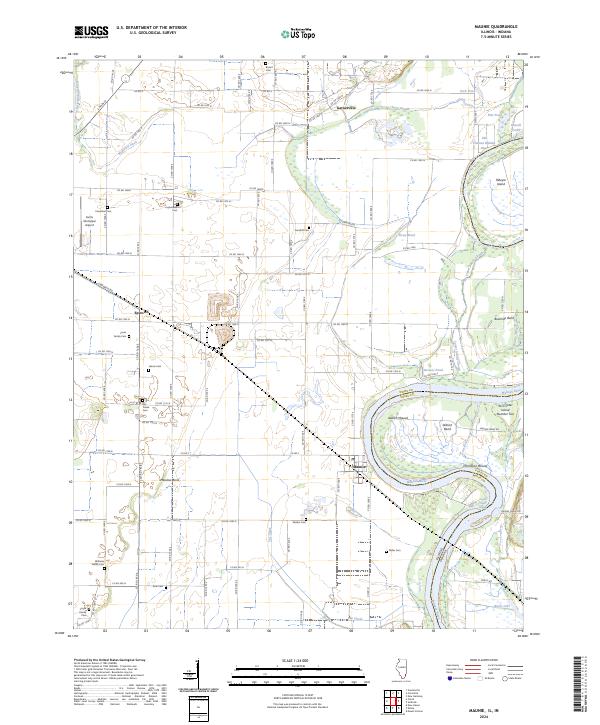 2024 Maunie2024 Print · USGSThe river-driven landscape of White County comes into focus in this contemporary survey of the Illinois and Indiana border. Genealogists and local historians can trace family burial sites like Williams Family Cem and ancient landmarks including Aldrich Mound and Thompson Mound.
 - 2024 Map of Golden Gate, 2024 Print
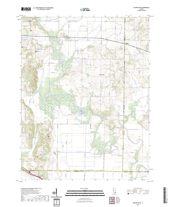 2024 Golden Gate2024 Print · USGSSoutheastern Illinois farming country is captured here in the early twenty-first century along the winding Little Wabash River. Researchers can locate numerous local burial sites like Antioch Cem and Windland Cem or trace the early community footprints of Golden Gate and Ellery.
 - 2024 Map of Crossville, 2024 Print
 2024 Crossville2024 Print · USGSWhite County in the early twenty-first century maintains a landscape of river-bound hamlets and family farmsteads connected by a dense county road grid. Genealogists can locate several remote burial grounds, including Whiting Family Cem, Bethel Cem, and the Brown Cem.
 - 2024 Map of Albion South, 2024 Print
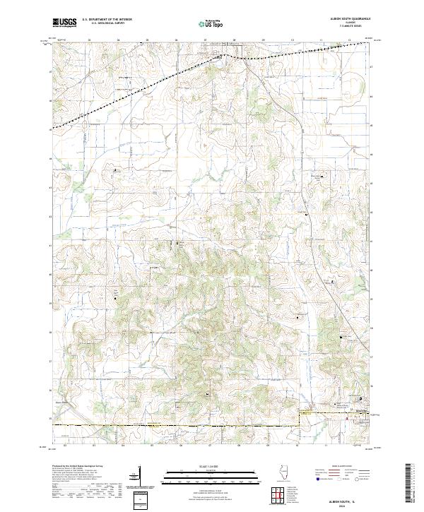 2024 Albion South2024 Print · USGSEdwards County in the 2020s remains a landscape of traditional crossroads and deeply rooted family histories. Genealogists can locate numerous rural burial sites like the James Hean Family Cem, Birk Prairie Cem, and the Holy Name Catholic Church Cem.
 - 2024 Map of Enfield, 2024 Print
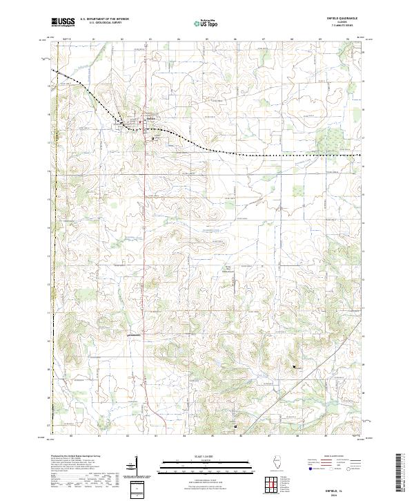 2024 Enfield2024 Print · USGSNorthwestern White County is captured here in the early twenty-first century, showing the rural grid surrounding Enfield and Sacramento. Researchers can locate family sites at Enfield Village Cem or trace the paths of Sevenmile Creek and Lick Creek.
 - 2024 Map of Emma, 2024 Print
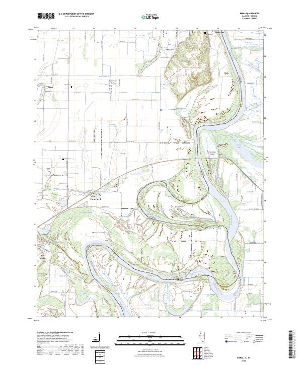 2024 Emma2024 Print · USGSThe confluence and meanders of the Wabash River and Little Wabash River define this river-border region during the early twenty-first century. Researchers can trace historic family burial sites at Abshire Cem or Orange Grove Cem and explore the shifting riverbanks near Hermann Island and New Haven.
 - 2024 Map of Springerton, 2024 Print
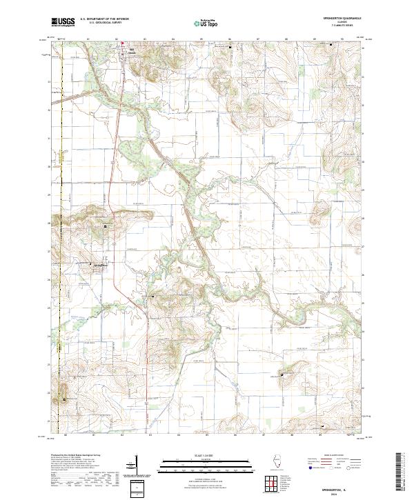 2024 Springerton2024 Print · USGSSouthern Illinois farm country and the wetlands of the Skillet Fork are detailed here in recent years. Genealogists can locate several family burial grounds, including McIntosh Cem, Borium Cem, and the village centers of Mill Shoals and Springerton.
Showing maps 1-25 of 28
Top cities of White County
- Carmi historical maps
- Norris City historical maps
- Mill Shoals historical maps
- Crossville historical maps
- Enfield historical maps
- Emma historical maps
See more
Frequently asked questions
- What are the different types of historical maps available for White County?
- What is the oldest map of White County?
- Where can I purchase historical maps of White County for my home or office?
- Where can I download high-res historical maps of White County?
- Are there historical topographic maps available for White County?
- Is there historical aerial imagery available for White County?
- Where are historical maps of White County sourced from?