Old Maps of Mill Shoals, Illinois for Academic Research
Study the evolution of Mill Shoals with 18 high-resolution historic maps. Whether you're teaching, researching, or modeling changes in land use, these maps provide essential visual documentation of urban, environmental, and geographic change.
- Analyze long-term change: Track patterns in development, transportation, and natural features.
- Ideal for environmental or urban studies: Support academic projects with primary historical map data.
- Use in the classroom or lab: Educators and researchers rely on these maps to bring historical context to life.
These maps are a powerful tool for teaching, research, and visualizing how Mill Shoals has changed over the decades.
Mill Shoals, IL maps
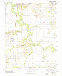
(18)- 1941 Map of Enfield, 1968 Print
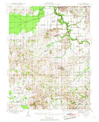 1941 Enfield1968 Print · USGSWhite and Hamilton counties in the early 1940s were defined by a vast network of rural school districts and rail-connected hamlets. Genealogists can trace family roots through numerous local landmarks, from the Burnt Prairie P O to the McIntosh Cem and Wildcat Sch.
 - 1944 Map of Enfield
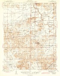 1944 Enfield1944 Print · USGSSoutheastern Illinois in the early 1940s is defined here by a dense grid of rural schools and the intersection of major rail lines. Researchers can trace ancestral locations through the dozens of named institutions like McIntosh Settlement, Asbury Ch, and Trousdale Sch.2 unique versions available
 - 1948 Map of Fairfield
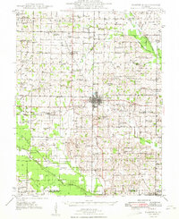 1948 Fairfield1948 Print · USGSWayne County is captured in the late 1940s as a thriving network of small rail towns and rural school districts. Genealogists and historians can trace family locations near Pure Gold Sch, the Crews Cem, or the rail junction at Fairfield.2 unique versions available
 - 1958 Map of Belleville, 1973 Print
 1958 Belleville1973 Print · USGSSouthern Illinois during the mid-twentieth century reveals a landscape of industrial growth and massive new reservoirs. Genealogists and historians can trace the paths of the Illinois Central RR through towns like Centralia or locate landmarks such as Emerald Mound and the Looking Glass Prairie.3 unique versions available
 - 1962 Map of Belleville
 1962 Belleville1962 Print · USGSSouthern Illinois in the late fifties reveals a landscape of industrial growth and ancient landmarks before the full expansion of the interstate system. Genealogists can trace family names and rural post offices near Centralia, Salem, and the historic Monks Mound.
 - 1971 Map of Burnt Prairie, 1973 Print
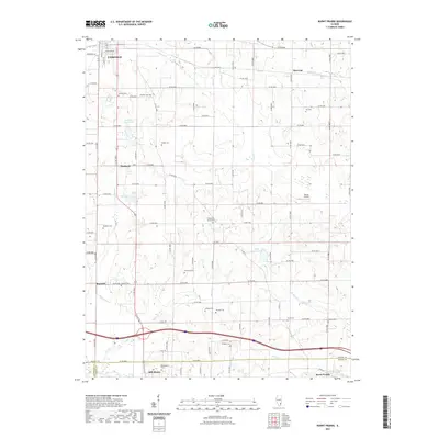
 1971 Burnt Prairie1973 Print · USGSSoutheastern Illinois reveals a landscape of active petroleum extraction and family homesteads in the early seventies. Genealogists and historians can trace numerous rural burial grounds like Koontz Cem and Gifford Cem alongside the heavy rail presence of the Baltimore and Ohio RR.
 - 1974 Map of Springerton, 1977 Print
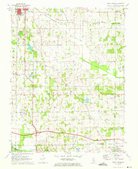
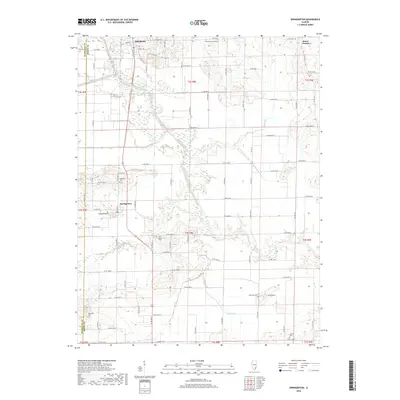
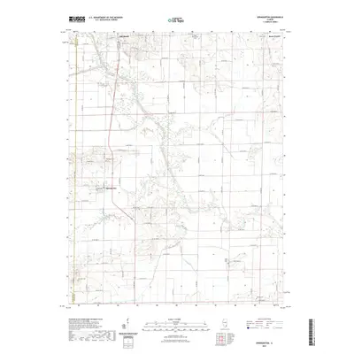
 1974 Springerton1977 Print · USGSWhite and Hamilton Counties appear in the mid-1970s as a landscape of productive bottomlands and tight-knit rural communities. Genealogists can locate several local burial sites such as Kitty Sweeten Cem and Hammack Cem, or trace the rail route of the Baltimore and Ohio through Springerton.
 - 1982 Map of Mount Vernon
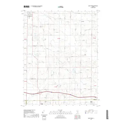
 1982 Mount Vernon1982 Print · USGSSouthern Illinois and Southwestern Indiana meet here during a period of significant regional water management and transit growth. Researchers can trace the development of Rend Lake and locate vanished rail stops along the Southern RR near Bluford and Golden Gate.
 - 2012 Map of Springerton, 2012 Print
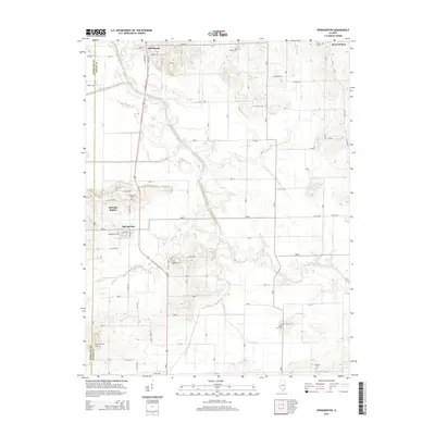
 2012 Springerton2012 Print · USGSCovers Mill Shoals, including Springerton, Springer Station, and other nearby areas
 - 2012 Map of Burnt Prairie, 2012 Print
 2012 Burnt Prairie2012 Print · USGSCovers Mill Shoals, including Fairfield, Barnhill, and other nearby areas
 - 2015 Map of Burnt Prairie, 2015 Print
 2015 Burnt Prairie2015 Print · USGSCovers Mill Shoals, including Fairfield, Barnhill, and other nearby areas
 - 2015 Map of Springerton, 2015 Print
 2015 Springerton2015 Print · USGSCovers Mill Shoals, including Springerton, Springer Station, and other nearby areas
 - 2018 Map of Springerton, 2018 Print
 2018 Springerton2018 Print · USGSCovers Mill Shoals, including Springerton, Springer Station, and other nearby areas
 - 2018 Map of Burnt Prairie, 2018 Print
 2018 Burnt Prairie2018 Print · USGSCovers Mill Shoals, including Fairfield, Barnhill, and other nearby areas
 - 2021 Map of Springerton, 2021 Print
 2021 Springerton2021 Print · USGSCovers Mill Shoals, including Springerton, Springer Station, and other nearby areas
 - 2021 Map of Burnt Prairie, 2021 Print
 2021 Burnt Prairie2021 Print · USGSCovers Mill Shoals, including Fairfield, Barnhill, and other nearby areas
 - 2024 Map of Springerton, 2024 Print
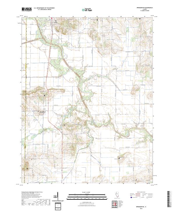 2024 Springerton2024 Print · USGSSouthern Illinois farm country and the wetlands of the Skillet Fork are detailed here in recent years. Genealogists can locate several family burial grounds, including McIntosh Cem, Borium Cem, and the village centers of Mill Shoals and Springerton.
 - 2024 Map of Burnt Prairie, 2024 Print
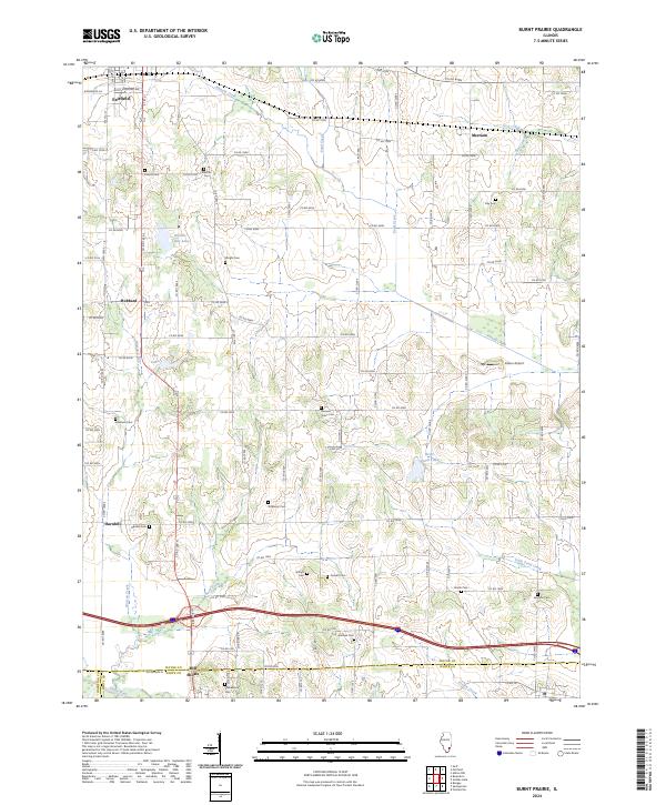 2024 Burnt Prairie2024 Print · USGSSouthern Illinois farmland at the Wayne and White County border is mapped here in detail during the early 2020s. Genealogists can locate numerous family burial sites, including Atteberry Cem and Shaeffer Cem, alongside the waters of Skillet Fork.
End of results
Showing maps 1-18 of 18
Top cities near Mill Shoals
- Fairfield historical maps
- Carmi historical maps
- McLeansboro historical maps
- Enfield historical maps
- Barnhill historical maps
- Sims historical maps
See more
Frequently asked questions
- What are the different types of historical maps available for Mill Shoals?
- What is the oldest map of Mill Shoals?
- Where can I purchase historical maps of Mill Shoals for my home or office?
- Where can I download high-res historical maps of Mill Shoals?
- Are there historical topographic maps available for Mill Shoals?
- Is there historical aerial imagery available for Mill Shoals?
- Where are historical maps of Mill Shoals sourced from?