2000s (21st Century) Maps of Tampico, Illinois
Explore 10 historic maps of Tampico from the 2000s (21st Century). These maps offer a rare glimpse into what life looked like during the 2000s — showing old roads, neighborhoods, homes, and landmarks that have changed or disappeared over time.
Whether you're researching your family's past, planning a metal detecting trip, or studying how Tampico's landscape evolved across the 2000s, these high-resolution maps are a powerful tool for exploring the history of this region.
- Focus on a specific era: All maps on this page are from the 2000s, giving you a focused view of this time period.
- See what’s changed: Compare century-old streets, trails, and buildings to today's modern landscape using overlays and satellite layers.
- Research with precision: Use these maps for genealogy, historical research, land use analysis, or educational projects.
- View, download, or print: Maps are fully viewable online in high resolution, and can be downloaded or printed for your own records.
Start exploring Tampico's history through authentic maps from the 2000s. This is your window into the past.
Tampico, IL maps
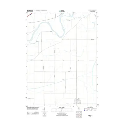
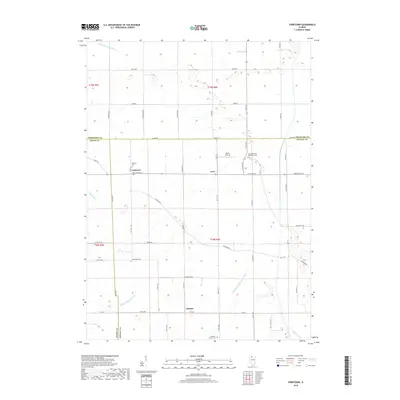
(10)- 2012 Map of Yorktown, 2012 Print
 2012 Yorktown2012 Print · USGSCovers Tampico, including Yorktown, Thomas, and other nearby areas
 - 2012 Map of Tampico, 2012 Print
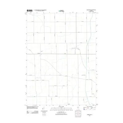
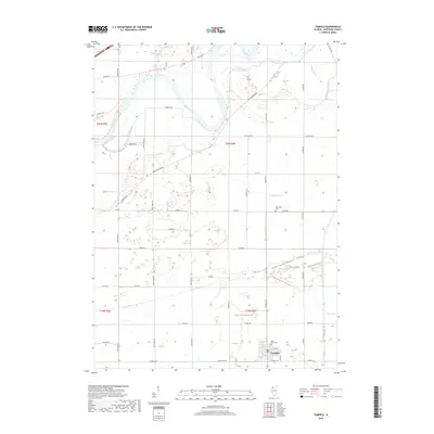
 2012 Tampico2012 Print · USGSCovers Tampico, including Whiteside County, United States, and other nearby areas
 - 2015 Map of Tampico, 2015 Print
 2015 Tampico2015 Print · USGSCovers Tampico, including Whiteside County, United States, and other nearby areas
 - 2015 Map of Yorktown, 2015 Print
 2015 Yorktown2015 Print · USGSCovers Tampico, including Yorktown, Thomas, and other nearby areas
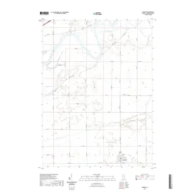
 - 2018 Map of Tampico, 2018 Print
 2018 Tampico2018 Print · USGSCovers Tampico, including Whiteside County, United States, and other nearby areas
 - 2018 Map of Yorktown, 2018 Print
 2018 Yorktown2018 Print · USGSCovers Tampico, including Yorktown, Thomas, and other nearby areas
 - 2021 Map of Yorktown, 2021 Print
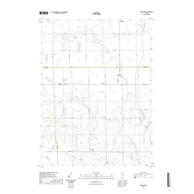 2021 Yorktown2021 Print · USGSCovers Tampico, including Yorktown, Thomas, and other nearby areas
 - 2021 Map of Tampico, 2021 Print
 2021 Tampico2021 Print · USGSCovers Tampico, including Whiteside County, United States, and other nearby areas
 - 2024 Map of Tampico, 2024 Print
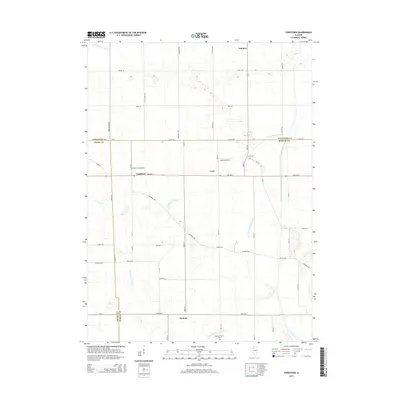
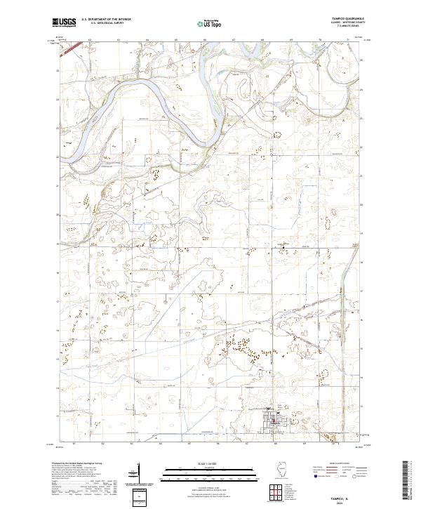 2024 Tampico2024 Print · USGSWhiteside County is shown in this contemporary study of its agricultural landscape and winding waterways. Researchers can trace family history through local landmarks like Old Hume Cem and the village streets of Tampico near Coon Creek.
 - 2024 Map of Yorktown, 2024 Print
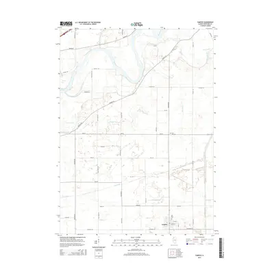
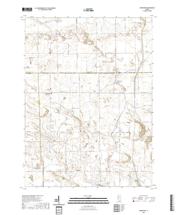 2024 Yorktown2024 Print · USGSThis rural Illinois landscape near the Bureau and Whiteside county lines illustrates the deep agricultural roots of the region. Genealogists can locate small community burial sites like Yorktown Cem and the Fairfield Amish Mennonite Cem.
End of results
Showing maps 1-10 of 10
Top cities near Tampico
- Sterling historical maps
- Rock Falls historical maps
- Morrison historical maps
- Palmyra historical maps
- Prophetstown historical maps
- Walnut historical maps
See more
Frequently asked questions
- What are the different types of historical maps available for Tampico?
- What is the oldest map of Tampico?
- Where can I purchase historical maps of Tampico for my home or office?
- Where can I download high-res historical maps of Tampico?
- Are there historical topographic maps available for Tampico?
- Is there historical aerial imagery available for Tampico?
- Where are historical maps of Tampico sourced from?