2000s (21st Century) Maps of Channahon Township, Illinois
Explore 10 historic maps of Channahon Township from the 2000s (21st Century). These maps offer a rare glimpse into what life looked like during the 2000s — showing old roads, neighborhoods, homes, and landmarks that have changed or disappeared over time.
Whether you're researching your family's past, planning a metal detecting trip, or studying how Channahon Township's landscape evolved across the 2000s, these high-resolution maps are a powerful tool for exploring the history of this region.
- Focus on a specific era: All maps on this page are from the 2000s, giving you a focused view of this time period.
- See what’s changed: Compare century-old streets, trails, and buildings to today's modern landscape using overlays and satellite layers.
- Research with precision: Use these maps for genealogy, historical research, land use analysis, or educational projects.
- View, download, or print: Maps are fully viewable online in high resolution, and can be downloaded or printed for your own records.
Start exploring Channahon Township's history through authentic maps from the 2000s. This is your window into the past.
Channahon Township, IL maps
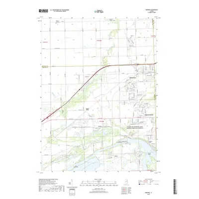
(10)- 2012 Map of Minooka, 2012 Print
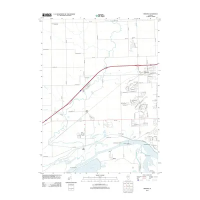 2012 Minooka2012 Print · USGSCovers Channahon Township, including Channahon, Minooka, and other nearby areas
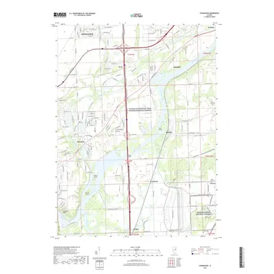
 - 2012 Map of Channahon, 2012 Print
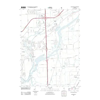 2012 Channahon2012 Print · USGSCovers Channahon Township, including Joliet, Channahon, and other nearby areas
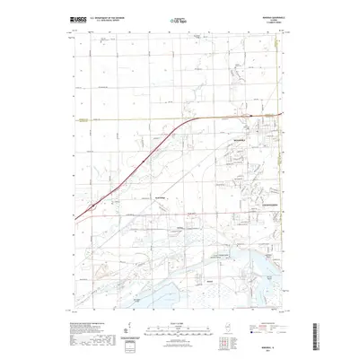
 - 2015 Map of Minooka, 2015 Print
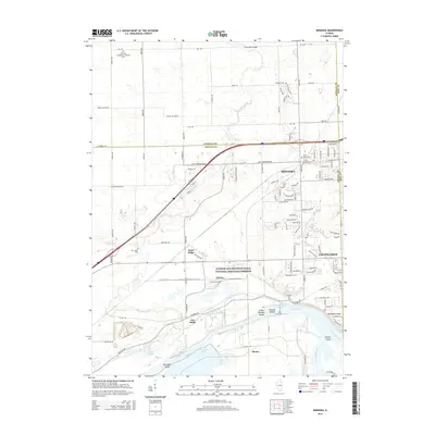 2015 Minooka2015 Print · USGSCovers Channahon Township, including Channahon, Minooka, and other nearby areas
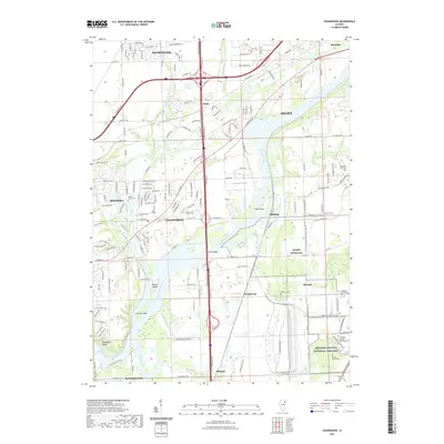
 - 2015 Map of Channahon, 2015 Print
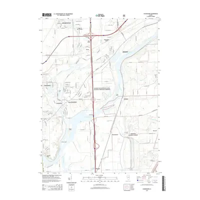 2015 Channahon2015 Print · USGSCovers Channahon Township, including Joliet, Channahon, and other nearby areas
 - 2018 Map of Minooka, 2018 Print
 2018 Minooka2018 Print · USGSCovers Channahon Township, including Channahon, Minooka, and other nearby areas
 - 2018 Map of Channahon, 2018 Print
 2018 Channahon2018 Print · USGSCovers Channahon Township, including Joliet, Channahon, and other nearby areas
 - 2021 Map of Minooka, 2021 Print
 2021 Minooka2021 Print · USGSCovers Channahon Township, including Channahon, Minooka, and other nearby areas
 - 2021 Map of Channahon, 2021 Print
 2021 Channahon2021 Print · USGSCovers Channahon Township, including Joliet, Channahon, and other nearby areas
 - 2024 Map of Minooka, 2024 Print
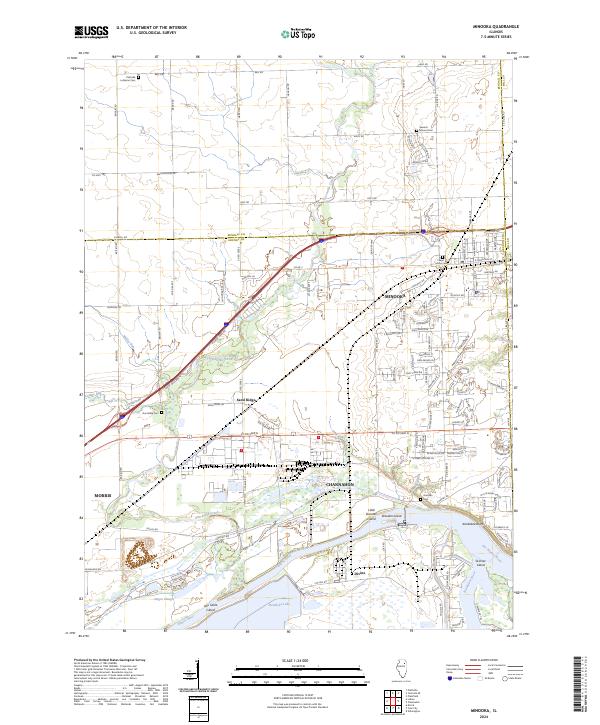 2024 Minooka2024 Print · USGSThe river confluence near Minooka and Channahon comes alive in this detailed look at the modern landscape. Trace family history at Seward Mound Cem or Aux Sable Cem, and explore the river islands like Skinner Island and Dresden Island.
 - 2024 Map of Channahon, 2024 Print
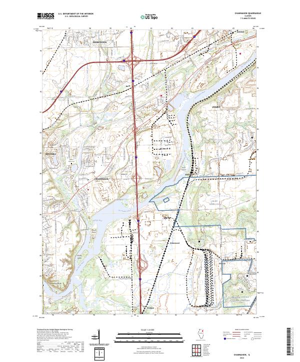 2024 Channahon2024 Print · USGSWill County's river-driven landscape is captured here in the 2020s as suburban growth meets heavy industry. Trace family roots at the Abraham Lincoln National Cem or explore river landmarks like Treat Island and Conroy Island.
End of results
Showing maps 1-10 of 10
Top cities near Channahon Township
- Joliet historical maps
- Bolingbrook historical maps
- Plainfield historical maps
- Romeoville historical maps
- Oswego historical maps
- New Lenox historical maps
See more
Top neighborhoods of Channahon Township
Frequently asked questions
- What are the different types of historical maps available for Channahon Township?
- What is the oldest map of Channahon Township?
- Where can I purchase historical maps of Channahon Township for my home or office?
- Where can I download high-res historical maps of Channahon Township?
- Are there historical topographic maps available for Channahon Township?
- Is there historical aerial imagery available for Channahon Township?
- Where are historical maps of Channahon Township sourced from?