Old Maps of Harlan, Indiana for Hiking & Exploration
Hike through history with 10 historic maps of Harlan. Explore old trails, ghost towns, and forgotten backroads — perfect for outdoor adventurers and local explorers.
- Rediscover forgotten places: Map out old mining camps, roads, and footpaths that no longer exist on modern maps.
- Layer with modern tools: Combine with LiDAR or satellite views to plan hikes through historical terrain.
- Made for exploration: Popular among hikers, overlanders, and local history lovers.
Use these maps to find adventure and explore the hidden past of Harlan.
Harlan, IN maps
(10)- 1953 Map of Fort Wayne, 1963 Print
 1953 Fort Wayne1963 Print · USGSNortheast Indiana and its neighboring borderlands in Michigan and Ohio appear here during a peak era of rail and road expansion. Researchers can trace the massive rail networks of the Nickel Plate Road and Wabash or locate lakeside landmarks like Lake Wawasee and Clear Lake.4 unique versions available
 - 1956 Map of Fort Wayne
 1956 Fort Wayne1956 Print · USGSThe tri-state borderlands of Indiana, Michigan, and Ohio are captured here in the mid-fifties, centered on the growing industrial hub of Fort Wayne. Researchers can trace the heavy rail lines of the New York Central and Pennsylvania alongside prominent water features like Lake Wawasee and the Maumee River.2 unique versions available
 - 1958 Map of Grabill, 1959 Print
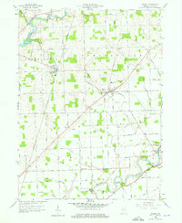 1958 Grabill1959 Print · USGSAllen County farm country and small-town life are documented here in the late fifties. Genealogists and researchers can trace family roots through Grabill, Harlan, and the Salem Cem Ch, or follow the path of the old Wabash and Erie Canal.3 unique versions available
 - 1986 Map of Defiance, 1992 Print
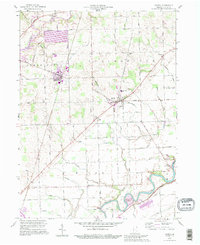
 1986 Defiance1992 Print · USGSNorthwest Ohio and Eastern Indiana appear in the late eighties as a landscape shaped by significant river confluences and rail corridors. Researchers can trace the layout of local towns and landmarks like Defiance College, Forest Hill Cem, and the path of the Norfolk and Western RR.
 - 1992 Map of Grabill, 1995 Print
 1992 Grabill1995 Print · USGSNortheast Indiana's agricultural heartland is documented here in the final decade of the twentieth century, showing the established rail and river towns of Allen County. Family historians can locate family-named sites like Barnett Cem and rural centers such as Grabill and Milan Center.
 - 2010 Map of Grabill, 2010 Print
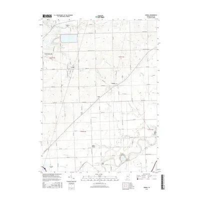
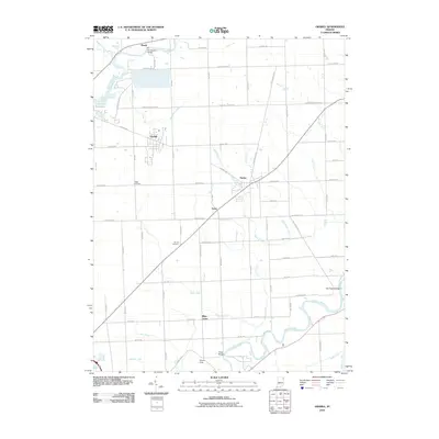 2010 Grabill2010 Print · USGSCovers Harlan, including Leo-Cedarville, Grabill, and other nearby areas
 - 2013 Map of Grabill, 2013 Print
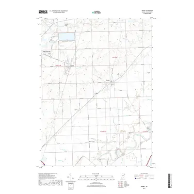
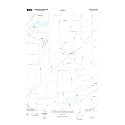 2013 Grabill2013 Print · USGSCovers Harlan, including Leo-Cedarville, Grabill, and other nearby areas
 - 2016 Map of Grabill, 2016 Print
 2016 Grabill2016 Print · USGSCovers Harlan, including Leo-Cedarville, Grabill, and other nearby areas
 - 2019 Map of Grabill, 2019 Print
 2019 Grabill2019 Print · USGSCovers Harlan, including Leo-Cedarville, Grabill, and other nearby areas
 - 2022 Map of Grabill, 2022 Print
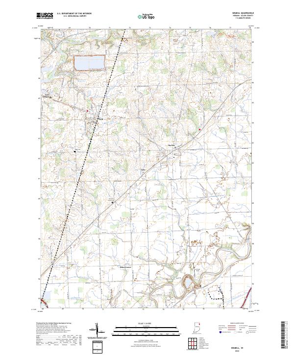 2022 Grabill2022 Print · USGSNortheast Allen County is shown here in the early 2020s, defined by the winding Saint Joseph River and the rural hubs of Grabill and Harlan. Researchers can trace local lineage at Harlan Memorial Cem or explore the massive Hurshtown Reservoir and its surrounding trail systems.
End of results
Showing maps 1-10 of 10
Top cities near Harlan
- Fort Wayne historical maps
- New Haven historical maps
- Auburn historical maps
- Garrett historical maps
- Hicksville historical maps
- Leo-Cedarville historical maps
See more
Frequently asked questions
- What are the different types of historical maps available for Harlan?
- What is the oldest map of Harlan?
- Where can I purchase historical maps of Harlan for my home or office?
- Where can I download high-res historical maps of Harlan?
- Are there historical topographic maps available for Harlan?
- Is there historical aerial imagery available for Harlan?
- Where are historical maps of Harlan sourced from?