
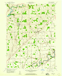
1958 Map of Grabill
USGS Topo · Published 1959About this map
The Maumee River and the St Joseph River carve through Allen County, Indiana, defining the agricultural and industrial landscape recorded in this 1958 survey. The community of Grabill stands out as a focal point of commerce along the Wabash RR, while the smaller settlement of Harlan serves as a rural crossroads anchored by the Harlan High Sch and Township Sch. To the south, the historical legacy of the Wabash and Erie Canal is still visible near the Maumee lowlands, running parallel to the river.
Find a feature on this map
88 named features on this map. Tap any name to fly to it.
Don’t see what you’re looking for? This feature index may not catch every label — zoom into the map to look around manually.
Map Details
Editions of this 1958 Grabill Map
3 editions found
Other maps of this area

1953 · Fort Wayne
USGS Topo · 1:250,000

1956 · Fort Wayne
USGS Topo · 1:250,000

1956 · Fort Wayne East
USGS Topo · 1:24,000

1956 · Cedarville
USGS Topo · 1:24,000

1957 · Auburn
USGS Topo · 1:24,000

1957 · Maples
USGS Topo · 1:24,000

1958 · Hicksville
USGS Topo · 1:24,000

1958 · Woodburn North
USGS Topo · 1:24,000
1958 · Saint Joe
USGS Topo · 1:24,000

1958 · Woodburn South
USGS Topo · 1:24,000