Old Maps of Woodburn, Indiana for Genealogy
Trace your family roots with 16 historic maps of Woodburn. These high-res maps reveal old neighborhoods, homesites, landmarks, and streets — helping you uncover where your ancestors lived and how the area evolved over time.
- Explore historic neighborhoods: Identify where your relatives may have lived in the 1800s or 1900s.
- Compare maps over time: Trace the changes in streets, buildings, and landmarks for multi-generational research.
- Perfect for genealogy & ancestry research: Used by family historians and researchers to map out lineage and migration.
These maps are an incredible resource for exploring your personal connection to Woodburn's past.
Woodburn, IN maps
(16)- 1953 Map of Fort Wayne, 1963 Print
 1953 Fort Wayne1963 Print · USGSNortheast Indiana and its neighboring borderlands in Michigan and Ohio appear here during a peak era of rail and road expansion. Researchers can trace the massive rail networks of the Nickel Plate Road and Wabash or locate lakeside landmarks like Lake Wawasee and Clear Lake.4 unique versions available
 - 1956 Map of Fort Wayne
 1956 Fort Wayne1956 Print · USGSThe tri-state borderlands of Indiana, Michigan, and Ohio are captured here in the mid-fifties, centered on the growing industrial hub of Fort Wayne. Researchers can trace the heavy rail lines of the New York Central and Pennsylvania alongside prominent water features like Lake Wawasee and the Maumee River.2 unique versions available
 - 1958 Map of Woodburn North, 1960 Print
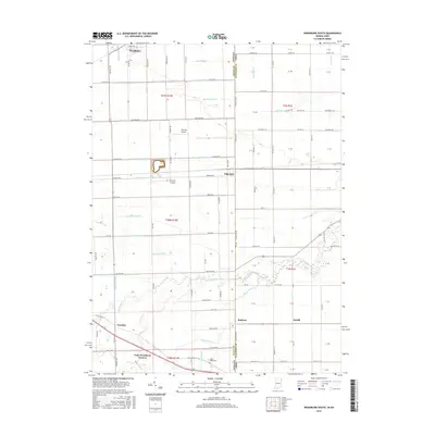
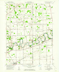 1958 Woodburn North1960 Print · USGSThe Indiana-Ohio borderlands come into focus in the late 1950s, showing a landscape defined by the winding Maumee River and the Wabash Railroad. Genealogists and local historians can locate early landmarks like Bluecast Spring, Hurstown, and Diehl Cem.4 unique versions available
 - 1958 Map of Woodburn South, 1960 Print
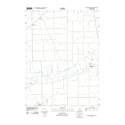
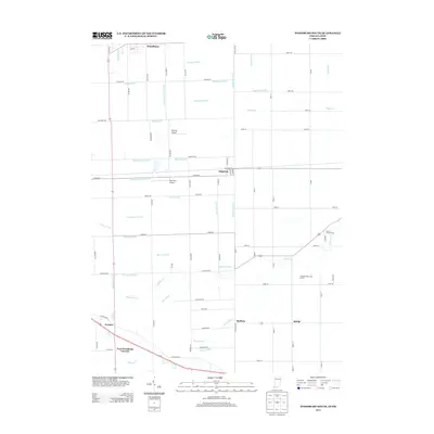
 1958 Woodburn South1960 Print · USGSSettled farmland along the Indiana-Ohio border in the late fifties reveals a landscape defined by rail and drainage. Trace the New York Chicago and St Louis line through Woodburn and Edgerton, or locate the Township Sch and Sugar Ridge Cem.3 unique versions available
 - 1986 Map of Defiance, 1992 Print
 1986 Defiance1992 Print · USGSNorthwest Ohio and Eastern Indiana appear in the late eighties as a landscape shaped by significant river confluences and rail corridors. Researchers can trace the layout of local towns and landmarks like Defiance College, Forest Hill Cem, and the path of the Norfolk and Western RR.
 - 1992 Map of Woodburn South, 1995 Print
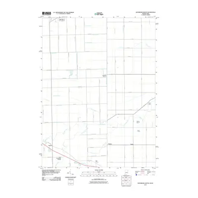
 1992 Woodburn South1995 Print · USGSCrossing the Indiana and Ohio border in the 1990s, this area reflects a deeply rooted agricultural and transport landscape. Family historians can trace local landmarks like Sugar Ridge Cem and the Township Sch along the historic Lincoln Highway.
 - 2010 Map of Woodburn North, 2010 Print
 2010 Woodburn North2010 Print · USGSCovers Woodburn, including Antwerp, Georgetown, and other nearby areas
 - 2010 Map of Woodburn South, 2010 Print
 2010 Woodburn South2010 Print · USGSCovers Woodburn, including Edgerton, Baldwin, and other nearby areas
 - 2013 Map of Woodburn North, 2013 Print
 2013 Woodburn North2013 Print · USGSCovers Woodburn, including Antwerp, Georgetown, and other nearby areas
 - 2013 Map of Woodburn South, 2013 Print
 2013 Woodburn South2013 Print · USGSCovers Woodburn, including Edgerton, Baldwin, and other nearby areas
 - 2016 Map of Woodburn South, 2016 Print
 2016 Woodburn South2016 Print · USGSCovers Woodburn, including Edgerton, Baldwin, and other nearby areas
 - 2016 Map of Woodburn North, 2016 Print
 2016 Woodburn North2016 Print · USGSCovers Woodburn, including Antwerp, Georgetown, and other nearby areas
 - 2019 Map of Woodburn North, 2019 Print
 2019 Woodburn North2019 Print · USGSCovers Woodburn, including Antwerp, Georgetown, and other nearby areas
 - 2019 Map of Woodburn South, 2019 Print
 2019 Woodburn South2019 Print · USGSCovers Woodburn, including Edgerton, Baldwin, and other nearby areas
 - 2022 Map of Woodburn North, 2022 Print
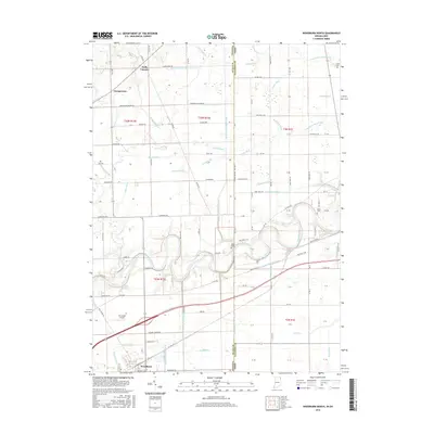
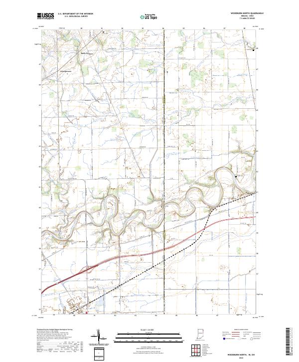 2022 Woodburn North2022 Print · USGSThe Indiana-Ohio borderlands come into focus in this contemporary survey of the Maumee River corridor. Genealogists and researchers can trace the vicinity of Antwerp and Halls Corners, locating old family burial sites like Scipio Cem and Banks Cem.
 - 2022 Map of Woodburn South, 2022 Print
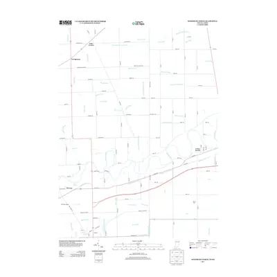
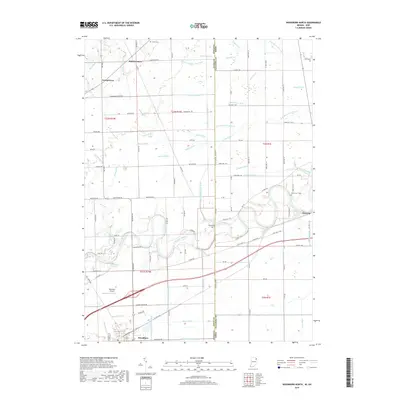
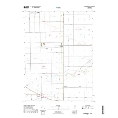
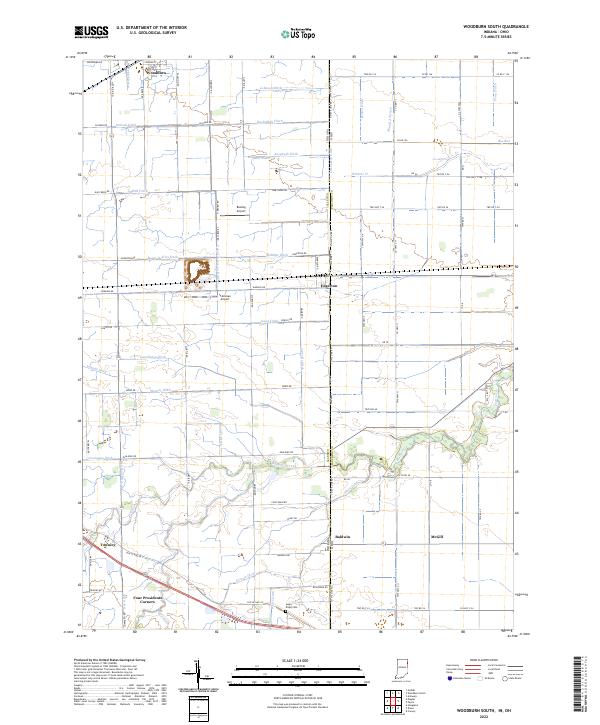 2022 Woodburn South2022 Print · USGSThe Indiana-Ohio borderlands at the start of the 2020s are defined by a meticulous grid of farm roads and drainage ditches. Local historians can trace family-named sites like Sugar Ridge Cem and small rural hubs including Four Presidents Corners, Townley, and Edgerton.
End of results
Showing maps 1-16 of 16
Top cities near Woodburn
- Fort Wayne historical maps
- New Haven historical maps
- Auburn historical maps
- Hicksville historical maps
- Leo-Cedarville historical maps
- Antwerp historical maps
See more
Frequently asked questions
- What are the different types of historical maps available for Woodburn?
- What is the oldest map of Woodburn?
- Where can I purchase historical maps of Woodburn for my home or office?
- Where can I download high-res historical maps of Woodburn?
- Are there historical topographic maps available for Woodburn?
- Is there historical aerial imagery available for Woodburn?
- Where are historical maps of Woodburn sourced from?