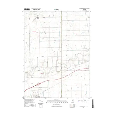
2016 Map of Woodburn North
USGS Topo · Published 2016About this map
The Maumee River meanders across this landscape on the border of Indiana and Ohio, defining the geography of eastern Allen and western Paulding counties. This agricultural region is shaped by an extensive network of drainage features such as Hamm Ditch, Zuber Ditch, and S Br Marie DeLarme Cr, which support the fertile farmland surrounding Woodburn. Of particular interest to historians is the route of the Wabash and Erie Canal, which follows the river's southern bank through the territory. Small rural communities like Halls Corners and Georgetown anchor the road network in the north, while local heritage is preserved in sites like Diehl Cem and Banks Cem. The presence of Bluecast Spring and the Brenneke Airport west of the river adds distinct localized landmarks to this mid-2010s survey of the borderlands.
Find a feature on this map
108 named features on this map. Tap any name to fly to it.
Don’t see what you’re looking for? This feature index may not catch every label — zoom into the map to look around manually.
Map Details
Editions of this 2016 Woodburn North Map
This is the sole edition of this map. No revisions or reprints were ever made.
Other maps of this area

1914 · Bryan
USGS Topo · 1:62,500

1914 · Paulding
USGS Topo · 1:62,500

1943 · Bryan
USGS Topo · 1:62,500

1944 · Paulding
USGS Topo · 1:62,500

1953 · Fort Wayne
USGS Topo · 1:250,000

1956 · Fort Wayne
USGS Topo · 1:250,000

1957 · Maples
USGS Topo · 1:24,000

1958 · Hicksville
USGS Topo · 1:24,000

1958 · Grabill
USGS Topo · 1:24,000

1958 · Woodburn North
USGS Topo · 1:24,000