2020s Maps of Benton County, Indiana
Explore 17 historic maps of Benton County from the 2020s. These maps offer a rare glimpse into what life looked like during the 2020s — showing old roads, neighborhoods, homes, and landmarks that have changed or disappeared over time.
Whether you're researching your family's past, planning a metal detecting trip, or studying how Benton County's landscape evolved across the 2020s, these high-resolution maps are a powerful tool for exploring the history of this region.
- Focus on a specific era: All maps on this page are from the 2020s, giving you a focused view of this time period.
- See what’s changed: Compare century-old streets, trails, and buildings to today's modern landscape using overlays and satellite layers.
- Research with precision: Use these maps for genealogy, historical research, land use analysis, or educational projects.
- View, download, or print: Maps are fully viewable online in high resolution, and can be downloaded or printed for your own records.
Start exploring Benton County's history through authentic maps from the 2020s. This is your window into the past.
Benton County, IN maps
(17)- 2021 Map of Stockland, 2021 Print
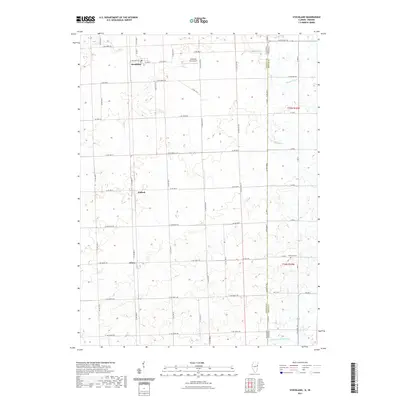 2021 Stockland2021 Print · USGSCovers Benton County, including Stockland, Greer, and other nearby areas
 - 2021 Map of Darrow, 2021 Print
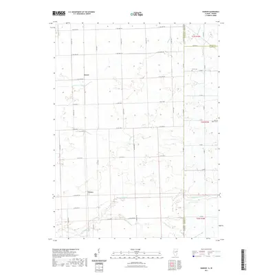 2021 Darrow2021 Print · USGSCovers Benton County, including Darrow, Cutmer, and other nearby areas
 - 2022 Map of Pine Village, 2022 Print
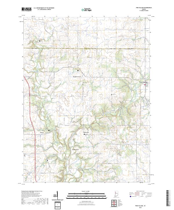 2022 Pine Village2022 Print · USGSWarren and Benton counties at the start of the 2020s show a landscape shaped by creek valleys and crossroads. Researchers can trace local lineage through Rainsville Cem and Jones Cem or locate old settlements like Brisco and Hooker Corner.
 - 2022 Map of Round Grove, 2022 Print
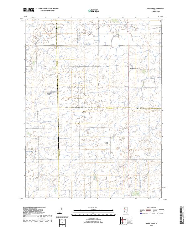 2022 Round Grove2022 Print · USGSThe tri-county borderlands of Tippecanoe, White, and Benton counties are mapped here during the early twenty-first century. Genealogists and local researchers can trace family-named waterworks and rural landmarks like Round Grove, Durftinger Airport, and Darby Ditch.
 - 2022 Map of Boswell, 2022 Print
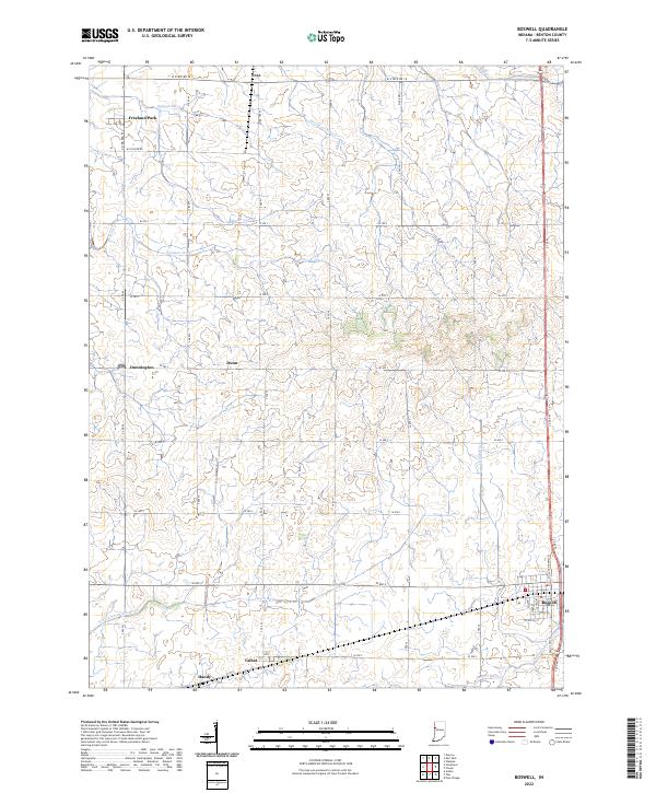 2022 Boswell2022 Print · USGSBenton County's agricultural heartland is documented here in the early twenty-first century, showcasing a landscape defined by its prairie drainage and rail-side settlements. Genealogists and local historians can trace the areas around Boswell, Freeland Park, and Talbot.
 - 2022 Map of Earl Park, 2022 Print
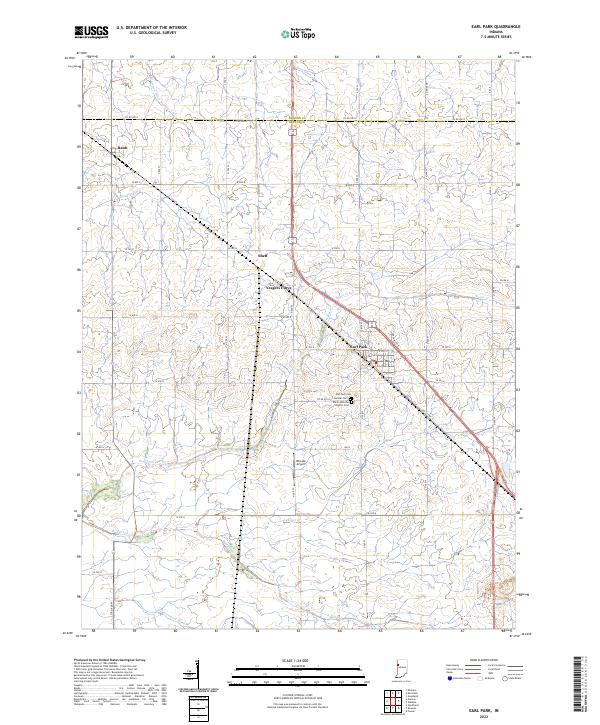 2022 Earl Park2022 Print · USGSBenton County's agricultural heartland is documented here in the early twenty-first century, showing a landscape shaped by rail and water. Researchers can locate family sites near Earl Park Cem, the small community of Raub, or the rural airfield at Rheude Airport.
 - 2022 Map of Chatterton, 2022 Print
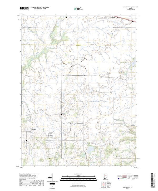 2022 Chatterton2022 Print · USGSThe Benton and Warren County line in the early 2020s remains a landscape of sprawling prairie farms and managed waterways. Genealogists can locate several historic burial sites, including Quaker Cem, James Cem, and Harman Cem, alongside the small settlement of Chatterton.
 - 2022 Map of Wadena, 2022 Print
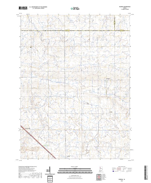 2022 Wadena2022 Print · USGSBenton County farmland is captured here in the modern era, showing the intersection of rural agriculture and traditional crossroads. Genealogists and local historians can trace family land near Lochiel, the Dehner Cem, or the small community of Wadena.
 - 2022 Map of Mount Gilboa, 2022 Print
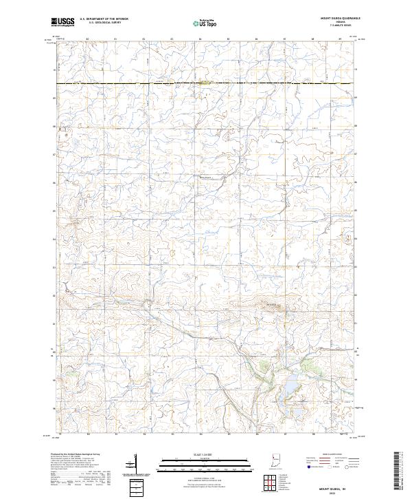 2022 Mount Gilboa2022 Print · USGSBenton and Jasper County farmland is shown in modern detail, where the land is shaped by an extensive network of drainage systems. Researchers can trace the courses of Big Pine Creek and Carpenter Cr or locate landmarks like Mt Gilboa and the Ashby Airport.
 - 2022 Map of Templeton, 2022 Print
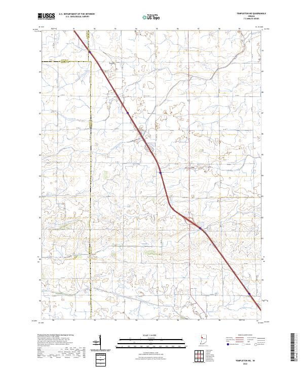
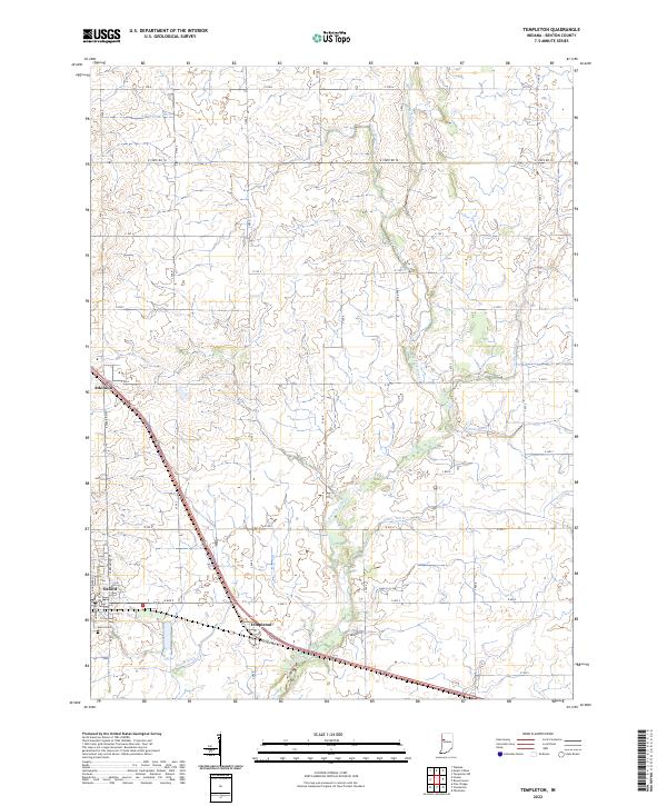 2022 Templeton2022 Print · USGSBenton County's agricultural heartland is documented here in the early twenty-first century, showing the established towns of Oxford and Templeton. Genealogists and local historians can trace family roots near Justus Cem or follow the historic route of Old US Hwy 52.
 - 2022 Map of Fowler, 2022 Print
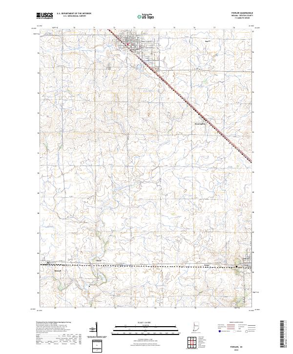 2022 Fowler2022 Print · USGSBenton County agriculture and rail-side settlements are the focus of this recent topographic study of the Indiana plains. Genealogists and local historians can trace legacy sites like the Benton County Courthouse, Perigo Cem, and the small community of Swanington.
 - 2022 Map of Tab, 2022 Print
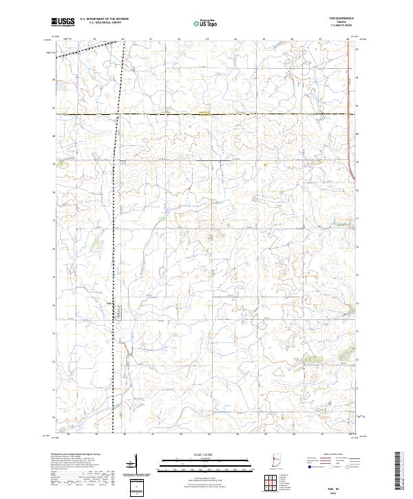 2022 Tab2022 Print · USGSWarren County’s western prairie is seen here in the 2020s, showing a landscape of deep agricultural heritage and small-town roots. Researchers can trace the layout of Tab or follow the paths of Goose Cr and Farrell Ditch across the township lines.
 - 2022 Map of Otterbein, 2022 Print
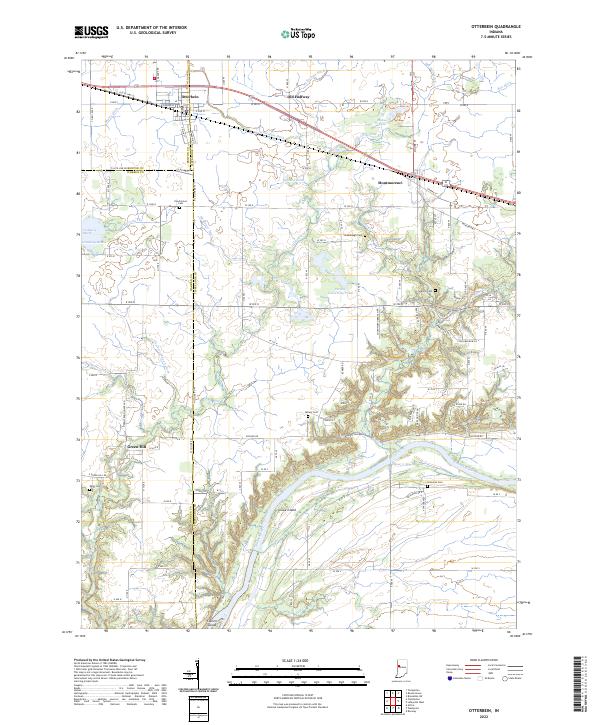 2022 Otterbein2022 Print · USGSThe rural borders of Tippecanoe, Benton, and Warren counties are captured here in the early twenty-first century. Researchers can locate family burial plots at Pond Grove Cem or Granville Cem and trace the drainage of Little Pine Cr to the Wabash River.
 - 2022 Map of Templeton NE, 2022 Print
 2022 Templeton NE2022 Print · USGSThe tri-county junction of Jasper, White, and Benton counties is seen here in the early 2020s, showing a highly managed agricultural landscape. Researchers can trace the complex drainage networks vital to local farming, such as Mason Eastburn Ditch and Big Pine Creek.
 - 2022 Map of Ambia, 2022 Print
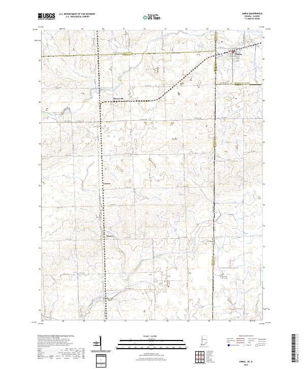 2022 Ambia2022 Print · USGSThe Indiana-Illinois borderlands are captured here in the early 2020s, showing a landscape of fertile prairie and managed waterways. Researchers can trace the layout of small rail-side settlements like Ambia and Cheneyville alongside the N Fork Vermilion River.
 - 2024 Map of Stockland, 2024 Print
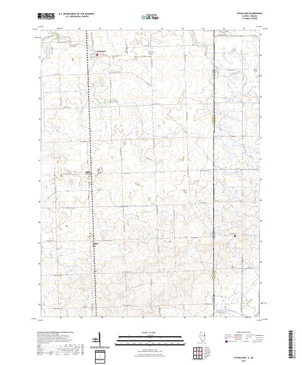 2024 Stockland2024 Print · USGSThe Illinois-Indiana borderlands come into focus in this recent survey of Iroquois County farmland. Researchers can trace rural lineages through local landmarks like Totheroh Cem and the small settlements of Stockland, Hallock, and Greer.
 - 2024 Map of Darrow, 2024 Print
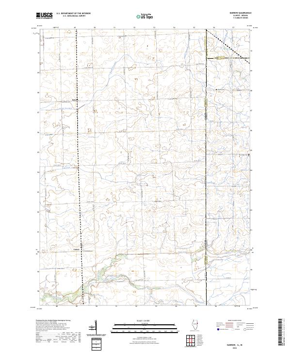 2024 Darrow2024 Print · USGSCrossing the Illinois and Indiana border in the modern day, this area preserves its deep-rooted agricultural character. Researchers can find family landmarks like Fleming Cem and Blue Ridge Cem near the settlements of Darrow and Cutmer.
End of results
Showing maps 1-17 of 17
Top cities of Benton County
- Fowler historical maps
- Oxford historical maps
- Boswell historical maps
- Earl Park historical maps
- Ambia historical maps
Frequently asked questions
- What are the different types of historical maps available for Benton County?
- What is the oldest map of Benton County?
- Where can I purchase historical maps of Benton County for my home or office?
- Where can I download high-res historical maps of Benton County?
- Are there historical topographic maps available for Benton County?
- Is there historical aerial imagery available for Benton County?
- Where are historical maps of Benton County sourced from?