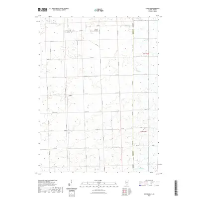
2021 Map of Stockland
USGS Topo · Published 2021About this map
Stockland and the surrounding township in eastern Iroquois County define this landscape along the Illinois and Indiana border. The terrain is deeply shaped by its drainage network, featuring several man-made waterways like Finigan Ditch and Kult Ditch that feed into Mud Cr and the N Fork Vermilion River. These agricultural water management systems are essential to the rural economy of the area, supporting the small hubs of Hallock and Greer. The grid of county roads, such as Co Hwy 9 and Co Hwy 20, connects these remote settlements to local infrastructure, including the private Stichnoth RLA Airport. For those tracing local families, the inclusion of the Totheroh Cem near the state line provides a specific point of interest for genealogical research in this quiet corner of the Midwest.
Find a feature on this map
58 named features on this map. Tap any name to fly to it.
Don’t see what you’re looking for? This feature index may not catch every label — zoom into the map to look around manually.
Map Details
Editions of this 2021 Stockland Map
This is the sole edition of this map. No revisions or reprints were ever made.
Other maps of this area

1933 · Hoopeston
USGS Topo · 1:48,000

1938 · Milford
USGS Topo · 1:48,000

1938 · Hoopeston
USGS Topo · 1:62,500

1944 · Milford
USGS Topo · 1:62,500

1953 · Danville
USGS Topo · 1:250,000

1955 · Danville
USGS Topo · 1:250,000

1956 · Danville
USGS Topo · 1:250,000

1961 · Tab
USGS Topo · 1:24,000

1962 · Boswell
USGS Topo · 1:24,000

1962 · Earl Park
USGS Topo · 1:24,000