Old Maps of Advance, Indiana for Hiking & Exploration
Hike through history with 34 historic maps of Advance. Explore old trails, ghost towns, and forgotten backroads — perfect for outdoor adventurers and local explorers.
- Rediscover forgotten places: Map out old mining camps, roads, and footpaths that no longer exist on modern maps.
- Layer with modern tools: Combine with LiDAR or satellite views to plan hikes through historical terrain.
- Made for exploration: Popular among hikers, overlanders, and local history lovers.
Use these maps to find adventure and explore the hidden past of Advance.
Advance, IN maps
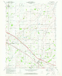
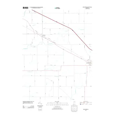
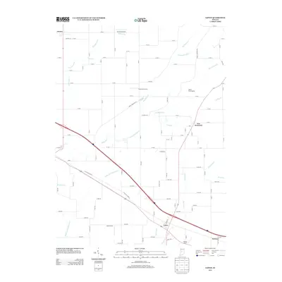
(34)- 1953 Map of Lizton, 1954 Print
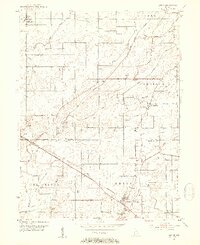 1953 Lizton1954 Print · USGSMid-century Hendricks and Boone counties are captured here during a period of steady agricultural and rail activity. Genealogists can trace family roots through numerous local sites like the Cundiff Cemetery, Old Union Ch, and the New York Central corridor.2 unique versions available
 - 1953 Map of Danville, 1965 Print
 1953 Danville1965 Print · USGSIndiana and Illinois crossroads come to life in this mid-century survey as the interstate era begins to reshape the river-and-rail landscape. Genealogists and collectors can trace the historic paths of the Nickel Plate railroad or locate smaller communities like Veedersburg, Goodland, and Bismarck.3 unique versions available
 - 1953 Map of Indianapolis, 1965 Print
 1953 Indianapolis1965 Print · USGSCentral Indiana and the Illinois borderlands are captured in the mid-sixties, showing the growth of Indianapolis and its industrial rail corridors. Genealogists and historians can trace the development of outlying towns like Zionsville or Beech Grove and find landmarks such as Atterbury AAF and Turkey Run State Park.4 unique versions available
 - 1955 Map of Danville
 1955 Danville1955 Print · USGSThe Indiana-Illinois borderlands during the mid-fifties reveal a landscape of thriving rail hubs and university towns. Researchers can trace the legacy of Purdue University, the Tippecanoe Battlefield, and the path of the Pennsylvania RR.
 - 1956 Map of Danville
 1956 Danville1956 Print · USGSMid-century Indiana and Illinois are captured here as the river-and-rail economy evolved into the modern highway era. Researchers can trace ancestral roots and old transport lines through Logansport, Battle Ground, and the dams at Lake Shafer.
 - 1956 Map of Indianapolis
 1956 Indianapolis1956 Print · USGSCentral Indiana in the mid-fifties is captured during a period of industrial growth and military presence. Genealogists and historians can trace the rail networks of the New York Central or locate regional landmarks like Fort Benjamin Harrison and Camp Atterbury.
 - 1957 Map of Indianapolis
 1957 Indianapolis1957 Print · USGSCentral Indiana in the mid-fifties is captured here as a crossroads of major rail lines and nascent federal highways. Genealogists and historians can trace family-named ridges like Poplar Ridge or locate strategic sites like Camp Atterbury and Speedway.2 unique versions available
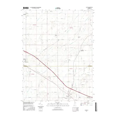
 - 1957 Map of New Ross, 1959 Print
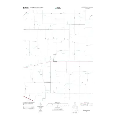
 1957 New Ross1959 Print · USGSThe rail-and-river corridor of central Indiana comes to life in the late fifties, showing the agricultural networks between New Ross and Jamestown. Trace family history through landmarks like Mt Zion Ch and rural burial grounds including New Ross Cem.3 unique versions available
 - 1961 Map of Hazelrigg, 1963 Print
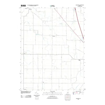
 1961 Hazelrigg1963 Print · USGSBoone County's agricultural and rail-oriented landscape is captured here in the early sixties, showing the vital connection between small towns and the New York Central Railroad. Genealogists and historians can locate family sites near Thorntown, Hazelrigg, and Dover, or trace landmarks like the Township Sch and Pleasant View Cem.2 unique versions available
 - 1961 Map of Shannondale, 1963 Print
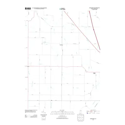
 1961 Shannondale1963 Print · USGSCentral Indiana farm country comes into focus in the early sixties, showing the rural landscape before modern expansion. Genealogists can trace family roots through sites like Shannondale, Log Cabin Crossroads, and the Pisgah Cem.2 unique versions available
 - 1962 Map of Indianapolis
 1962 Indianapolis1962 Print · USGSCentral Indiana and the Illinois borderlands are captured here in the early sixties, showing the region's dense rail networks and growing urban centers. Genealogists and historians can locate family-named landmarks and institutions like Crown Hill Cem, Indiana University, and the Indianapolis Motor Speedway.
 - 1970 Map of Lizton, 1972 Print
 1970 Lizton1972 Print · USGSThe rural border of Boone and Hendricks counties comes to life in the early seventies, centered on the railroad town of Lizton. Genealogists and local historians can trace family ties at the Poplar Grove Cemetery or locate the Pinnell School and Old Union Church.
 - 1984 Map of Lafayette, 1985 Print
 1984 Lafayette1985 Print · USGSNorth-central Indiana thrives in the 1980s as a hub of higher education, industry, and agriculture centered on the Wabash River. Genealogists and historians can locate family sites near Darrough Chapel, Oak Hill Cem, or the small crossroads of Thorntown and Colfax.2 unique versions available
 - 1986 Map of Indianapolis
 1986 Indianapolis1986 Print · USGSThe Indiana capital and its surrounding counties are captured here in the mid-1980s, showcasing the height of its orbital highway development and suburban growth. Researchers can trace the legacy of the Fort Benjamin Harrison Military Reservation, follow the Conrail lines, or locate family roots in Beech Grove, Greencastle, and Zionsville.2 unique versions available
 - 2010 Map of New Ross, 2010 Print
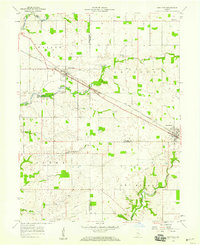
 2010 New Ross2010 Print · USGSCovers Advance, including Jamestown, New Ross, and other nearby areas
 - 2010 Map of Lizton, 2010 Print
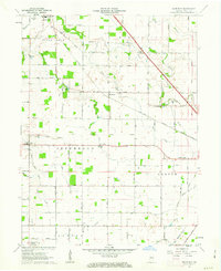
 2010 Lizton2010 Print · USGSCovers Advance, including Jamestown, Lizton, and other nearby areas
 - 2010 Map of Shannondale, 2010 Print
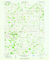
 2010 Shannondale2010 Print · USGSCovers Advance, including Log Cabin Crossroads, Shannondale, and other nearby areas
 - 2010 Map of Hazelrigg, 2010 Print
 2010 Hazelrigg2010 Print · USGSCovers Advance, including Lebanon, Thorntown, and other nearby areas
 - 2013 Map of Shannondale, 2013 Print
 2013 Shannondale2013 Print · USGSCovers Advance, including Log Cabin Crossroads, Shannondale, and other nearby areas
 - 2013 Map of Hazelrigg, 2013 Print
 2013 Hazelrigg2013 Print · USGSCovers Advance, including Lebanon, Thorntown, and other nearby areas
 - 2013 Map of New Ross, 2013 Print
 2013 New Ross2013 Print · USGSCovers Advance, including Jamestown, New Ross, and other nearby areas
 - 2013 Map of Lizton, 2013 Print
 2013 Lizton2013 Print · USGSCovers Advance, including Jamestown, Lizton, and other nearby areas
 - 2016 Map of New Ross, 2016 Print
 2016 New Ross2016 Print · USGSCovers Advance, including Jamestown, New Ross, and other nearby areas
 - 2016 Map of Lizton, 2016 Print
 2016 Lizton2016 Print · USGSCovers Advance, including Jamestown, Lizton, and other nearby areas
 - 2016 Map of Hazelrigg, 2016 Print
 2016 Hazelrigg2016 Print · USGSCovers Advance, including Lebanon, Thorntown, and other nearby areas
Showing maps 1-25 of 34
Top cities near Advance
- Brownsburg historical maps
- Lebanon historical maps
- Avon historical maps
- Danville historical maps
- Pittsboro historical maps
- Thorntown historical maps
See more
Frequently asked questions
- What are the different types of historical maps available for Advance?
- What is the oldest map of Advance?
- Where can I purchase historical maps of Advance for my home or office?
- Where can I download high-res historical maps of Advance?
- Are there historical topographic maps available for Advance?
- Is there historical aerial imagery available for Advance?
- Where are historical maps of Advance sourced from?