Old Maps of Clarksville, Indiana for Hiking & Exploration
Hike through history with 41 historic maps of Clarksville. Explore old trails, ghost towns, and forgotten backroads — perfect for outdoor adventurers and local explorers.
- Rediscover forgotten places: Map out old mining camps, roads, and footpaths that no longer exist on modern maps.
- Layer with modern tools: Combine with LiDAR or satellite views to plan hikes through historical terrain.
- Made for exploration: Popular among hikers, overlanders, and local history lovers.
Use these maps to find adventure and explore the hidden past of Clarksville.
Clarksville, IN maps
(41)- 1905 Map of Prospect, 1962 Print
 1905 Prospect1962 Print · USGSThe Ohio River corridor north of Louisville comes alive in the early 1900s, showing a landscape of river landings and new electric railways. Researchers can find old landmarks like the Lakeland Asylum, the Kentucky Military Institute, and the Antioch Church.
 - 1912 Map of Prospect
 1912 Prospect1912 Print · USGSThe northeastern outskirts of Louisville and the riverbanks of the Ohio River appear here in the early twentieth century. Researchers can trace the development of suburban settlements like Anchorage and St Matthews or locate the sprawling grounds of the Lakeland Asylum.3 unique versions available
 - 1937 Map of Jeffersonville
 1937 Jeffersonville1937 Print · USGSJeffersonville and the northern banks of the Ohio River appear here in the late 1930s, documenting a landscape shaped by early industry and river trade. Researchers can trace the path of the Indiana Railroad (Electric Line) and locate landmarks like Asbury Chapel and Walnut Ridge Cemetery.
 - 1938 Map of Speed
 1938 Speed1938 Print · USGSSouthern Indiana was a busy junction of steam and electric rail at the close of the 1930s. Researchers can trace the dual paths of the Pennsylvania Railroad and Indiana Railroad (Electric) through Sellersburg, Speed, and Memphis.
 - 1939 Map of New Albany
 1939 New Albany1939 Print · USGSThe industrial riverfront of southern Indiana comes alive in this pre-war survey of the Ohio River bend. Genealogists and historians can trace the early footprints of New Albany and Clarksville, locating the County Infirmary, St Marys Cem, and the massive Jeffersonville Military Reservation.
 - 1946 Map of Jeffersonville
 1946 Jeffersonville1946 Print · USGSSouthern Indiana sits at a crossroads of river and rail during the mid-1940s, as the industrial grid of Jeffersonville meets the rural Clark Military Grant. Researchers can trace family roots at Walnut Ridge Cem or locate vanished schoolhouses like Lane Sch and Middle Road Sch.2 unique versions available
 - 1946 Map of New Albany
 1946 New Albany1946 Print · USGSThe Indiana shoreline of the Ohio River bustles with mid-century activity as railroads and bridges connect New Albany to the south. Researchers can trace historic local sites like Blackiston Mill, the County Infirmary, and Graceland Cem near the Falls of the Ohio.2 unique versions available
 - 1947 Map of Speed
 1947 Speed1947 Print · USGSClark County's southern corridor comes alive in the late 1930s and 40s, featuring a dense network of interurban and steam railroads. Trace family roots through rural landmarks like College Hill Sch, Ebenezer Ch, and Smith Cem near the rail-side town of Speed.2 unique versions available
 - 1950 Map of New Albany, 1955 Print
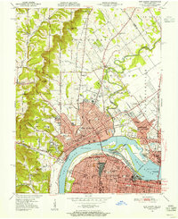 1950 New Albany1955 Print · USGSThe riverfront communities of Indiana and Kentucky meet at the Ohio River during a mid-century period of heavy industry and rail expansion. Genealogists and local historians can locate early burial grounds like Portland Cem, institutional landmarks such as the County Infirmary, and long-standing schools including McCulloch Sch.
 - 1951 Map of Jeffersonville
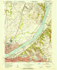 1951 Jeffersonville1951 Print · USGSThe Ohio River corridor near the Falls was a bustling hub of mid-century industry and suburban growth just after the war. Local historians can trace the footprints of the Indiana Arsenal, the Big Four RR Bridge, and old family landmarks from Claysburg to St Matthews.
 - 1951 Map of New Albany
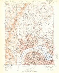 1951 New Albany1951 Print · USGSThe Ohio River waterfront at mid-century shows the industrial heart of New Albany and Louisville linked by massive river and rail works. Genealogists can trace family roots through neighborhood landmarks like Blackiston Mill, Portland Cem, and the Silvercrest State Hospital.2 unique versions available
 - 1955 Map of New Albany, 1956 Print
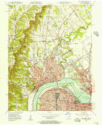 1955 New Albany1956 Print · USGSThe Ohio River separates the growing industrial hubs of New Albany and Louisville in the mid-fifties. Researchers can trace the extensive rail networks and local institutions of the day, from the Falls of the Ohio to the Silvercrest State Hospital.
 - 1955 Map of Jeffersonville, 1957 Print
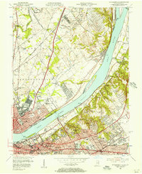 1955 Jeffersonville1957 Print · USGSIn the mid-fifties, the riverfronts of Jeffersonville and Louisville were hubs of industry and suburban expansion. Researchers can trace family sites from Asbury Chapel to the Zachary Taylor National Cemetery, alongside the massive Indiana Arsenal.
 - 1956 Map of Louisville, 1971 Print
 1956 Louisville1971 Print · USGSThe Ohio River valley and the Kentucky Bluegrass are captured here during a period of rapid mid-century growth and industrial activity. Genealogists and historians can trace rail-centered towns and military land use at Fort Knox and the Jefferson Proving Ground.2 unique versions available
 - 1957 Map of Speed, 1958 Print
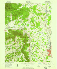 1957 Speed1958 Print · USGSMid-century Clark County comes into focus here as the industrial and rail corridors of Sellersburg and Memphis meet the wooded ridges of the Knobs. Genealogists and historians can trace local landmarks like Atkins Chapel, Hickory Grove Cem, and the old Monon rail line.
 - 1960 Map of Jeffersonville, 1961 Print
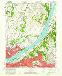 1960 Jeffersonville1961 Print · USGSJeffersonville and Louisville are shown at a peak of mid-century growth as the river-and-rail economy defined the border between Indiana and Kentucky. Researchers can trace historic institutions and transport hubs, including the Zachary Taylor National Cemetery, the Indiana Arsenal, and the State Railway Museum.
 - 1960 Map of New Albany, 1962 Print
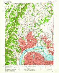 1960 New Albany1962 Print · USGSThe Ohio River borderlands are captured here in the early sixties, showing the industrial heart of New Albany and northern Louisville. Researchers can trace old neighborhood lines through Portland, locate local parish schools like St Marys Sch, and find historical landmarks including Blackiston Mill.
 - 1963 Map of Speed, 1965 Print
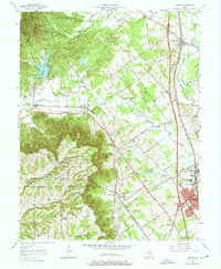 1963 Speed1965 Print · USGSClark County in the early sixties showcases a landscape transitioning from the ridges of Clark State Forest to the industrial hubs along the rail lines. Researchers can trace historic family locations at Atkins Chapel, Bennettsville, and Hickory Grove Cem among the winding southern Indiana creek beds.5 unique versions available
 - 1964 Map of Louisville
 1964 Louisville1964 Print · USGSThe Ohio River valley and Kentucky Bluegrass are captured in the mid-1960s, showing a region balanced between industrial growth and its agrarian roots. Genealogists and historians can trace the development of county seats like Shelbyville and Paris, or locate established institutions such as Georgetown College and Bernheim Forest.
 - 1965 Map of Jeffersonville, 1966 Print
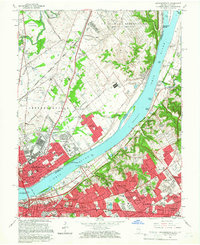 1965 Jeffersonville1966 Print · USGSThe riverfronts of southern Indiana and northern Kentucky are captured here in the mid-sixties, a period of significant suburban expansion. Researchers can trace historic sites like the Locust Grove Historical Home, Zachary Taylor National Cemetery, and the State Railway Museum.2 unique versions available
 - 1965 Map of New Albany, 1966 Print
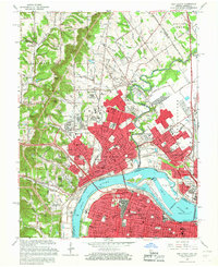 1965 New Albany1966 Print · USGSSpanning the Falls of the Ohio in the mid-sixties, this area shows the vital river connection between New Albany and Louisville. Genealogists and historians can trace neighborhood growth through dozens of named churches and schools, from Blackiston Mill to the McAlpine Locks and Sherman Minton Bridge.2 unique versions available
 - 1982 Map of Jeffersonville
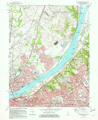 1982 Jeffersonville1982 Print · USGSThe Ohio River corridor flourished in the early eighties as a hub of military industry and suburban expansion. Genealogists and historians can locate burials at Zachary Taylor National Cem or trace the early footprints of St Matthews and Oak Park.2 unique versions available
 - 1982 Map of New Albany
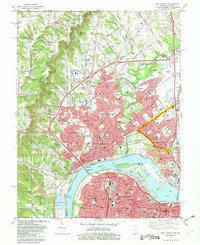 1982 New Albany1982 Print · USGSNew Albany and Louisville face one another across the Ohio River during a period of significant industrial and suburban expansion. Genealogists and historians can trace family sites among numerous landmarks like Blackiston Mill, Fairview Cem, and the Indiana University Southeast Campus.2 unique versions available
 - 1986 Map of Louisville
 1986 Louisville1986 Print · USGSMid-1980s Louisville and southern Indiana are shown here during a decade of significant suburban growth and infrastructure development. Researchers can trace the layout of Cave Hill Cemetery, the expansion of Standiford Field, and industrial sites like the Indiana Army Ammunition Plant.2 unique versions available
 - 1992 Map of New Albany, 1995 Print
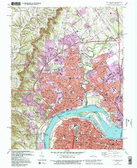 1992 New Albany1995 Print · USGSThe Ohio River corridor comes alive in the early 1990s as it connects New Albany and Clarksville with Louisville. Researchers can trace historic river navigation through McAlpine Locks or locate family sites at Fairview Cem and Blackiston Mill.2 unique versions available
Showing maps 1-25 of 41
Top cities near Clarksville
- Louisville historical maps
- Jeffersonville historical maps
- New Albany historical maps
- Jeffersontown historical maps
- Shively historical maps
- Lyndon historical maps
See more
Top neighborhoods of Clarksville
Frequently asked questions
- What are the different types of historical maps available for Clarksville?
- What is the oldest map of Clarksville?
- Where can I purchase historical maps of Clarksville for my home or office?
- Where can I download high-res historical maps of Clarksville?
- Are there historical topographic maps available for Clarksville?
- Is there historical aerial imagery available for Clarksville?
- Where are historical maps of Clarksville sourced from?