Old Maps of Art, Indiana for Genealogy
Trace your family roots with 13 historic maps of Art. These high-res maps reveal old neighborhoods, homesites, landmarks, and streets — helping you uncover where your ancestors lived and how the area evolved over time.
- Explore historic neighborhoods: Identify where your relatives may have lived in the 1800s or 1900s.
- Compare maps over time: Trace the changes in streets, buildings, and landmarks for multi-generational research.
- Perfect for genealogy & ancestry research: Used by family historians and researchers to map out lineage and migration.
These maps are an incredible resource for exploring your personal connection to Art's past.
Art, IN maps
(13)- 1908 Map of Clay City
 1908 Clay City1908 Print · USGSIndiana's coal and timber country comes alive in the years before the Great War, showing a landscape defined by deep river valleys and early rail lines. Genealogists can trace hundreds of family sites near Clay City and Center Point, or locate historic gathering places like Wesley Chapel and Roadman School.
 - 1910 Map of Clay City
 1910 Clay City1910 Print · USGSClay County at the height of its rail-and-river era shows a landscape shaped by coal transport and agriculture. You can trace the Wabash and Erie Canal, locate the Feederdam Bridge, and find dozens of family-named schoolhouses like Dutch Knob School.2 unique versions available
 - 1953 Map of Indianapolis, 1965 Print
 1953 Indianapolis1965 Print · USGSCentral Indiana and the Illinois borderlands are captured in the mid-sixties, showing the growth of Indianapolis and its industrial rail corridors. Genealogists and historians can trace the development of outlying towns like Zionsville or Beech Grove and find landmarks such as Atterbury AAF and Turkey Run State Park.4 unique versions available
 - 1956 Map of Indianapolis
 1956 Indianapolis1956 Print · USGSCentral Indiana in the mid-fifties is captured during a period of industrial growth and military presence. Genealogists and historians can trace the rail networks of the New York Central or locate regional landmarks like Fort Benjamin Harrison and Camp Atterbury.
 - 1957 Map of Indianapolis
 1957 Indianapolis1957 Print · USGSCentral Indiana in the mid-fifties is captured here as a crossroads of major rail lines and nascent federal highways. Genealogists and historians can trace family-named ridges like Poplar Ridge or locate strategic sites like Camp Atterbury and Speedway.2 unique versions available
 - 1958 Map of Staunton, 1959 Print
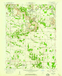 1958 Staunton1959 Print · USGSClay County at the end of the 1950s shows a landscape defined by the rails and the coal seams. You can trace the lineage of local families at Summit Lawn Cem and Mewhinney Cem, or follow the industrial activity of the Pennsylvania railroad near Staunton.4 unique versions available
 - 1962 Map of Indianapolis
 1962 Indianapolis1962 Print · USGSCentral Indiana and the Illinois borderlands are captured here in the early sixties, showing the region's dense rail networks and growing urban centers. Genealogists and historians can locate family-named landmarks and institutions like Crown Hill Cem, Indiana University, and the Indianapolis Motor Speedway.
 - 1986 Map of Terre Haute
 1986 Terre Haute1986 Print · USGSThe Wabash River valley and the coal-rich hills of West-Central Indiana and East-Central Illinois are shown here in the mid-eighties. Genealogists and local historians can trace family-named corners like Barrick Corner, find rural churches like New Hope Ch, and locate industrial landmarks such as the Thunderbird Mine.2 unique versions available
 - 2010 Map of Staunton, 2010 Print
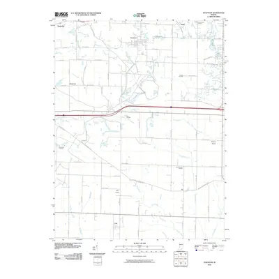 2010 Staunton2010 Print · USGSVigo and Clay Counties are shown here during the first decade of the millennium, a landscape defined by prairie lands and rural townships. Researchers can locate family sites at Summit Lawn Cemetery, trace the path of Honey Creek, or explore the small communities of Art and Cory.
 - 2013 Map of Staunton, 2013 Print
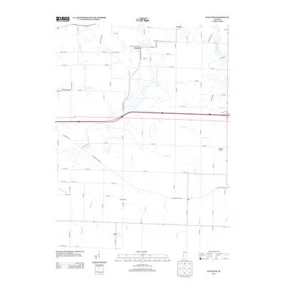 2013 Staunton2013 Print · USGSIndiana's prairie landscapes are meticulously charted here during the early 2010s. Genealogists and local researchers can trace the rural layout of Staunton, find the small settlement of Art, and locate landmarks like Clay Prairie or Big Slough.
 - 2016 Map of Staunton, 2016 Print
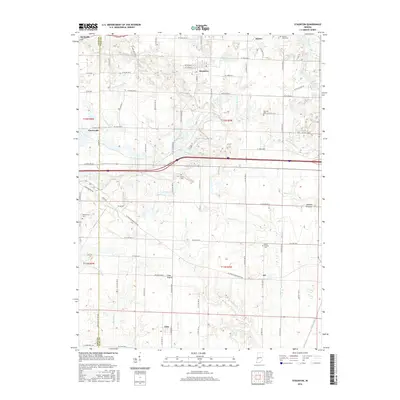 2016 Staunton2016 Print · USGSThe border of Vigo and Clay counties is shown here in the mid-2010s, capturing the enduring rural character of western Indiana. Researchers can trace local lineage through sites like German Cem and Mewhinney Cem or explore the reaches of Clay Prairie and Birch Creek.
 - 2019 Map of Staunton, 2019 Print
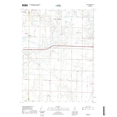 2019 Staunton2019 Print · USGSThe Vigo and Clay County borderlands are captured here in the late twenty-teens, showing the enduring rural layout of western Indiana. Researchers can trace family history through numerous burial sites like German Cem and the small settlements of Staunton and Art.
 - 2022 Map of Staunton, 2022 Print
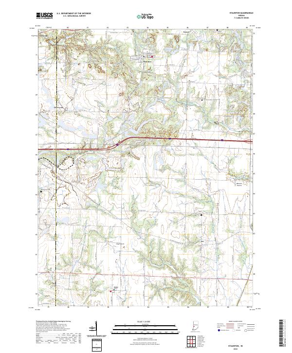 2022 Staunton2022 Print · USGSThe rural landscapes of Clay and Vigo counties are captured here in the early twenty-first century as agricultural traditions meet modern growth. Researchers can trace family sites near Staunton, Cory, and Seelyville or locate ancestors at German Cem and Mount Calvary Cem.
End of results
Showing maps 1-13 of 13
Top cities near Art
- Terre Haute historical maps
- Brazil historical maps
- Farmersburg historical maps
- Seelyville historical maps
- Clay City historical maps
- Hymera historical maps
See more
Frequently asked questions
- What are the different types of historical maps available for Art?
- What is the oldest map of Art?
- Where can I purchase historical maps of Art for my home or office?
- Where can I download high-res historical maps of Art?
- Are there historical topographic maps available for Art?
- Is there historical aerial imagery available for Art?
- Where are historical maps of Art sourced from?