Old Maps of Chesterville, Sparta Township for Academic Research
Study the evolution of Chesterville with 10 high-resolution historic maps. Whether you're teaching, researching, or modeling changes in land use, these maps provide essential visual documentation of urban, environmental, and geographic change.
- Analyze long-term change: Track patterns in development, transportation, and natural features.
- Ideal for environmental or urban studies: Support academic projects with primary historical map data.
- Use in the classroom or lab: Educators and researchers rely on these maps to bring historical context to life.
These maps are a powerful tool for teaching, research, and visualizing how Chesterville has changed over the decades.
Chesterville, Sparta Township maps
(10)- 1953 Map of Cincinnati, 1965 Print
 1953 Cincinnati1965 Print · USGSThe Ohio River valley and the industrial heartland of Indiana and Ohio are captured here during the mid-century peak of rail and river commerce. Genealogists and historians can trace connections between Cincinnati and outlying military sites like Camp Atterbury and Bakalar AFB.3 unique versions available
 - 1957 Map of Cincinnati
 1957 Cincinnati1957 Print · USGSThe Ohio River valley and its surrounding highlands thrived during the mid-fifties industrial peak, centered on the bustling Cincinnati and Dayton metropolitan hubs. Researchers can trace the extensive rail networks and military sites like Wright-Patterson AFB and Camp Atterbury.
 - 1958 Map of Dillsboro, 1960 Print
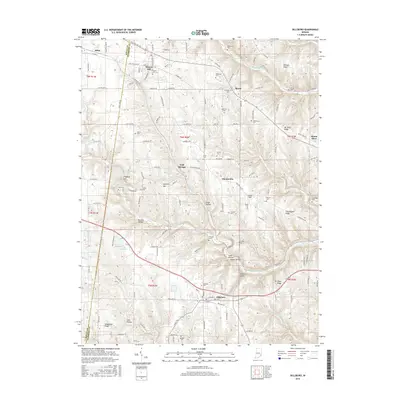
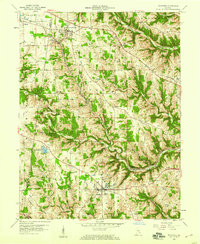 1958 Dillsboro1960 Print · USGSSoutheast Indiana's ridge-and-hollow terrain is meticulously detailed here in the late fifties, showing the interplay between small-town life and the rail corridor. Trace family histories at South Sparta Ch or Forest Hill Cem, and follow the line of the Baltimore and Ohio RR.3 unique versions available
 - 1986 Map of Greensburg
 1986 Greensburg1986 Print · USGSSoutheastern Indiana in the mid-eighties shows a balance of growing industrial centers and deeply rooted rural communities. Family historians can trace landmarks like the Highland Center School, South Park Cemetery, and the Bartholomew County Courthouse among the river forks.2 unique versions available
 - 1992 Map of Dillsboro, 1995 Print
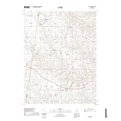
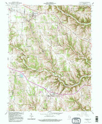 1992 Dillsboro1995 Print · USGSSoutheast Indiana's ridge-and-hollow country is captured here during the late twentieth century as it appeared before major modern development. Genealogists can locate numerous burial sites including Forest Hill Cem and Oakdale Cem, while historians can trace the path of the B & O rail line.
 - 2010 Map of Dillsboro, 2010 Print
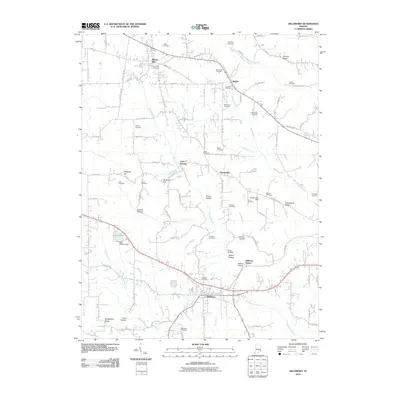 2010 Dillsboro2010 Print · USGSCovers Chesterville, including Sparta, Milan, and other nearby areas
 - 2013 Map of Dillsboro, 2013 Print
 2013 Dillsboro2013 Print · USGSCovers Chesterville, including Sparta, Milan, and other nearby areas
 - 2016 Map of Dillsboro, 2016 Print
 2016 Dillsboro2016 Print · USGSCovers Chesterville, including Sparta, Milan, and other nearby areas
 - 2019 Map of Dillsboro, 2019 Print
 2019 Dillsboro2019 Print · USGSCovers Chesterville, including Sparta, Milan, and other nearby areas
 - 2022 Map of Dillsboro, 2022 Print
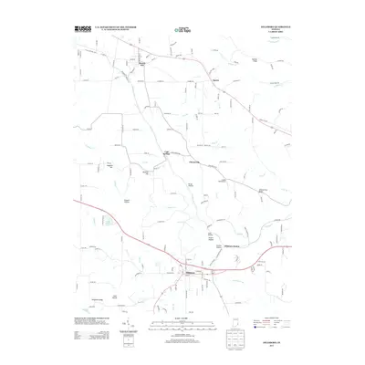
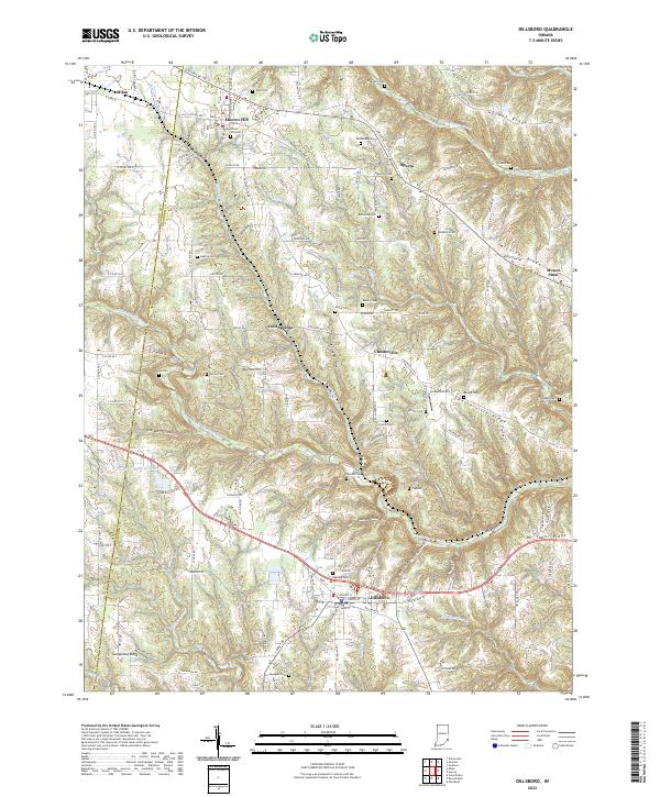 2022 Dillsboro2022 Print · USGSIndiana's Dearborn County ridge country is captured here in the early twenty-first century, showing the enduring rural layout of the region. Genealogists can locate numerous burial sites such as Oakdale Cem and Concord Cem, alongside the CSX Transportation corridor.
End of results
Showing maps 1-10 of 10
Top cities near Chesterville
- Batesville historical maps
- Lawrenceburg historical maps
- Greendale historical maps
- Aurora historical maps
- Sparta historical maps
- Logan historical maps
See more
Frequently asked questions
- What are the different types of historical maps available for Chesterville?
- What is the oldest map of Chesterville?
- Where can I purchase historical maps of Chesterville for my home or office?
- Where can I download high-res historical maps of Chesterville?
- Are there historical topographic maps available for Chesterville?
- Is there historical aerial imagery available for Chesterville?
- Where are historical maps of Chesterville sourced from?