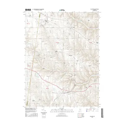
2016 Map of Dillsboro
USGS Topo · Published 2016About this map
Dillsboro and Moores Hill serve as the primary residential hubs in this portion of Dearborn and Ripley counties, connected by a network of rural roads and the Railroad Ln corridor. The landscape is defined by the carved valleys of North Hogan Creek and South Hogan Creek, which have created prominent elevations such as Holman Ridge and Mt Sinai Ridge. This topography has historically dictated the placement of small communities like Sparta and Chesterville, which sit atop higher ground between the winding creek beds and hollows like Kruse Hollow and Possum Hollow.
Find a feature on this map
126 named features on this map. Tap any name to fly to it.
Don’t see what you’re looking for? This feature index may not catch every label — zoom into the map to look around manually.
Map Details
Editions of this 2016 Dillsboro Map
This is the sole edition of this map. No revisions or reprints were ever made.
Other maps of this area

1915 · Lawrenceburg
USGS Topo · 1:48,000

1928 · Lawrenceburg
USGS Topo · 1:62,500

1932 · Lawrenceburg
USGS Topo · 1:62,500

1943 · Aberdeen
USGS Topo · 1:24,000

1943 · Aurora
USGS Topo · 1:24,000

1943 · Guilford
USGS Topo · 1:24,000

1946 · Milan
USGS Topo · 1:24,000

1946 · Pierceville
USGS Topo · 1:24,000

1953 · Aberdeen
USGS Topo · 1:24,000

1953 · Aurora
USGS Topo · 1:24,000