Old Maps of Auburn, Indiana for Genealogy
Trace your family roots with 18 historic maps of Auburn. These high-res maps reveal old neighborhoods, homesites, landmarks, and streets — helping you uncover where your ancestors lived and how the area evolved over time.
- Explore historic neighborhoods: Identify where your relatives may have lived in the 1800s or 1900s.
- Compare maps over time: Trace the changes in streets, buildings, and landmarks for multi-generational research.
- Perfect for genealogy & ancestry research: Used by family historians and researchers to map out lineage and migration.
These maps are an incredible resource for exploring your personal connection to Auburn's past.
Auburn, IN maps
(18)- 1953 Map of Fort Wayne, 1963 Print
 1953 Fort Wayne1963 Print · USGSNortheast Indiana and its neighboring borderlands in Michigan and Ohio appear here during a peak era of rail and road expansion. Researchers can trace the massive rail networks of the Nickel Plate Road and Wabash or locate lakeside landmarks like Lake Wawasee and Clear Lake.4 unique versions available
 - 1956 Map of Fort Wayne
 1956 Fort Wayne1956 Print · USGSThe tri-state borderlands of Indiana, Michigan, and Ohio are captured here in the mid-fifties, centered on the growing industrial hub of Fort Wayne. Researchers can trace the heavy rail lines of the New York Central and Pennsylvania alongside prominent water features like Lake Wawasee and the Maumee River.2 unique versions available
 - 1957 Map of Auburn, 1959 Print
 1957 Auburn1959 Print · USGSDeKalb County in the late fifties is a landscape defined by its vital rail junctions and organized farm townships. Genealogists can trace family names and sites across Auburn Junction, Roselawn Cem, and rural schoolhouses like Harrison Sch.
 - 1957 Map of Waterloo, 1959 Print
 1957 Waterloo1959 Print · USGSDeKalb County is captured here in the late fifties, showing a landscape defined by rail lines and rural community centers. Genealogists can locate family landmarks such as the De Kalb County Home, St Michaels Ch, and the Tamarack Cem.
 - 1973 Map of Waterloo, 1974 Print
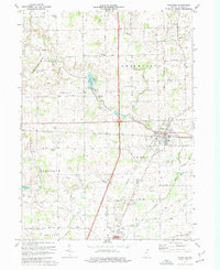 1973 Waterloo1974 Print · USGSDeKalb County in the early seventies shows a landscape of busy rail corridors and quiet rural crossroads. Genealogists can locate several family landmarks and community centers, including Sedan, Cedar Lake Church, and the Tamerack Cemetery.2 unique versions available
 - 1973 Map of Auburn, 1975 Print
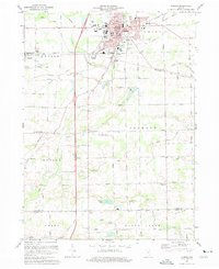 1973 Auburn1975 Print · USGSAuburn and the surrounding DeKalb County townships are captured here in the early seventies, showcasing a thriving hub of rail and agriculture. Genealogists and local historians can trace family locations near Harrison Sch, Roselawn Cem, or the rural crossroads of Saint Johns and New Era.2 unique versions available
 - 1984 Map of Fort Wayne, 1985 Print
 1984 Fort Wayne1985 Print · USGSNortheast Indiana in the mid-1980s reveals a complex landscape of glacial lakes, thriving college towns, and heavy rail infrastructure. Researchers can trace the development of Winona Lake, locate Manchester College in North Manchester, and find rural landmarks like Oakwood Cem or the Tri-County State Fish and Game Area.
 - 1994 Map of Fort Wayne
 1994 Fort Wayne1994 Print · USGSNortheast Indiana in the mid-nineties shows a landscape deeply tied to its glacial lakes and early rail networks. Genealogists and historians can trace old transit lines like the Old Ind RR and explore lakeside settlements such as Enchanted Hills and Syracuse.
 - 2010 Map of Waterloo, 2010 Print
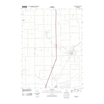 2010 Waterloo2010 Print · USGSDeKalb County at the start of the decade shows a landscape where historic rural settlements meet modern infrastructure. Genealogists can locate family burial sites at Tamarack Cemetery and Sedan Cemetery or trace the early community footprints of Sedan and Fairfield Center.
 - 2010 Map of Auburn, 2010 Print
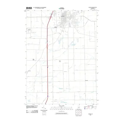 2010 Auburn2010 Print · USGSDeKalb County’s rural crossroads and growing city centers are documented here in the early twenty-first century. Researchers can trace the legacy of local families through landmarks like Roselawn Cemetery and small communities such as New Era and Hopewell.
 - 2013 Map of Waterloo, 2013 Print
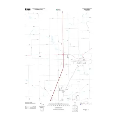 2013 Waterloo2013 Print · USGSWaterloo and its rural surroundings in DeKalb County are documented here in the early twenty-first century. Genealogists and local historians can trace the street grids of Waterloo and the settlement at Sedan, as well as the intricate drainage system including Swartz Ditch and Cedar Cr.
 - 2013 Map of Auburn, 2013 Print
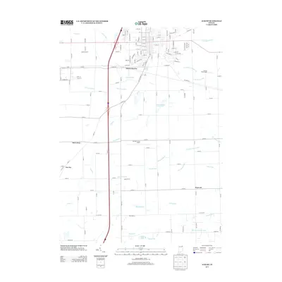 2013 Auburn2013 Print · USGSDeKalb County at the start of the 2010s shows a landscape of steady growth and agricultural heritage. Genealogists and historians can trace the roads connecting Auburn Junction to the outlying settlements of Saint Johns and New Era.
 - 2016 Map of Waterloo, 2016 Print
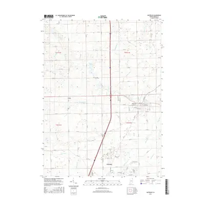 2016 Waterloo2016 Print · USGSThe crossroads of northeastern Indiana come into focus here during the early twenty-first century, centered on Waterloo and the northern reach of Auburn. Researchers can pinpoint family history at Sedan Cem or trace the intricate drainage of Swartz Ditch and Cedar Cr.
 - 2016 Map of Auburn, 2016 Print
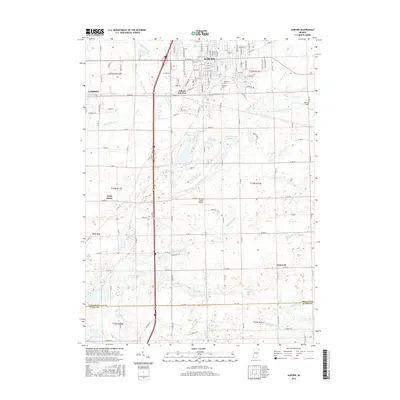 2016 Auburn2016 Print · USGSThe city of Auburn and its industrial neighbors at the turn of the century show a landscape shaped by rail and water engineering. Genealogists and local historians can trace the development of Auburn, Auburn Junction, and Garrett alongside historic sites like Woodlawn Cem and Saint Johns.
 - 2019 Map of Waterloo, 2019 Print
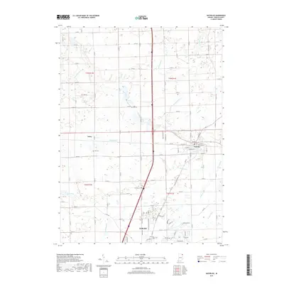 2019 Waterloo2019 Print · USGSDeKalb County at the end of the 2010s shows a landscape of established towns and precision-drained farmland. Researchers can locate family sites at Tamarack Cem and Sedan Cem or trace the drainage paths of Swartz Ditch and Cedar Cr.
 - 2019 Map of Auburn, 2019 Print
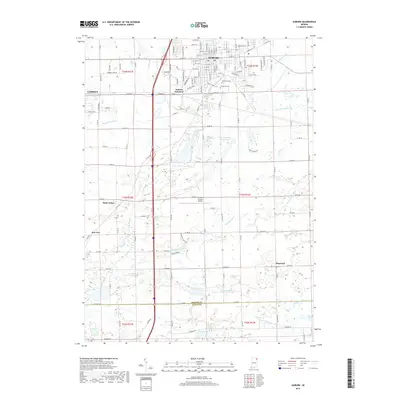 2019 Auburn2019 Print · USGSAuburn and Garrett are shown during their modern development in the late 2010s, surrounded by a complex web of historic ditches and rural townships. Trace family roots at Woodlawn Cem, find the early crossroads at Saint Johns, or follow the rail lines through Auburn Junction.
 - 2022 Map of Auburn, 2022 Print
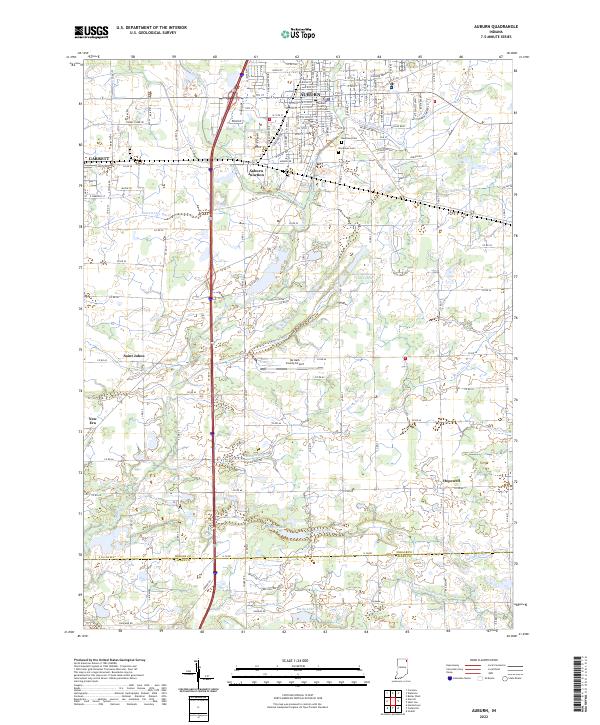 2022 Auburn2022 Print · USGSDeKalb County enters the 2020s as a hub of municipal growth and complex drainage systems. Researchers can trace the layout of Auburn and Garrett, alongside smaller locales like New Era and landmarks such as the DeKalb County Courthouse.
 - 2022 Map of Waterloo, 2022 Print
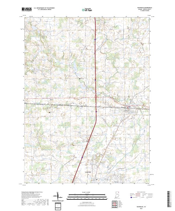 2022 Waterloo2022 Print · USGSDeKalb County enters the 2020s as a landscape of managed waterways and historic crossroads at Waterloo and Sedan. Genealogists and local historians can locate rural burial sites like Tamarack Cem and Cedar Lake Cem amidst a complex network of agricultural channels.
End of results
Showing maps 1-18 of 18
Top cities near Auburn
- Fort Wayne historical maps
- Kendallville historical maps
- Garrett historical maps
- Leo-Cedarville historical maps
- Butler historical maps
- Avilla historical maps
See more
Top neighborhoods of Auburn
Frequently asked questions
- What are the different types of historical maps available for Auburn?
- What is the oldest map of Auburn?
- Where can I purchase historical maps of Auburn for my home or office?
- Where can I download high-res historical maps of Auburn?
- Are there historical topographic maps available for Auburn?
- Is there historical aerial imagery available for Auburn?
- Where are historical maps of Auburn sourced from?