Old Maps of Auburn, Indiana for Metal Detecting
Plan your next treasure hunt with 18 historic maps of Auburn. Find old homesites, ghost towns, trails, and gathering spots that may be lost to time — perfect for identifying promising metal detecting locations.
- Locate forgotten sites: Uncover places like long-lost settlements, abandoned rail lines, or gathering spots.
- Plan better hunts: Use map overlays combined with LiDAR or satellite views to narrow in on historically rich areas.
- Made for detectorists: Thousands of hobbyists use these maps to discover relics, coins, and hidden history.
Use these historic maps to boost your research and find new opportunities beneath the surface of Auburn.
Auburn, IN maps
(18)- 1953 Map of Fort Wayne, 1963 Print
 1953 Fort Wayne1963 Print · USGSNortheast Indiana and its neighboring borderlands in Michigan and Ohio appear here during a peak era of rail and road expansion. Researchers can trace the massive rail networks of the Nickel Plate Road and Wabash or locate lakeside landmarks like Lake Wawasee and Clear Lake.4 unique versions available
 - 1956 Map of Fort Wayne
 1956 Fort Wayne1956 Print · USGSThe tri-state borderlands of Indiana, Michigan, and Ohio are captured here in the mid-fifties, centered on the growing industrial hub of Fort Wayne. Researchers can trace the heavy rail lines of the New York Central and Pennsylvania alongside prominent water features like Lake Wawasee and the Maumee River.2 unique versions available
 - 1957 Map of Auburn, 1959 Print
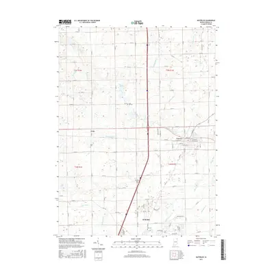
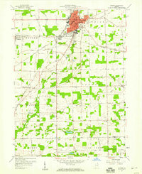 1957 Auburn1959 Print · USGSDeKalb County in the late fifties is a landscape defined by its vital rail junctions and organized farm townships. Genealogists can trace family names and sites across Auburn Junction, Roselawn Cem, and rural schoolhouses like Harrison Sch.
 - 1957 Map of Waterloo, 1959 Print
 1957 Waterloo1959 Print · USGSDeKalb County is captured here in the late fifties, showing a landscape defined by rail lines and rural community centers. Genealogists can locate family landmarks such as the De Kalb County Home, St Michaels Ch, and the Tamarack Cem.
 - 1973 Map of Waterloo, 1974 Print
 1973 Waterloo1974 Print · USGSDeKalb County in the early seventies shows a landscape of busy rail corridors and quiet rural crossroads. Genealogists can locate several family landmarks and community centers, including Sedan, Cedar Lake Church, and the Tamerack Cemetery.2 unique versions available
 - 1973 Map of Auburn, 1975 Print
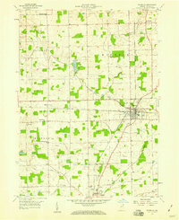
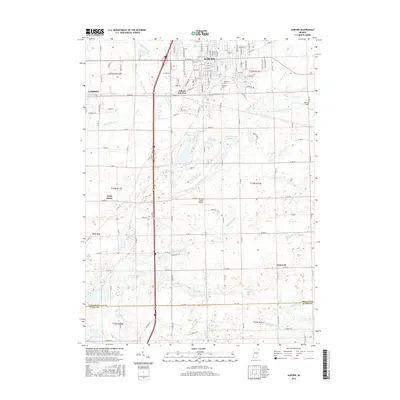
 1973 Auburn1975 Print · USGSAuburn and the surrounding DeKalb County townships are captured here in the early seventies, showcasing a thriving hub of rail and agriculture. Genealogists and local historians can trace family locations near Harrison Sch, Roselawn Cem, or the rural crossroads of Saint Johns and New Era.2 unique versions available
 - 1984 Map of Fort Wayne, 1985 Print
 1984 Fort Wayne1985 Print · USGSNortheast Indiana in the mid-1980s reveals a complex landscape of glacial lakes, thriving college towns, and heavy rail infrastructure. Researchers can trace the development of Winona Lake, locate Manchester College in North Manchester, and find rural landmarks like Oakwood Cem or the Tri-County State Fish and Game Area.
 - 1994 Map of Fort Wayne
 1994 Fort Wayne1994 Print · USGSNortheast Indiana in the mid-nineties shows a landscape deeply tied to its glacial lakes and early rail networks. Genealogists and historians can trace old transit lines like the Old Ind RR and explore lakeside settlements such as Enchanted Hills and Syracuse.
 - 2010 Map of Waterloo, 2010 Print
 2010 Waterloo2010 Print · USGSCovers Auburn, including Waterloo, Sedan, and other nearby areas
 - 2010 Map of Auburn, 2010 Print
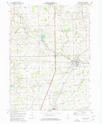
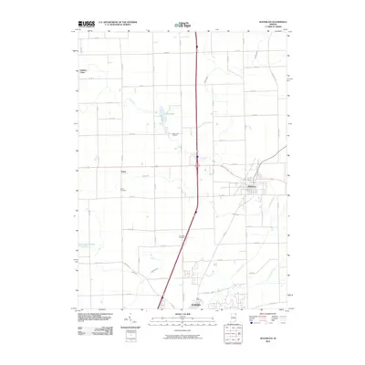
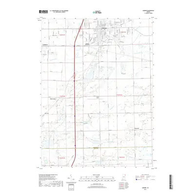
 2010 Auburn2010 Print · USGSCovers Auburn, including Garrett, Auburn Junction, and other nearby areas
 - 2013 Map of Waterloo, 2013 Print
 2013 Waterloo2013 Print · USGSCovers Auburn, including Waterloo, Sedan, and other nearby areas
 - 2013 Map of Auburn, 2013 Print
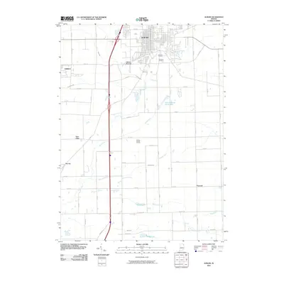
 2013 Auburn2013 Print · USGSCovers Auburn, including Garrett, Auburn Junction, and other nearby areas
 - 2016 Map of Waterloo, 2016 Print
 2016 Waterloo2016 Print · USGSCovers Auburn, including Waterloo, Sedan, and other nearby areas
 - 2016 Map of Auburn, 2016 Print
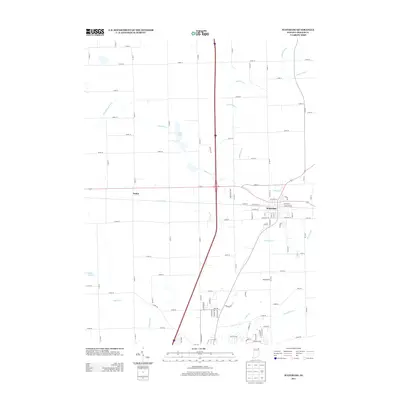
 2016 Auburn2016 Print · USGSCovers Auburn, including Garrett, Auburn Junction, and other nearby areas
 - 2019 Map of Waterloo, 2019 Print
 2019 Waterloo2019 Print · USGSCovers Auburn, including Waterloo, Sedan, and other nearby areas
 - 2019 Map of Auburn, 2019 Print
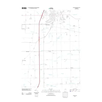
 2019 Auburn2019 Print · USGSCovers Auburn, including Garrett, Auburn Junction, and other nearby areas
 - 2022 Map of Auburn, 2022 Print
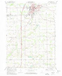
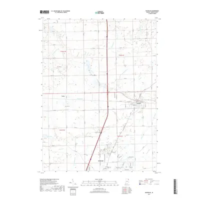
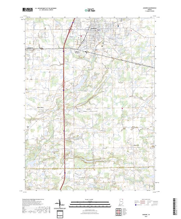 2022 Auburn2022 Print · USGSDeKalb County enters the 2020s as a hub of municipal growth and complex drainage systems. Researchers can trace the layout of Auburn and Garrett, alongside smaller locales like New Era and landmarks such as the DeKalb County Courthouse.
 - 2022 Map of Waterloo, 2022 Print
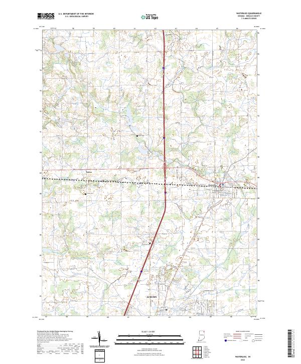 2022 Waterloo2022 Print · USGSDeKalb County enters the 2020s as a landscape of managed waterways and historic crossroads at Waterloo and Sedan. Genealogists and local historians can locate rural burial sites like Tamarack Cem and Cedar Lake Cem amidst a complex network of agricultural channels.
End of results
Showing maps 1-18 of 18
Top cities near Auburn
- Fort Wayne historical maps
- Kendallville historical maps
- Garrett historical maps
- Leo-Cedarville historical maps
- Butler historical maps
- Avilla historical maps
See more
Top neighborhoods of Auburn
Frequently asked questions
- What are the different types of historical maps available for Auburn?
- What is the oldest map of Auburn?
- Where can I purchase historical maps of Auburn for my home or office?
- Where can I download high-res historical maps of Auburn?
- Are there historical topographic maps available for Auburn?
- Is there historical aerial imagery available for Auburn?
- Where are historical maps of Auburn sourced from?