Old Maps of Gaston, Indiana for Hiking & Exploration
Hike through history with 15 historic maps of Gaston. Explore old trails, ghost towns, and forgotten backroads — perfect for outdoor adventurers and local explorers.
- Rediscover forgotten places: Map out old mining camps, roads, and footpaths that no longer exist on modern maps.
- Layer with modern tools: Combine with LiDAR or satellite views to plan hikes through historical terrain.
- Made for exploration: Popular among hikers, overlanders, and local history lovers.
Use these maps to find adventure and explore the hidden past of Gaston.
Gaston, IN maps
(15)- 1953 Map of Muncie, 1966 Print
 1953 Muncie1966 Print · USGSIndiana and Ohio borderlands thrive in the early fifties, showing a landscape defined by manufacturing cities and an intensive railroad network. Genealogists can trace family roots across the Indiana-Ohio line through Muncie, Celina, and Portland via the Pennsylvania railroad.5 unique versions available
 - 1956 Map of Muncie
 1956 Muncie1956 Print · USGSEastern Indiana and western Ohio are shown at a peak of rail-driven industry in the mid-fifties. Genealogists and rail historians can trace the paths of the Pennsylvania RR through Muncie or locate landmarks like Lake Saint Marys (Grand Lake Reservoir) and Frances Slocum State Forest.
 - 1960 Map of Wheeling, 1961 Print
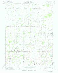
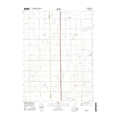
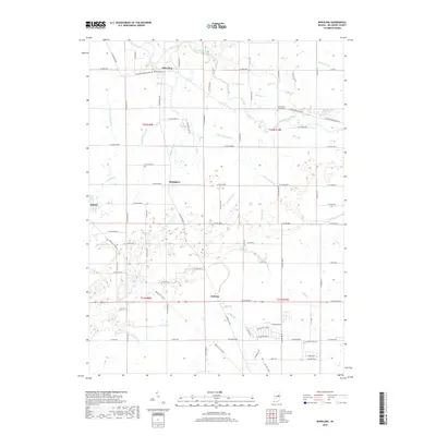
 1960 Wheeling1961 Print · USGSMid-century Delaware County centers on the Mississinewa River as it winds through a landscape of rail-connected farming communities. Researchers can trace family roots through several country churches and cemeteries, including Corinth Ch, Olive Chapel, and Mt Zion Cem.4 unique versions available
 - 1960 Map of Gaston, 1961 Print
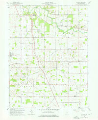
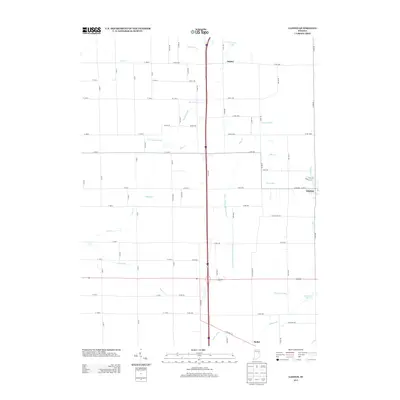
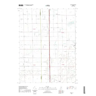
 1960 Gaston1961 Print · USGSThe rural borderlands of Madison and Delaware counties are captured in the early sixties as agricultural life and rail commerce intersect. Researchers can locate family roots and local landmarks like Epworth Ch, Thompson Cem, and the Chesapeake and Ohio railroad.4 unique versions available
 - 1986 Map of Muncie
 1986 Muncie1986 Print · USGSEast Central Indiana was a hub of manufacturing and higher education in the mid-eighties. Genealogists and historians can trace the streets of Muncie, locate rural Cem sites, and explore landmarks like Mounds State Park and Taylor Univ.3 unique versions available
 - 2010 Map of Gaston, 2010 Print
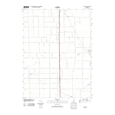 2010 Gaston2010 Print · USGSCovers Gaston, including Bethel, Janney, and other nearby areas
 - 2010 Map of Wheeling, 2010 Print
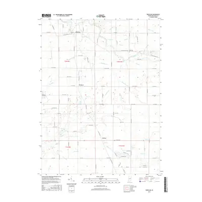
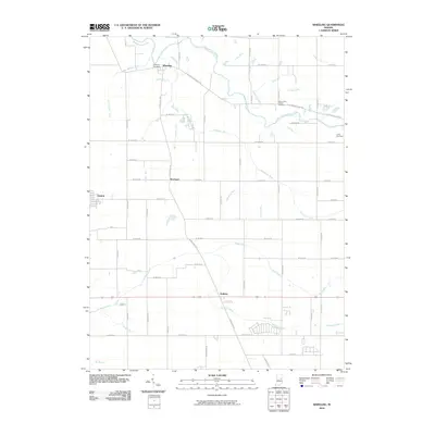 2010 Wheeling2010 Print · USGSCovers Gaston, including Stockport, Wheeling, and other nearby areas
 - 2013 Map of Gaston, 2013 Print
 2013 Gaston2013 Print · USGSCovers Gaston, including Bethel, Janney, and other nearby areas
 - 2013 Map of Wheeling, 2013 Print
 2013 Wheeling2013 Print · USGSCovers Gaston, including Stockport, Wheeling, and other nearby areas
 - 2016 Map of Wheeling, 2016 Print
 2016 Wheeling2016 Print · USGSCovers Gaston, including Stockport, Wheeling, and other nearby areas
 - 2016 Map of Gaston, 2016 Print
 2016 Gaston2016 Print · USGSCovers Gaston, including Bethel, Janney, and other nearby areas
 - 2019 Map of Gaston, 2019 Print
 2019 Gaston2019 Print · USGSCovers Gaston, including Bethel, Janney, and other nearby areas
 - 2019 Map of Wheeling, 2019 Print
 2019 Wheeling2019 Print · USGSCovers Gaston, including Stockport, Wheeling, and other nearby areas
 - 2022 Map of Wheeling, 2022 Print
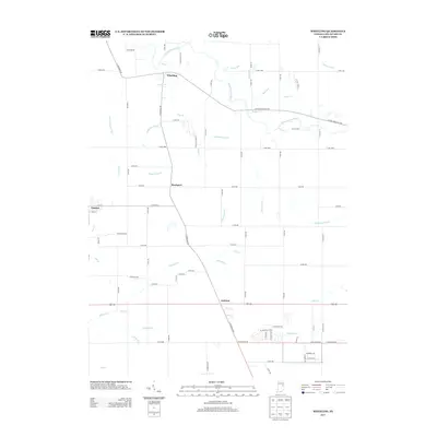
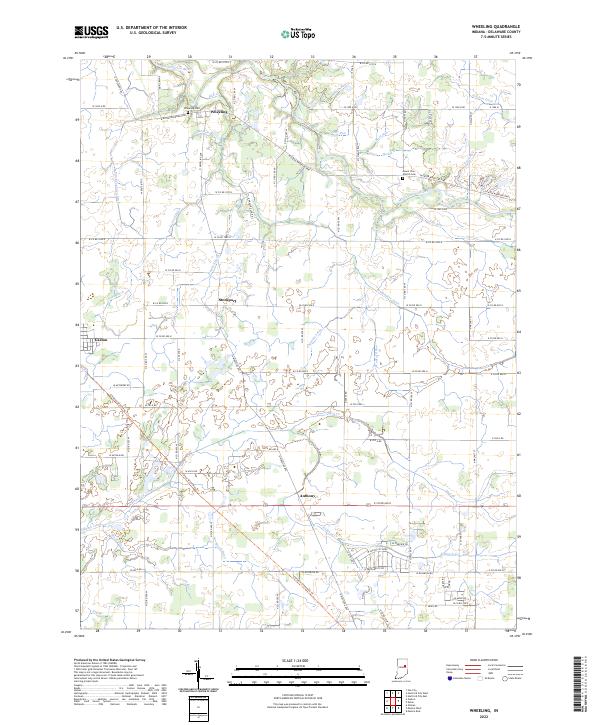 2022 Wheeling2022 Print · USGSDelaware County, Indiana, is captured in this modern survey of the area around the Mississinewa River. Researchers can trace local lineage and land use through features like the Wheeling Cem, Mount Zion Church Cem, and the historic settlement at Stockport.
 - 2022 Map of Gaston, 2022 Print
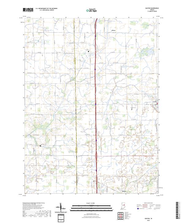 2022 Gaston2022 Print · USGSGaston and the fertile plains of East Central Indiana are captured here at the start of the 2020s. Genealogists and local historians can trace family ties at Zion Church Cem or Walker Cem and follow the routes between Bethel and Janney.
End of results
Showing maps 1-15 of 15
Top cities near Gaston
- Muncie historical maps
- Anderson historical maps
- Marion historical maps
- Hartford City historical maps
- Alexandria historical maps
- Gas City historical maps
See more
Frequently asked questions
- What are the different types of historical maps available for Gaston?
- What is the oldest map of Gaston?
- Where can I purchase historical maps of Gaston for my home or office?
- Where can I download high-res historical maps of Gaston?
- Are there historical topographic maps available for Gaston?
- Is there historical aerial imagery available for Gaston?
- Where are historical maps of Gaston sourced from?