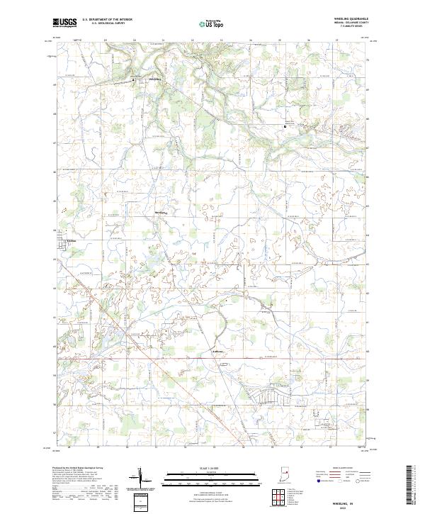
2022 Map of Wheeling
USGS Topo · Published 2022About this map
The Mississinewa River winds through the northern portion of this Delaware County landscape, defining the rural character of the region. This survey captures several small communities and historic burial sites, including the Wheeling Cem near the settlement of Wheeling and the Mount Zion Church Cem further east. The transition from traditional river-valley drainage to an extensive network of engineered waterways is evident in the numerous named channels like Studebaker Ditch, Van Devender Ditch, and Holdren Ditch.
Find a feature on this map
93 named features on this map. Tap any name to fly to it.
Don’t see what you’re looking for? This feature index may not catch every label — zoom into the map to look around manually.
Map Details
Editions of this 2022 Wheeling Map
This is the sole edition of this map. No revisions or reprints were ever made.
Other maps of this area

1952 · Muncie East
USGS Topo · 1:24,000

1952 · Muncie West
USGS Topo · 1:24,000

1953 · Muncie
USGS Topo · 1:250,000

1956 · Muncie
USGS Topo · 1:250,000

1960 · Gilman
USGS Topo · 1:24,000

1960 · Hartford City East
USGS Topo · 1:24,000

1960 · Eaton
USGS Topo · 1:24,000

1960 · Wheeling
USGS Topo · 1:24,000

1960 · Gas City
USGS Topo · 1:24,000

1960 · Gaston
USGS Topo · 1:24,000