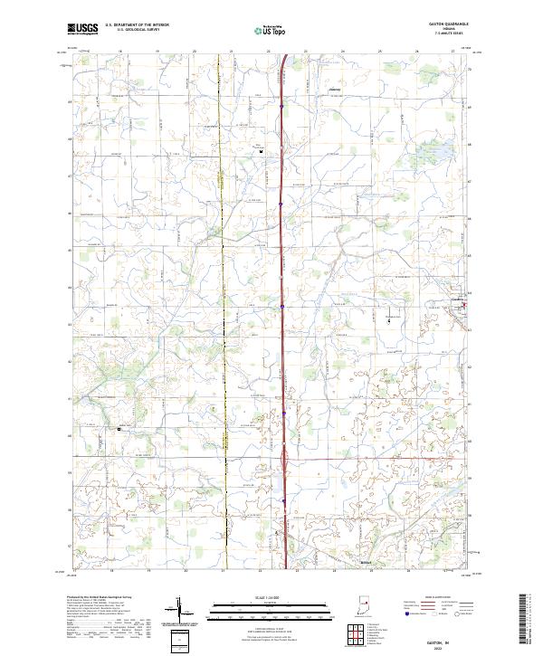
2022 Map of Gaston
USGS Topo · Published 2022About this map
Gaston and the surrounding farmland of Delaware and Madison counties are defined by a complex network of drainage ditches and creeks, essential for managing the low-lying terrain of East Central Indiana. This landscape is marked by historical points of interest such as Zion Church and its associated Zion Church Cem, alongside the Walker Cem and Thompson Cem. The drainage patterns are meticulously documented through features like the Yeager Finley Manard Ditch, Collins Ditch, and Thurston Ditch, which channel water toward larger bodies such as Pipe Cr and Killbuck Creek. Small pockets of wetland remain, including the Old Prairie Swamp, contrasting with the engineered agricultural fields. Small settlements like Bethel and Janney are interconnected by a grid of county roads, reflecting the enduring rural character of the region into the twenty-first century.
Find a feature on this map
98 named features on this map. Tap any name to fly to it.
Don’t see what you’re looking for? This feature index may not catch every label — zoom into the map to look around manually.
Map Details
Editions of this 2022 Gaston Map
This is the sole edition of this map. No revisions or reprints were ever made.
Other maps of this area

1952 · Muncie West
USGS Topo · 1:24,000

1953 · Muncie
USGS Topo · 1:250,000

1956 · Muncie
USGS Topo · 1:250,000

1960 · Gilman
USGS Topo · 1:24,000

1960 · Alexandria
USGS Topo · 1:24,000

1960 · Wheeling
USGS Topo · 1:24,000

1960 · Fairmount
USGS Topo · 1:24,000

1960 · Gas City
USGS Topo · 1:24,000

1960 · Gaston
USGS Topo · 1:24,000

1960 · Anderson North
USGS Topo · 1:24,000