Old Maps of Mackey, Indiana for Academic Research
Study the evolution of Mackey with 19 high-resolution historic maps. Whether you're teaching, researching, or modeling changes in land use, these maps provide essential visual documentation of urban, environmental, and geographic change.
- Analyze long-term change: Track patterns in development, transportation, and natural features.
- Ideal for environmental or urban studies: Support academic projects with primary historical map data.
- Use in the classroom or lab: Educators and researchers rely on these maps to bring historical context to life.
These maps are a powerful tool for teaching, research, and visualizing how Mackey has changed over the decades.
Mackey, IN maps
(19)- 1902 Map of Ditney
 1902 Ditney1902 Print · USGSSouthern Indiana at the start of the century was a landscape of expanding railroads and rural hamlets. Family historians can trace ancestral roots through dozens of small settlements like Coats Springs, Dongola, and Boonville along the Southern RR.3 unique versions available
 - 1902 Map of Boonville
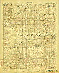
 1902 Boonville1902 Print · USGSWarrick and Gibson Counties at the opening of the twentieth century reveal a landscape of evolving transport and established rural life. Trace the path of the Wabash and Erie Canal or locate family roots in Boonville, Millersburg, and Lynnville.4 unique versions available
 - 1903 Map of Petersburg
 1903 Petersburg1903 Print · USGSSouthwestern Indiana at the turn of the century reveals a landscape shaped by river commerce and the early coal industry. Genealogists can trace family roots in Petersburg or Oakland City, and locate the Erie Canal and Massey Mine.2 unique versions available
 - 1956 Map of Vincennes, 1967 Print
 1956 Vincennes1967 Print · USGSSouthern Indiana and the Illinois borderlands are captured here in the mid-fifties, showing the region's dense network of river towns and rail lines. Researchers can trace historic river crossings along the Wabash River or locate landmarks like Wyandotte Cave and Lincoln State Park.4 unique versions available
 - 1957 Map of Vincennes
 1957 Vincennes1957 Print · USGSSouthwest Indiana and the Illinois borderlands come alive in the late 1950s, a period of heavy rail traffic and expanding state forests. Genealogists and historians can trace the riverfronts and rail lines of Vincennes, New Harmony, and the vast Crane Naval Ammunition Depot.
 - 1958 Map of Vincennes
 1958 Vincennes1958 Print · USGSSouthern Indiana and the Illinois borderlands are captured during a mid-century period of heavy rail traffic and military activity. Researchers can trace the sprawling bounds of the Crane Naval Ammunition Depot or locate historic settlements like New Harmony and French Lick.2 unique versions available
 - 1961 Map of Elberfeld, 1963 Print
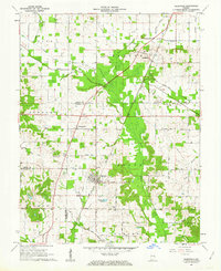 1961 Elberfeld1963 Print · USGSThe rural landscape around Elberfeld and Buckskin in the early sixties was a unique blend of active energy production and historical transit routes. Local historians can trace the path of the Erie and Wabash Canal and locate family sites like Nobles Cem or Zion Cem.4 unique versions available
 - 1961 Map of Francisco, 1963 Print
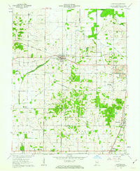 1961 Francisco1963 Print · USGSGibson County at the start of the sixties reveals a landscape of rural townships and evolving industry. Genealogists and local historians can trace family church sites like Providence Ch, explore the small town of Francisco, and locate the Old Indian Treaty Boundary.3 unique versions available
 - 1986 Map of Princeton
 1986 Princeton1986 Print · USGSSouthwestern Indiana is defined by the confluence of the Wabash and White Rivers during the mid-eighties, a period of established rail lines and expanding interstates. Genealogists and historians can trace property locations across numerous townships or locate family sites in Mount Carmel, Poseyville, and Boonville.2 unique versions available
 - 2010 Map of Francisco, 2010 Print
 2010 Francisco2010 Print · USGSCovers Mackey, including Francisco, Somerville, and other nearby areas
 - 2010 Map of Elberfeld, 2010 Print
 2010 Elberfeld2010 Print · USGSCovers Mackey, including Elberfeld, Buckskin, and other nearby areas
 - 2013 Map of Elberfeld, 2013 Print
 2013 Elberfeld2013 Print · USGSCovers Mackey, including Elberfeld, Buckskin, and other nearby areas
 - 2013 Map of Francisco, 2013 Print
 2013 Francisco2013 Print · USGSCovers Mackey, including Francisco, Somerville, and other nearby areas
 - 2016 Map of Elberfeld, 2016 Print
 2016 Elberfeld2016 Print · USGSCovers Mackey, including Elberfeld, Buckskin, and other nearby areas
 - 2016 Map of Francisco, 2016 Print
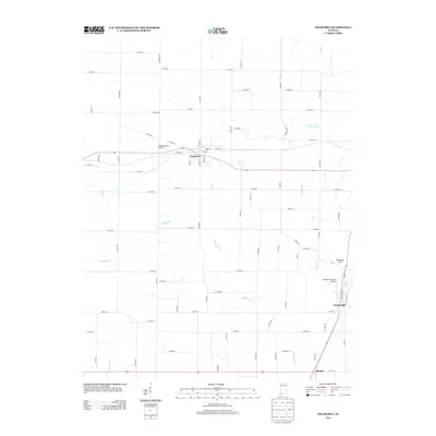
 2016 Francisco2016 Print · USGSCovers Mackey, including Francisco, Somerville, and other nearby areas
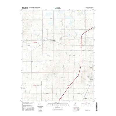
 - 2019 Map of Francisco, 2019 Print
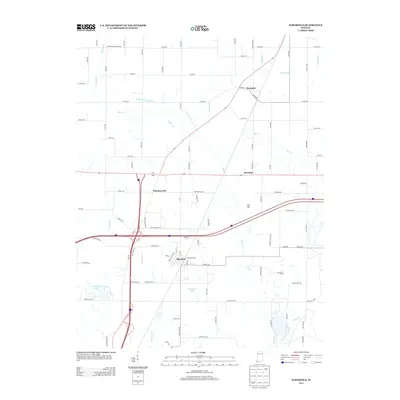
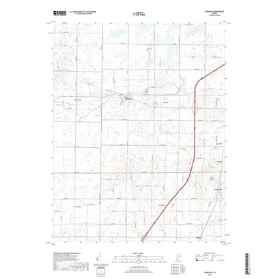 2019 Francisco2019 Print · USGSCovers Mackey, including Francisco, Somerville, and other nearby areas
 - 2019 Map of Elberfeld, 2019 Print
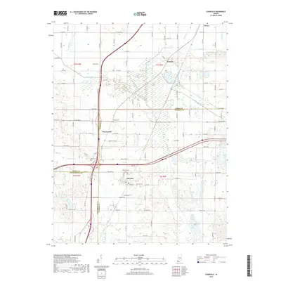 2019 Elberfeld2019 Print · USGSCovers Mackey, including Elberfeld, Buckskin, and other nearby areas
 - 2022 Map of Francisco, 2022 Print
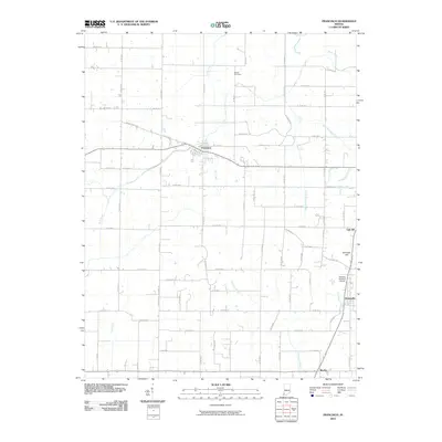
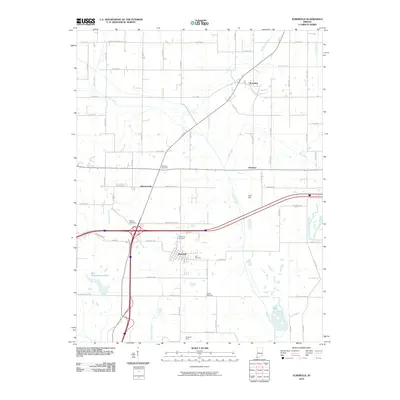
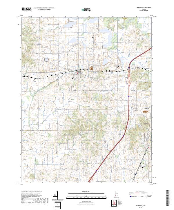 2022 Francisco2022 Print · USGSGibson County in the early twenty-first century reveals a landscape where organized township grids meet winding waterways like Halfmoon Cr. Genealogists and local historians can pinpoint the IOOF Cem and explore the rural outskirts of Francisco, Somerville, and Mackey.
 - 2022 Map of Elberfeld, 2022 Print
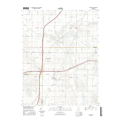
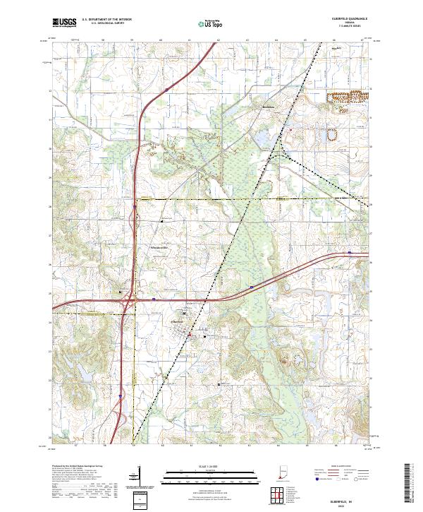 2022 Elberfeld2022 Print · USGSElberfeld and the tri-county borderlands of Gibson, Warrick, and Vanderburgh appear here in the early twenty-first century. Researchers can trace the path of the Wabash and Erie Canal and locate several burial grounds like Northview Cem and Susett Cem.
End of results
Showing maps 1-19 of 19
Top cities near Mackey
- Evansville historical maps
- Princeton historical maps
- Boonville historical maps
- Chandler historical maps
- Oakland City historical maps
- Fort Branch historical maps
See more
Frequently asked questions
- What are the different types of historical maps available for Mackey?
- What is the oldest map of Mackey?
- Where can I purchase historical maps of Mackey for my home or office?
- Where can I download high-res historical maps of Mackey?
- Are there historical topographic maps available for Mackey?
- Is there historical aerial imagery available for Mackey?
- Where are historical maps of Mackey sourced from?