2010s Maps of Jay County, Indiana
Explore 48 historic maps of Jay County from the 2010s. These maps offer a rare glimpse into what life looked like during the 2010s — showing old roads, neighborhoods, homes, and landmarks that have changed or disappeared over time.
Whether you're researching your family's past, planning a metal detecting trip, or studying how Jay County's landscape evolved across the 2010s, these high-resolution maps are a powerful tool for exploring the history of this region.
- Focus on a specific era: All maps on this page are from the 2010s, giving you a focused view of this time period.
- See what’s changed: Compare century-old streets, trails, and buildings to today's modern landscape using overlays and satellite layers.
- Research with precision: Use these maps for genealogy, historical research, land use analysis, or educational projects.
- View, download, or print: Maps are fully viewable online in high resolution, and can be downloaded or printed for your own records.
Start exploring Jay County's history through authentic maps from the 2010s. This is your window into the past.
Jay County, IN maps
(48)- 2010 Map of Deerfield, 2010 Print
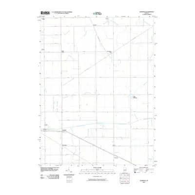 2010 Deerfield2010 Print · USGSEastern Indiana’s farming country is captured here during the first decade of the millennium, showing a landscape shaped by early treaties and rural commerce. Genealogists can locate several family burial grounds, including Kunce Cemetery and Weimer Cemetery, alongside historic hamlets like Boundary City and Deerfield.
 - 2010 Map of Redkey, 2010 Print
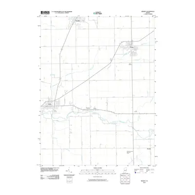 2010 Redkey2010 Print · USGSIndiana's eastern agricultural heartland is documented here at the start of the 2010s. Local researchers can trace family lands near Dunkirk and Redkey, or locate historic sites like Strong Cemetery and the Purdue University Agriculture Station.
 - 2010 Map of Ridgeville, 2010 Print
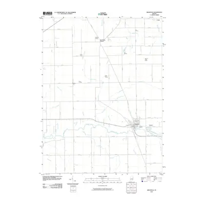 2010 Ridgeville2010 Print · USGSRandolph County's agricultural and river landscape is captured here in the early twenty-first century, centered on the historic town of Ridgeville. Researchers can locate numerous local burial grounds including Flower Point Cemetery and Veterans Cemetery.
 - 2010 Map of Petroleum, 2010 Print
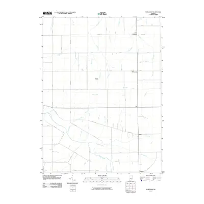 2010 Petroleum2010 Print · USGSIndiana’s agricultural heartland is documented here in the early twenty-first century, showing the enduring rural layout of Wells County. Researchers can locate early family landmarks like Bloxsom Cemetery or trace the drainage of the Salamonie River and Petroleum.
 - 2010 Map of Portland, 2010 Print
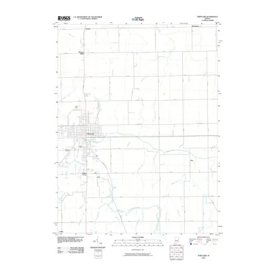 2010 Portland2010 Print · USGSPortland and its surrounding Jay County townships are documented here during the first decade of the 2000s. Genealogists and local historians can trace the vicinity of Liber, locate Green Park Cemetery, or follow the course of the Salamonie River.
 - 2010 Map of Pennville, 2010 Print
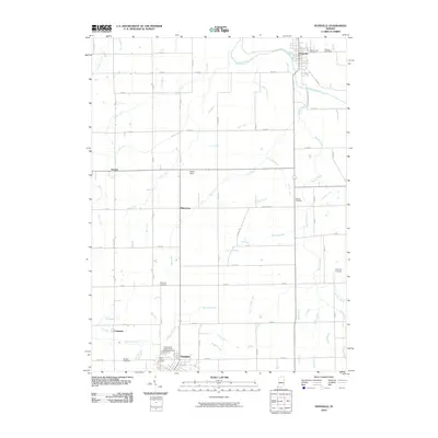 2010 Pennville2010 Print · USGSPennville and the northern reaches of Dunkirk are captured in this 2010 survey of Jay County's rural landscape. Genealogists can trace family heritage across numerous sites like Mount Tabor Cemetery and Maple Lawn Cemetery or follow the waters of the Salamonie River.
 - 2010 Map of Domestic, 2010 Print
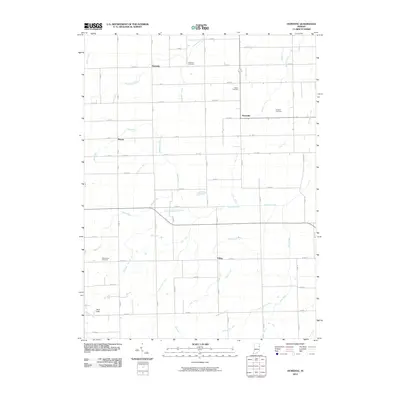 2010 Domestic2010 Print · USGSEastern Indiana’s farming country is captured here during the first decade of the new millennium. Researchers can trace ancestral locations and rural landmarks across Domestic, Perryville, and local burial grounds like Hartford Cemetery and Brown Cemetery.
 - 2010 Map of Blaine, 2010 Print
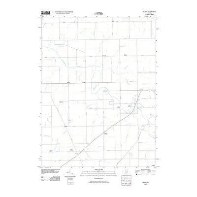 2010 Blaine2010 Print · USGSAgricultural life in rural Jay County is well-defined here during the early twenty-first century. Genealogists and local historians can trace family ties through numerous small burial sites like Whaley Cemetery and Sager Cemetery near the Salamonie River.
 - 2010 Map of Fort Recovery, 2010 Print
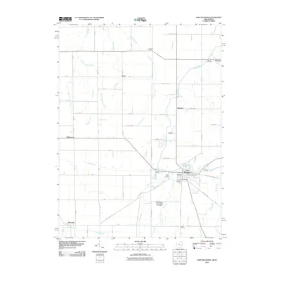 2010 Fort Recovery2010 Print · USGSThe Ohio-Indiana border comes alive in this survey, showcasing the rural landscape surrounding Fort Recovery and Salamonia. Genealogists can trace family footprints through numerous sites like Old Pioneer Cemetery and Spring Hill Cemetery.
 - 2010 Map of Cosmos, 2010 Print
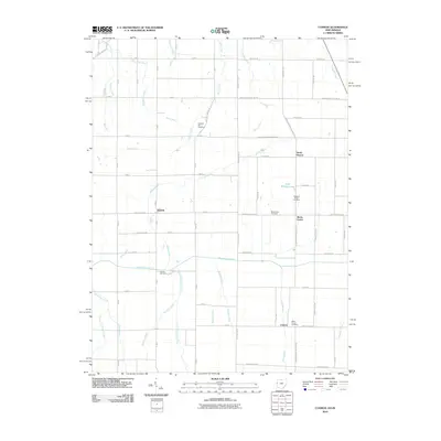 2010 Cosmos2010 Print · USGSThe Indiana-Ohio borderlands at the start of the 21st century reveal a meticulously managed agricultural landscape of rivers and man-made ditches. Local historians can trace the rural communities of Salem and Cosmos or locate family sites at Hoover Cemetery and Raper Chapel.
 - 2010 Map of New Corydon, 2010 Print
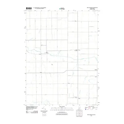 2010 New Corydon2010 Print · USGSThe Indiana-Ohio borderlands come into focus in the early twenty-first century as a network of rural settlements and agricultural ditches. Trace local roots through New Corydon or Trinity and locate family plots at Liberty Cemetery or Skeels Cemetery.
 - 2011 Map of Geneva, 2011 Print
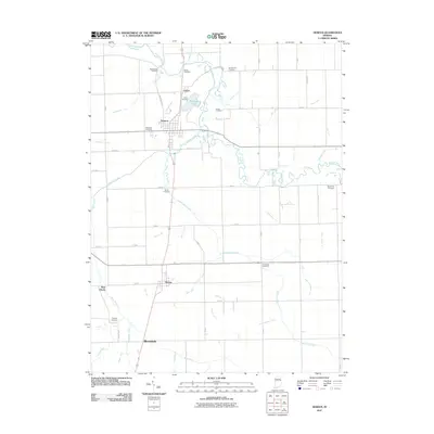 2011 Geneva2011 Print · USGSGeneva and the surrounding Indiana countryside are captured here in the early 21st century, showing a landscape shaped by rural agriculture and the Wabash River. Genealogists can trace local roots through numerous sites like Old Baptist Cemetery, Studebaker Cemetery, and Pingrey Cemetery.
 - 2013 Map of New Corydon, 2013 Print
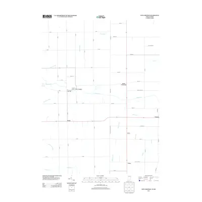 2013 New Corydon2013 Print · USGSThe Indiana-Ohio borderlands come into focus in the early twenty-first century as a network of small settlements and managed waterways. Genealogists and local historians can trace the areas around New Corydon, Jay City, and the rural community of Padua near Limberlost Cr.
 - 2013 Map of Deerfield, 2013 Print
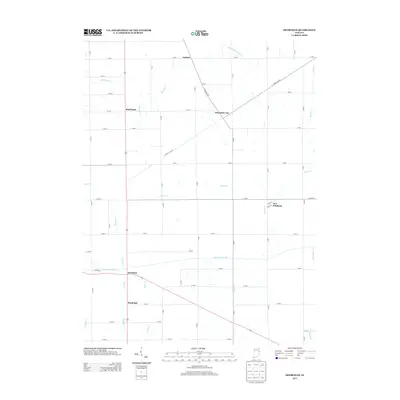 2013 Deerfield2013 Print · USGSThe Indiana countryside near the Ohio border appears in this survey as a network of historic river valleys and small farming hamlets. Genealogists and historians can trace old homestead locations and settlements like Boundary City, New Pittsburg, and Bluff Point along the Mississinewa River.
 - 2013 Map of Portland, 2013 Print
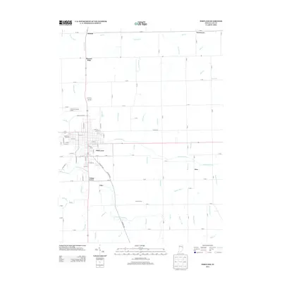 2013 Portland2013 Print · USGSJay County farmland surrounds the city of Portland in the early 2010s, showing a landscape shaped by the Salamonie River and its tributaries. Researchers can trace local settlements like Liber, Antiville, and College Corner alongside rural landmarks like Osterholt Farms.
 - 2013 Map of Redkey, 2013 Print
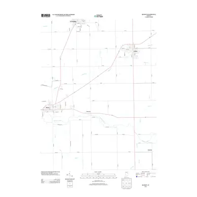 2013 Redkey2013 Print · USGSThe Redkey and Albany areas in the early twenty-first century show a landscape of resilient river towns and crossroads. Genealogists and local historians can trace family locations near Shedville, Fairview, and along the winding Mississinewa River.
 - 2013 Map of Ridgeville, 2013 Print
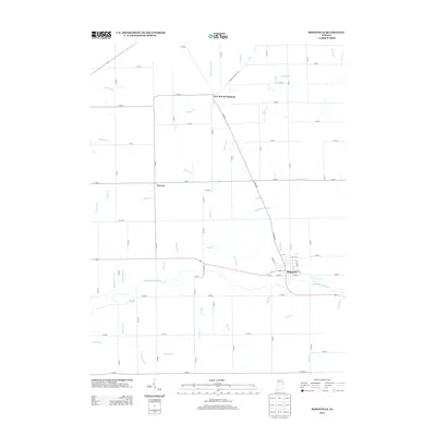 2013 Ridgeville2013 Print · USGSThe rural agricultural landscape of Randolph County is captured here in the early twenty-first century, centered on the Mississinewa River. Genealogists and local historians can trace the town layouts of Ridgeville and New Mount Pleasant alongside numerous family-named drainage ways like Heuss Ditch and Uphaus Ditch.
 - 2013 Map of Domestic, 2013 Print
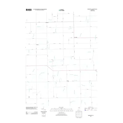 2013 Domestic2013 Print · USGSThe rural crossroads of Adams County are meticulously documented in this early twenty-first-century survey of the Indiana countryside. Researchers can trace local landmarks and property contexts near Domestic, Perryville, and the waters of Loblolly Cr.
 - 2013 Map of Pennville, 2013 Print
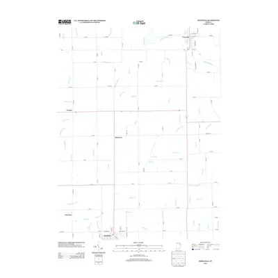 2013 Pennville2013 Print · USGSThe northern edge of Dunkirk and the village of Pennville are documented here in the early twenty-first century. Genealogists and local historians can trace family land near the Salamonie River or locate rural communities like Ridertown and Trenton.
 - 2013 Map of Petroleum, 2013 Print
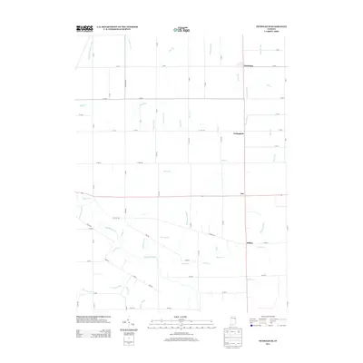 2013 Petroleum2013 Print · USGSWells County farming and small-town life are captured here in the early twenty-first century as agricultural traditions continue. Researchers can trace rural settlement patterns near Petroleum and Nottingham, or follow the course of the Salamonie River.
 - 2013 Map of Blaine, 2013 Print
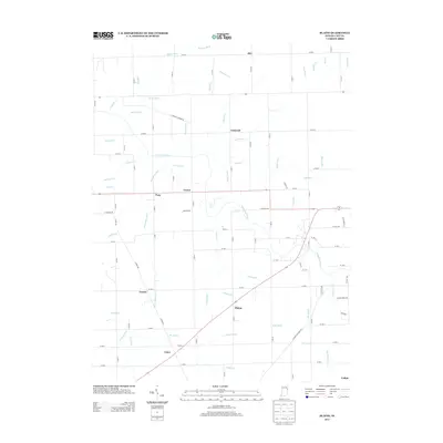 2013 Blaine2013 Print · USGSJay County's agricultural heartland is documented here in the early twenty-first century, showing a landscape defined by the Salamonie River. Genealogists and local historians can trace the crossroads settlements of Blaine, Pony, and Como.
 - 2013 Map of Geneva, 2013 Print
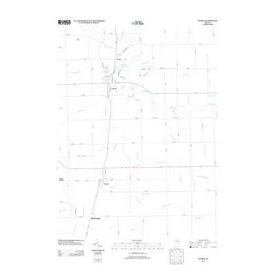 2013 Geneva2013 Print · USGSSettlements along the Wabash River corridor in eastern Indiana are mapped here during the early twenty-first century. Researchers can trace local genealogy and land use through named places like Geneva, Bryant, and family landmarks such as Toland Farms.
 - 2013 Map of Fort Recovery, 2013 Print
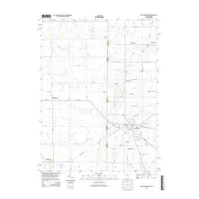 2013 Fort Recovery2013 Print · USGSThe Indiana-Ohio borderlands at the start of the twenty-first century reveal a landscape of ancestral farmsteads and historic cemeteries. Genealogists can trace family footprints at Old Pioneer Cem or Macedon Cem, while exploring the rural communities of Monterey and Fort Recovery.
 - 2013 Map of Cosmos, 2013 Print
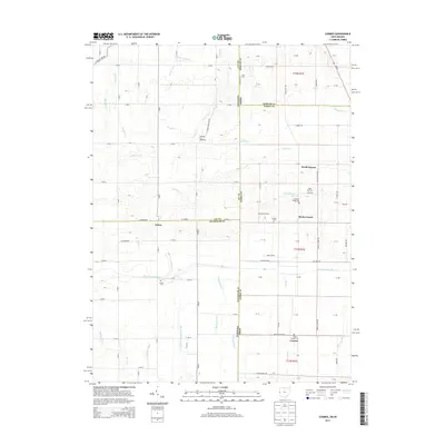 2013 Cosmos2013 Print · USGSThe Indiana-Ohio borderlands come into focus in the early twenty-first century, showing a landscape defined by small farming communities and river drainage. Genealogists and local historians can locate Raper Chapel Cem, the rural crossroads of Salem, and landmarks like Pleasant Hill Speedway.
 - 2016 Map of Portland, 2016 Print
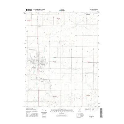 2016 Portland2016 Print · USGSJay County centers on the city of Portland during the mid-2010s, showing a landscape shaped by the Salamonie River and industrial development. Genealogists can locate family sites at Green Park Cem and trace the small communities of Antiville and Liber.
Showing maps 1-25 of 48
Top cities of Jay County
- Portland historical maps
- Redkey historical maps
- Greene historical maps
- Pennville historical maps
- Noble historical maps
- Bryant historical maps
See more
Frequently asked questions
- What are the different types of historical maps available for Jay County?
- What is the oldest map of Jay County?
- Where can I purchase historical maps of Jay County for my home or office?
- Where can I download high-res historical maps of Jay County?
- Are there historical topographic maps available for Jay County?
- Is there historical aerial imagery available for Jay County?
- Where are historical maps of Jay County sourced from?