Old Maps of Antiville, Indiana for Genealogy
Trace your family roots with 12 historic maps of Antiville. These high-res maps reveal old neighborhoods, homesites, landmarks, and streets — helping you uncover where your ancestors lived and how the area evolved over time.
- Explore historic neighborhoods: Identify where your relatives may have lived in the 1800s or 1900s.
- Compare maps over time: Trace the changes in streets, buildings, and landmarks for multi-generational research.
- Perfect for genealogy & ancestry research: Used by family historians and researchers to map out lineage and migration.
These maps are an incredible resource for exploring your personal connection to Antiville's past.
Antiville, IN maps
(12)- 1915 Map of Fort Recovery
 1915 Fort Recovery1915 Print · USGSThe Indiana-Ohio borderlands come into focus during the mid-1910s, showing the agricultural and rail-dependent landscape around Fort Recovery. Genealogists and historians can trace the exact locations of numerous rural institutions like Oak Grove School, Mt Zion School, and the Lake Erie and Western railroad corridor.2 unique versions available
 - 1918 Map of Fort Recovery, 1922 Print
 1918 Fort Recovery1922 Print · USGSFort Recovery and the surrounding Mercer County farmsteads are documented here in the early twentieth century, just years after the turn of the century. Genealogists can trace family connections through a high density of rural schoolhouses like Mt Zion School and settlements such as Macedon and Buck Corners.
 - 1953 Map of Muncie, 1966 Print
 1953 Muncie1966 Print · USGSIndiana and Ohio borderlands thrive in the early fifties, showing a landscape defined by manufacturing cities and an intensive railroad network. Genealogists can trace family roots across the Indiana-Ohio line through Muncie, Celina, and Portland via the Pennsylvania railroad.5 unique versions available
 - 1956 Map of Muncie
 1956 Muncie1956 Print · USGSEastern Indiana and western Ohio are shown at a peak of rail-driven industry in the mid-fifties. Genealogists and rail historians can trace the paths of the Pennsylvania RR through Muncie or locate landmarks like Lake Saint Marys (Grand Lake Reservoir) and Frances Slocum State Forest.
 - 1960 Map of Portland, 1961 Print
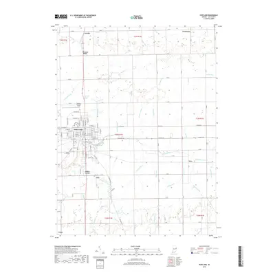
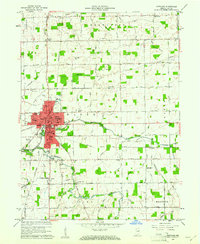 1960 Portland1961 Print · USGSThe Jay County seat of Portland is shown in the early sixties as a thriving rail hub and agricultural center. Local historians can trace the legacy of neighborhood schools like Haynes Sch and Lincoln Sch or locate family sites near Liber Cem.2 unique versions available
 - 1986 Map of Piqua
 1986 Piqua1986 Print · USGSThe western Ohio and eastern Indiana borderlands appear here in the mid-1980s, showcasing a landscape of river-valley industry and fertile plains. Researchers can trace historic rail lines like Conrail and Norfolk and Western through towns like Greenville and Winchester.3 unique versions available
 - 1992 Map of Portland, 1995 Print
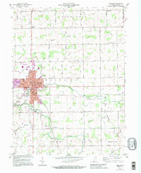 1992 Portland1995 Print · USGSMid-century Indiana life meets late-century updates in this detailed look at Portland and its surrounding townships. Genealogists and local historians can trace family roots at Green Park Cemetery or explore the rural schoolhouses like Miller Sch and Haynes Sch.
 - 2010 Map of Portland, 2010 Print
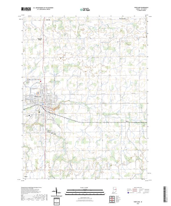
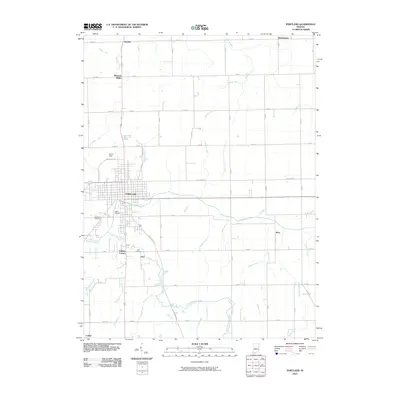 2010 Portland2010 Print · USGSCovers Antiville, including Portland, College Corner, and other nearby areas
 - 2013 Map of Portland, 2013 Print
 2013 Portland2013 Print · USGSCovers Antiville, including Portland, College Corner, and other nearby areas
 - 2016 Map of Portland, 2016 Print
 2016 Portland2016 Print · USGSCovers Antiville, including Portland, College Corner, and other nearby areas
 - 2019 Map of Portland, 2019 Print
 2019 Portland2019 Print · USGSCovers Antiville, including Portland, College Corner, and other nearby areas
 - 2022 Map of Portland, 2022 Print
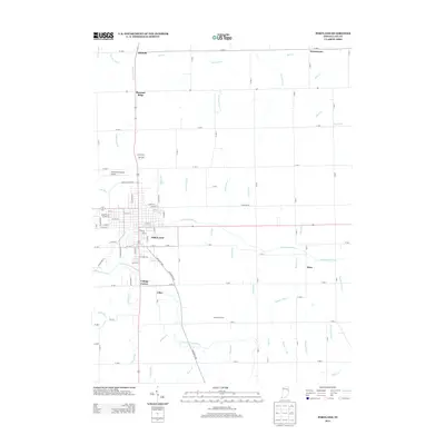
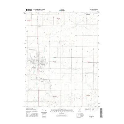
 2022 Portland2022 Print · USGSJay County's seat and its surrounding farming townships are captured in this recent survey. Researchers can locate family heritage sites like Liber Cem and Jaque Cem or trace the rural crossroads of Antiville and Collett.
End of results
Showing maps 1-12 of 12
Top cities near Antiville
- Bluffton historical maps
- Portland historical maps
- Berne historical maps
- Redkey historical maps
- Fort Recovery historical maps
- Geneva historical maps
See more
Frequently asked questions
- What are the different types of historical maps available for Antiville?
- What is the oldest map of Antiville?
- Where can I purchase historical maps of Antiville for my home or office?
- Where can I download high-res historical maps of Antiville?
- Are there historical topographic maps available for Antiville?
- Is there historical aerial imagery available for Antiville?
- Where are historical maps of Antiville sourced from?