Old Maps of Commiskey, Indiana for Academic Research
Study the evolution of Commiskey with 11 high-resolution historic maps. Whether you're teaching, researching, or modeling changes in land use, these maps provide essential visual documentation of urban, environmental, and geographic change.
- Analyze long-term change: Track patterns in development, transportation, and natural features.
- Ideal for environmental or urban studies: Support academic projects with primary historical map data.
- Use in the classroom or lab: Educators and researchers rely on these maps to bring historical context to life.
These maps are a powerful tool for teaching, research, and visualizing how Commiskey has changed over the decades.
Commiskey, IN maps
(11)- 1956 Map of Deputy, 1957 Print
 1956 Deputy1957 Print · USGSSouthern Indiana rail and river life are captured here in the mid-fifties, centered on the Baltimore and Ohio line. Genealogists can trace family names through landmarks like Robertson Cem, Alpha Ch, and the settlement of Deputy.
 - 1956 Map of Louisville, 1971 Print
 1956 Louisville1971 Print · USGSThe Ohio River valley and the Kentucky Bluegrass are captured here during a period of rapid mid-century growth and industrial activity. Genealogists and historians can trace rail-centered towns and military land use at Fort Knox and the Jefferson Proving Ground.2 unique versions available
 - 1964 Map of Louisville
 1964 Louisville1964 Print · USGSThe Ohio River valley and Kentucky Bluegrass are captured in the mid-1960s, showing a region balanced between industrial growth and its agrarian roots. Genealogists and historians can trace the development of county seats like Shelbyville and Paris, or locate established institutions such as Georgetown College and Bernheim Forest.
 - 1968 Map of Deputy, 1970 Print
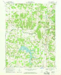 1968 Deputy1970 Print · USGSThe rural landscape around Deputy and Paris Crossing is captured here in the late 1960s, showing the intersection of railroad life and the Muscatatuck River valley. Genealogists can trace family landmarks like Robertson Cem, Mt Zion Ch, and the Baltimore and Ohio rail line.3 unique versions available
 - 1986 Map of Madison
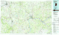 1986 Madison1986 Print · USGSSouthern Indiana and Northern Kentucky are shown here in the mid-eighties, centered on the river corridor and the sprawling Jefferson Proving Ground. Genealogists and historians can trace rail lines like the Seaboard System and locate river towns from Madison to Bethlehem.
 - 1990 Map of Madison, 1991 Print
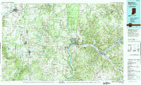 1990 Madison1991 Print · USGSThe Ohio River valley and the southern Indiana plains are documented here in the final decade of the twentieth century. Genealogists and historians can trace family-named crossroads and established rail towns like Dudleytown, Austin, and Crothersville along the P C RR line.
 - 2010 Map of Deputy, 2010 Print
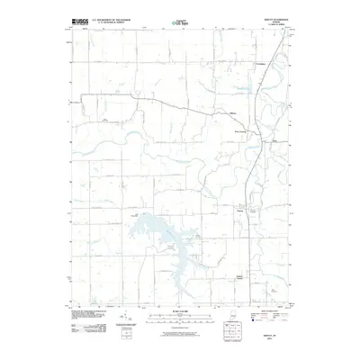 2010 Deputy2010 Print · USGSJennings County, Indiana, is captured here in the early twenty-first century as a landscape of river valleys and small crossroads communities. Genealogists and local historians can locate Keith Cemetery, Parkers Station, and the expansive waters of Hardy Lake.
 - 2013 Map of Deputy, 2013 Print
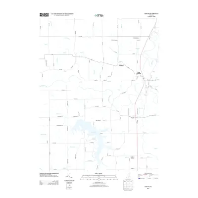 2013 Deputy2013 Print · USGSJennings County at the start of the 2010s shows a landscape defined by the waters of the Muscatatuck River and the sprawling Hardy Lake. Genealogists and local historians can trace the roads connecting Deputy, Paris Crossing, and the small community of Hilltown.
 - 2016 Map of Deputy, 2016 Print
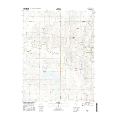 2016 Deputy2016 Print · USGSSouthern Indiana's river-fed borderlands appear in great detail during the mid-2010s. Genealogists and local historians can trace family plots at Keith Cem or Valley Cem and explore old road networks near Paris Crossing and Commiskey.
 - 2019 Map of Deputy, 2019 Print
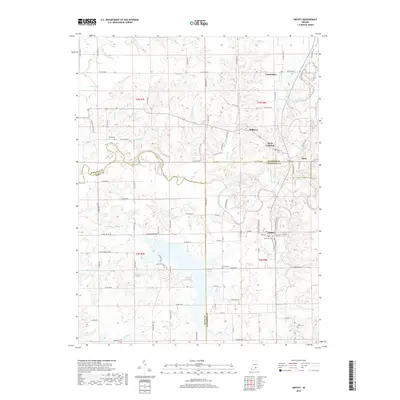 2019 Deputy2019 Print · USGSSouthern Indiana's rural borderlands are documented in this recent survey, where Jennings, Jefferson, and Scott counties meet. Researchers can trace family history at Robertson Cem, follow the CSX Transportation rail line through Commiskey, and explore the banks of the Muscatatuck River.
 - 2022 Map of Deputy, 2022 Print
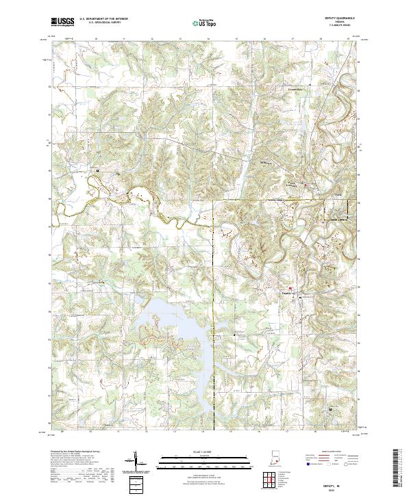 2022 Deputy2022 Print · USGSIn the early 2020s, this Southern Indiana region at the intersection of Jennings and Jefferson counties remains defined by the winding Muscatatuck River. Genealogists can trace family roots through Robertson Cem, Carmel Cem, and the rural community at Deputy.
End of results
Showing maps 1-11 of 11
Top cities near Commiskey
- Seymour historical maps
- Madison historical maps
- Vienna historical maps
- Scottsburg historical maps
- North Vernon historical maps
- Austin historical maps
See more
Frequently asked questions
- What are the different types of historical maps available for Commiskey?
- What is the oldest map of Commiskey?
- Where can I purchase historical maps of Commiskey for my home or office?
- Where can I download high-res historical maps of Commiskey?
- Are there historical topographic maps available for Commiskey?
- Is there historical aerial imagery available for Commiskey?
- Where are historical maps of Commiskey sourced from?