2010s Maps of Marshall County, Indiana
Explore 48 historic maps of Marshall County from the 2010s. These maps offer a rare glimpse into what life looked like during the 2010s — showing old roads, neighborhoods, homes, and landmarks that have changed or disappeared over time.
Whether you're researching your family's past, planning a metal detecting trip, or studying how Marshall County's landscape evolved across the 2010s, these high-resolution maps are a powerful tool for exploring the history of this region.
- Focus on a specific era: All maps on this page are from the 2010s, giving you a focused view of this time period.
- See what’s changed: Compare century-old streets, trails, and buildings to today's modern landscape using overlays and satellite layers.
- Research with precision: Use these maps for genealogy, historical research, land use analysis, or educational projects.
- View, download, or print: Maps are fully viewable online in high resolution, and can be downloaded or printed for your own records.
Start exploring Marshall County's history through authentic maps from the 2010s. This is your window into the past.
Marshall County, IN maps
(48)- 2010 Map of Plymouth, 2010 Print
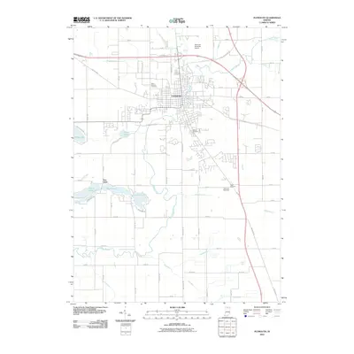 2010 Plymouth2010 Print · USGSPlymouth and its surrounding Marshall County landscape appear at the start of the 2010s, centered on the winding Yellow River. Researchers can trace local heritage through sites like Oak Hill Cemetery, the Twin Lakes settlement, and the historic Lincoln Hwy.
 - 2010 Map of La Paz, 2010 Print
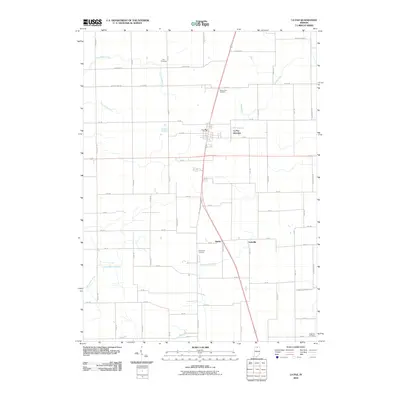 2010 La Paz2010 Print · USGSMarshall County's rural crossroads and family farms are documented here during the early 21st century. Researchers can trace ancestral connections at Fairmount Cemetery and locate small communities like La Paz, Harris, and Linkville.
 - 2010 Map of Argos, 2010 Print
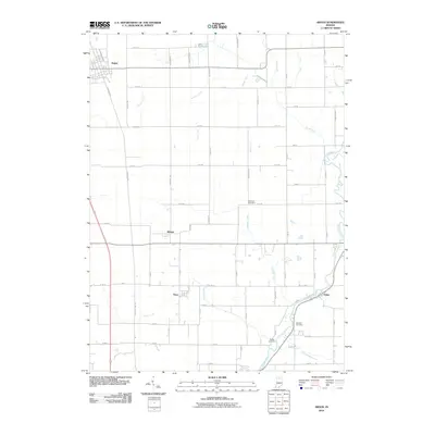 2010 Argos2010 Print · USGSNorth-central Indiana farmland is captured here in the early twenty-first century, centered on the grid of Argos and its surrounding townships. Researchers can trace ancestral farmsteads and rural burials at McGrew Cemetery or follow the winding Tippecanoe River through Talma.
 - 2010 Map of Culver, 2010 Print
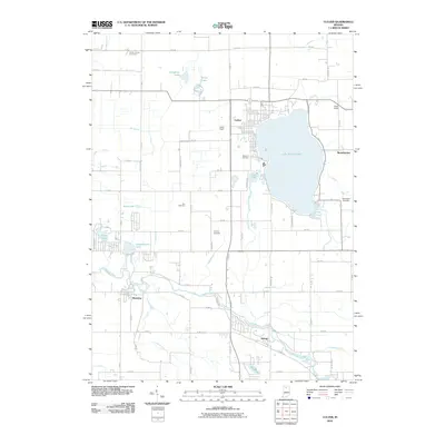 2010 Culver2010 Print · USGSThe lakeside community of Culver and the winding Tippecanoe River define this Marshall County landscape in the early twenty-first century. Genealogists and local historians can trace family plots at Masonic Cemetery or Zion Cemetery and explore the historic footprints of Monterey and Delong.
 - 2010 Map of Bremen, 2010 Print
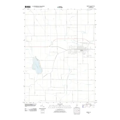 2010 Bremen2010 Print · USGSBremen and the surrounding Marshall County farmland are captured here in the early twenty-first century as the area's agricultural and hydrologic legacy remains clearly visible. Researchers can trace family-named landmarks and old transit routes like the Sarah Hershberger Ditch, Lake of the Wood, and the Plymouth Goshen Trl.
 - 2010 Map of Donaldson, 2010 Print
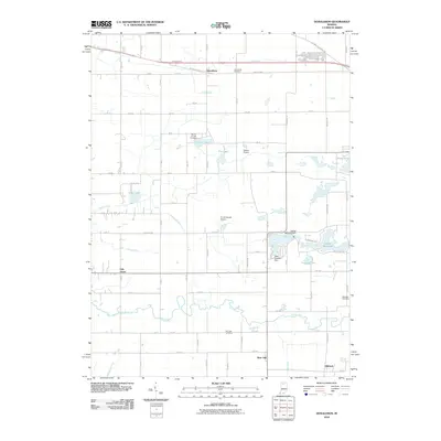 2010 Donaldson2010 Print · USGSNorthwestern Indiana is captured here during the first decade of the millennium, showing a landscape of river-fed basins and agricultural junctions. Genealogists and local historians can trace family plots at Burr Oak Cemetery or study the water systems around Zehner Millpond and Thomas Lake.
 - 2010 Map of Inwood, 2010 Print
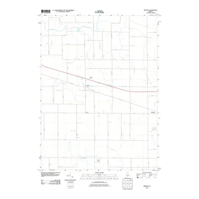 2010 Inwood2010 Print · USGSIn Marshall County during the early twenty-first century, the communities of Bourbon and Inwood are connected by the historic Lincoln Hwy and a grid of timber-named country roads. Genealogists and researchers can locate Salem Cemetery or trace the drainage networks of Daniels Ditch and Yellow River.
 - 2010 Map of Nappanee West, 2010 Print
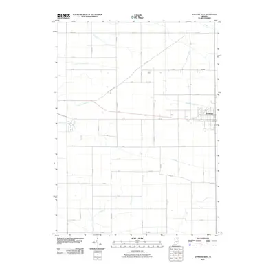 2010 Nappanee West2010 Print · USGSElkhart County agriculture and the western expansion of Nappanee are captured here during the first decade of the millennium. Researchers can trace historic family-named drainage systems like Walter Wisler Ditch and the early path of the Plymouth Goshen Trl.
 - 2010 Map of Walkerton, 2010 Print
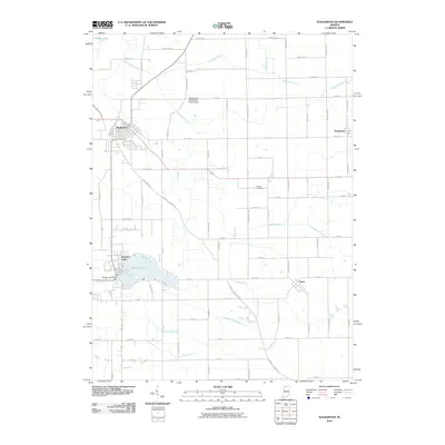 2010 Walkerton2010 Print · USGSWalkerton and the surrounding Saint Joseph County countryside are captured here in the early twenty-first century, showing a landscape defined by agricultural drainage and small-town hubs. Researchers can trace the layout of Koontz Lake, find family roots at Barber Cemetery, or locate the Stuntz and Hochstetler Pines Airport.
 - 2010 Map of Mentone, 2010 Print
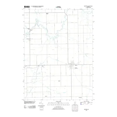 2010 Mentone2010 Print · USGSNorthern Indiana's agricultural heartland is documented here at the start of the 2010s, centered on the Tippecanoe River and the village of Mentone. Researchers can locate several burial sites, including Tippecanoe Cemetery and Meredith Cemetery, along with the crossroads at Sevastopol.
 - 2010 Map of Bourbon, 2010 Print
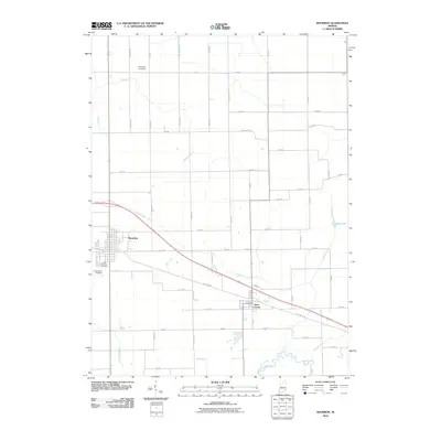 2010 Bourbon2010 Print · USGSIndiana agricultural life and complex drainage systems are captured here in the early twenty-first century. Genealogists and local historians can trace burial sites like Sandridge Cemetery and the engineering of the Lemer-Berger Ditch near Bourbon.
 - 2010 Map of Rutland, 2010 Print
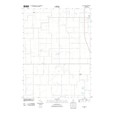 2010 Rutland2010 Print · USGSMarshall County agricultural land and small crossroads settlements are mapped here in the early twenty-first century. Genealogists and local historians can locate Rutland, Richland Center, and natural landmarks like Eddy Lake and O'Blennis Lake.
 - 2013 Map of Donaldson, 2013 Print
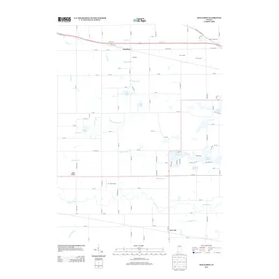 2013 Donaldson2013 Print · USGSNorthern Indiana farm country and the historic Lincoln Hwy corridor are captured here during the early twenty-first century. Researchers can locate specific family-run operations like the J M J Dairy Farm and trace the complex waterway networks of the Yellow River and Zehner Millpond.
 - 2013 Map of Culver, 2013 Print
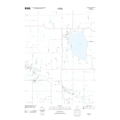 2013 Culver2013 Print · USGSMarshall County's lakeside and river landscapes are captured here in the early twenty-first century. Genealogists and local historians can trace the streets of Culver and Monterey or locate family landmarks near Lake Maxinkuckee and the Tippecanoe River.
 - 2013 Map of Bourbon, 2013 Print
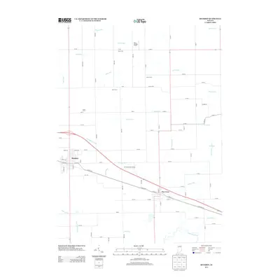 2013 Bourbon2013 Print · USGSThe Indiana countryside near Marshall County is captured here in the early twenty-first century, showing the towns of Bourbon and Etna Green. Researchers can trace the legacy of family agriculture through landmarks like Lemlar Farms and the complex drainage of the Tippecanoe River basin.
 - 2013 Map of Rutland, 2013 Print
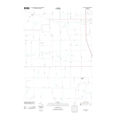 2013 Rutland2013 Print · USGSMarshall County's rural character is preserved in this recent survey of the lands around Rutland and Richland Center. Genealogists and local historians can trace family land proximity to DDT Field Airport or local water landmarks like Mud Lake and Zink Lake.
 - 2013 Map of Inwood, 2013 Print
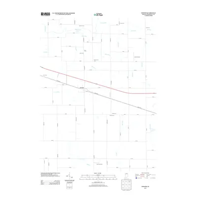 2013 Inwood2013 Print · USGSInwood and its surrounding Marshall County farmsteads are shown in the early twenty-first century as a landscape of grid-patterned roads and essential drainage works. Researchers can trace family-named lands like Motz Farms or locate the historic Lincoln Hwy and Scott Field Airport.
 - 2013 Map of Bremen, 2013 Print
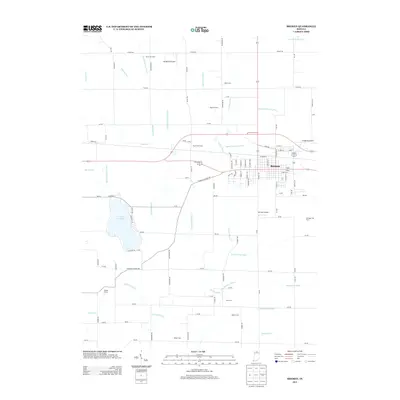 2013 Bremen2013 Print · USGSBremen and its surrounding Marshall County farmlands are captured in the early twenty-first century as the area balanced town growth with deep-rooted agriculture. Trace the rail-side development along the CSX line or locate family-named landmarks like Sarah Hershberger Ditch and Klotz Tree Farm.
 - 2013 Map of Argos, 2013 Print
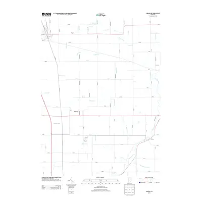 2013 Argos2013 Print · USGSThe Marshall County countryside and the town of Argos are documented here in the early twenty-first century, showing a landscape defined by agriculture and river drainage. Researchers can trace the winding Tippecanoe River or locate smaller settlements like Tiosa, Walnut, and Talma.
 - 2013 Map of Nappanee West, 2013 Print
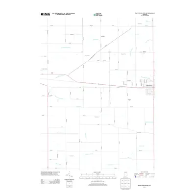 2013 Nappanee West2013 Print · USGSNorthern Indiana farm country is documented here in the early twenty-first century as agricultural traditions and modern infrastructure intersect. Researchers can locate specific family holdings like Pippenger Farms and trace water routes including Baugo Creek and Locke.
 - 2013 Map of Mentone, 2013 Print
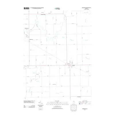 2013 Mentone2013 Print · USGSMentone and the surrounding Indiana farm country are documented here in the early twenty-first century. Researchers can trace rural lineages through sites like Summit Chapel and Old Tip Town or follow the winding path of the Tippecanoe River.
 - 2013 Map of Walkerton, 2013 Print
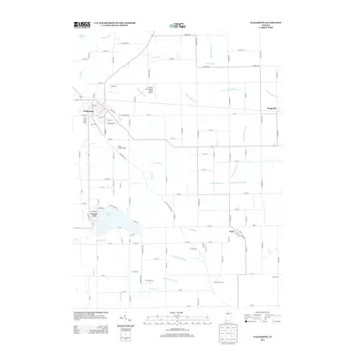 2013 Walkerton2013 Print · USGSNorthern Indiana's farm country and lakeside communities are captured here in the early twenty-first century. Genealogists and local historians can trace family-named holdings like Braun Farms and Sunny Acres or locate the village of Tyner.
 - 2013 Map of La Paz, 2013 Print
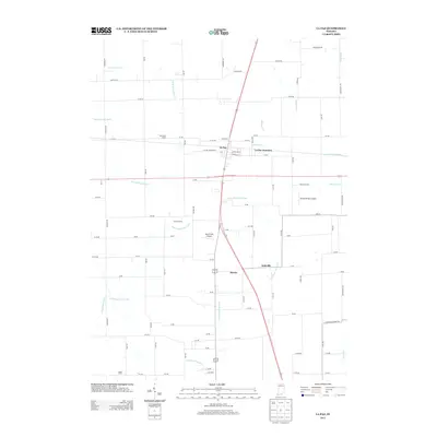 2013 La Paz2013 Print · USGSIn the early twenty-first century, this Marshall County landscape highlights the intersection of traditional agriculture and modern rural life. Researchers can trace family farmsteads like Cashen Farms and small settlements including Linkville, Harris, and La Paz Junction.
 - 2013 Map of Plymouth, 2013 Print
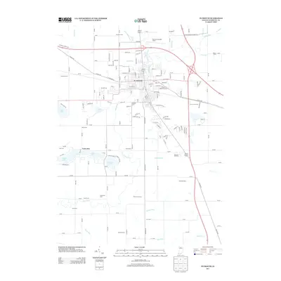 2013 Plymouth2013 Print · USGSThe city of Plymouth and the surrounding Marshall County countryside are shown here at the start of the 2010s. Genealogists and local historians can trace legacy land tracts like Ganshorn Farms and Olson Farms or locate landmarks such as the Plymouth Speedway.
 - 2016 Map of Bremen, 2016 Print
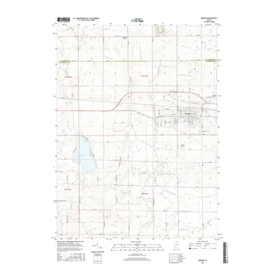 2016 Bremen2016 Print · USGSBremen and its surrounding Marshall County farmlands are captured here in the mid-2010s, showing a landscape shaped by intricate drainage and regional aviation. Researchers can trace family-named landmarks like the Sarah Hershberger Ditch or locate early airfields such as Hackbarth Airport and Unsicker Airport.
Showing maps 1-25 of 48
Top cities of Marshall County
- Plymouth historical maps
- Bremen historical maps
- Walnut historical maps
- Bourbon historical maps
- Argos historical maps
- Culver historical maps
See more
Frequently asked questions
- What are the different types of historical maps available for Marshall County?
- What is the oldest map of Marshall County?
- Where can I purchase historical maps of Marshall County for my home or office?
- Where can I download high-res historical maps of Marshall County?
- Are there historical topographic maps available for Marshall County?
- Is there historical aerial imagery available for Marshall County?
- Where are historical maps of Marshall County sourced from?