Old Maps of Marshall County, Indiana for Metal Detecting
Plan your next treasure hunt with 79 historic maps of Marshall County. Find old homesites, ghost towns, trails, and gathering spots that may be lost to time — perfect for identifying promising metal detecting locations.
- Locate forgotten sites: Uncover places like long-lost settlements, abandoned rail lines, or gathering spots.
- Plan better hunts: Use map overlays combined with LiDAR or satellite views to narrow in on historically rich areas.
- Made for detectorists: Thousands of hobbyists use these maps to discover relics, coins, and hidden history.
Use these historic maps to boost your research and find new opportunities beneath the surface of Marshall County.
Marshall County, IN maps
(79)- 1953 Map of Chicago, 1964 Print
 1953 Chicago1964 Print · USGSThe southern Lake Michigan shoreline was rapidly modernizing in the mid-fifties, balancing heavy industry with its famous academic centers. Researchers can trace the footprints of Notre Dame University or locate vanished sites like the Kingsbury Ordnance Plant and Meigs Field.5 unique versions available
 - 1957 Map of Chicago
 1957 Chicago1957 Print · USGSThe industrial heartland and southern Great Lakes shoreline are captured here during the peak of mid-century growth. Researchers can trace the massive Gary Steel Works, the grounds of the University of Notre Dame, and the early paths of the Tri-State Tollway.
 - 1957 Map of Inwood, 1958 Print
 1957 Inwood1958 Print · USGSMarshall County agricultural life is captured here in the late fifties, centered on the crossroads of the Inwood settlement. Researchers can trace rural lineages at Salem Cem or Bethel Ch and follow the path of the Pennsylvania railroad.3 unique versions available
 - 1957 Map of Plymouth, 1959 Print
 1957 Plymouth1959 Print · USGSPlymouth was a thriving rail and agricultural center in the late fifties, where four major rail lines intersected near the banks of the Yellow River. Genealogists can trace town life through the Court House and St Michaels Cem, or locate rural landmarks like Franklin Sch and Jacoby Ch.
 - 1958 Map of Donaldson, 1959 Print
 1958 Donaldson1959 Print · USGSMarshall County in the late fifties was a landscape of fertile farmland and quiet rail stops like Burr Oak and Donaldson. Researchers can trace the grounds of the Convent Ancilla Domini or locate family plots at McElrath Cem.
 - 1958 Map of Bremen, 1960 Print
 1958 Bremen1960 Print · USGSBremen and the surrounding Marshall County countryside are captured here in the late fifties as a bustling hub of rail and road commerce. Genealogists and local historians can trace family locations near Indiana Chapel, Bremen Cemetery, and the shoreline of Lake of the Woods.5 unique versions available
 - 1958 Map of La Paz, 1960 Print
 1958 La Paz1960 Print · USGSNorthern Indiana's rural landscape is captured here in the late fifties, centered on the strategic rail crossing at Lapaz Junction. Genealogists and local historians can trace the foundations of the community through sites like Township High Sch, Fairmount Cem, and the village of Linkville.
 - 1958 Map of Nappanee West, 1960 Print
 1958 Nappanee West1960 Print · USGSNorthern Indiana farm country is captured here in the late fifties, showing the rural grid where Marshall and Elkhart counties meet. Genealogists can trace family footprints through Borkholder Sch, South Union Chapel, and Sarah Hershberger Road.3 unique versions available
 - 1958 Map of Walkerton, 1960 Print
 1958 Walkerton1960 Print · USGSWalkerton was a bustling rail hub in the late fifties where three major lines intersected amidst the fertile northern Indiana plains. Genealogists and local historians can trace family ties at Barber Cem, identify the location of the Township Sch, or explore the mid-century layout of Koontz Lake and Tyner.
 - 1958 Map of Bourbon, 1960 Print
 1958 Bourbon1960 Print · USGSNorthern Indiana farm country and the crossroads at Bourbon are captured here in the late fifties. Genealogists can trace family names at Odd Fellows Cem or locate the Township Sch and rural churches like Jerusalem Ch.4 unique versions available
 - 1959 Map of Mentone, 1961 Print
 1959 Mentone1961 Print · USGSThe Tippecanoe River valley was a busy agricultural corridor in the late fifties, defined by its complex drainage networks and rail connections. Local historians can trace old community centers like Old Tip Town and Sevastopol, or locate family sites near Summit Chapel and Sycamore Cem.3 unique versions available
 - 1962 Map of Argos, 1964 Print
 1962 Argos1964 Print · USGSNorthern Indiana's rural landscape is captured here in the early sixties, showing the transition between the agricultural plains and the winding Tippecanoe River. Genealogists can trace local roots through landmarks like the Walnut Ch, McGrew Cem, and the historic Old Indian Treaty Boundary.3 unique versions available
 - 1962 Map of Culver, 1964 Print
 1962 Culver1964 Print · USGSThe Lake Maxinkuckee region in the early sixties is dominated by the prestigious Culver Military Academy and the busy riverfront village of Monterey. Researchers can trace the Old Indian Treaty Boundary and locate family names at North Union Cem and Masonic Cem.3 unique versions available
 - 1962 Map of Rutland, 1964 Print
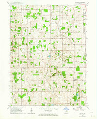 1962 Rutland1964 Print · USGSMarshall and Fulton County farmlands are captured here in the early sixties, split by the historic Old Indian Treaty Bdy. Genealogists can locate family-named landmarks and rural hubs like Poplar Grove Ch, Richland Center, and Rutland.2 unique versions available
 - 1972 Map of Donaldson, 1974 Print
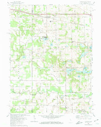 1972 Donaldson1974 Print · USGSThe rural borderlands of Marshall County are captured here in the early 1970s, showing a landscape shaped by rail lines and religious institutions. You can trace the Penn Central tracks through Donaldson or locate local landmarks like Ancilla Domini College and Burr Oak Cem.
 - 1972 Map of La Paz, 1974 Print
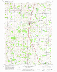 1972 La Paz1974 Print · USGSMarshall County settlement and transit are captured here in the early seventies, centered on the rail hub of La Paz. Researchers can trace family roots through numerous local landmarks like Pine Creek Ch, Mt Zion Cem Ch, and the remote Linkville community.2 unique versions available
 - 1972 Map of Plymouth, 1974 Print
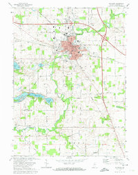 1972 Plymouth1974 Print · USGSMid-century Marshall County thrives as a transit and recreational hub during the early seventies. Genealogists and local historians can trace the foundations of Plymouth through sites like St Michaels Cem, Washington Sch, and the lakeshore developments near Twin Lakes.2 unique versions available
 - 1972 Map of Walkerton, 1974 Print
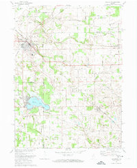 1972 Walkerton1974 Print · USGSIn the early 1970s, the area around Walkerton was a busy rail crossroads for three major lines. Researchers can trace the path of the Baltimore and Ohio railroad through Teegarden or locate family sites near Glenn High Sch and Koontz Lake.
 - 1984 Map of Knox, 1985 Print
 1984 Knox1985 Print · USGSNorthern Indiana's glacial lake country is captured in the mid-eighties, showing a landscape defined by the Kankakee River and major rail lines. Genealogists and historians can trace family ties through lakefront settlements like Lake Maxinkuckee and Bass Lake or the Old Indian Treaty Boundary.2 unique versions available
 - 2010 Map of Plymouth, 2010 Print
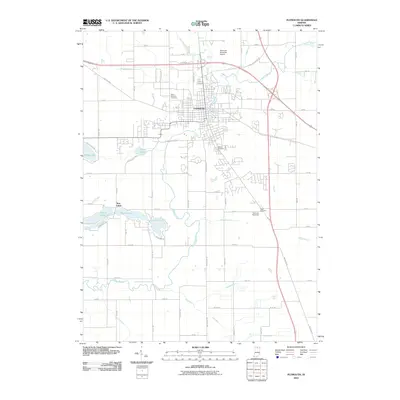 2010 Plymouth2010 Print · USGSPlymouth and its surrounding Marshall County landscape appear at the start of the 2010s, centered on the winding Yellow River. Researchers can trace local heritage through sites like Oak Hill Cemetery, the Twin Lakes settlement, and the historic Lincoln Hwy.
 - 2010 Map of La Paz, 2010 Print
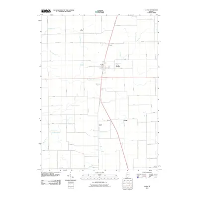 2010 La Paz2010 Print · USGSMarshall County's rural crossroads and family farms are documented here during the early 21st century. Researchers can trace ancestral connections at Fairmount Cemetery and locate small communities like La Paz, Harris, and Linkville.
 - 2010 Map of Argos, 2010 Print
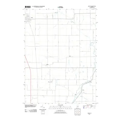 2010 Argos2010 Print · USGSNorth-central Indiana farmland is captured here in the early twenty-first century, centered on the grid of Argos and its surrounding townships. Researchers can trace ancestral farmsteads and rural burials at McGrew Cemetery or follow the winding Tippecanoe River through Talma.
 - 2010 Map of Culver, 2010 Print
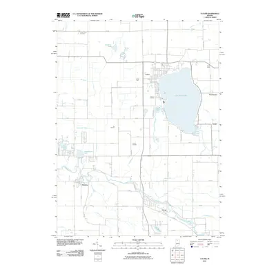 2010 Culver2010 Print · USGSThe lakeside community of Culver and the winding Tippecanoe River define this Marshall County landscape in the early twenty-first century. Genealogists and local historians can trace family plots at Masonic Cemetery or Zion Cemetery and explore the historic footprints of Monterey and Delong.
 - 2010 Map of Bremen, 2010 Print
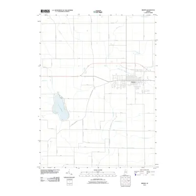 2010 Bremen2010 Print · USGSBremen and the surrounding Marshall County farmland are captured here in the early twenty-first century as the area's agricultural and hydrologic legacy remains clearly visible. Researchers can trace family-named landmarks and old transit routes like the Sarah Hershberger Ditch, Lake of the Wood, and the Plymouth Goshen Trl.
 - 2010 Map of Donaldson, 2010 Print
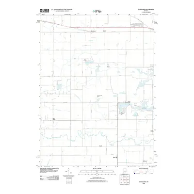 2010 Donaldson2010 Print · USGSNorthwestern Indiana is captured here during the first decade of the millennium, showing a landscape of river-fed basins and agricultural junctions. Genealogists and local historians can trace family plots at Burr Oak Cemetery or study the water systems around Zehner Millpond and Thomas Lake.
Showing maps 1-25 of 79
Top cities of Marshall County
- Plymouth historical maps
- Bremen historical maps
- Walnut historical maps
- Bourbon historical maps
- Argos historical maps
- Culver historical maps
See more
Frequently asked questions
- What are the different types of historical maps available for Marshall County?
- What is the oldest map of Marshall County?
- Where can I purchase historical maps of Marshall County for my home or office?
- Where can I download high-res historical maps of Marshall County?
- Are there historical topographic maps available for Marshall County?
- Is there historical aerial imagery available for Marshall County?
- Where are historical maps of Marshall County sourced from?